|
The Champion Lakes are located in central Idaho’s White Cloud Mountains. They sit at the head of Champion Creek, in a basin with a peak on each side and a cool ridgeline that circles most of the basin. There are a couple trail options for reaching the lakes. Some folks take the long trail up Champion Creek, through the extensive burn area left by the 2005 wildfire. But the better option is probably to approach from the south, using the trailhead on the Pole Creek road, then climbing up and over the ridge to reach the lakes in about three miles of hiking. But even better yet, why not explore the high ridgeline above the basin?
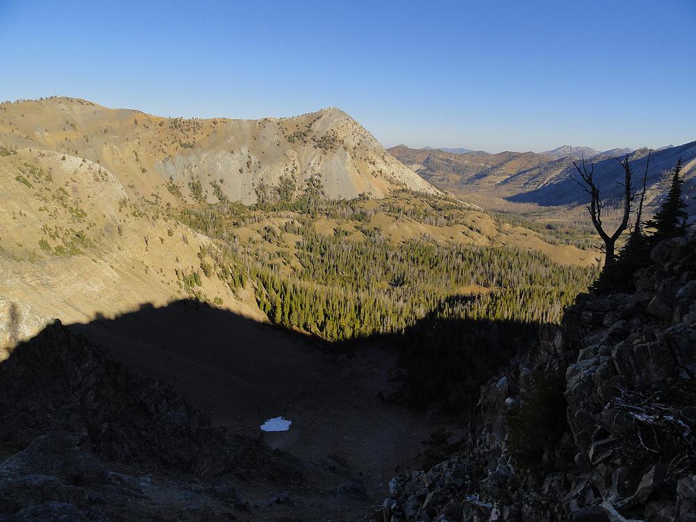
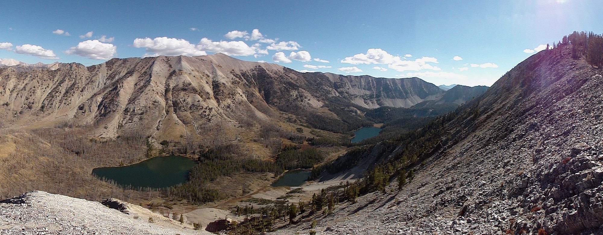
After just under four hours driving from Boise, and some bumpy road up Pole Creek, I was hiking before 9am. Skies were blue, and everything was shaping up for a great day. The trail starts in a small creek drainage, then makes its way very steeply up to the saddle overlooking Champion Lakes in just over a mile. The basin was beautiful, and I could see both of the peaks I planned to climb. Champion Peak on the left, and Washington Peak on the right.
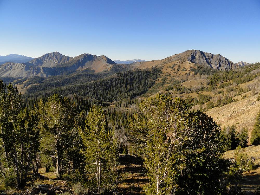
From the saddle, I hung a left and went west along the ridge. The going was easy, with occasional game trails along the way. From the ridge I had a great view of the three Pole Creek Peaks to the southwest. At one point during a rest stop, I looked off the ridge at the valley floor and saw four elk grazing in a meadow. I could even hear some loud bugling in the background.
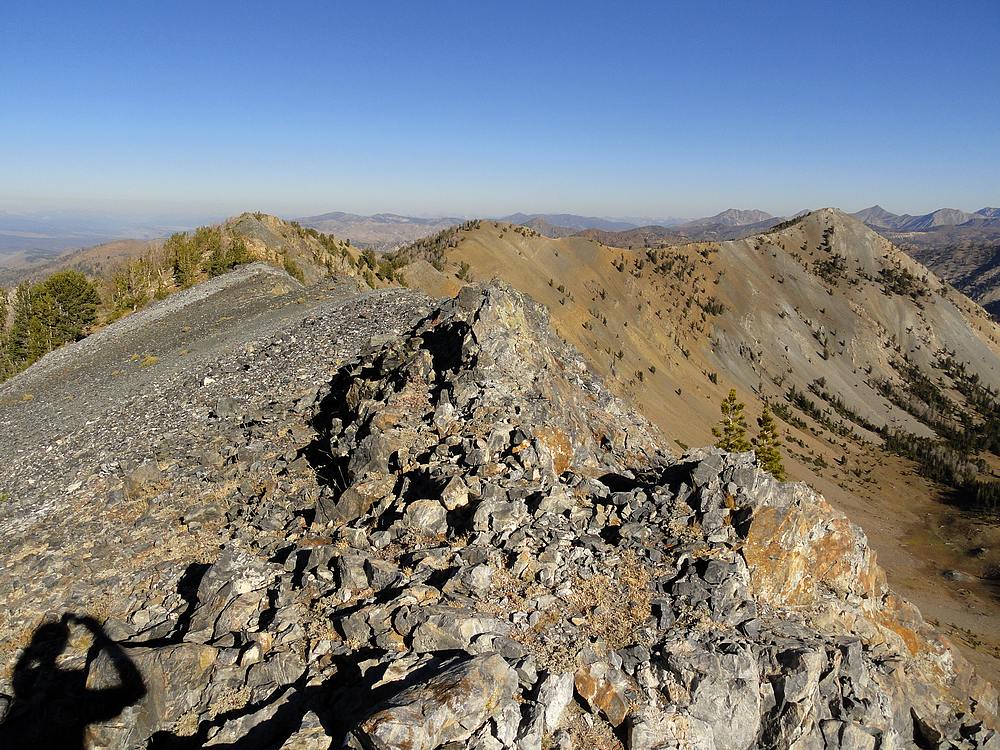
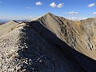
The ridge-walk around the west side of the basin was great. It was mostly just hiking along the undulating ridge, with a few short but fun scramble sections mixed in. The weather was perfect, and the views were excellent. I could see the Sawtooths lit up by the morning sun off to the west, and the big White Cloud Peaks visible to the northeast.
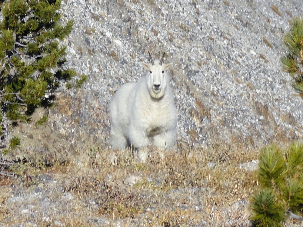
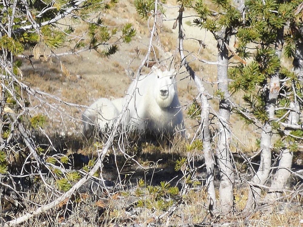
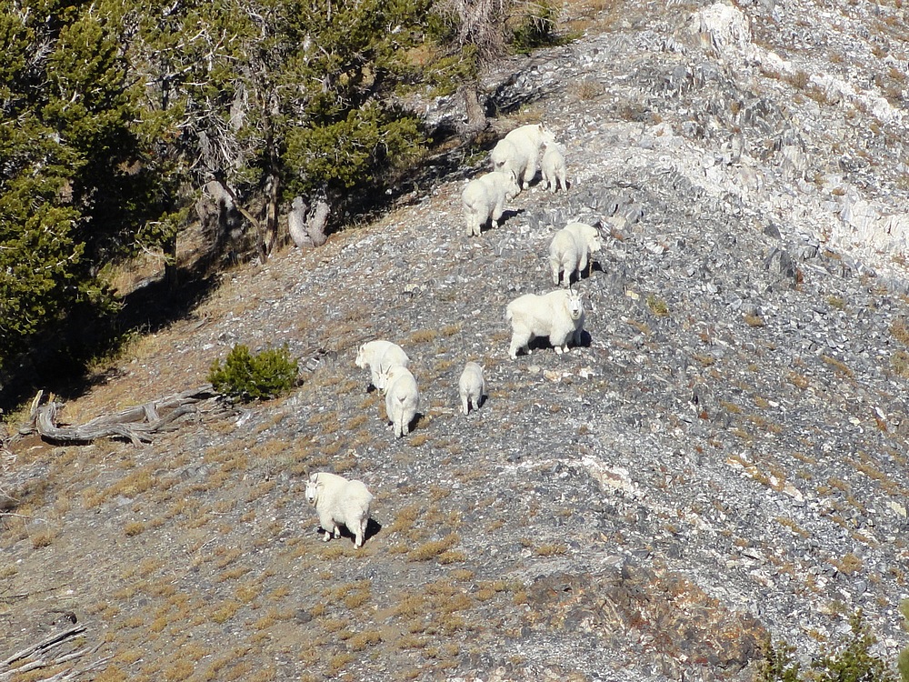
On the final section of ridge before the summit of Champion Peak, I met up with the biggest herd of mountain goats I’d ever seen. The most I counted at one time was sixteen! The wandered ahead of me along the ridge, trying to move away, but not overly concerned. A couple of the larger ones hung back behind the rest as if standing guard over the herd. I went slowly, and eventually they disappeared over the ridge as I made my way to the summit.
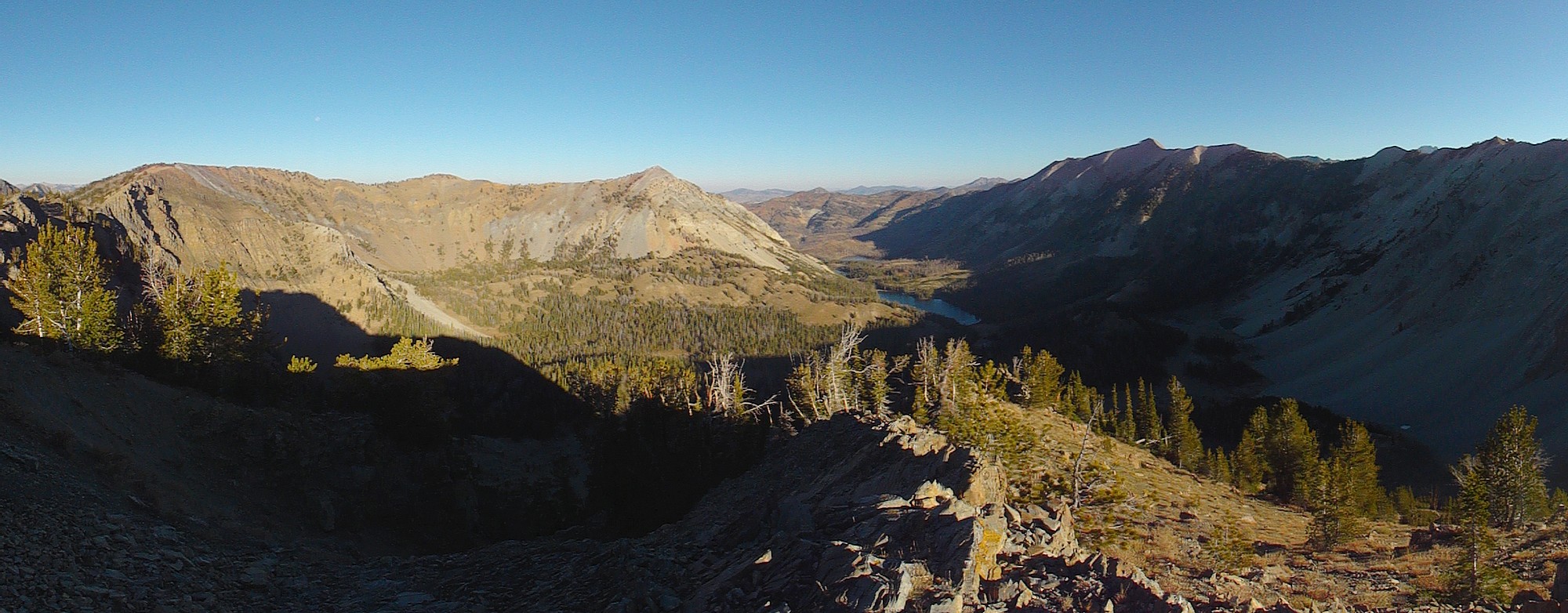
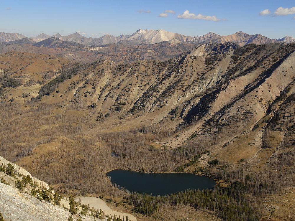
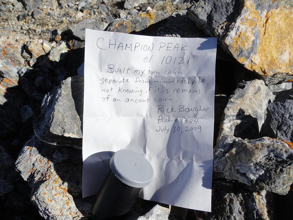
I didn’t make it to the summit of Champion Peak until noon because of my leisurely pace. The summit offered up commanding views of the lakes which were 1500’ below. There was also cairn and a film canister left by Rick B a few years earlier. The sun was out, but I did have to layer up to stay warm while eating my PB&J.
After eating lunch and taking a bunch of photos, I began making my way down the north ridge. Almost immediately after leaving the summit, I caught up with the goats again. They didn’t consider me much of a threat, and stayed just a little ahead of me as we went down the ridge. Further down, I was able to drop off the ridge and circle around them. Next up was a steep talus decent before reaching the valley floor.
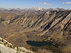
The lower Champion Lake (8593’) had burned along the west and north sides. I started on the west side of the lake in the burn area, then went clockwise around the lake to the north before finding the faint trail on the east side of the lake. It was a pretty lake with some decent campsites near the inlet on the south end of the lake. The upper lake (8661’) was prettier, and I sat on the shore for a while watching waterfowl and enjoying the views.
From the upper lake, there is a fork in the trail. I took the branch leading toward Washington Basin. The trail is easy to follow, and the grade isn’t bad thanks to numerous switchbacks on the way up to the saddle on the ridge separating the Champion Lakes basin from Washington Basin.
It was 4pm by the time I made it to the saddle overlooking Washington Basin. From the saddle, I headed north and made the fun ridge-walk to the summit of Washington Peak. What a view! I’d been here before, but had forgotten how great the views were of Castle Peak and the other White Cloud mountains. The sun was getting low in the western sky making for some great color on the pale peaks.
Looking south from Washington Peak, I had a good view of the ridge leading back to the Champion trail saddle. There were no real challenges along the way, but I kept going slowly because of constantly being distracted by the views. Once back on the trail, it was an easy hike back to the car.
The White Clouds have some of the best ridge-walk options of anywhere in Idaho, and the ridge surrounding Champion Lakes is a great one. The terrain is very manageable, and the views are hard to beat. This hike ended up being 11.5 miles and 4800 feet of elevation gain round trip. It took me just over ten hours, but that was at a pretty leisurely pace throughout the day.
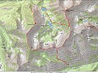
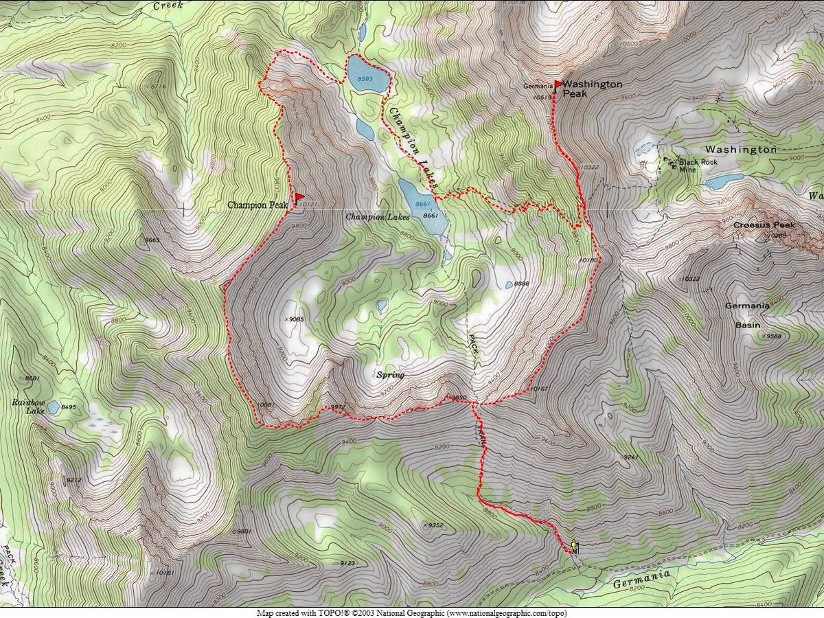
Map of the route, 11.5 miles and 4800' elevation gain round trip. I went clockwise. |
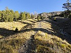
Steep section on the approach trail. |
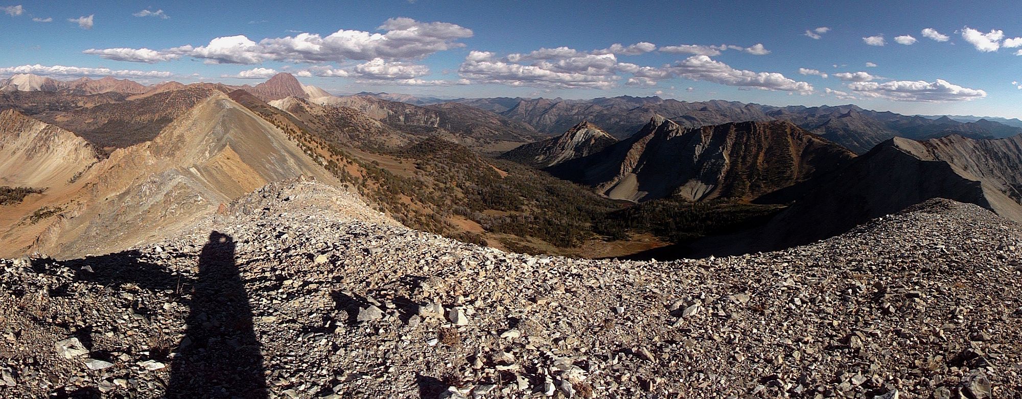
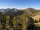
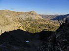
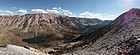
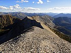
Panoramic view of Champion Peak, Champion Lakes, and Washington Peak. |
Looking southwest toward the three Pole Creek Peaks. |
A little bit of class 3 scrambling on the ridge ahead. |
Close up of four elk far below. |
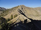
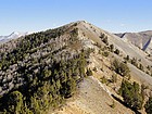
Champion Peak from the south. |
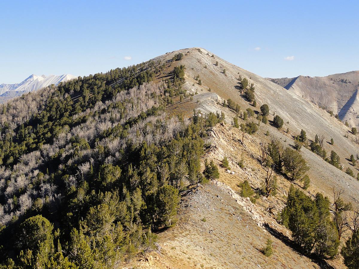
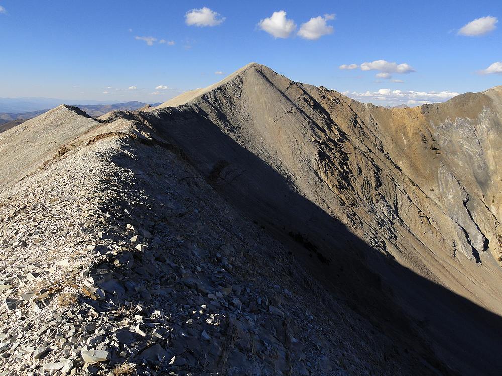
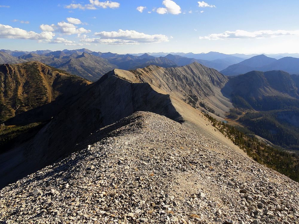
Long ridge leading north to Champion Peak. |
Southwest ridge of Champion Peak, with the herd of goats partially visible. |
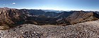
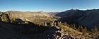
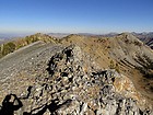
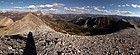
Panoramic view looking south from the summit of Champion Peak. |
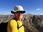
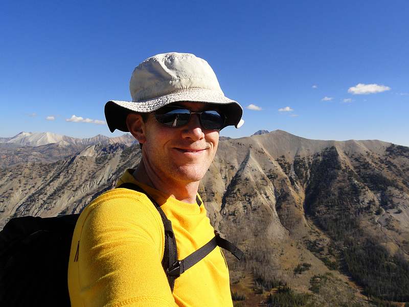
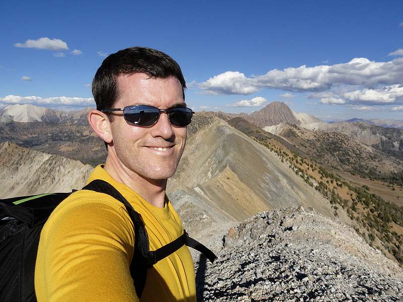
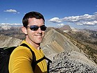
Summit splattski shot on Champion Peak. |
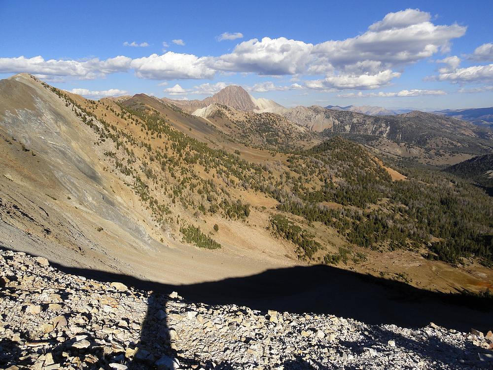
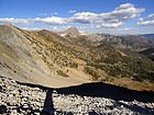
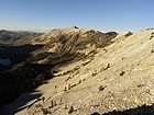
David O Lee Peak in the distance to the northeast. Notice the huge burn area below the lower Champion Lake. |
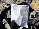
Rick has spent some time in the White Clouds. |
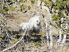
This goat was waiting for me just below the summit. |

Part of the mountain goat herd below me on the north ridge of Champion Peak. |
Panoramic view of Washington Peak above the Champion Lakes. |
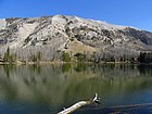
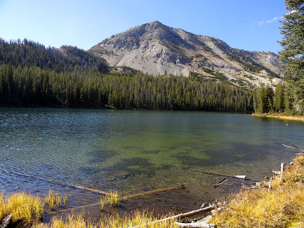
West face of Washington Peak from the lower Champion Lake. |
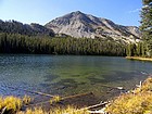
East face of Champion Peak from the upper Champion Lake. |
Washington Peak from the south ridge. |
Castle Peak and Washington Basin from the south ridge of Washington Peak. |
Summit splattski shot on Washington Peak, my second time to summit this one. |
Panoramic summit views from Washington Peak. Hard to beat. |
View of the ridge traverse leading to the trail saddle on the right. |
Looking back with the sun setting on Washington Peak. Champion Lakes on the left. |
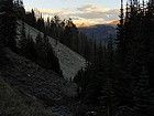
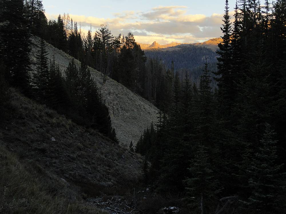
Almost back to the trailhead, with some alpenglow in the distance. |
|
|
|