|
Guadalupe Peak Loop
An excellent 5-peak loop including the highest mountain in Texas
|
Related Links:
- IdahoSummits Trip Report
- Splattski Trip Report
- SummitPost Page
- Lists of John Data
- Peakbagger Stats
- Trailhead Location
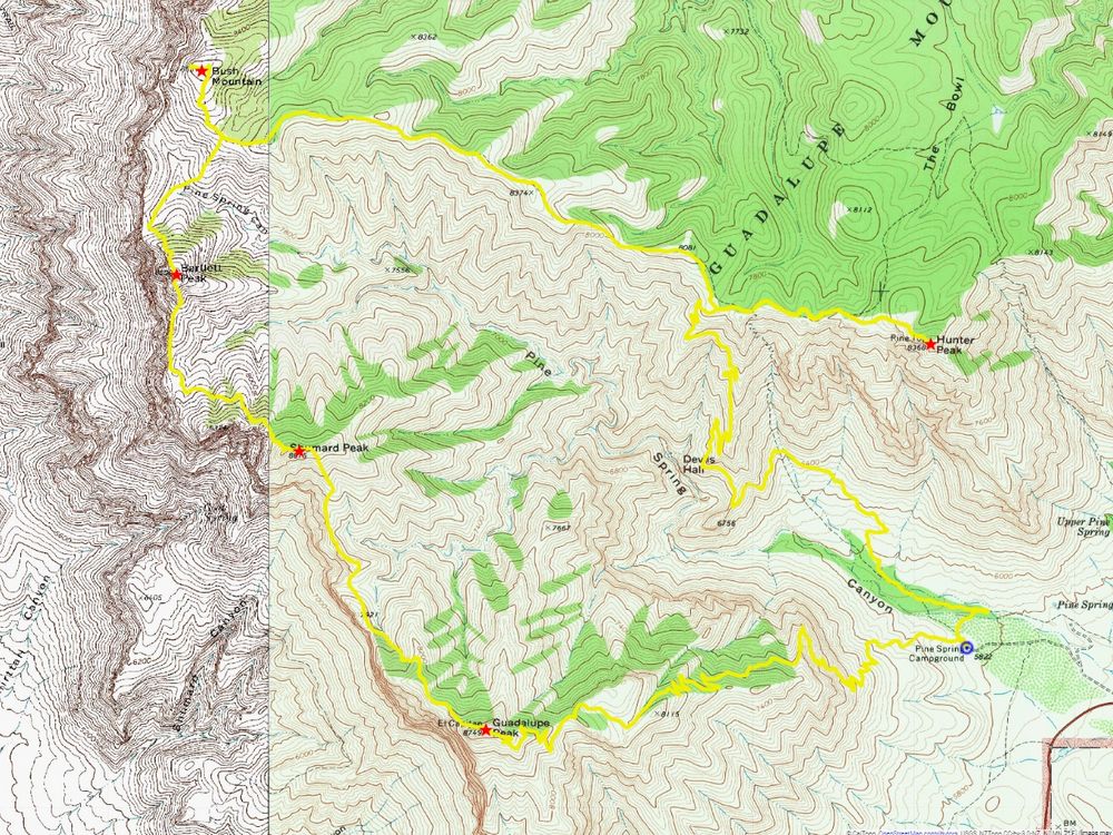
- My GPS Tracks
- Area Map
- Shumard Peak: SP, PB, LOJ, Map
- Bartlett Peak: SP, PB, LOJ, Map
- Bush Mountain: SP, PB, LOJ, Map
- Hunter Peak: SP, PB, LOJ, Map
|
Guadalupe Peak is the highest mountain in Texas and is one of the highlights of Guadalupe Mountains National Park in west Texas. It is a popular hike with a well maintained hiking trail leading to the summit. For those seeking adventure, it is possible to continue cross country from Guadalupe Peak and make a long loop hike connecting five of the six tallest mountains in Texas.
Michael had come up with a great itinerary for our New Mexico & Texas peak bagging trip. After flying from Boise to Albuquerque in the morning, and a quick hike up Sandia Crest in the afternoon, we made the 5+ hour drive south to Pine Springs Campground. Scott had driven over from Houston and got his camper in the last available RV spot.
Scott and Michael had climbed Guadalupe Peak previously, so their main target for the next day was Bush Mountain. I planned to do the full loop. So we decided I’d get up a couple hours early to get a head start, then meet later in the afternoon. After a nice pasta dinner, I settled into the back of the rental pickup to sleep. (Tent campsites were all taken.)
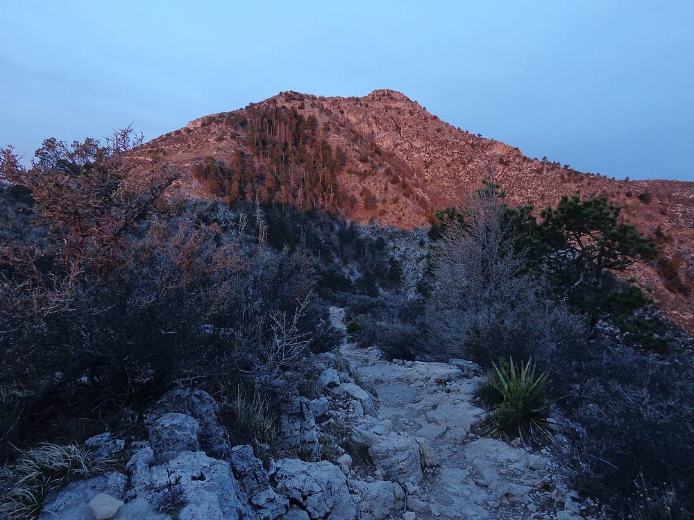
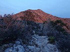
The next morning, I was up and hiking by 5am, an hour early due to time zone alarm clock issues. The early start meant a headlamp was needed for the first hour or so. But the trail was easy to follow and I made good time. One of the highlights of the day was an alpenglow sunrise on the east side of Guadalupe Peak on the way up. Very pretty.
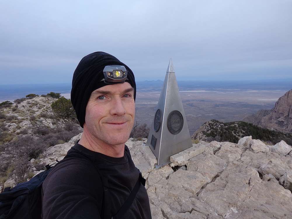
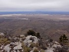
It only took me an hour to hustle up to the summit of Guadalupe Peak, and I hunkered down to get out of the wind while enjoying the views for a bit from the highest point in Texas. But the clock was ticking and I had ground to cover!
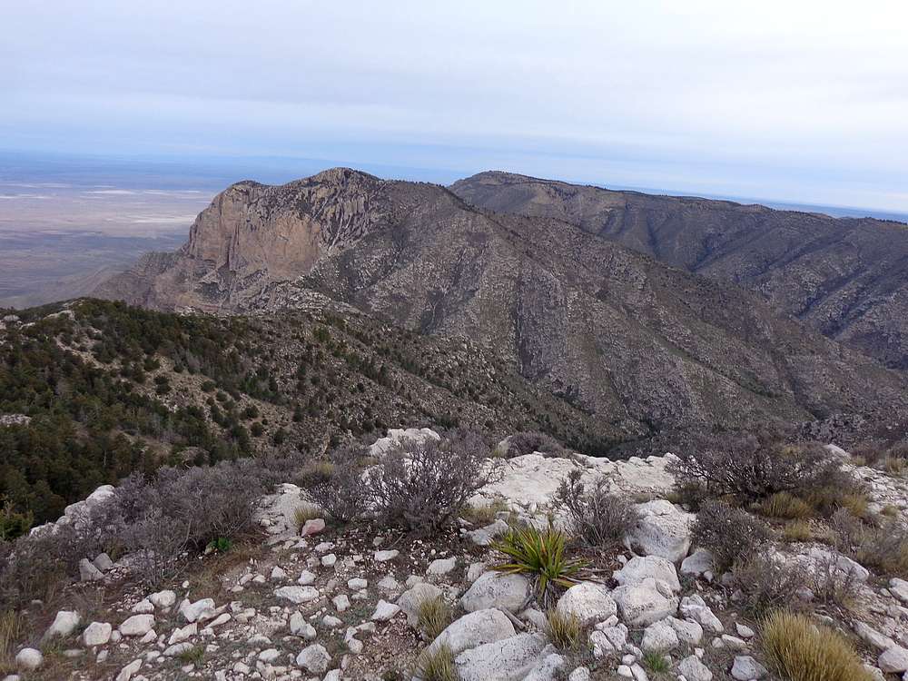
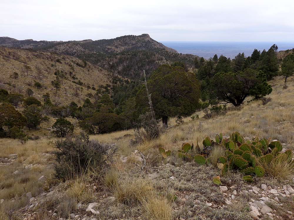
From internet photos, the cross country terrain from Guadalupe Peak to Bush Mountain (via Shumard Peak and Bartlett Peak) looked like easy going. So I was a little surprised to have to deal with some class 3 bushwhacking leaving the summit of Guadalupe. It wasn’t ridiculously bad, just more challenging than I’d expected.
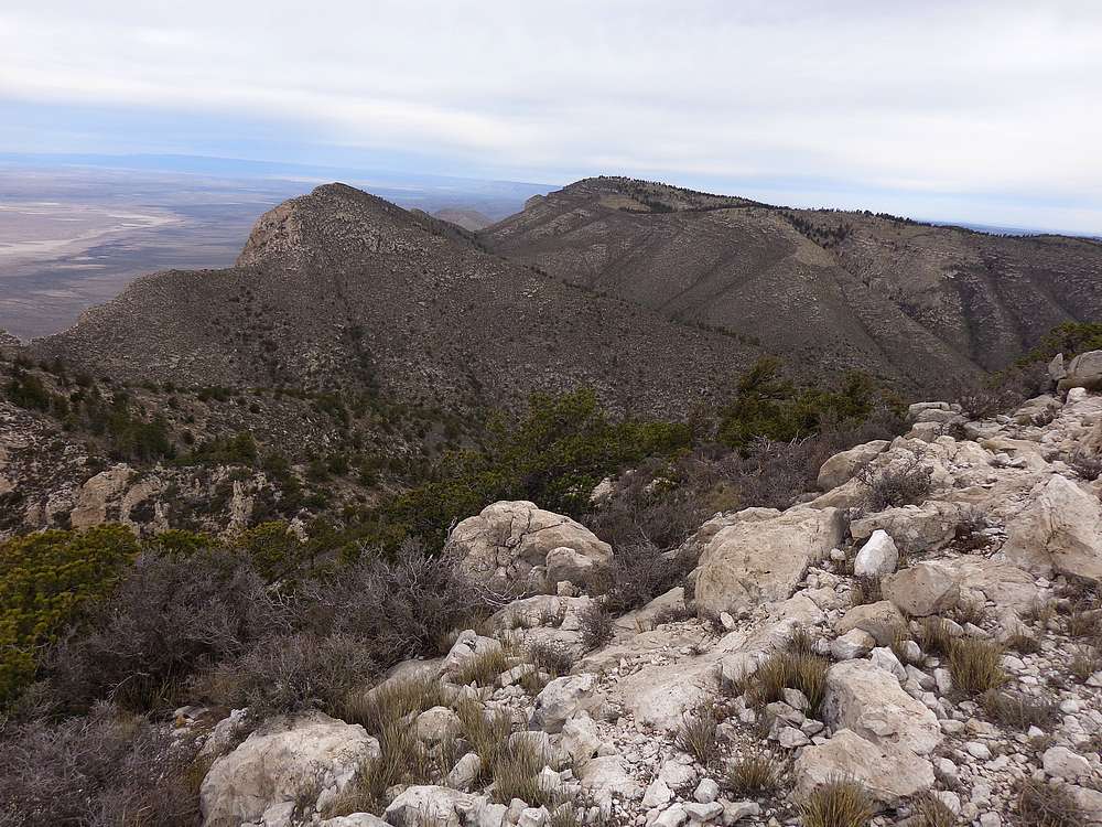
There were occasional game trails along the ridge, but it was generally slow going as I made my way to Shumard Peak. The brush was think on the way down to the connecting saddle, but a little easier to manage on the way up Shumard.
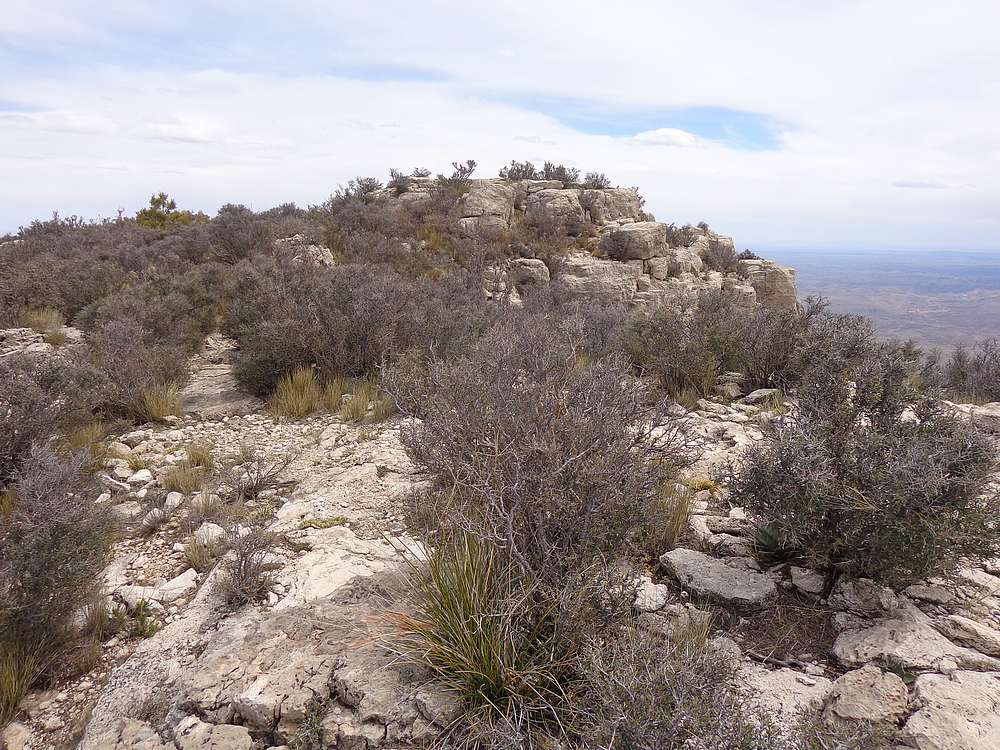
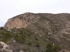
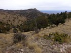
The descent down off of Shumard Peak wasn’t too bad, and my pace increased somewhat on the way to Bartlett Peak. The brush was still thick, but mainly low to the ground, which allowed for good views along the way. I paused for a snack break at the Shumard/Bartlett saddle, with a great vantage point looking down off the massive cliff facing west.
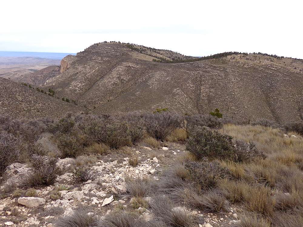
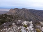
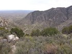
The climb up Bartlett included some easy but fun scrambling until reaching the rounded summit. From here I had a good view of Bush Mountain to the north, and could see hikers on the tail leading to it. I descended to the saddle, then down into the valley a bit, to the head of Pine Springs Canyon, before making the climb up to meet the Bush Mountain Trail.
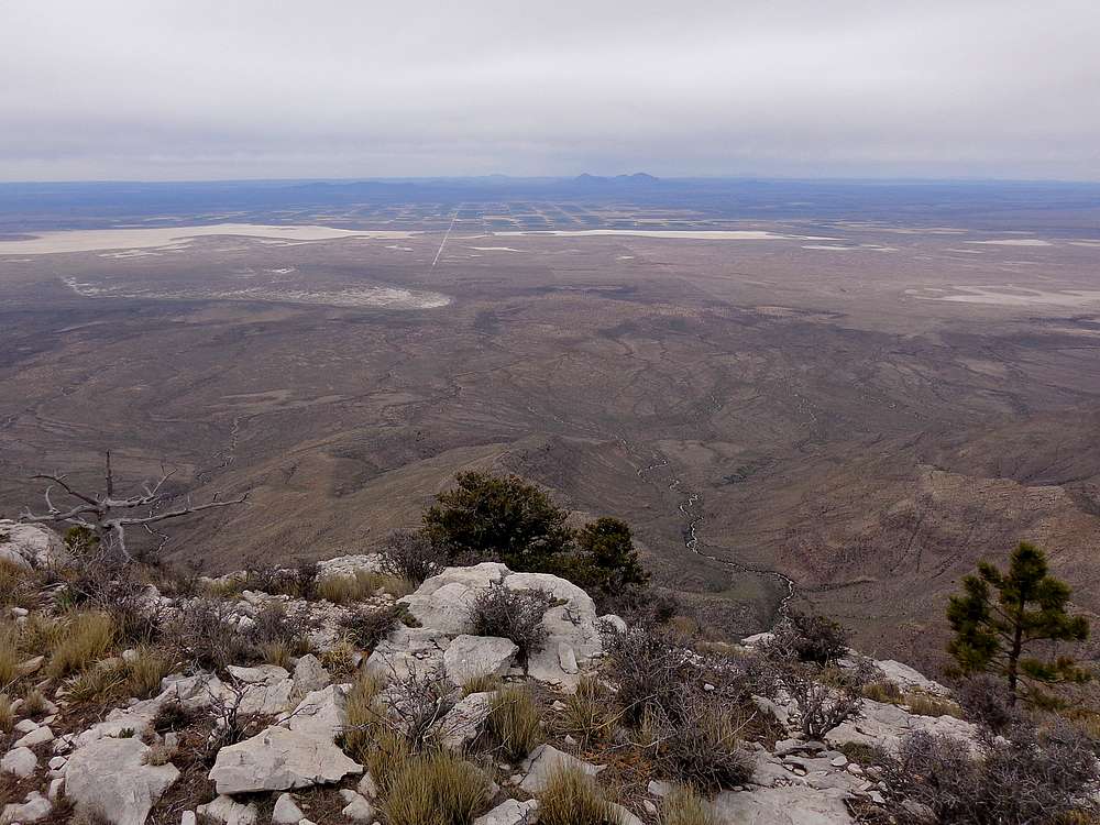
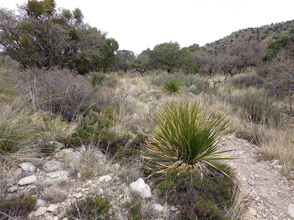
It was nice to be on a trail again. The short but stiff brush had definitely scratched me up a bit during the bushwhack. I hustled up the trail the Bush, hoping to catch up with Scott and Michael. They were nowhere to be found though. The rounded summit of Bush was underwhelming, but here was a more interesting overlook just to the west.
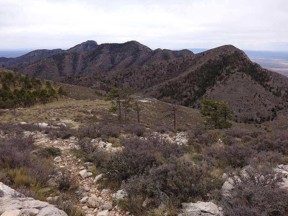
After a PB&J lunch on the summit of Bush Mountain, I headed back down the trail. Along the way, I had great views looking across at the ridge I’d traversed. Not bad! The next objective was Hunter Peak. I hustled down the trail hoping to catch the guys, and eventually met them as they descended from Hunter. We then split again as they descended and I continued up the trail to Hunter.
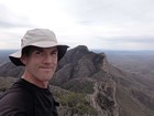
The views from Hunter Peak were great, and I could see the trailhead campground far below. This was peak #5 for the day, and I stopped and rewarded myself with a snack before heading back down. Thankfully the switchbacks were well graded, otherwise my feet and knees would have been even sorer by the end of the day.
Round trip for me was just under 17 miles and 6400’ elevation gain in 10.5 hours. A very satisfying day, and I enjoyed the views and the desert plant life along the way. Next up, Mount Livermore in the Davis Mountains Preserve.

Map of the route, 17 miles and 6400' gain round trip. |
Sunrise alpenglow on Guadalupe Peak |
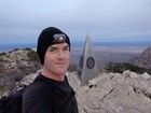
Summit of Guadalupe Peak. |
Shumard Peak from Guadalupe Peak. |
View of the route up Shumard Peak. |
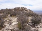
Summit of Shumard, Guadalupe in the background. |
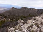
Bartlett Peak and Bush Mountain from Shumard Peak. |
Bartlett Peak from the south. |
Bush Mountain from Bartlett Peak. |
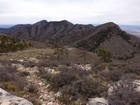
View back at the Guadalupe traverse from Bush Mountain. |
View looking west from Bush Mountain. |
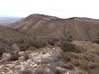
Hunter Peak from the trail to the west. |
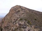
Nearing the summit of Hunter Peak. |
Trail switch backing down to Pine Springs. |
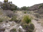
Interesting vegetation throughout the day. |
|
|
|