|
Mount Livermore
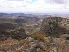
Mount Livermore is the tallest peak in the Davis Mountains of west Texas. The Davis Mountains form a “sky island” rising up above the surrounding Chihuahuan desert. The area is scenic and diverse, thanks to cooler and wetter conditions than the surroundings. Like much of Texas, it was once private land. But The Nature Conservancy acquired the land in order to preserve it. They make it open for the public to explore a few weekends each year.
Michael had come up with a great itinerary for our New Mexico & Texas peak bagging trip. After a great day exploring the Guadalupe Mountains the day before, we made the 2.5 hour drive to Davis Mountains State Park and set up camp. Then Scott treated us to some great chicken fajitas for dinner before turning in for the night.
The next morning, we made our way up the road another half hour to the Davis Mountains Preserve, where we signed in at the visitors center and enjoyed some homemade cookies before heading up to the Madera Canyon trailhead. There were several cars already there, taking advantage of a rare opportunity to explore the preserve. In fact, the open date was the basis for Michael’s planning for this entire great trip.
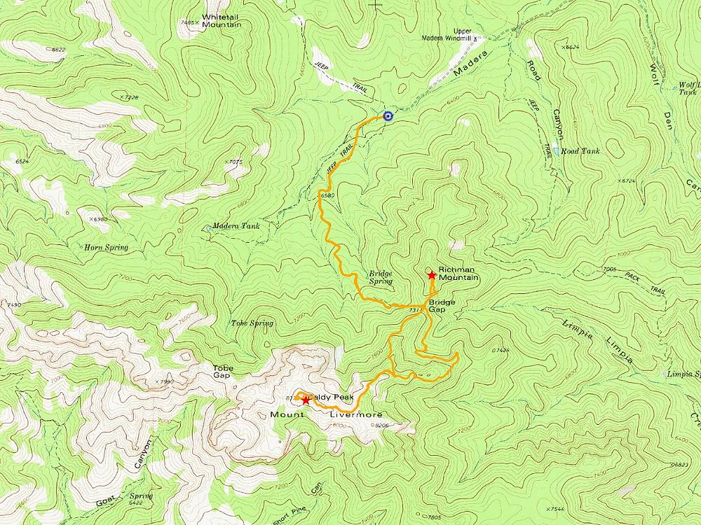
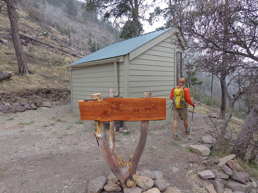
We made our way up the old road to Bridge Gap, enjoying the scenery along the way. Once at the gap, it had started snowing and blowing, so we took a snack break in the shelter waiting for it to settle down. Next, we made a side trip to tag the summit of Richman Mountain. It was a quick climb up slopes that had recently been uprooted by a band of javelinas. After signing the register, we backtracked down to Bridge Gap.
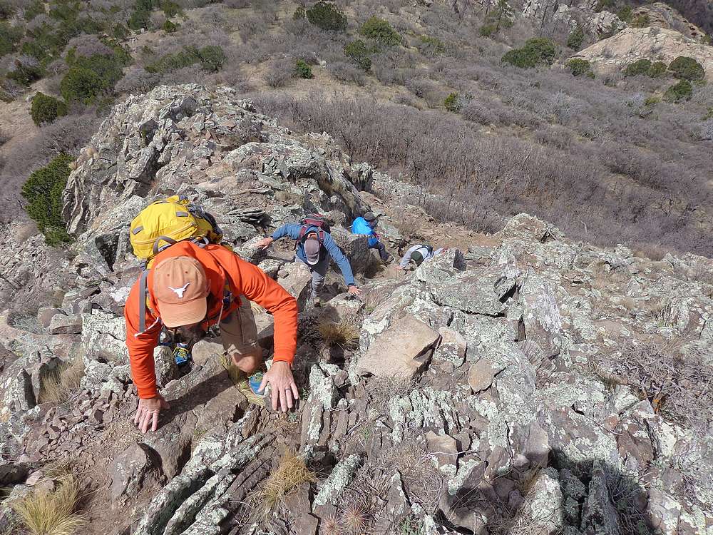
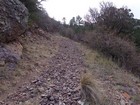
From here, the uphill began in earnest as the old road took us steeply upward toward Mount Livermore. Eventually the road flattened out, and circled around to the west side of the peak. The finish was a quick scramble up the summit block. It was a full-on class 3 route. The handholds were solid, and we had no issues making to the summit.
It was a bit breezy on the summit of Mount Livermore, so we decided to head back down to find a lunch spot out of the wind. On the way back, we used the Limpia Trail to reach Bridge Gap. This was the descent route recommended by the folks at the visitor center. It was a bit longer, but less steep. Also a great opportunity to explore more terrain.
We all really enjoyed the hike and the surrounding terrain. Round trip was 7.3 miles and 2400’ elevation gain in 5 hours of hiking. Next up, Big Bend National Park.
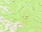
Map of the route, 7 miles and 2400' gain round trip. |
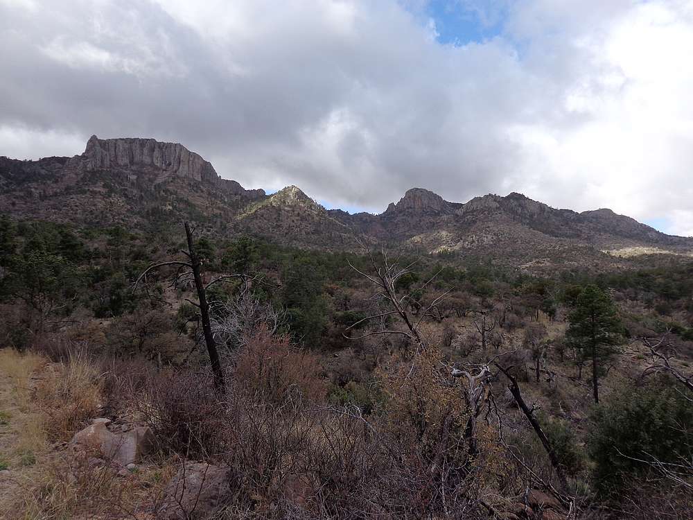
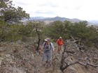
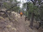
Davis Mountain Preserve, early in the hike. |

Dave's Shelter at Bridge Gap. |
Nearing the summit of Richman Mountain. |
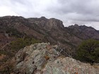
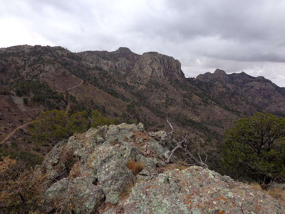
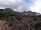
Mount Livermore from the summit of Richman Mountain. |
Steep road up Mount Livermore. |
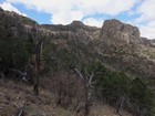
Summit of Livermore coming into view. |
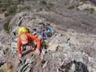
Fun scramble to reach the summit of Mount Livermore. |
Mount Livermore summit view. |
Hiking down the Limpa Trail. |
|
|
|