|
Big Black Dome & Pyramid Peak
The Pioneer Mountains are one of Idaho’s premier mountain ranges, and are home to numerous towering peaks and fantastic scenery. Included amongst the tall mountains are Big Black Dome and Pyramid Peak. Big Black Dome is known for being one of the easier individual 11ers to climb in Idaho. Nearby Pyramid Peak is located along a connecting ridge to the south. Each provide excellent views of Copper Basin, and looking down into the Left Fork Fall Creek. While typically climbed separately, it is possible to combine these two peaks into a single challenging outing.
|
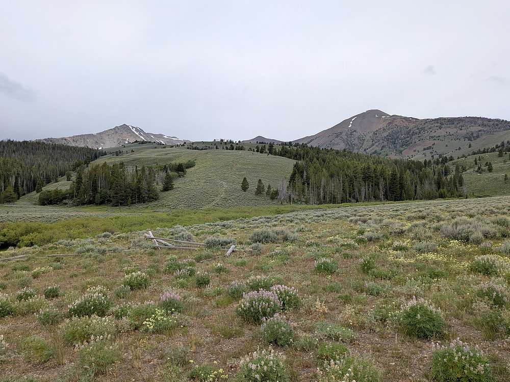
After a long day climbing Raphaels Peak and Recess Peak, I’d camped at the Fall Creek trailhead the prior night, before driving around to Copper Basin the next morning. After some indecision, I eventually parked at 8200’ by Ramey Creek, instead of the normal upper 8700’ trailhead for Big Black Dome. My main motivation was to avoid uphill hiking at the end of the day, and taking advantage of the open sagebrush slopes shown here. |
|
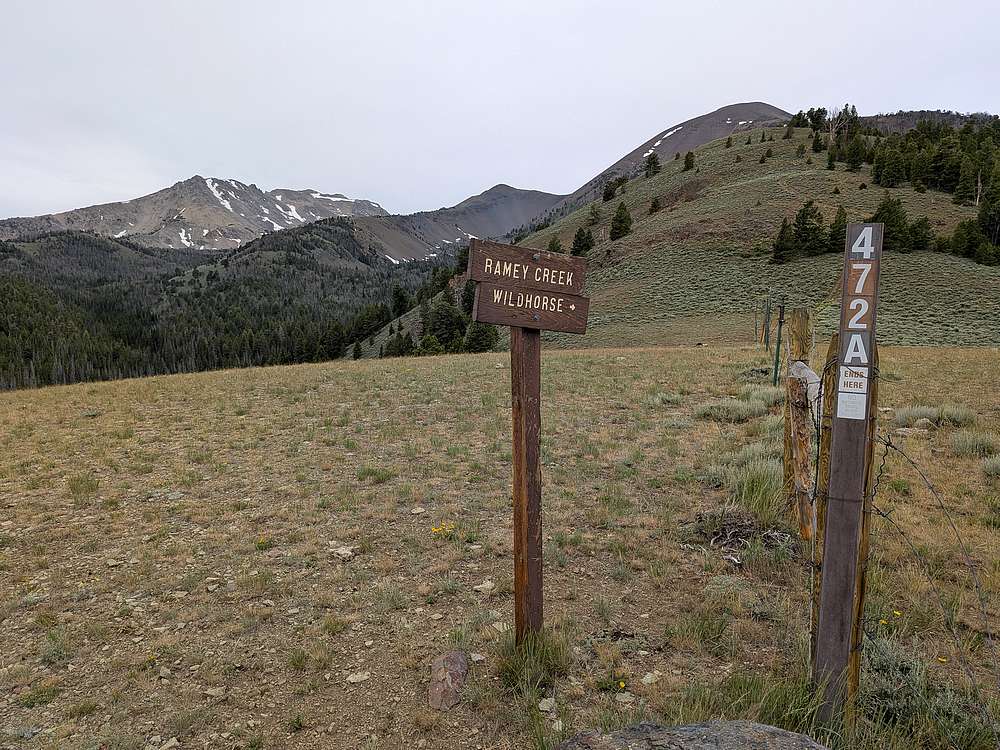
Hiking the jeep road to the upper trailhead didn't take too long, then the grade got steeper.
|
|
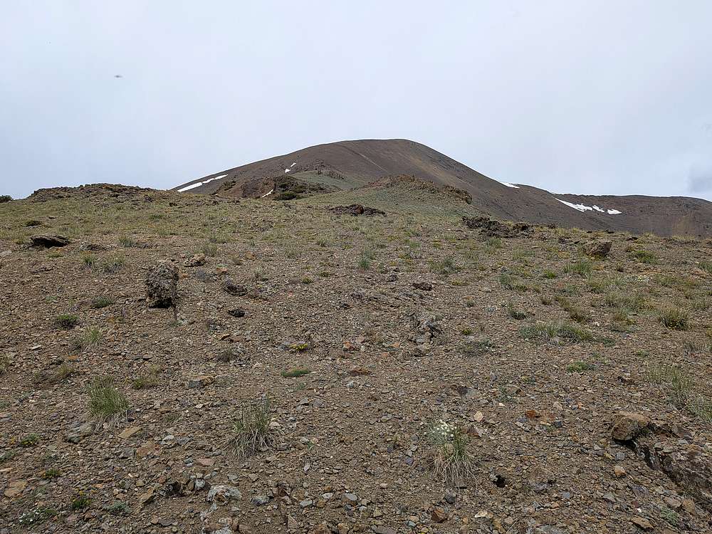
The wind started picking up as I made my way up the top portion of Big Black Dome.
|
|
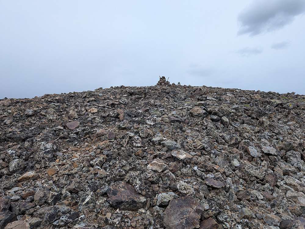
Big Black Dome summit cairn. 3 miles, 3100' gain, and 3 hours to get here.
|
|
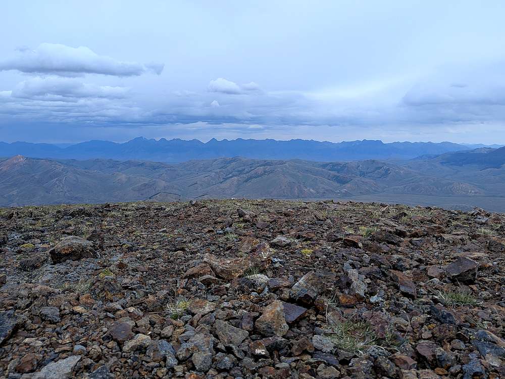
Lost River Range from Big Black Dome. Mt Borah on the left.
|
|
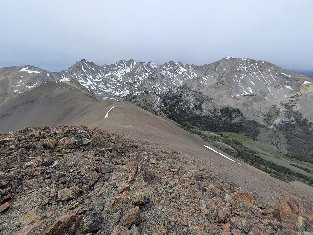
Time to head south toward Pyramid Peak, second bump from the left on the distant ridge.
|
|
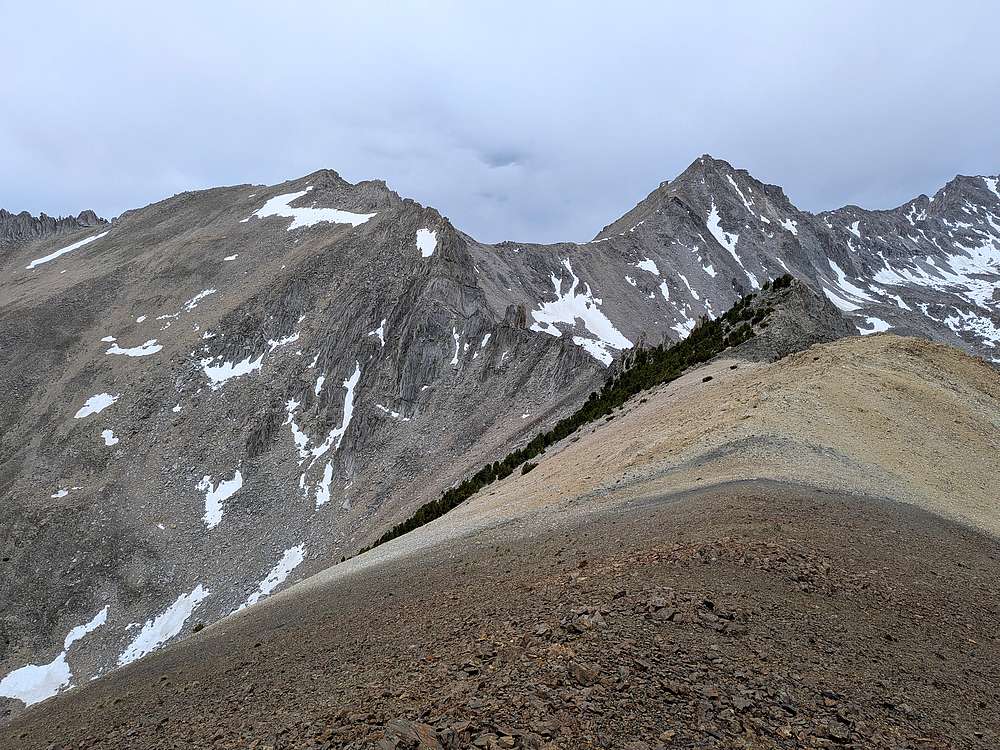
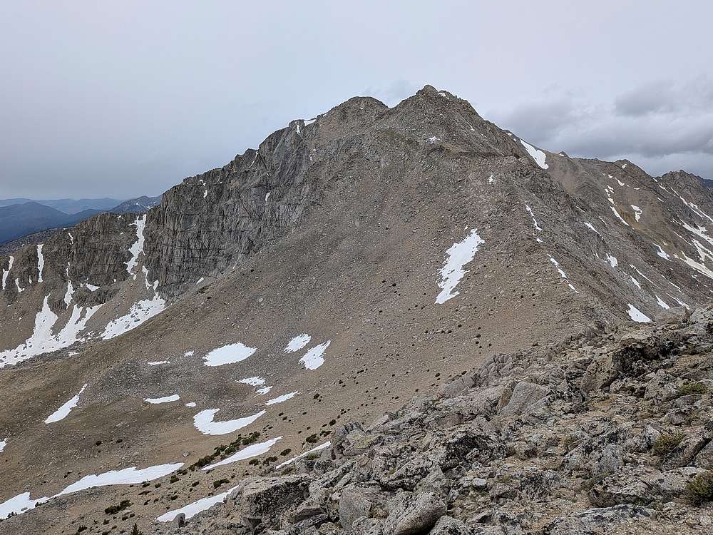
The ridge was pretty mellow most of the way, but I could see a tough section guarding access to Pt 11,281'. After a lunch break at the saddle, I opted to drop 200' off the east side of the ridge to avoid cliffs, then climbed the face.
|
|
I was mostly guarded from the wind while climbing the face, but that changed as I rounded the point. Pyramid's summit was now in view, but it was slow going with occasional wind gusts trying to knock me over.
|
|
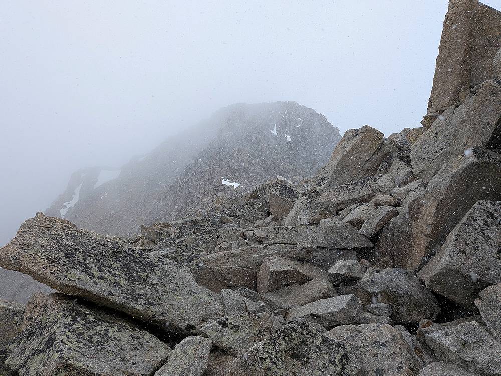
Weather conditions only got worse as I climbed Pyramid's northeast ridge. Snow was falling, and the wind was savage as I approached the summit block.
|
|
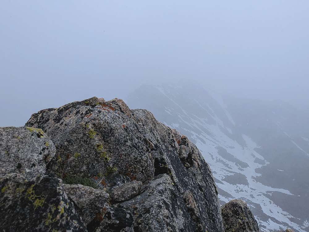
Once on the summit of Pyramid Peak, I huddled behind some rocks but the conditions were still harsh. Here's and almost view of Altair Peak to the west.
|
|
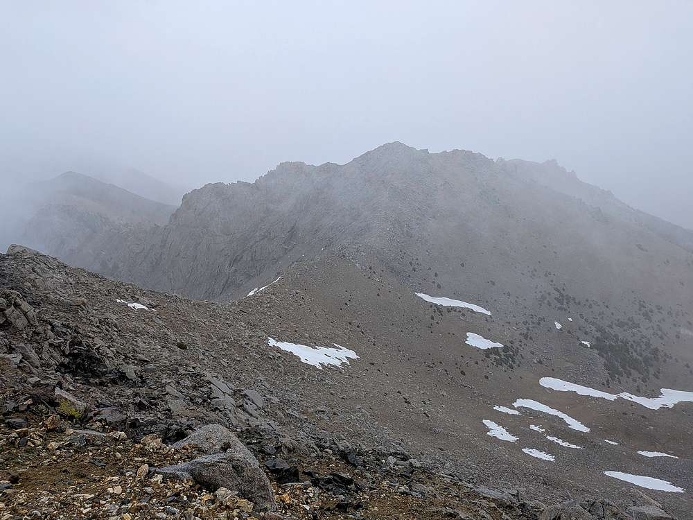
Getting back down was a chore. I skirted below the summit ridge for a while, which was a little easier going than the ridge proper. But the snow was now blowing sideways. It was fairly miserable. It wasn't until after I passed Pt 11281' again and started descending, that the weather relented slightly.
|
|
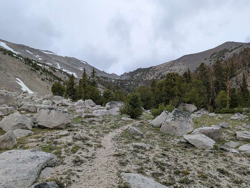
It was a relief to get down in the Ramey Creek valley to escape the wind and weather. Here’s a view looking back on the saddle between the two peaks.
|
|
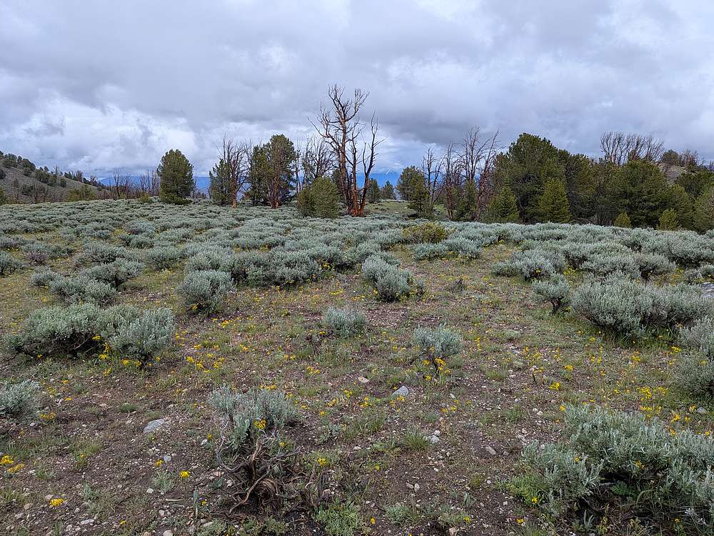
The last couple of miles were downright pleasant after escaping the higher elevation weather.
|
|
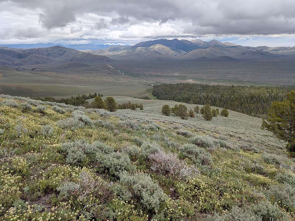
Here’s the final section back down to the trailhead. My truck is the white speck just beyond the creek. Warm dry clothes were in my future. What kind of people do this stuff voluntarily as a hobby?!?!
|
|
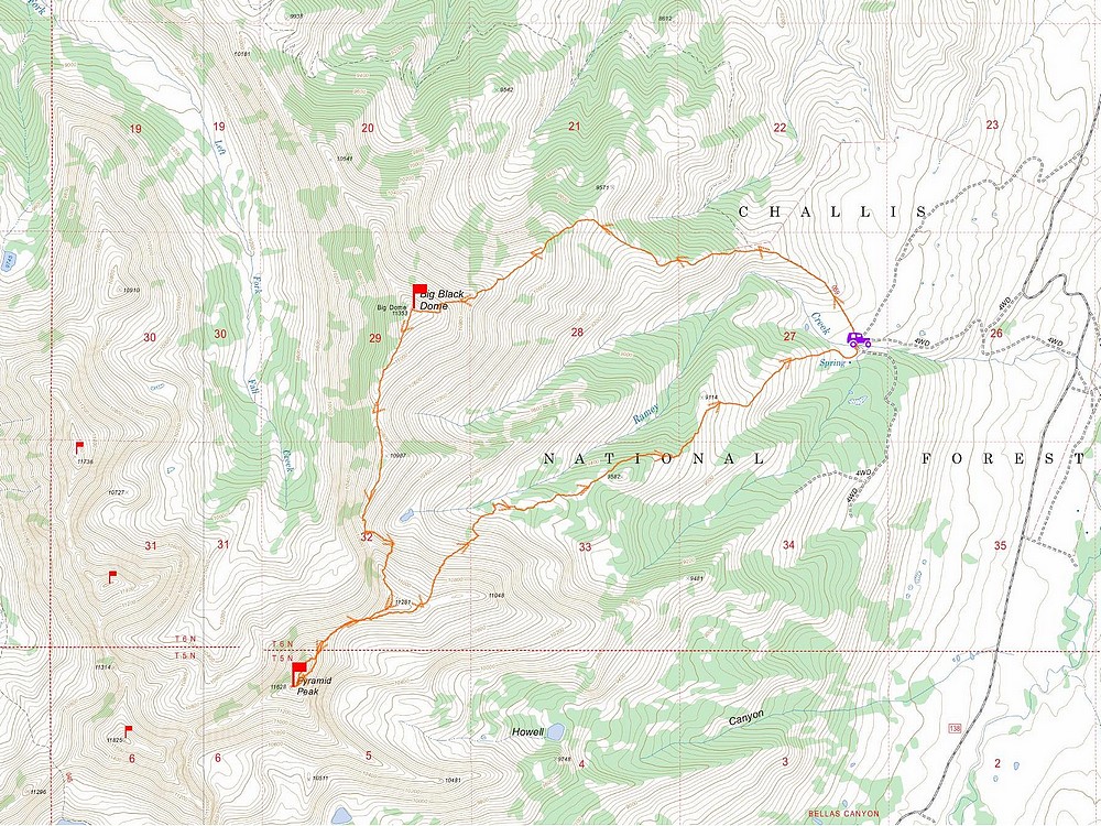
Map of my route. Just over 9 miles and 4800' elevation gain round trip, in 8.5 hours of hiking. What a day!
|
Related Links
- My GPS Tracks
- Trailhead Location
- Big Black Dome:
TL,
IS,
PB,
LOJ,
SP,
Map
- Pyramid Peak:
TL,
IS,
PB,
LOJ,
SP,
Map
|