|
Raphaels Peak & Recess Peak
The Pioneer Mountains are one of Idaho’s premier mountain ranges, and are home to numerous rugged peaks and fantastic scenery. Included amongst the rugged mountains are Raphaels Peak and Recess Peak. Raphaels Peak is the newest “official” 11er per new LIDAR data in late 2025. And Recess Peak is arguably the most remote 11er in the Pioneers. It is possible to combine these two peaks into a single challenging outing.
|
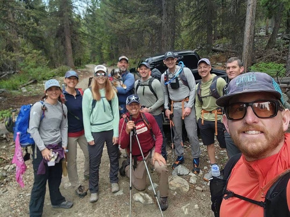
I was excited to join a group climb of Raphaels scheduled by Jason Lee Nipper. Several of us camped at Wildhorse Campground the night before, and Bray was kind enough to pick me up at Fall Creek trailhead in the morning, where I left my truck. After a short but bumpy drive up the old jeep road, we were ready to hike! (Photo by Bray A.)
|
|
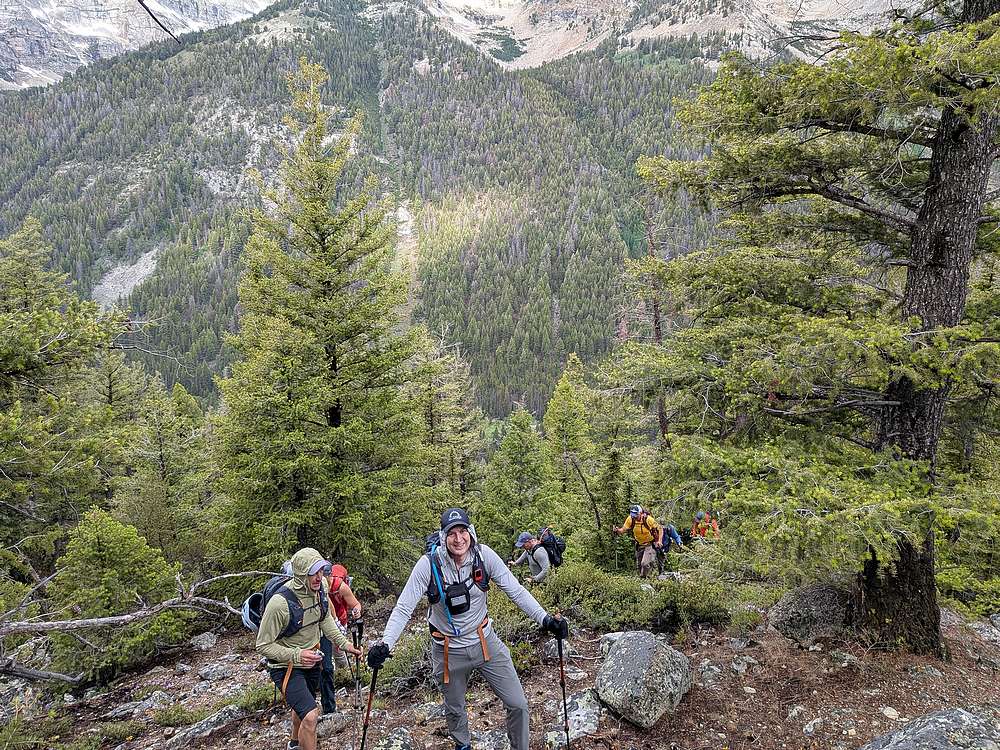
No warmup section on this climb, we'd need to gain 3800' in only 2 miles! But spirits were high as we hiked up through forest early on.
|
|
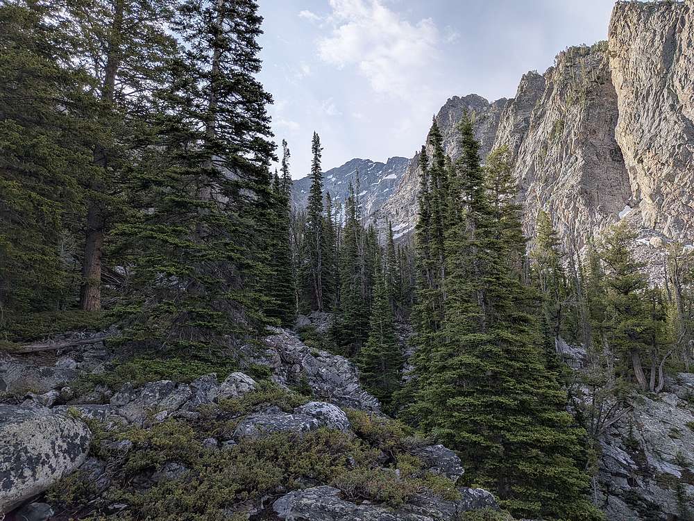
Views improved as we got higher.
|
|
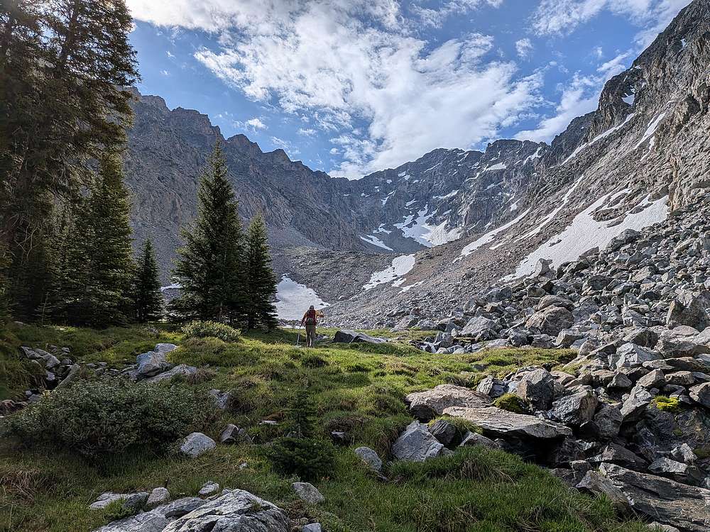
Gorgeous grassy meadow as we entered the cirque higher up.
|
|
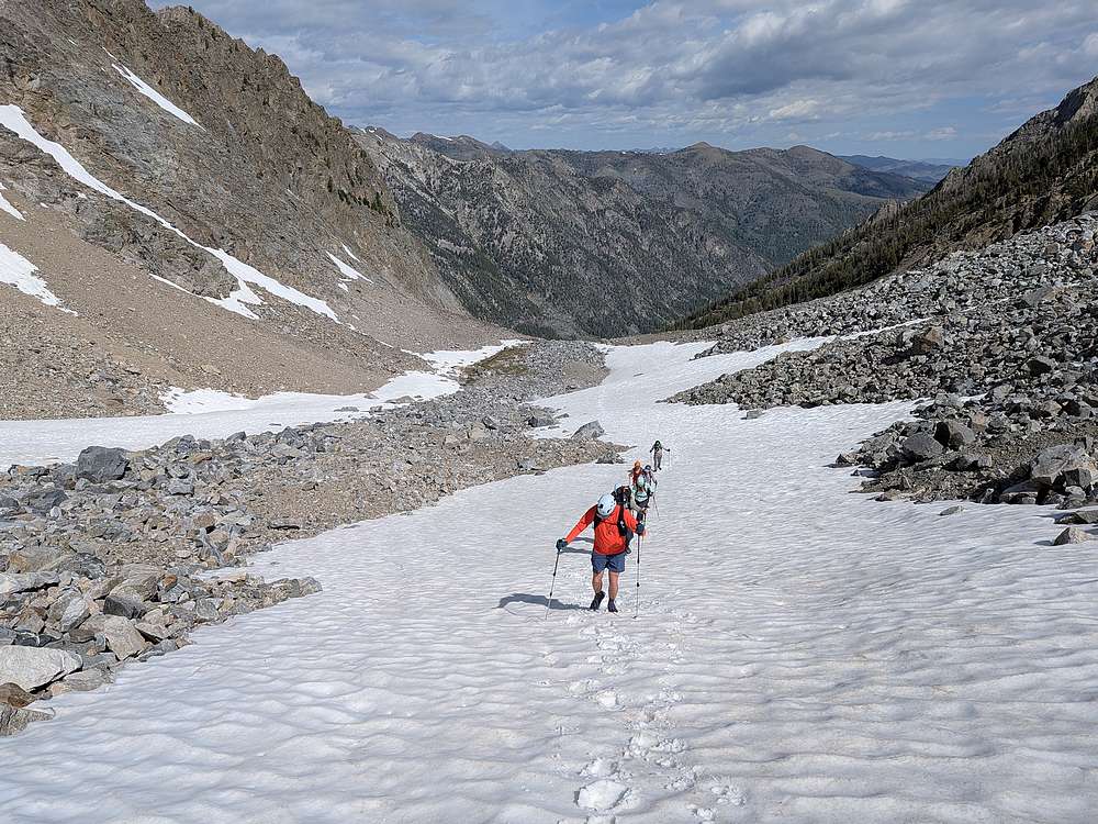
This snowfield was easier to hike on than the surrounding talus and boulders.
|
|
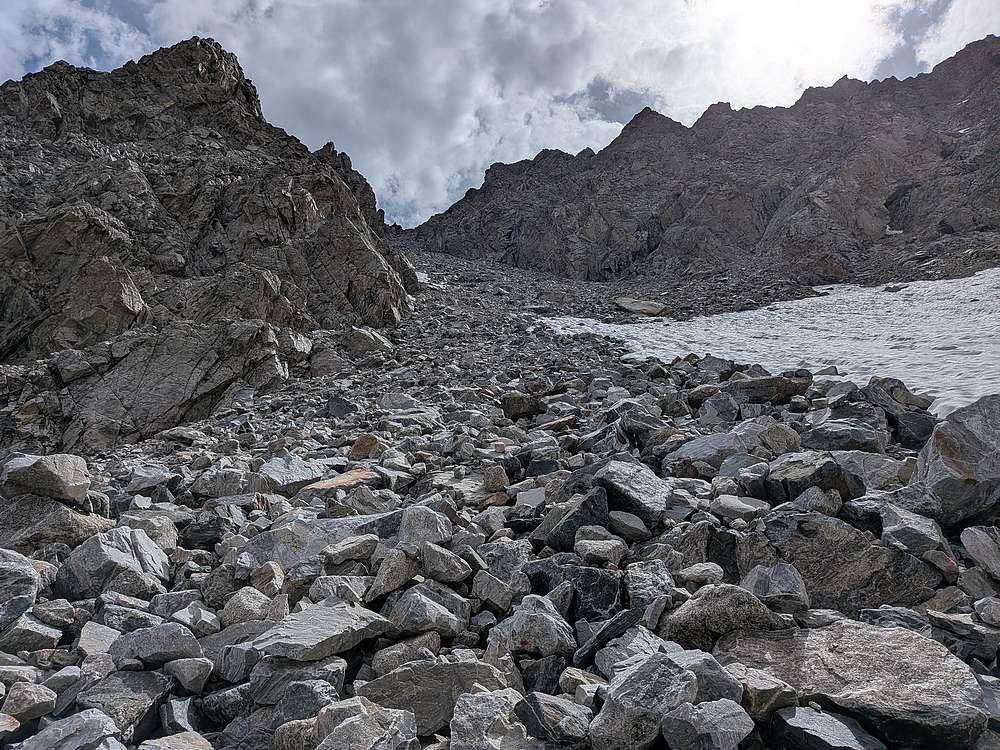
Once at the head of the cirque, we hung a left at the steep rubble filled gully,
|
|
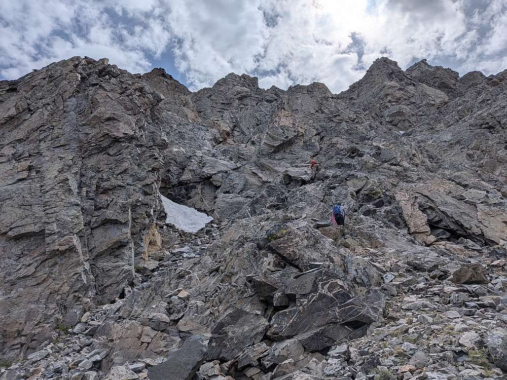
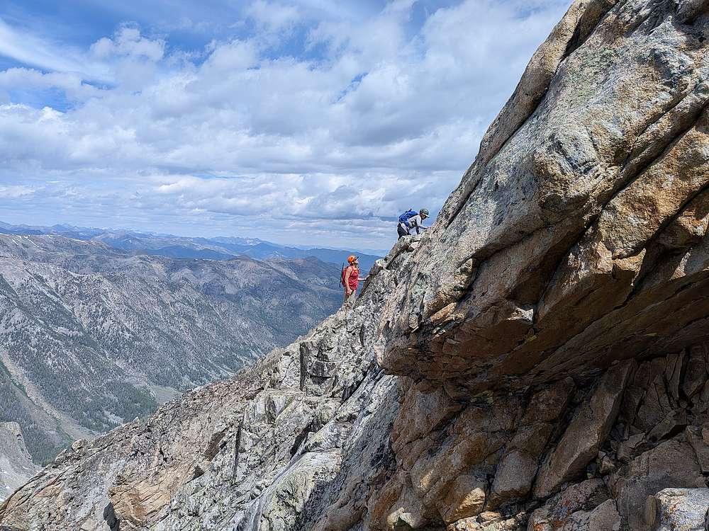
A few of us opted for steeper scrambling to the right of the gully. We hoped to reduce the rockfall risk, and maybe even find an alternate route in the process.
|
|
We enjoyed some fun scrambling and route-finding along the way. Unfortunately we got cliff'd out below the summit, and had to descend a bit before finding a way to the top.
|
|
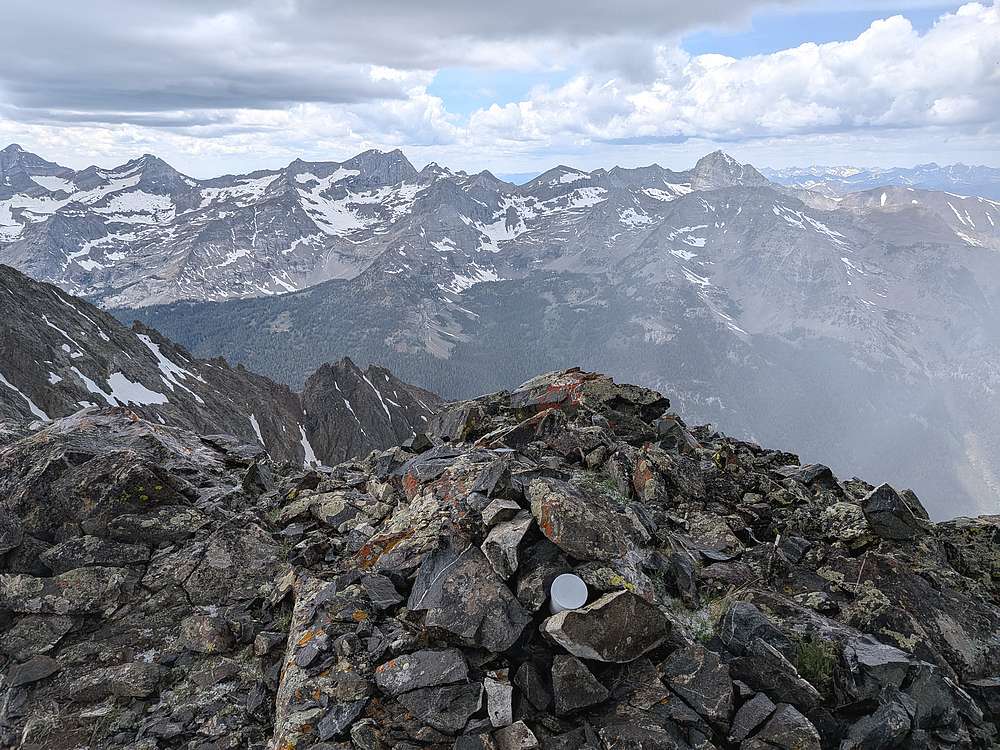
Some scary weather came in as the last of us neared the summit. Graupel was falling, thunder was booming, and ice axes were buzzing. This prompted a quick retreat off the summit for most of the group. With bigger plans for the day, I waited below the summit while eating a PBJ, my eyes on clearer skies to the northwest.
|
|
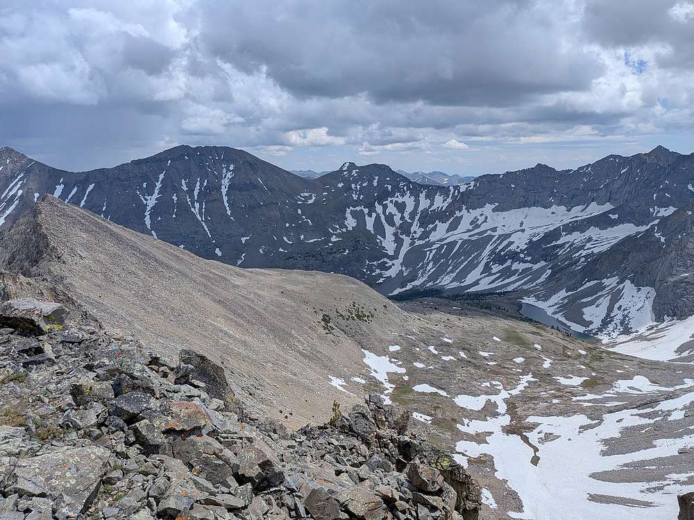
Thankfully the weather improved a bit after some brief but scary conditions. Even thought I was a couple hours behind schedule, I decided to head for Recess, the funky shaped peak shown in the center.
|
|
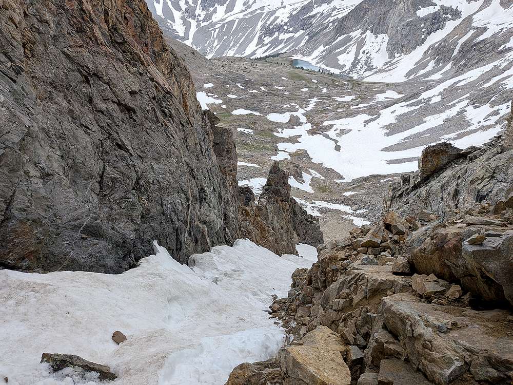
Descending Raphaels south face was uncharted terrain. Eventually, after some trial and error, and a few 4th class moves, I made it down to this steep snow finger that gave me a path down the mountain. Everywhere else was pretty well guarded by cliff bands, so I felt fortunate to find a way down.
|
|
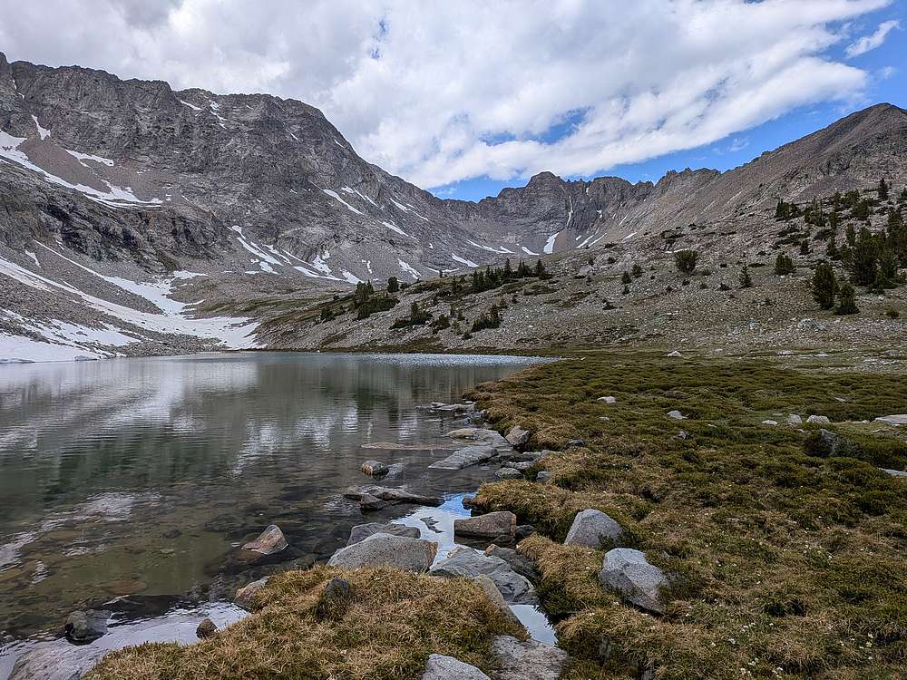
The descent was tedious, and I was even further behind schedule by the time I made it down to the unnamed lake to pump water. It was a great vantage point to see the steep south face of Raphaels, and the snow finger to the right (east) of the summit block.
|
|
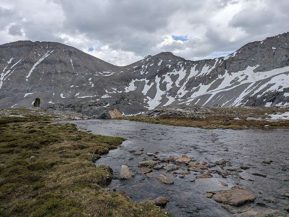
From the lake outlet, Recess looked close. But I still had to descend to the headwaters of Fall Creek, before needing to climb another 2000' to summit Recess.
|
|
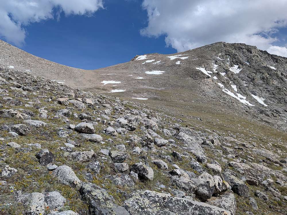
It was getting late, and I was feeling whooped as the summit finally came into view.
|
|
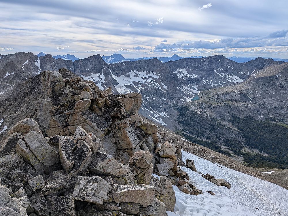
Recess Peak summit view looking northwest. Raphaels is on the far right. I love the depth in this shot, with both ridgelines and cloud layers extending into the distance.
|
|
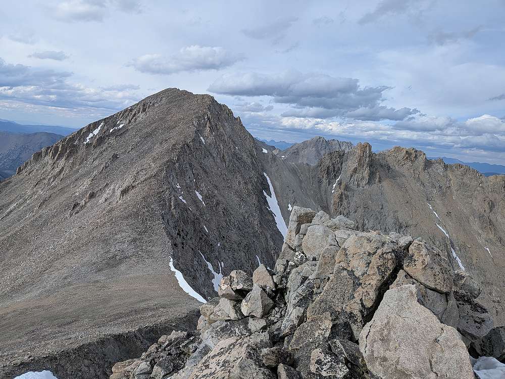
The Fin and Altair Peak to the northeast of Recess.
|
|
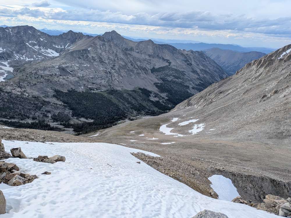
It was now 6:30pm, and I still had 8 miles to cover from Recess to the Fall Creek trailhead. Time to head down!
|
|
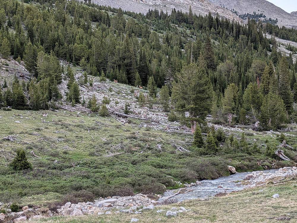
The upper portion of Fall Creek was pretty, and I saw several deer along the way, like these two.
|
|
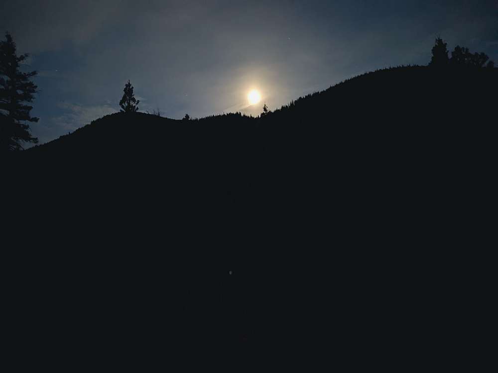
After bushwhacking all day, it was a relief to hike on a trail the last five miles. And there was even a full moon to light the way.
|
|
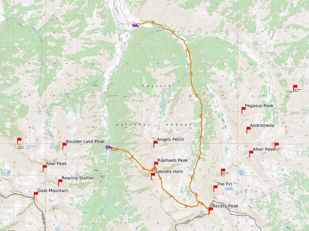
Map of my route. Almost 16 miles and 6200' elevation gain round trip, in 14.5 hours of hiking. What a day!
|
Related Links
|