|
Camelback Mountain
Elevation 2,704'
Camelback Mountain is the tallest mountain in the Phoenix Mountains Preserve, northeast of Phoenix. It’s one of the most popular peak hikes in the area, with a steep and rugged route leading to the summit. The route does have some scrambly sections, so be prepared. And while this hike doesn’t offer up much in the way of solitude, it does offer up some fantastic views and a great workout.
I woke up planning to go pick up my wife from the airport, but her flight was delayed several hours. Oh, what do do…. I know, find a nearby peak of course! After having hiked up Piestewa Peak the prior evening, Camelback was the obvious choice for today.
There was a “Lot Full” sign below the trailhead parking lot for the Echo Canyon route. But with no other nearby parking, I drove in anyway, and was fortunate to get a vacated spot after only one lap around the parking lot.
The trailhead area was pretty, but packed with people. I made my way up, joined by a few hundred of my closest friends. I didn’t know much about the route, but found it quite steep in places, including long scramble sections going up through boulder filled gullies. This made the climbing interesting, and the people watching was too.
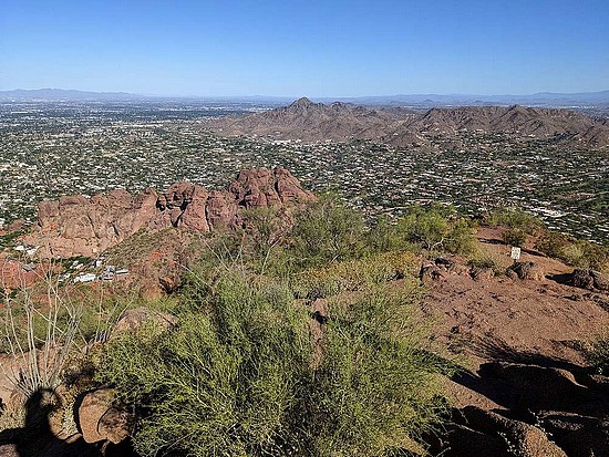
Once at the summit, the views of the Phoenix area were fantastic. But the Saturday morning crowds made it a total mad house. I took a break, snapped some photos, and enjoyed a snack. On the way down, I just retraced my path, passing scores of people on their way up. Round trip was around.5 miles and 1300’ of elevation gain in about 90 minutes. A neat hike, and highly recommended.
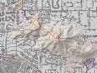
Map of the route, 2.5 miles and 1300' gain round trip. |
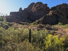
Start of the Echo Canyon route. |
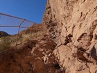
First steep section. |
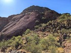
The trail heads up this steep gully. |
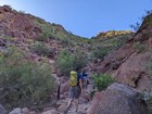
Scrambly section of the hike. |
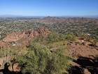
Camelback Mountain summit view. |
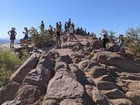
Not a lonely summit. |
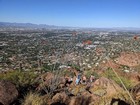
Time to head back down. |
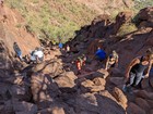
Descending the gully. |
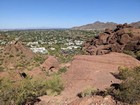
Almost back to the parking lot. |
|
|
|

