|
Brocky Peak
Elevation 11,839'
Brocky Peak is a monster of a mountain located in the Pioneer Mountains of central Idaho. Remote, rugged, intimidating, are all accurate descriptors of this giant peak. Brocky forms the highpoint of a long ridge that separates Wildhorse Canyon from the headwaters of the Little Lost River. Because of the remote location, Brocky is seldom seen other than from the summits of other mountains.
Brocky had been at the top of my wish list for quite a while, so when plans were set to climb the peak with Michael as part of multi-peak weekend, Brocky was the peak on our itinerary I was most looking forward to. After a big day climbing WCP-10, we made the long drive to the end of the road in Wildhorse Canyon, cooked some burgers on my little weber grill, and set up camp for the night.
It was 7:30am when we started heading up the trail, full of anticipation. After a mile of hiking on the old jeep road, the trail soon disappeared. This left us wandering through downed trees burned in the 2005 Wildhorse Fire, and tiptoeing through marshy areas.
After about 3 miles of slow hiking, we decided to head uphill toward the ridge. Michael had a route map from a normally reliable friend who showed the ascent route heading up the north side of the ridge that extends west from Pt. 11387’. Even though all other beta I remembered said to go on the south side of that ridge, we continued with optimism based on the route map we had in hand.
We followed various game trails up through the trees, which helped our progress. Once above treeline, we went up and over various ledges and slabs, then some boulder hopping until we reached the foot of the ridge around 11000’. There was no obvious route to gain the ridge, but we were committed at this point, so up we went. A sandy chute led us up to some boulders below a cliff face. We then traversed south in hopes of finding a weakness to lead us upward.
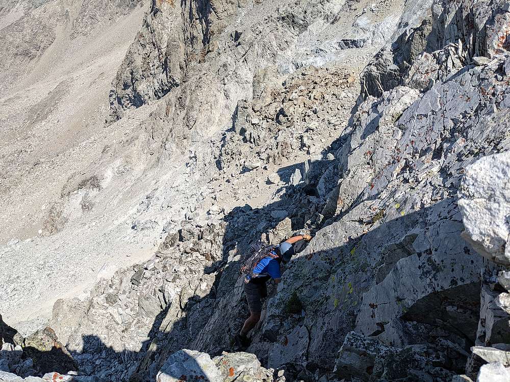
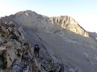
After exploring several upward lines up without success, Michael suggested we should head back down. But I wanted to check one last option, a ledge to our right with a rock the size of a large microwave blocking the route. But the rock was sitting precariously, and I was able to pry it loose and send it careening down the mountain. Once my nerves settled back down, I continued along the ledge, then up a chimney, and finally reached the ridgeline. Wow!
But euphoria was soon replaced with reality as we realized we were now a couple hours behind schedule. And adding insult to injury, the expected route from Pt 11387’ over to Brocky’s south face was guarded by cliffs. So we decided a lunch break was in order to take a deep breath and discuss our options. There was some discussion about heading back down. I told Michael that if we did that, then we’d just have to retry the climb tomorrow. Of course that didn’t sound too appealing.
So we decided to head south along the ridge in hopes of finding a way down to the east. After a couple hundred yards, we spotted what could be descent route. So down we went, over a few ledges, and then a long ramp that lead us down to the north until reaching the base of the ridge.
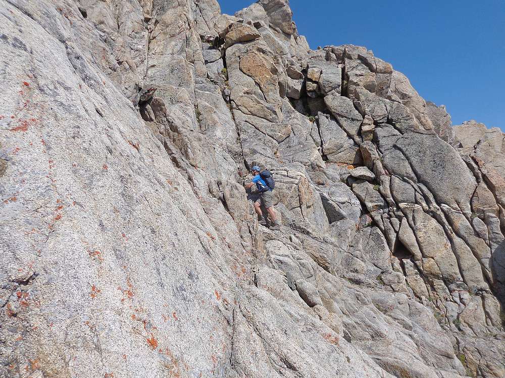
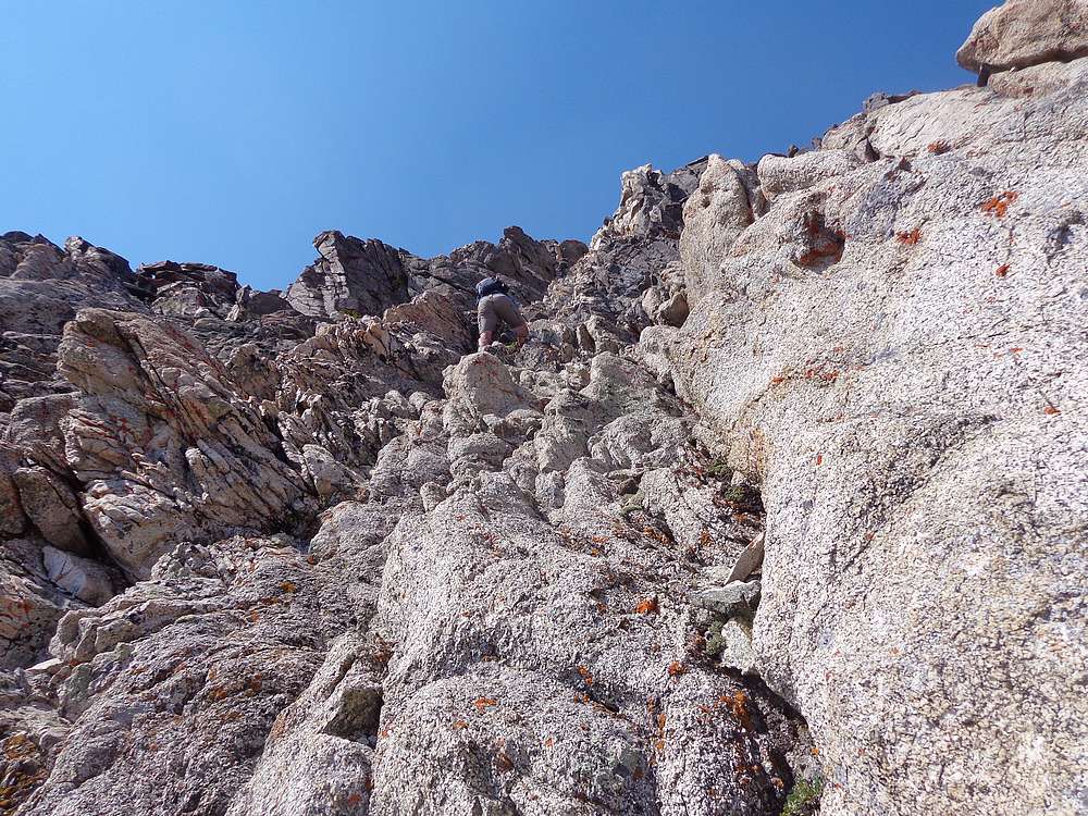
Now it was time to start heading up Brocky’s south face. The lower portion was a mix of granite slabs and occasional sand and talus. At around 11,500’ we started looking for ledges heading east. The route from here is convoluted and hard to describe, but we just followed our noses taking the path of least resistance up and around, across gullies, over ribs, then up the east face of the peak. Occasional class IV moves here and there, and we finally arrived on the summit ridge, and then to the highpoint. Wow, what a climb!
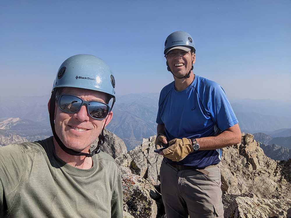
It felt amazing to be standing on the summit of this crazy peak. But our 4:30pm arrival time was much later than planned. We took a few photos, had a snack, and polished off the last of our water. It was time to head down. Retracing the route back around to the south face was no cakewalk, so it was a relief when we finally made it back to the 11,500’ spot high on the face.
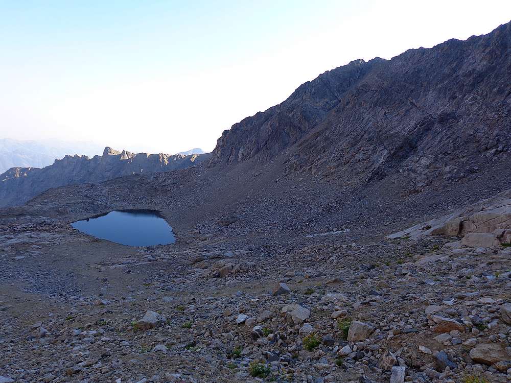
Since we were out of water, we had no choice but to drop all the way down to a small lake south of the peak to pump more and rehydrate. The break at the lake felt good, and we had the most challenging climbing completed. But now we had to do almost 500’ of climbing to regain the ridge to the west. Thankfully, that went smoothly.
Once on the ridge again, we decided on a direct decent down the talus field toward the headwaters of the Left Fork Wildhorse Creek. The talus made for slow going, but not too bad overall. On the way down, we watched the sun sink behind the ridge to the west. We made it to treeline about the time dark set in around 8pm, at which point we donned headlamps. Due to a combination of darkness, fatigue, and challenging tailless terrain, it took us another 3+ hours of hiking in the dark before we made it back to the trailhead.
Brocky Peak was an unforgettable and epic adventure! This giant of a mountain included 12 miles traveled, class IV climbing, and 5000’ of elevation gain, in a whopping 16 hours! We figured our route selection cost us at least 3 hours extra, but it would have been a long day regardless. No doubt we’ll be telling the stories about this one for years to come.
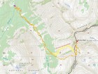
Map of the route, 12 miles and 5000' gain round trip. |
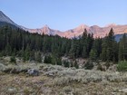
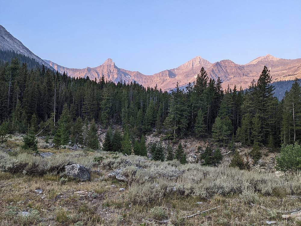
Wildhorse Creek sunrise on Old Hyndman and Hyndman Peaks. |
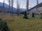
Hiking in, trail gone, deadfall and bushwhacking in our future. |
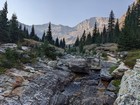
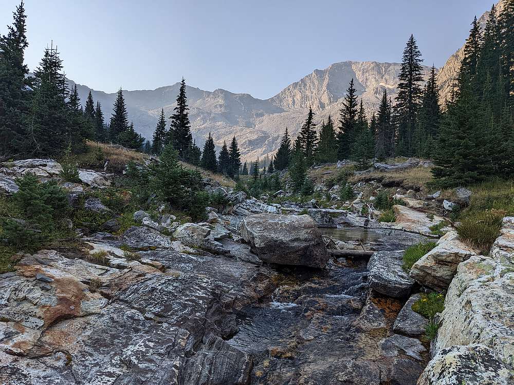
Left Fork Wildhorse Creek. |
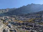
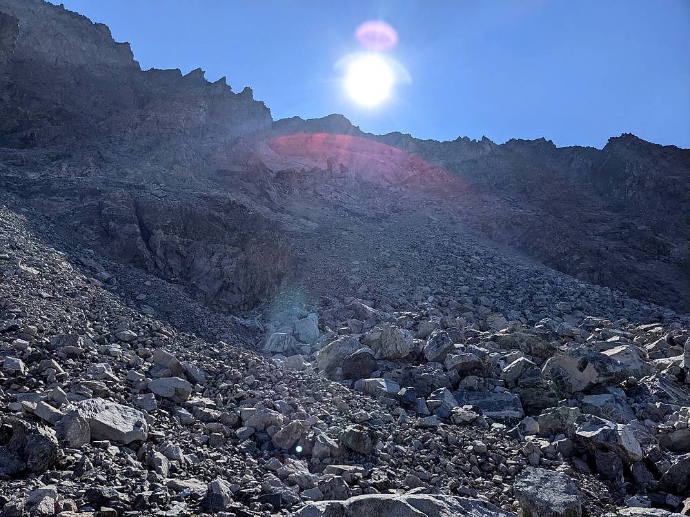
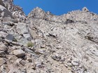
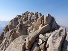
Making our way up into no-man's land… |

There must be a route up there someplace. Right? |
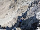
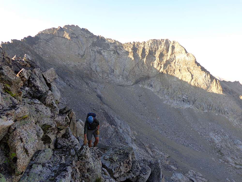
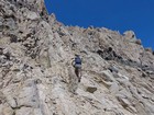
Ledge traverse just before cresting the west ridge. |
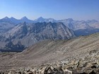
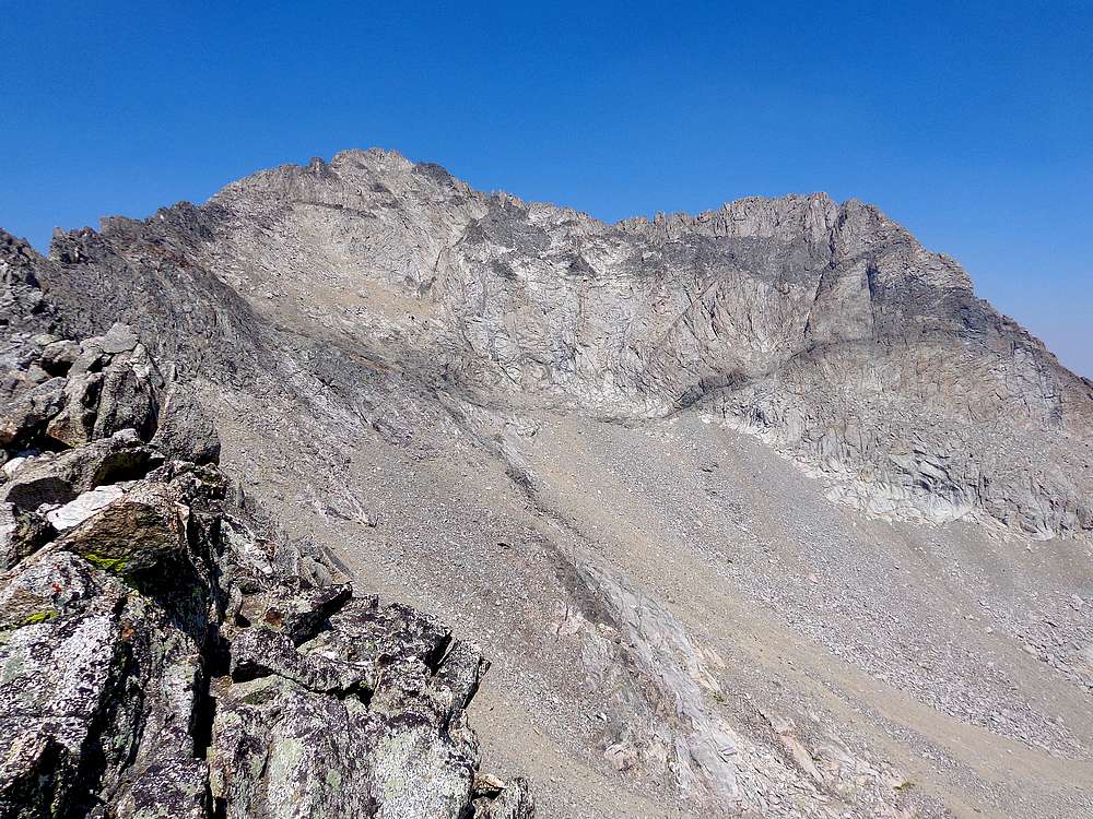
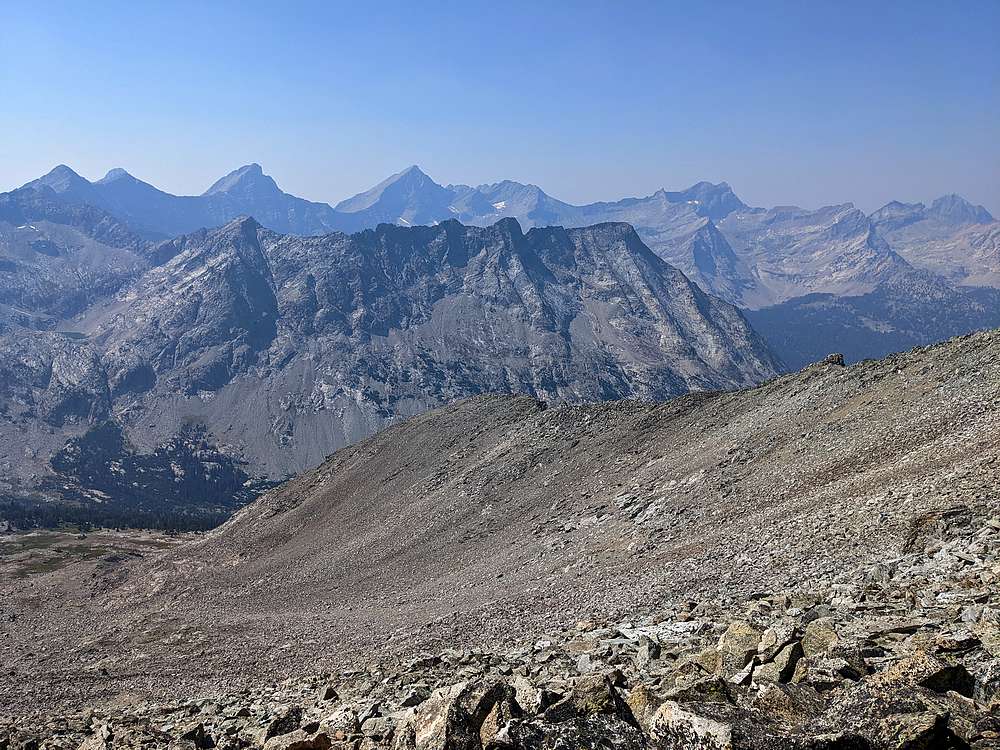
Howard Peak, the main Pioneer Crest in the background, and the talus field we should have climbed, below. |
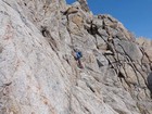
Heading up the south face of Brocky Peak. |
Michael crossing over toward the black rock stripe. |
Pondering the best way up a steep section. |

Steep climbing on the south face of Brocky Peak. |
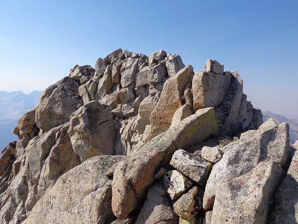
The summit of Brocky Peak comes into view. |
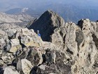
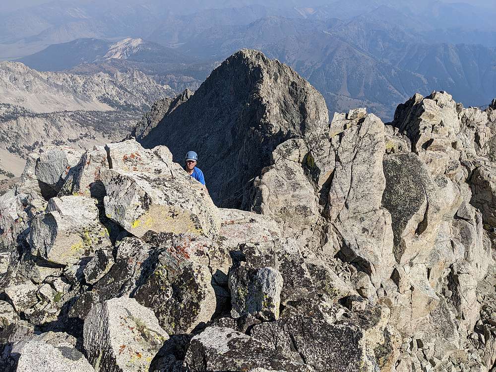
Nearing the summit. |
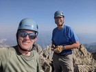
Victory shot on the summit of Brocky Peak. |
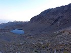
We were out of water and descended to the small lake to pump more. |
Climbing back up and over the south ridge. |
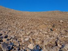
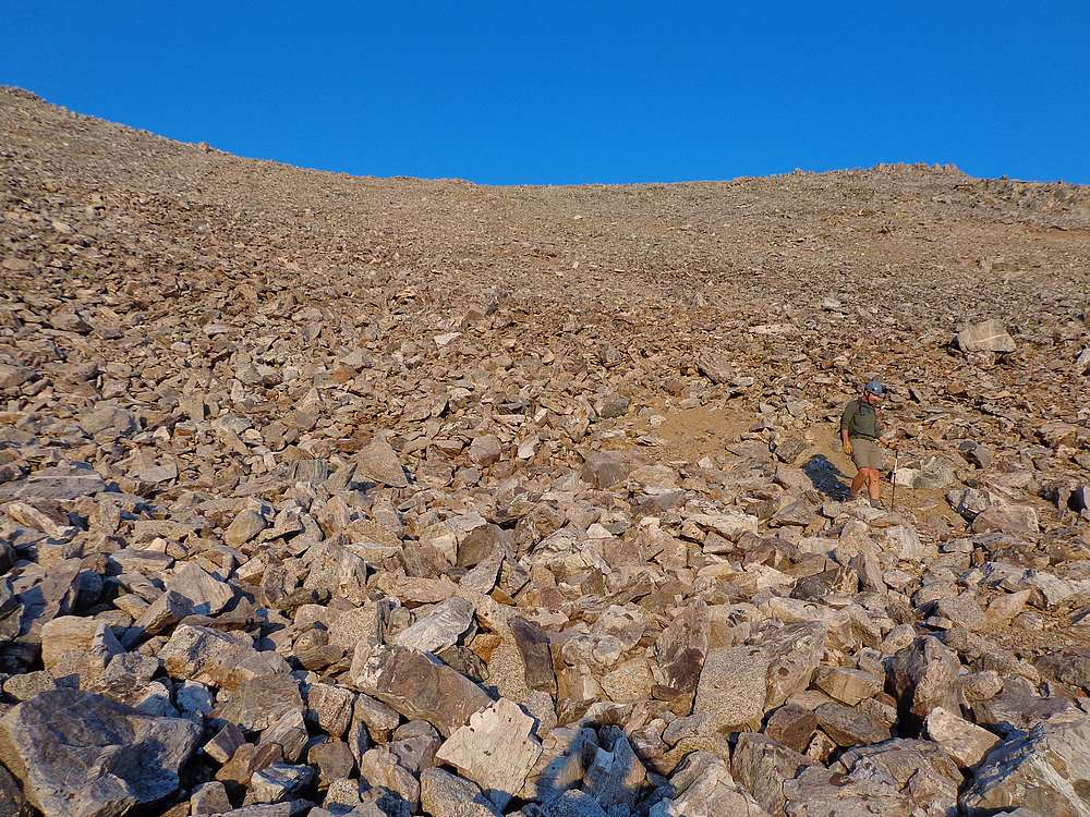
Descending the talus field. |
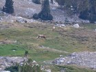
Close-up of some elk we spotted below us. |
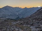
Pioneer sunset, and we still have a few hours of hiking left. |
|
|
|