|
Mount Taylor
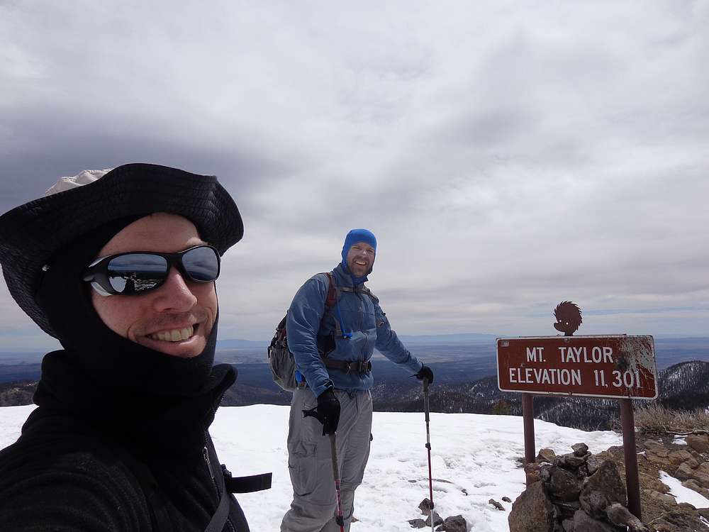
Mount Taylor is located in the northwest New Mexico, west of Albuquerque. It is an extinct volcano and the highpoint of the North San Mateo Mountains. It rises out of the surrounding desert terrain to an elevation of 11,301’, and boasts over 4000’ of prominence. Needless to say the summit views are outstanding.
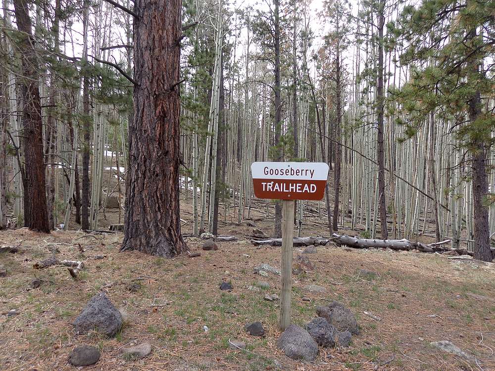
Michael had come up with a great itinerary for our New Mexico & Texas peak bagging trip. After a great day exploring Big Bend National Park, we made it as far north as Truth or Consequences the night before, and then finished the drive the to the Gooseberry Springs trailhead in the morning. When scouting out options for the trip, it wasn’t clear how much snow we’d encounter along the way, but fortunately we made it to the trailhead without issue.
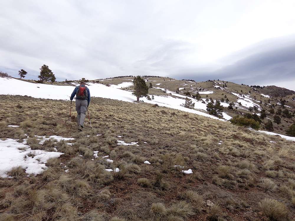
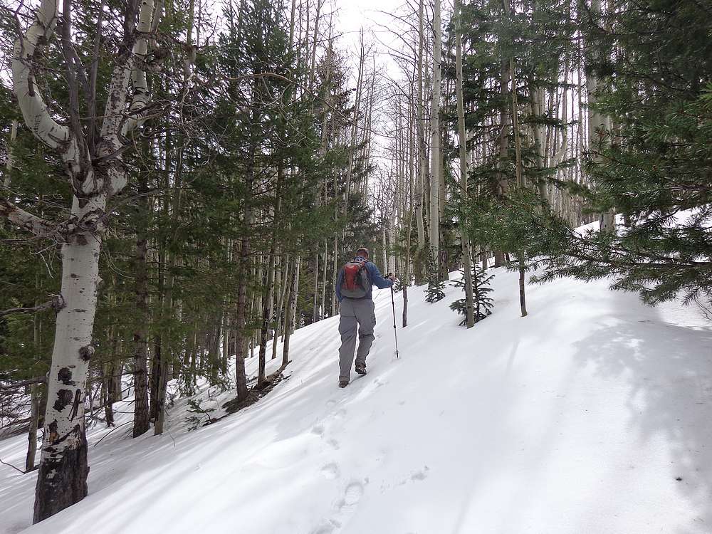
It was a beautiful spring morning as we started our hike from Gooseberry Springs trailhead. The shady trail was pleasant and snow free for the first mile, but was snow-covered from then on. It was fairy supportive with only occasional post-holing. But we spied snow free slopes on the other side of the creek and decided to leave the trail and go cross country.
After leaving the trail, we headed up what could be described as the southwest ridge. Minimal snow to deal with, and not too steep. It was breezy though, so a lone pine tree was a welcome break from the wind. After a short break, we climbed up a bit to rejoin the trail and were on the summit not long after.
We could see a long way from the summit of Mount Taylor, and it was a great place for a lunch break. Since it was still pretty early, it didn’t take much coaxing to talk Michael into continuing on to La Mosca Lookout Peak, an 11er not far to the northeast.
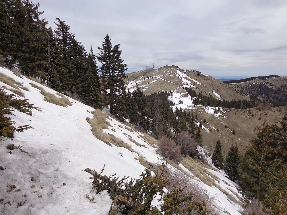
We descended the north side of Mount Taylor, following some snowshoe tracks that wound down through the trees. The most adventurous part of the descent was some snowy side-hilling down to the saddle. From there it was just a road-hike to the summit of La Mosca.
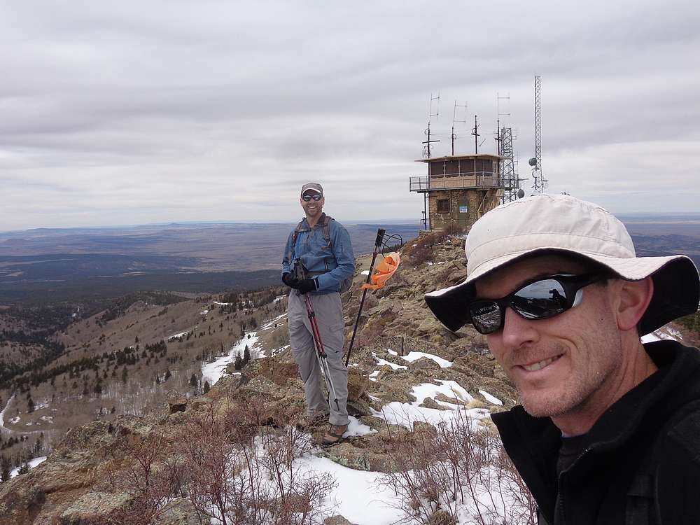
The summit of La Mosca is adorned with numerous communication towers and a fire lookout. The lookout was closed for winter, so we couldn’t access the deck, but the views were still great. On the way down, we took a more direct descent instead of the road that wraps around the peak.
Once back at the saddle, we took a FS road that wraps around the west side of Taylor. It was snow covered, but some snowmobile tracks from earlier in the winter made a firm enough base to prevent post-holing. We lucked out and it lead us to open slopes on the southwest side of Taylor. Next we contoured back around to the ridge we’d climbed and then back down to the trailhead.
Mount Taylor had been a great way to finish of our trip. Round trip of 8.5 miles, 2900’ elevation gain, in 5.5 hours. It had been an excellent long-weekend of hiking in Texas and New Mexico. I really enjoyed the trip and exploring some unique terrain.

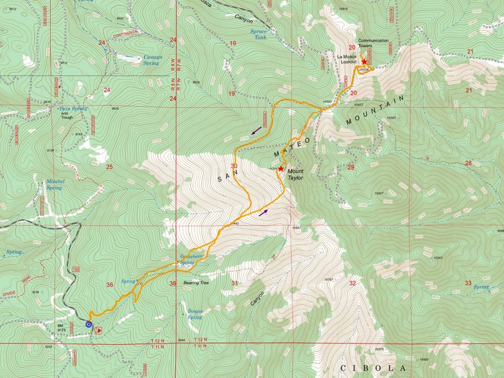
Map of the route, 8 miles and 2900' gain round trip. |

Gooseberry Trailhead. |
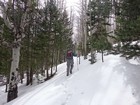
Trying to follow the snow covered trail. |
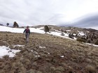
Open slopes after we left the trail. |
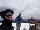
Styling on the summit of Mount Taylor. |
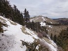
Side-hilling toward La Mosca. |
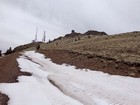
Approaching La Mosca Lookout Peak. |
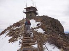
Nearing the La Mosca lookout. |
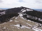
View of Mount Taylor from La Mosca. |
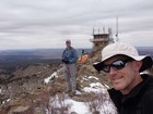
La Mosca summit shot. |
|
|
|