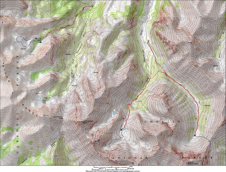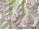
Overview map of the area.
|
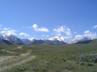
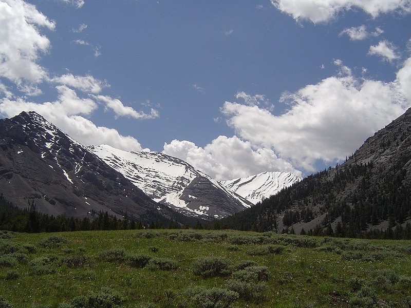
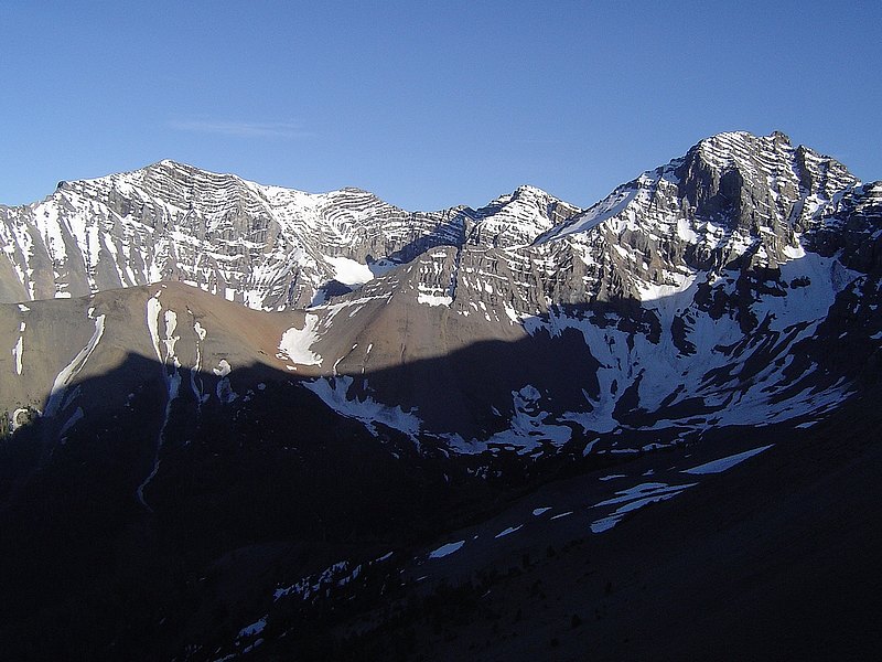
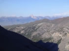
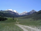
A view of "the backside" of the Lost River Range from the drive in.
|

Mount Church from near the East Fork Pahsimeroi River trail head.
|

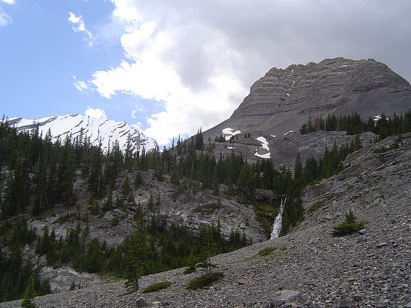
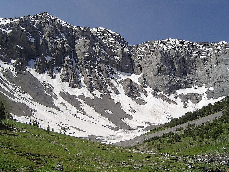
Waterfall at the base of Bad Rock Peak.
|
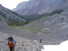
Making the final climb up to Lake 9682'.
|

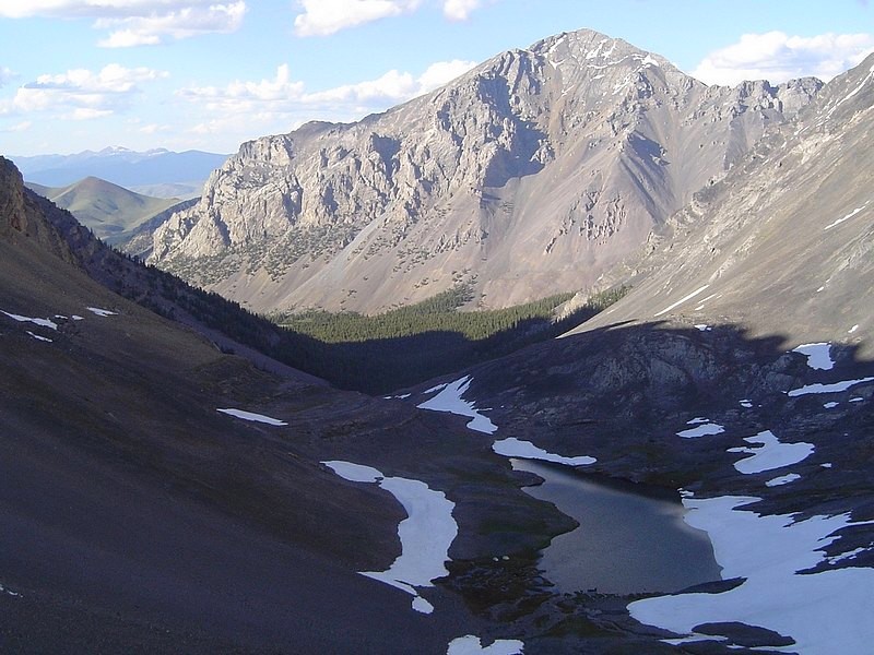
View down to Lake 9682' and our campsite. Mount Corruption is in the background.
|
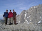
Jordan, JJ, and I at the Lake 9682' campsite with Mt Church as a backdrop.
|
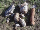
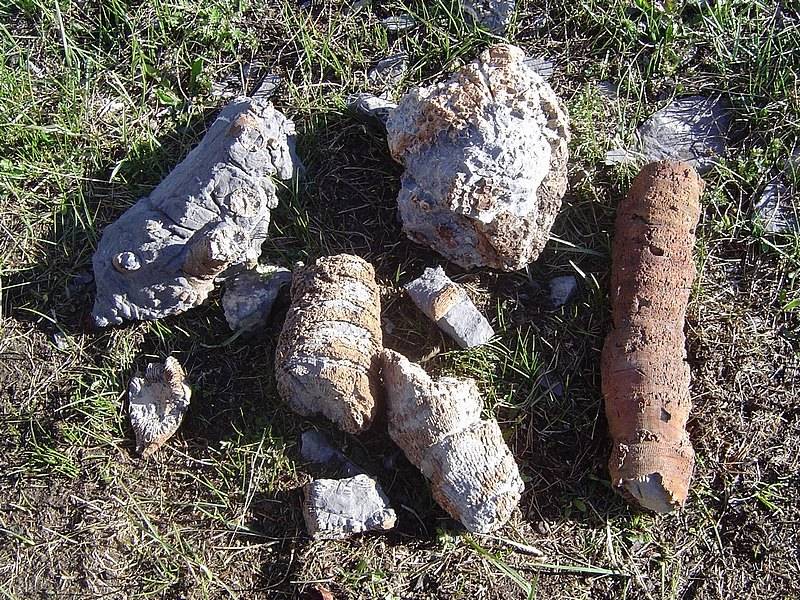
A sampling of the fossils seen in the area. Most seem to be coming from Bad Rock Peak.
|
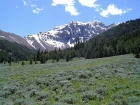
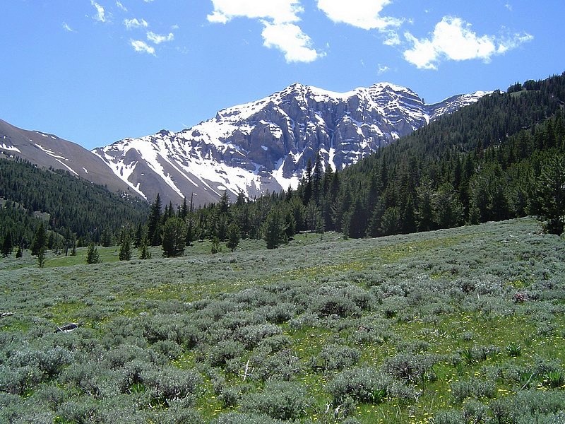
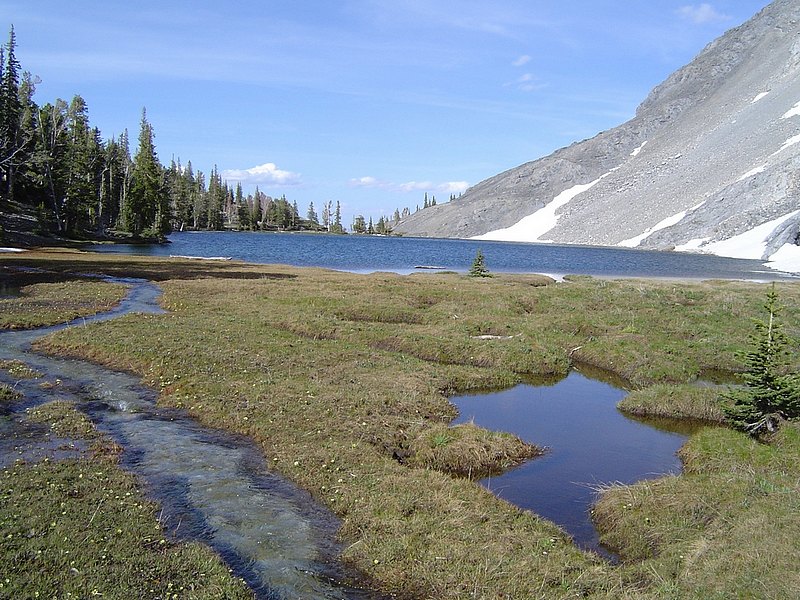
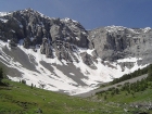
The approach to Mount Breitenbach's north side passes through this gorgeous meadow.
|
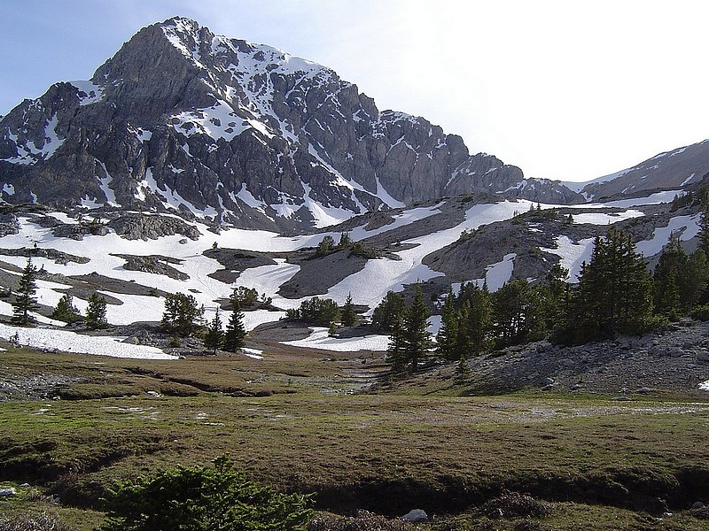
We climbed up to Dry Creek Pass (Breitenbach Divide). This is a view of Bell Mountain in the Lemhi's.
|
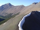
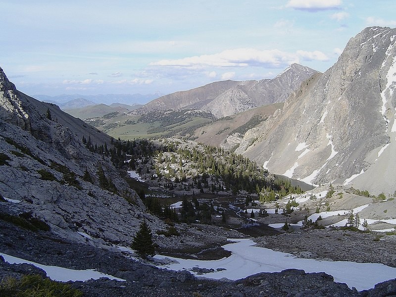
A view back towards the trailhead from Dry Creek Pass and abundant scree on Mount Corruption. I'm the small speck on the ridge to the right (photo taken by Jordan).
|

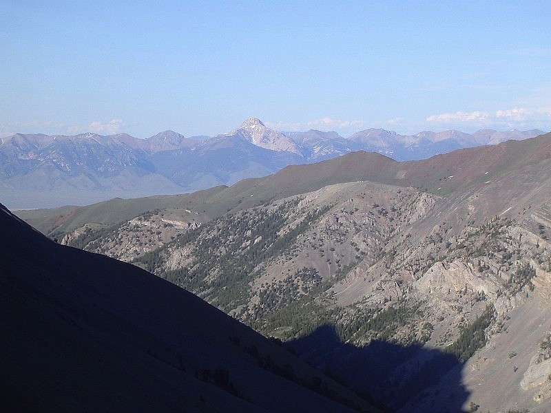
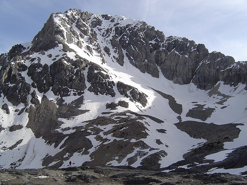
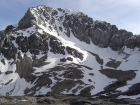
This is the north side of Lost River Peak, as seen from Dry Creek Pass.
|

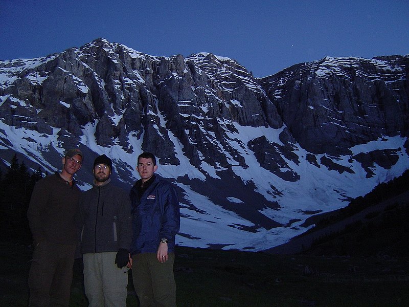
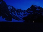
Here we are messing around with the night settings on the camera. Breitenbach's North Face is behind us.
|
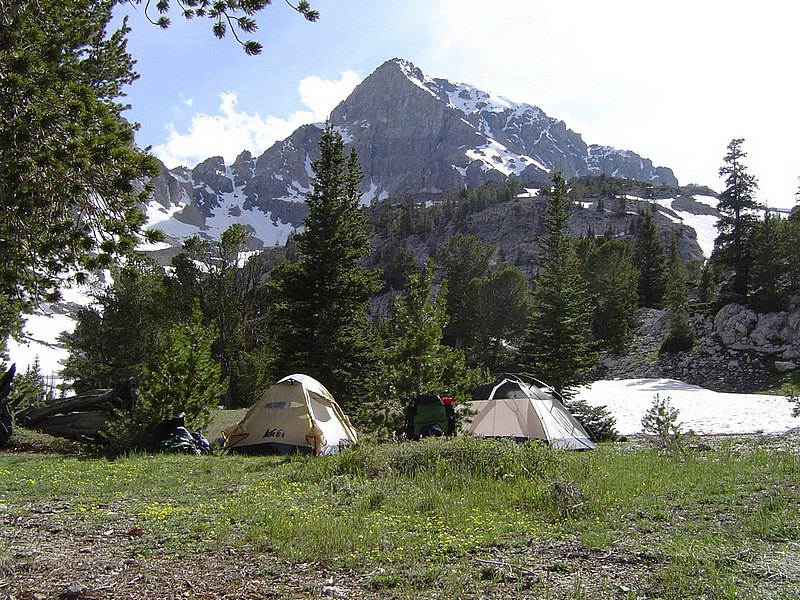
The massive North Face of Mount Breitenbach made an awesome backdrop for our campsite.
|
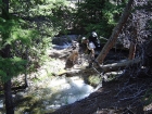
JJ crossing a log near the East Fork Pahsimeroi trailhead.
|
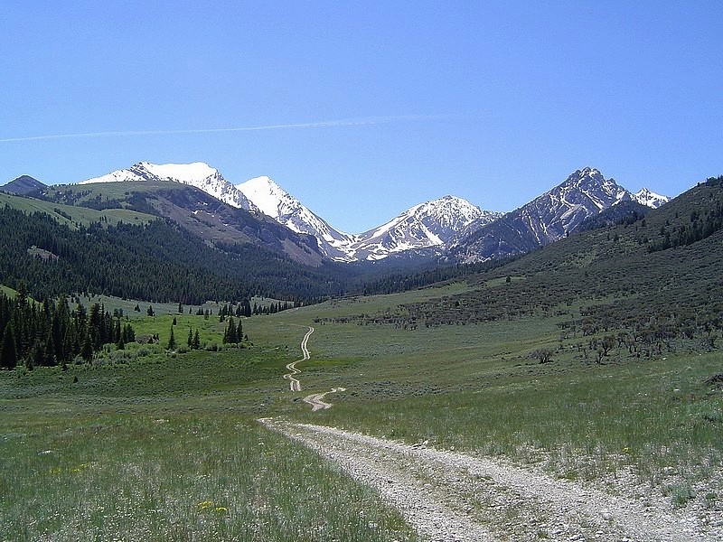
Leatherman Pass from the road leading to the West Fork Pahsimeroi River trailhead.
|
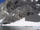
Jordan fishing on the snowy shore of Merriam Lake.
|

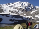
Our campsite at Merriam Lake with Mount Idaho behind.
|
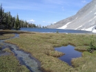
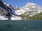
Looking across Merriam Lake from the inlet.
|
The climb to Upper Merriam Lake involves crossing some "tundra". Mount Idaho is in the background.
|
Group shot taken near Upper Merriam Lake.
|
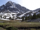
JJ standing below 12065' Mount Idaho.
|

The view back down on the "tundra" area and Merriam Lake. Bell Mountain and the Lemhi's also visible.
|
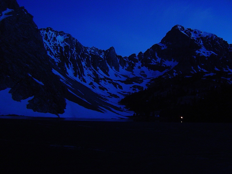
Night shot of Merriam Lake, Mount Idaho, and our campfire.
|
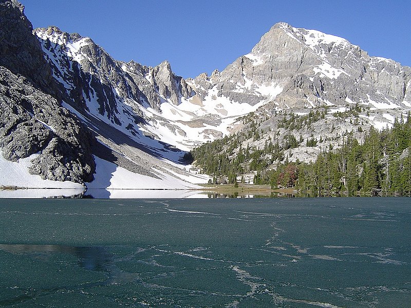
Partially frozen Merriam Lake in the morning.
|