|
Tripod Peak
Tripod Peak
Tripod Peak anchors the southern end of central Idaho’s West Mountains. It’s located not far from Blue Lake, one of the more popular hiking destinations in the area. I decided the most of it and try combining both into the same outing. Maybe even a quick stop to tag nearby Granite Peak if time allowed.
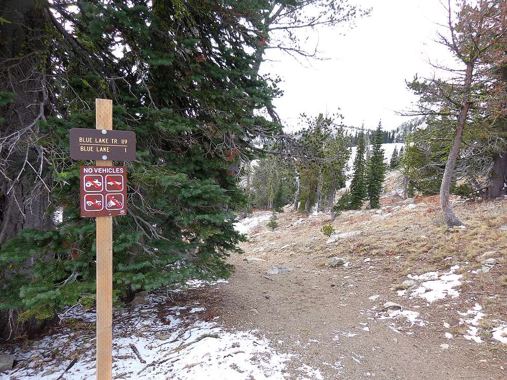
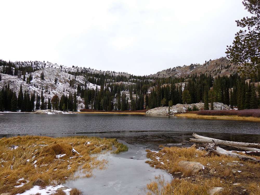
The Blue Lake trailhead is located on Snowbank Mountain Road, just over two hours from Boise. (Or less than an hour from my friend’s place in Donnelly.) I made the quick descent from the trailhead down to Blue Lake. There was already patchy snow on the ground in places, and the lake was just starting to freeze over for the winter.
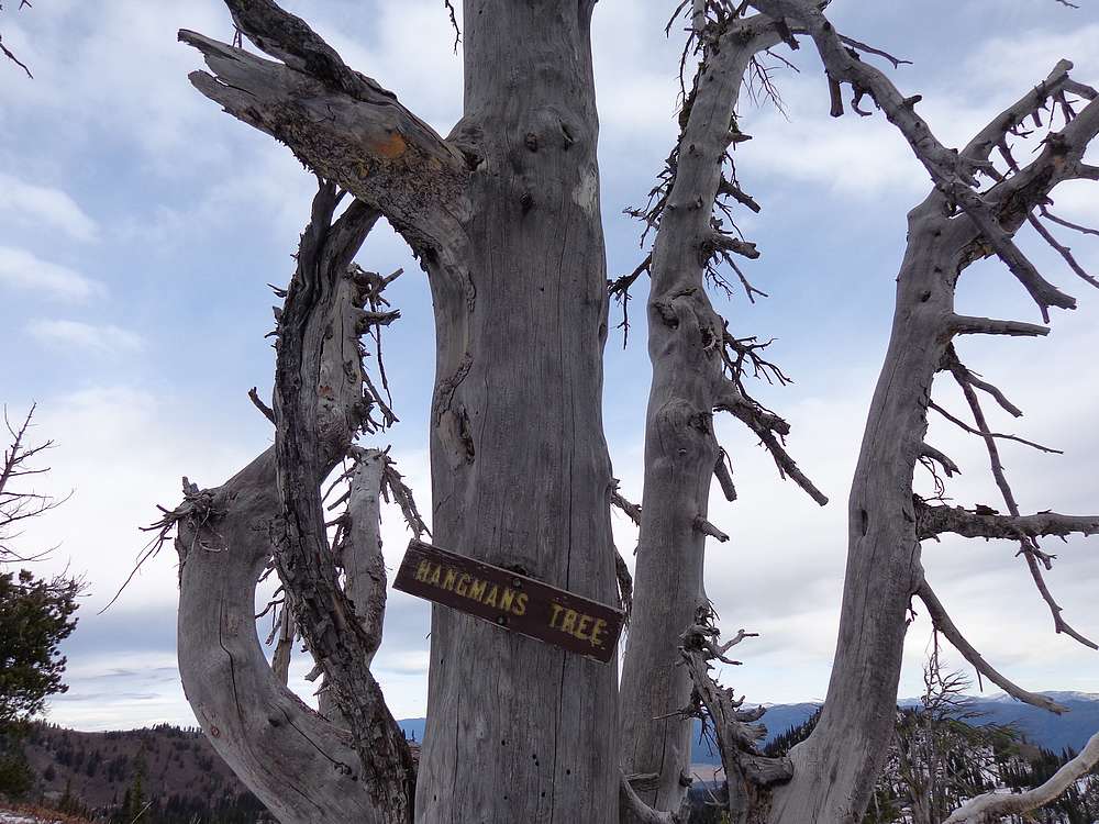
I skirted around the east side of Blue Lake, and then headed cross-country around the east side of Pt 8009’ until I reached the saddle further south. There was some boulder hopping along the way, but not too bad. Once at the saddle, marked on some maps as “Hangman’s Tree”, I found the trail. It was covered in a couple inches of snow in most places, but still easy to follow.
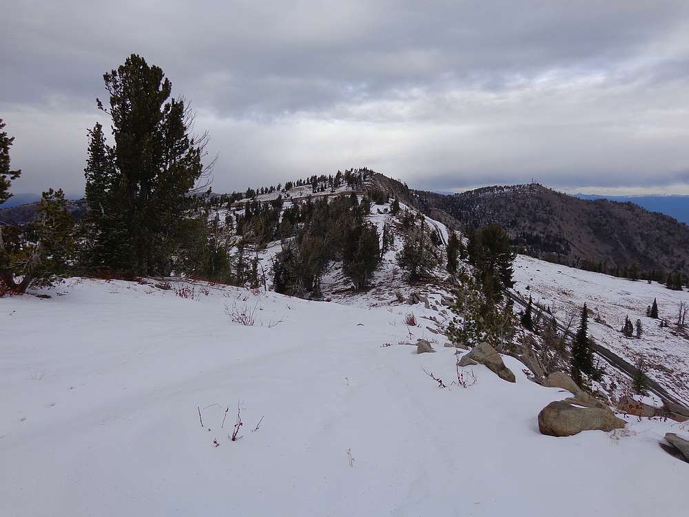
The trail contoured across the hillside, with the lookout building in view most of the way. I stayed on the trail until I was just northwest of the summit, then angled up the hill to the ridge, and followed the ridge to the summit.
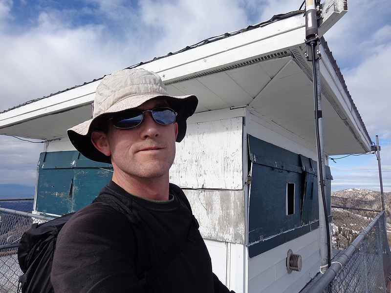
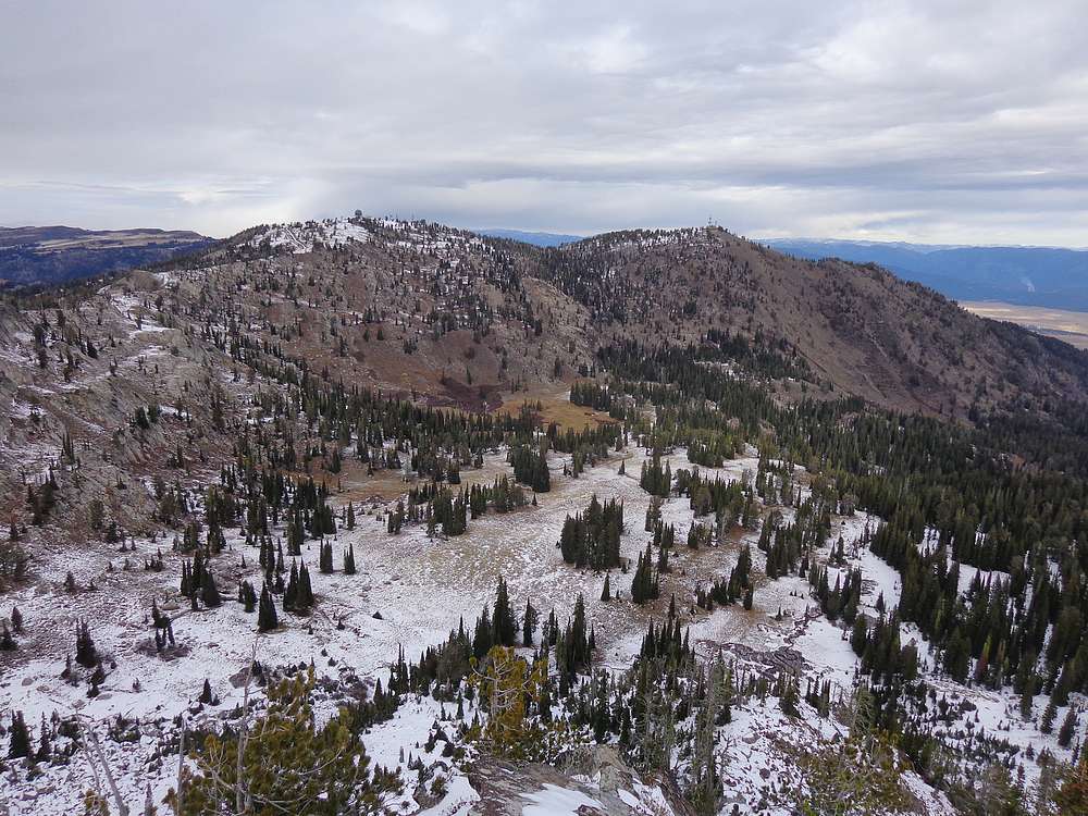
Views from the summit were great, and I circled around the deck of the lookout taking in the scenery. It took me about an hour and fifteen minutes to reach the summit, just under three miles of hiking. After snapping several photos, I retraced my path back to the Hangman’s Tree saddle.
Once back at the saddle, I continued on the trail heading northwest and then north along the ridge. The clouds were starting to roll in at this point, and there was even some light snow falling. But I still had some good views looking down on Blue Lake. I could also see Granite Peak in front of me. It wasn’t particularly impressive, but it was too close not to cross the road and tag the summit.
From Granite Peak, I had a great view of Snowbank Mountain. After a short rest, I headed downhill off the west face of the peak and then hiked mostly cross-country back to the trailhead. Round trip was just over 3 hours.
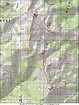
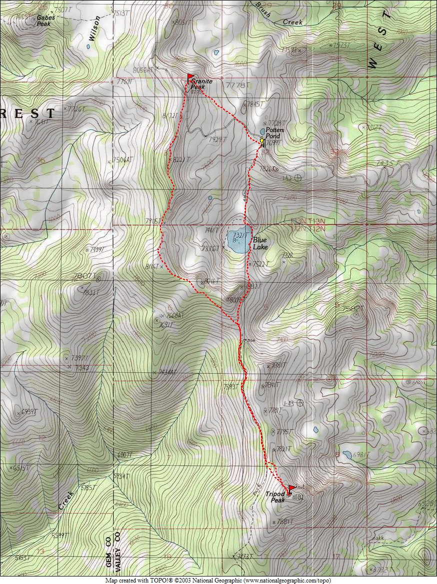
Map of my route, 7 miles and 1800' elevation gain round trip. I went clockwise. |
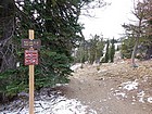
Blue Lake Trailhead. |
First view of Blue Lake, nestled down in the trees. Tripod Peak in the distance. |
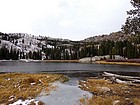
Blue Lake, already starting to freeze over for winter. |
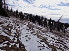
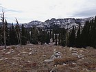
On the trail heading south from Hangman Tree. |
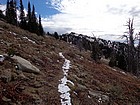
Tripod Lookout coming into view. |

Me on the fire lookout atop Tripod Peak. |
The view north from Tripod Peak includes Granite Peak and Snowbank Mountain. |
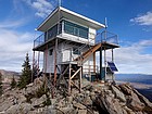
Tripod Peak Lookout. |
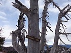
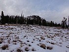
Shot of Hangmans Tree on the way back. |
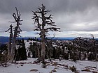
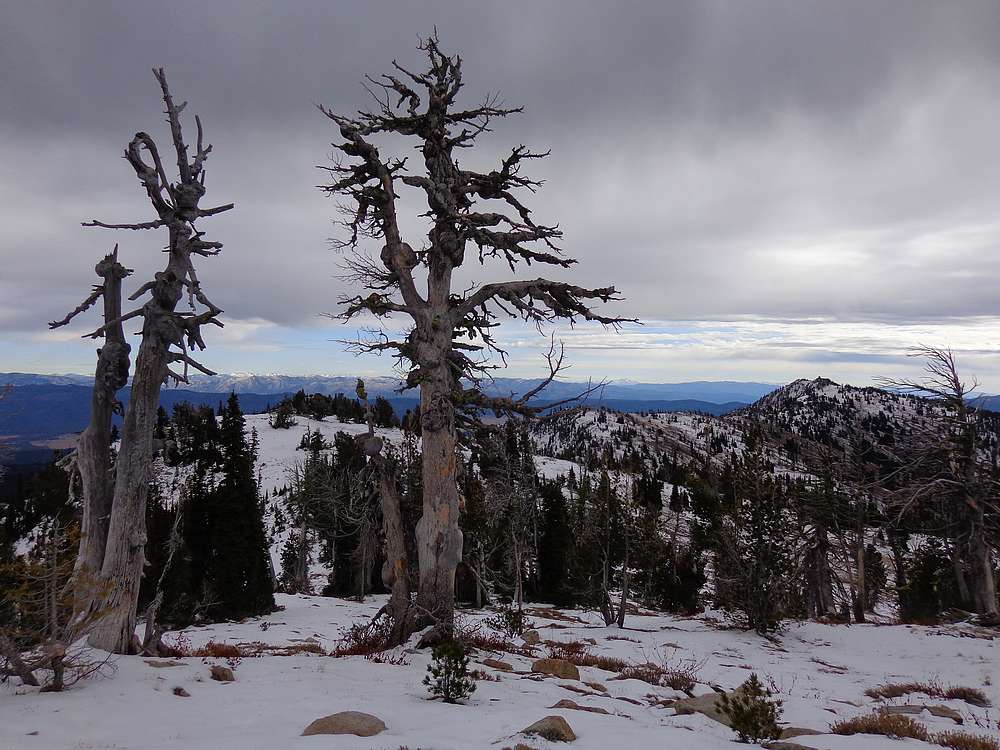
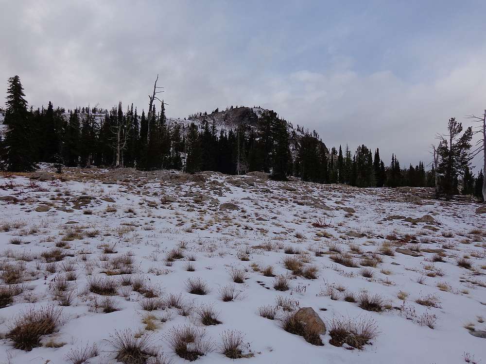
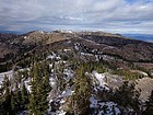
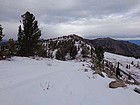
Gnarly trees near Pt 8116', Tripod in the distance. |
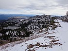
Blue Lake from the ridge, Tripod in the distance. |
Approaching Granite Peak. |

Snowbank Mountain from the summit of Granite Peak. |
Looking back on the east face of Granite Peak. |
 |
|