|
Shafer Butte
Shafer Butte
Elevation 7582'
Shafer Butte is the highest mountain on the Boise front range, and is located within the Bogus Basin Recreation area. It is also the 38th most prominent peak in Idaho. With 2702 feet of prominence, it has great views, and is visible from many other mountains in all directions. So visible in fact that Shafer Butte was one of the base triangulation points used in surveying much of Idaho back in the early 1900’s. Today, Shafer Butte is popular for skiing in the winter, along with hiking and mountain biking in the summer and autumn. There are over 30 miles of trails on and around Shafer Butte.
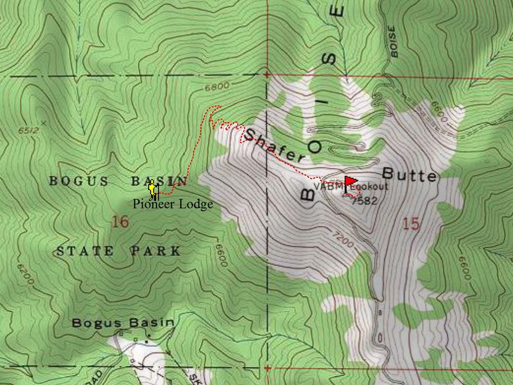
My family and I decided to climb Shafer Butte for our annual Father’s Day hike. There are several routes to the summit, but we chose probably the easiest one, the Tempest Trail starting from Pioneer Lodge. This is a family friendly route, only three miles round trip with 850 feet of elevation gain.
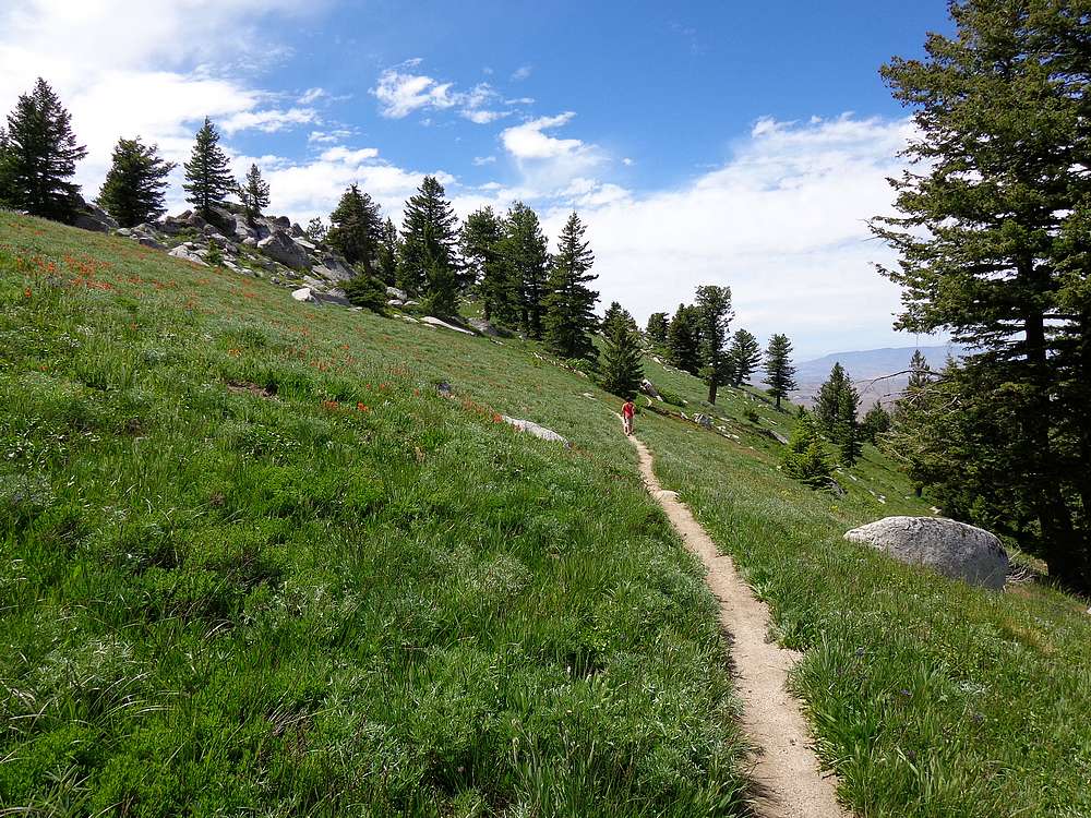
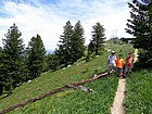
After lubing up with sunscreen for the sunny hike, we crossed the old tennis courts behind the lodge, and then got on an old road leading uphill to the northeast. After about a half mile dodging mountain bikes, we hung a right onto the Tempest Trail #95. Once on this nice single track trail, we made our way switch backing up through the wildflower covered slopes, passing through occasional short sections of pine trees.
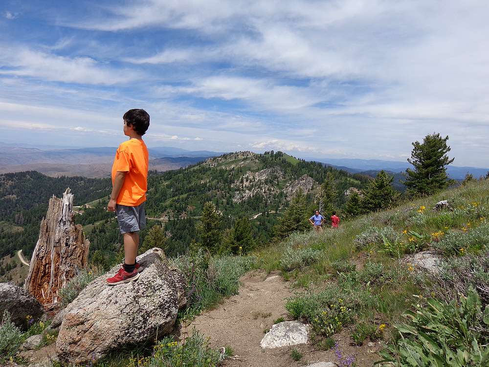
The higher we got, the more plentiful the wildflowers became. The display culminated in huge patch of Indian Paintbrush in a big meadow just before the trail got to the Superior Lift. The trail ended at the lift, and from there we walked the service road up to the summit.
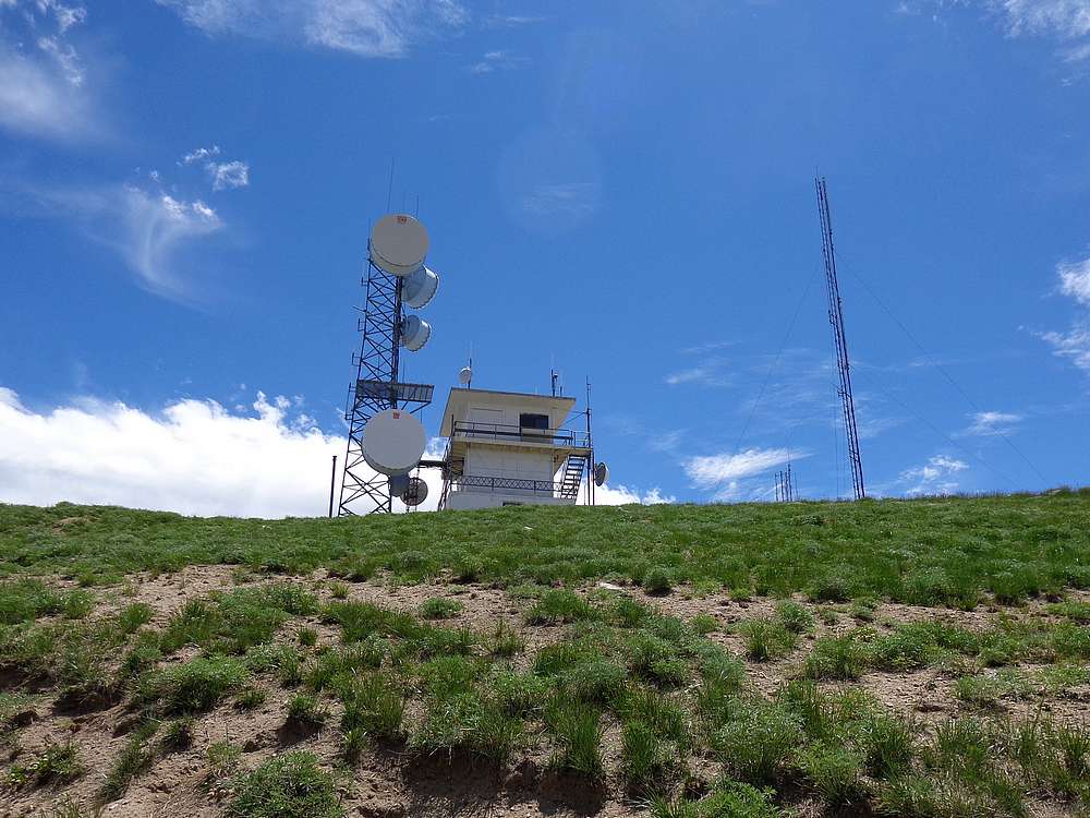
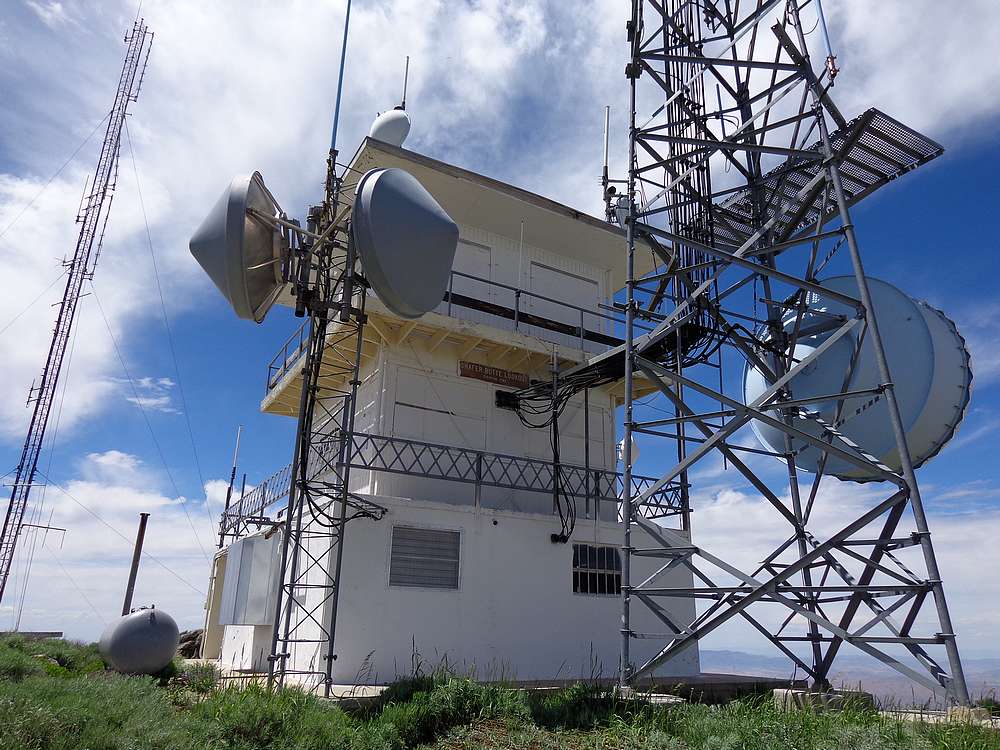
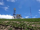
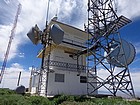
The summit of Shafer Butte is adorned with communication equipment and an old fire lookout. We explored the summit for a while, and then climbed up onto the deck of the fire lookout for some photos. It was a beautiful day and I was in no hurry to head down, but the boys knew there was ice cream in store for them later, so it was time to go. We briefly debated taking a different way down, but the Tempest Trail had been so nice on the way up that we decided to retrace our same path on the way back down.

Map of our route up the Tempest Trail, 3 miles round trip and 850' gain. |
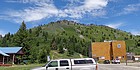
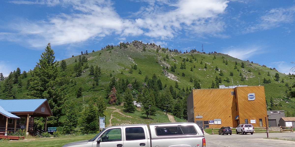
Shafer Butte from the Pioneer Lodge parking lot. |
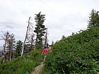
Heading up the Tempest Trail. |
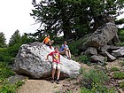
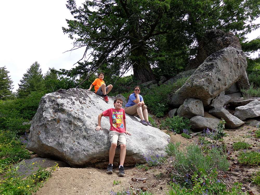
Taking a break on the way up. |
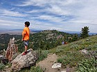
Checking out the views, Mores Mountain in the background. |
Stopping to pose in the paintbrush. |
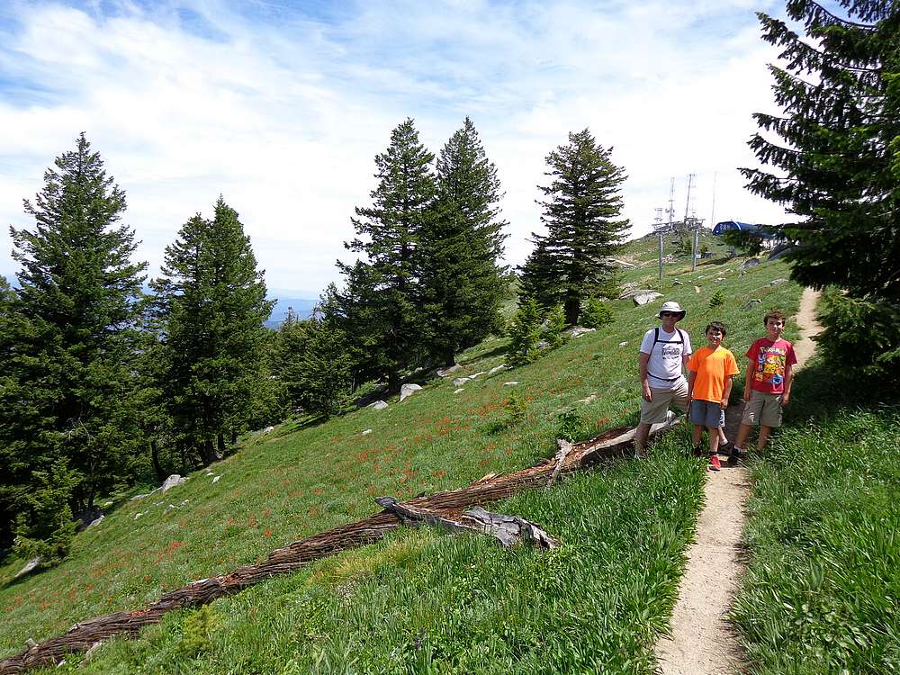
Nearing the summit. |
Shafer Butte Lookout tower. |
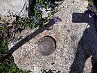
Summit marker placed in 1915. |
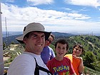
Group shot from the lookout. |
 |
|