|
Mount Jordan & The General
Mount Jordan & The General
|
Related Links:
- IdahoSummits Trip Report
- Alex Feldman Photos
- Trailhead Location
- Our GPS Tracks
- Hillmap of our route
- Mount Jordan: TL, SP, PB, LOJ, Map
- The General: TL, SP, PB, LOJ, Map
- Tango View Peak: TL, LOJ, Map
- Lightning Peak: LOJ, Map
|
The Salmon River Mountains are a vast collection of ranges in central Idaho. One under appreciated area within the range is a section Tom Lopez refers to as the ‘Southeast Corner Peaks’. This group of peaks is located north of Stanley, and is just outside of the wilderness area. There are many attractive peaks in the group, including Mount Jordan and The General, our main objectives for the day. The trailhead for these is on Jordan Creek, about an hour northeast of Stanley.
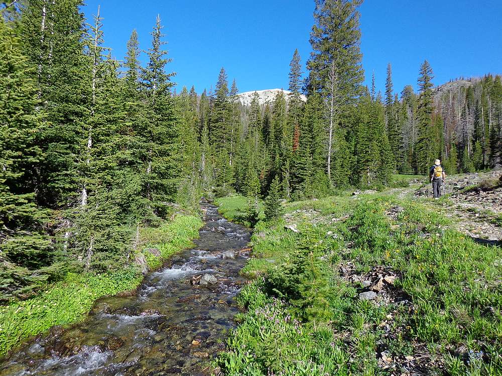
Michael and I left Boise by 5am and met up with Pat and Alex at the 7600’ trailhead on Jordan Creek. We were on our feet and hiking by about 8:30. We may have been able to drive further, but the creek crossing looked a little sketchy. It was a beautiful morning, and we were all looking forward to exploring some new terrain. After hiking along the old jeep road for about 2 miles, we headed cross-country at about 9000’, aiming for the east ridge of our first objective, Mount Jordan. We gained the ridge at about 9600’, then made the straightforward climb to the summit.
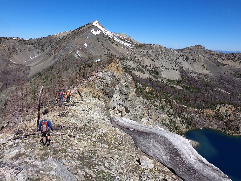
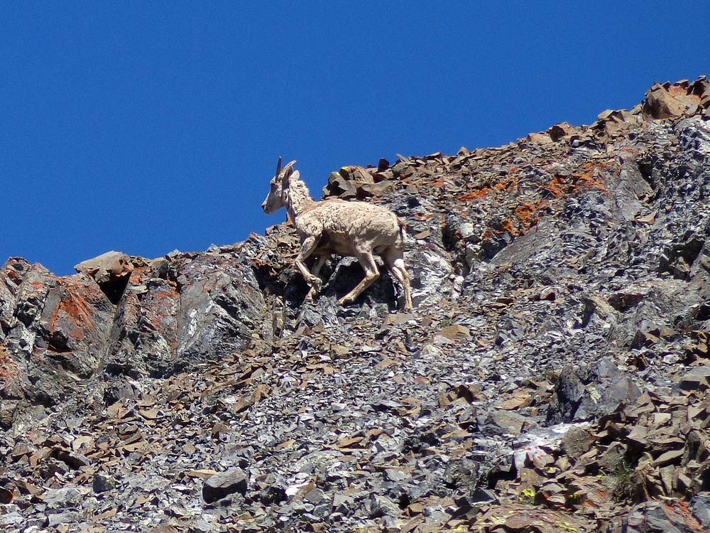
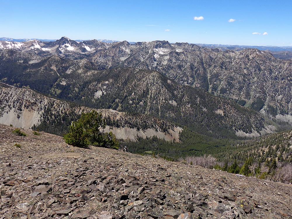
From the summit of Mount Jordan, we soaked in some amazing views. This position gave us a unique view of numerous mountain ranges, including the Sawtooths, White Clouds, Boulder, Pioneers, Lost Rivers, and of course the vast Salmon River Mountains. We also had a good look at the connecting ridge to our next peak The General. It took us about 90 minutes to cover the 1.5 miles between the two peaks. It was a great ridge walk. The only thing that slowed our progress was the great views, and a brief bighorn sheep sighting.
Once on the summit of The General, we stopped for lunch and discussed our options. Naturally, I was pressing to add in at least one other peak. So after a bit of discussion, we decided to continue on toward Peak 10006’ (Tango View Peak). From there we figured we could loop back to the trailhead via Lightning Lake and its surrounding burn area.
From The General, we descended the southwest ridge to the 9090’ saddle, then made our way up “Tango View Peak”. It was a little loose in places, but not too bad. Our pace was steady, and again we covered 1.5 miles from The General to Tango View Peak in about 90 minutes. From the summit, we had great views of the rugged and seldom visited Tango Ridge Peaks, highlighted by Cabin Creek Peak. It was an impressive group of peaks, and we were in a unique position to see them. Hence the nickname I gave this peak.
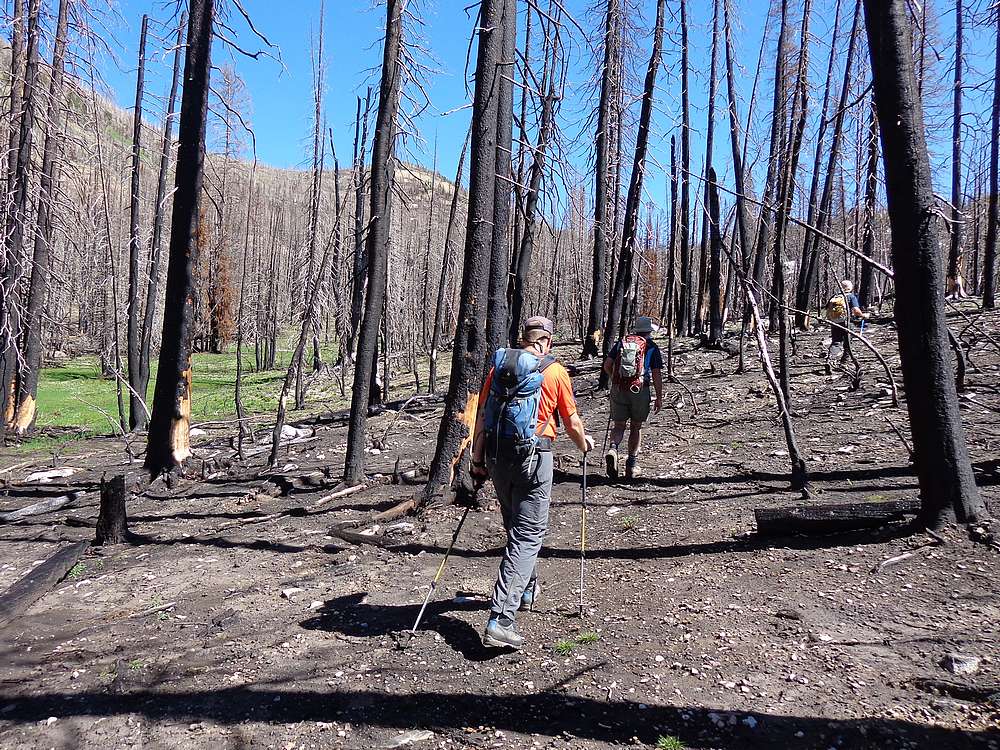
After an extended stay on the summit, it was time to head down. We dropped back to the saddle, and then went east through the burn area. It was cross-country at first, and then we met up with the faint trail about halfway between the saddle and Lightning Lake. From there, the trail faded in and out. It wasn’t getting much human traffic, but we did see some pretty fresh black bear claw marks on a fir tree near the trail.
At Lightning Lake, we headed uphill to the northeast, then picked up the faint trail curling around to the 9200’ saddle. At this point, I headed cross-country to the southwest to bag a forth peak of the day. The rest of the guys weren’t as motivated for an obscure unnamed peak, so they continued on along the trail while I made a quick dash up Peak 9628’ (Lightning Peak). It was a straightforward hike to the summit, where I was rewarded with great views of the Sawtooths as well as the other three peaks we’d climbed earlier. Then I hustled back to the 9200’ saddle. Round trip time was only about a half hour.
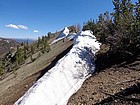
The final uphill of the day led me to the 9500’ saddle above Jordan Creek. Even though it was an incredibly low snow year, there was still a pretty good sized cornice to deal with. I found where the others had crossed, and then started my way down the trail through the talus. The others were waiting for me at the bottom, and we all hiked together along the jeep trail back to the trailhead.
After 10 hours of hiking, we made it back to our vehicles tired but very satisfied. It had been a great day with a fun group. The peaks were very nice on their own rights, but probably the best part was getting to see familiar peaks in surrounding ranges from a new angle. I highly recommend checking out this area.
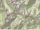
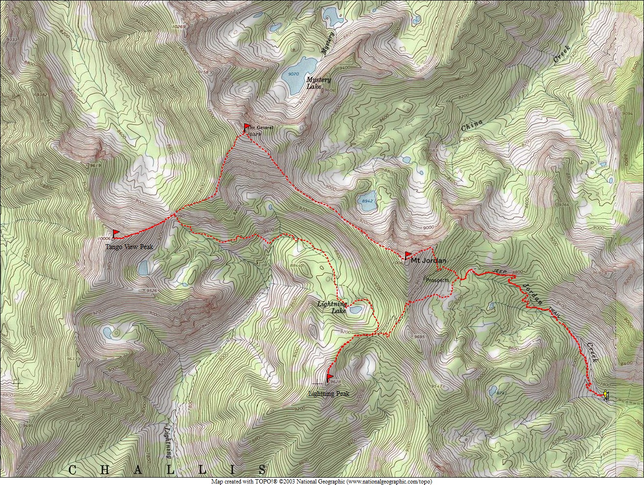
Map of our route, 13 miles and 5800' gain. We went counter clock wise. |

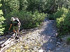
Hiking next to Jordan Creek. |
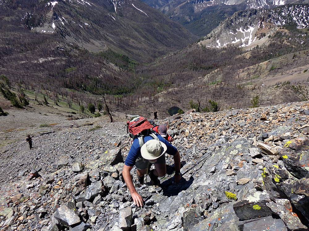
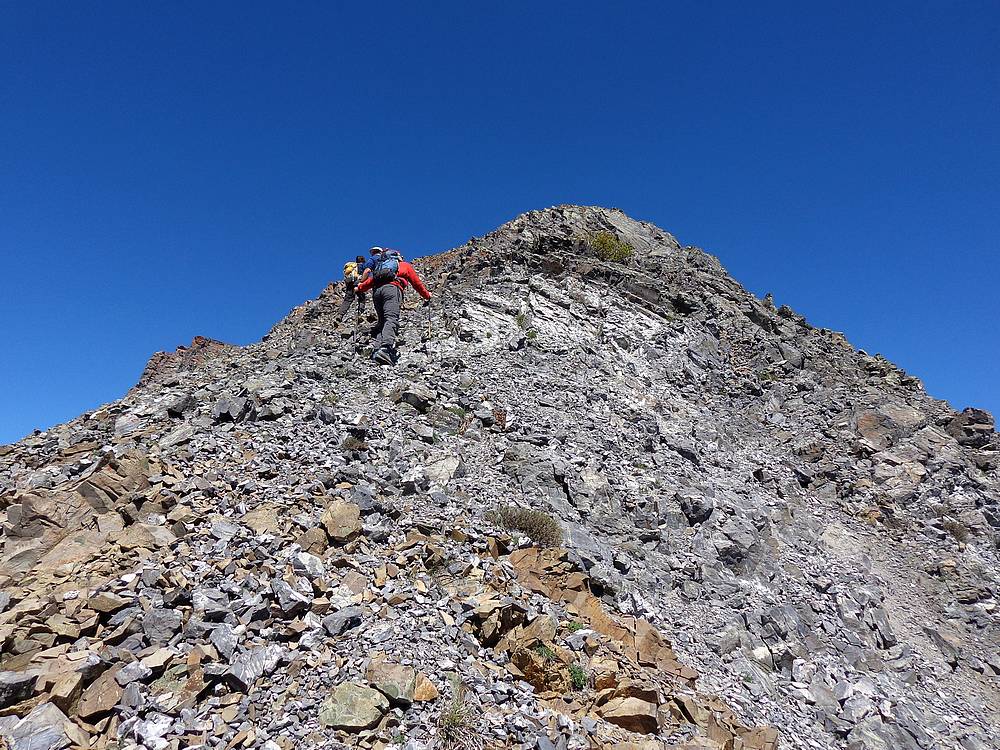
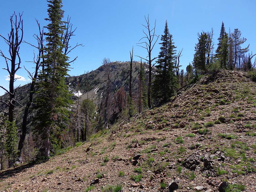
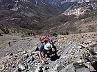
On our way up Mount Jordan. |

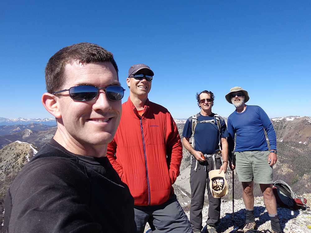
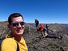
Group shot on the summit of Mount Jordan. |
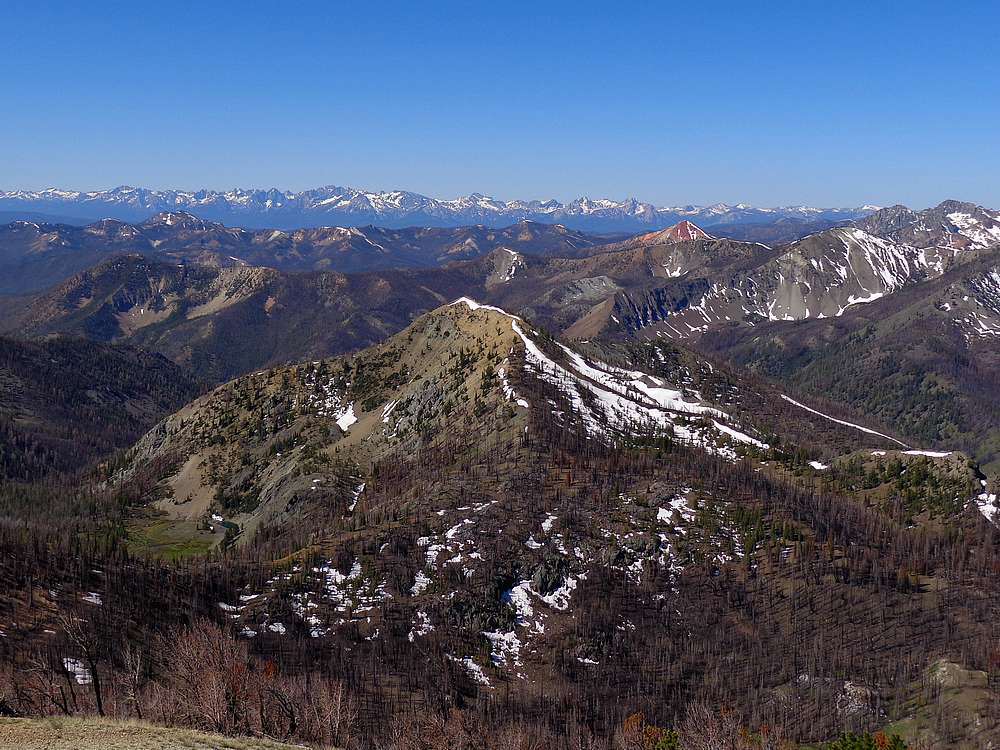
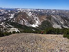
Sawtooths, Red Mountain, and Cabin Creek Peak from Mount Jordan. |
Short scramble section on The General. |
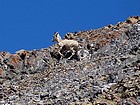
Close up of a bighorn ewe on the ridge. |

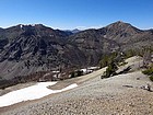
Looking back on Mount Jordan from The General. |
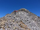
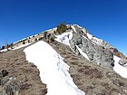
Nearing the summit of The General. |
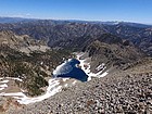
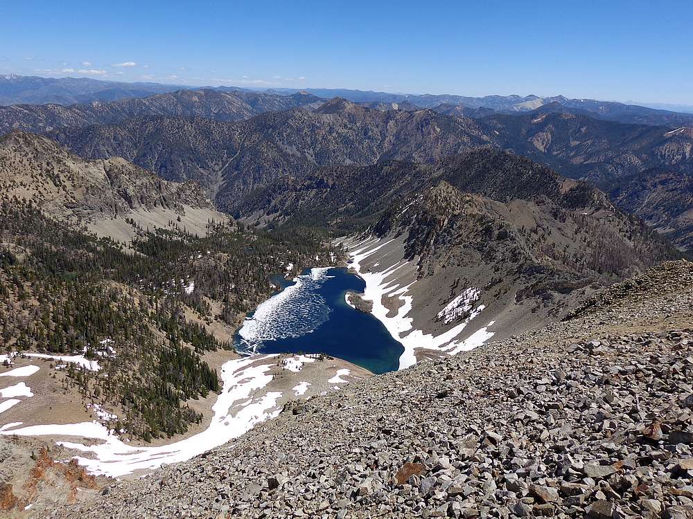
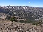
Mystery Lake from The General. |
The General summit shot. |
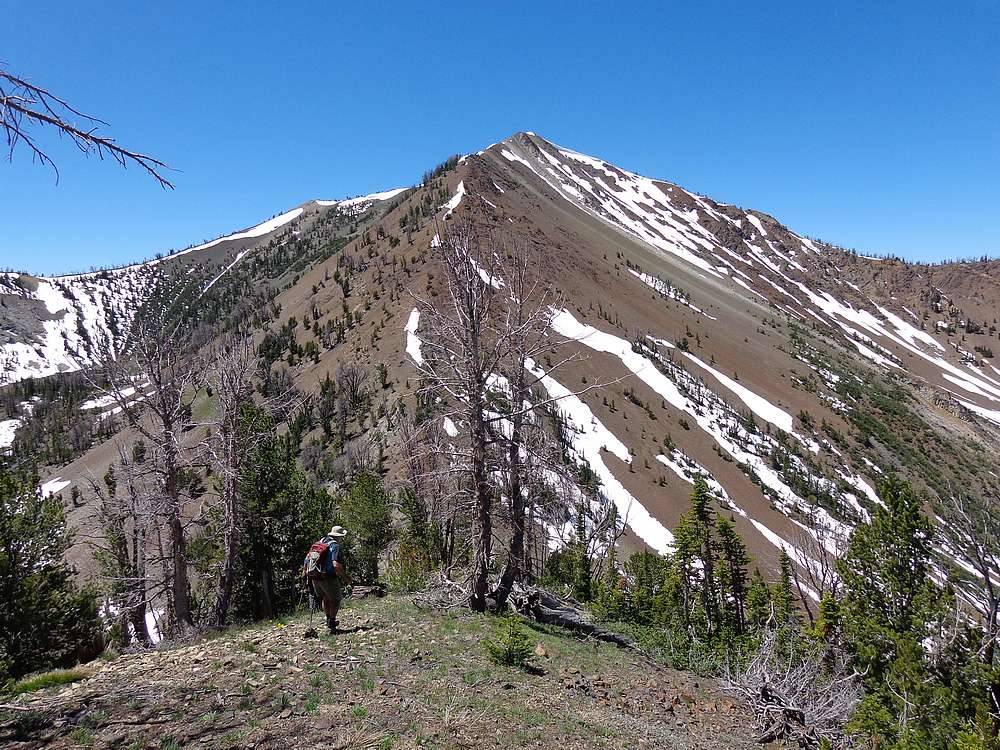
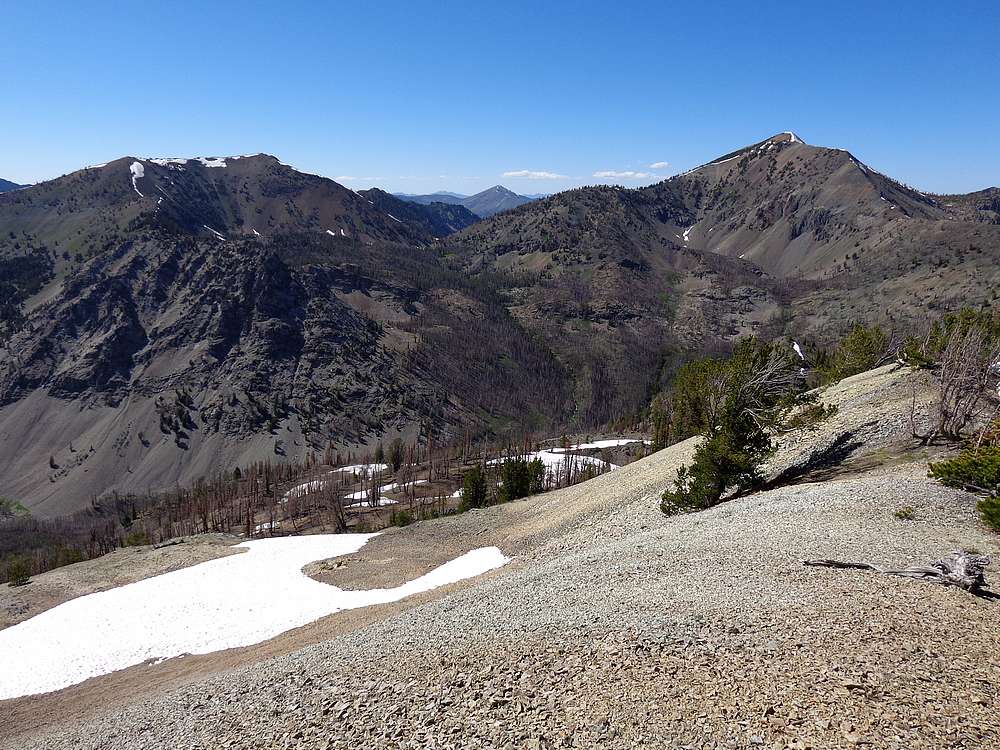
Descending southeast from The General, Tango Peaks in the background. |

On our way to Tango View Peak. |
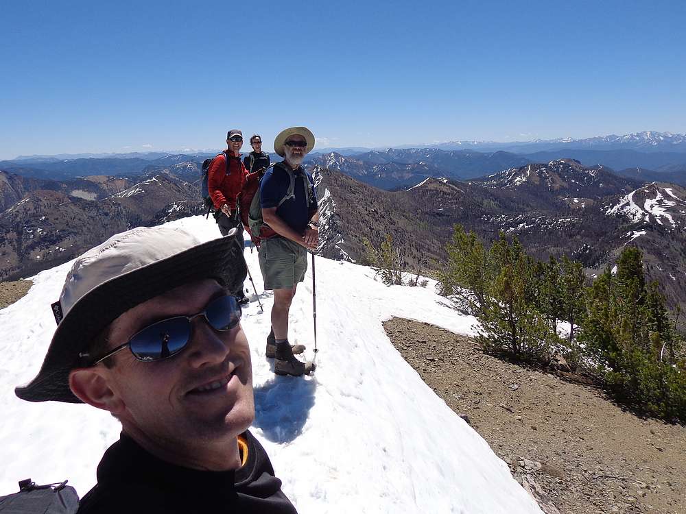
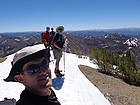
Group shot on summit of Tango View Peak. |
The rugged Tango Peaks from Tango View Peak. Cabin Creek Peak on the left. |
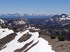
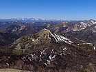
Sawtooths, Red Mountain, and Cabin Creek Peak from Tango View Peak. |
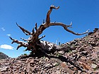
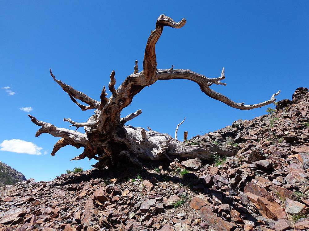
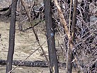
Gnarly tree near the 9090' saddle. |
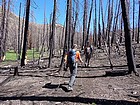
Hiking through the burn area west of Lightning Lake. |
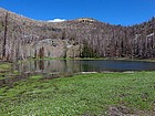
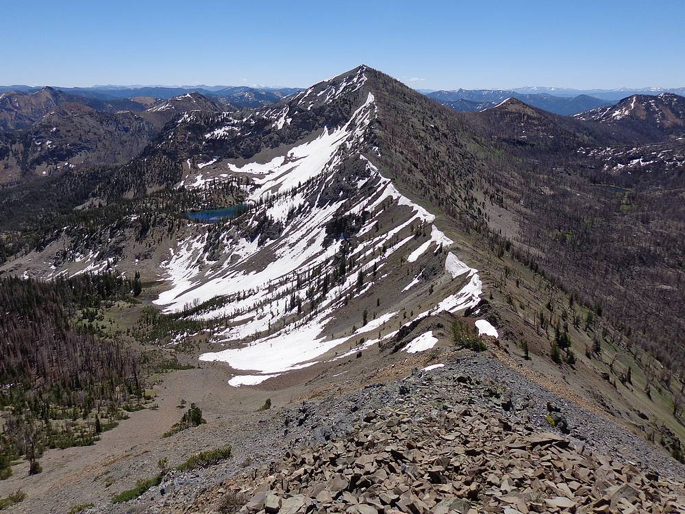
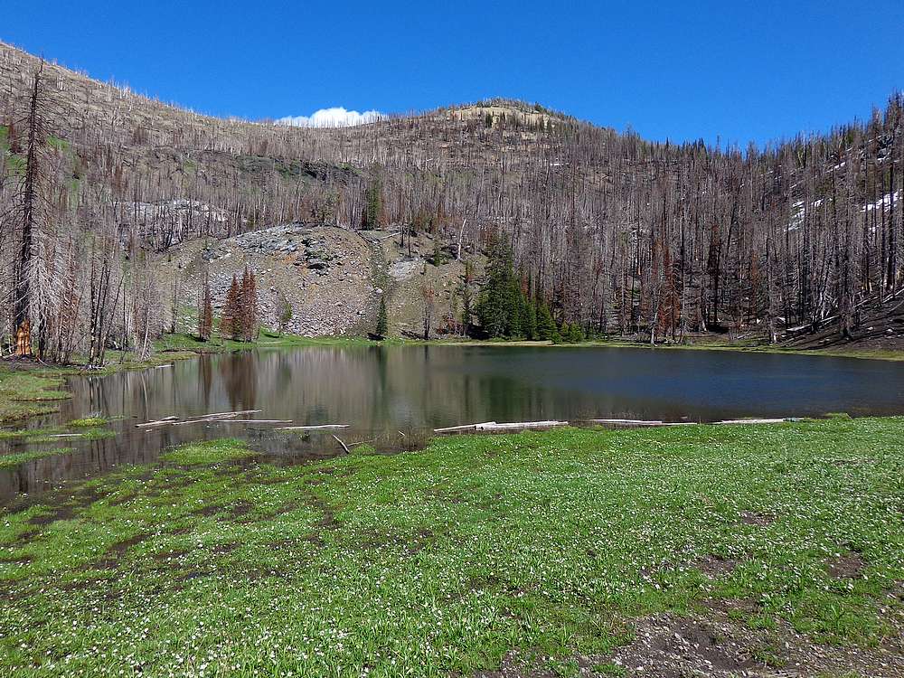
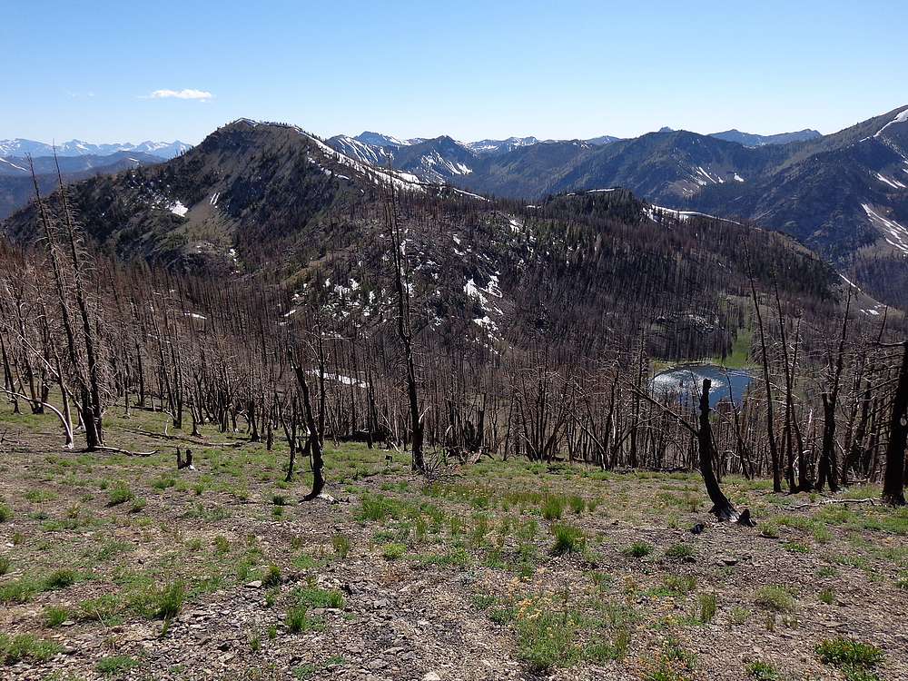
Mount Jordan above Lightning Lake. |
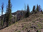
Lightning Peak from the saddle to the northeast. |
Nearing the summit of Lightning Peak. |
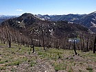
Tango View Peak and The General from Lightning Peak. |
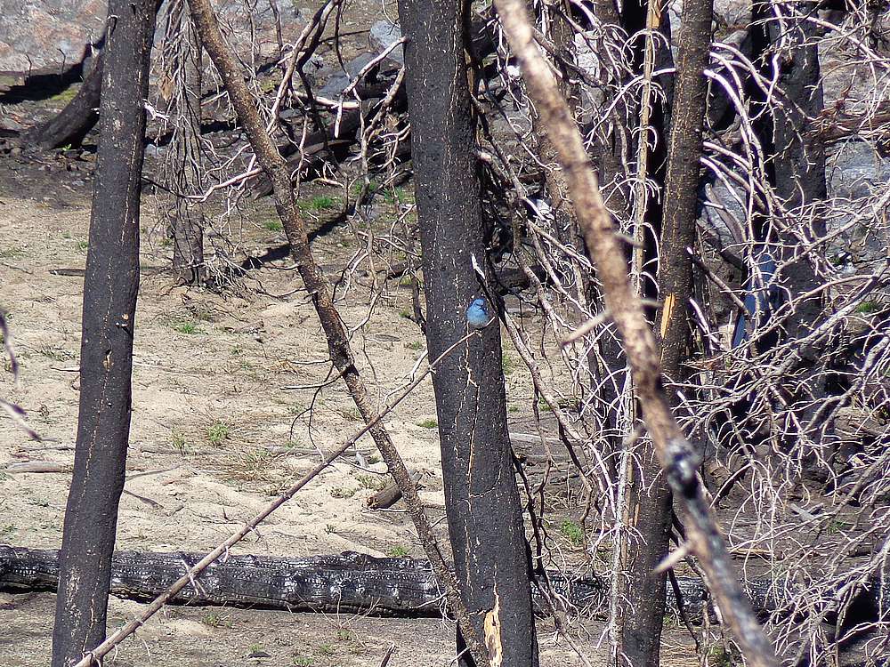
Bluebird near the trail above Lightning Lake. |
Lightning Peak and Lightning Lake from the east. |
Final crossing of Jordan Creek before getting back to the car. |
 |
|