|
Currant Peak is a lesser known and unofficially named mountain located in the Boise foothills not far from Bogus Basin Road. The mountain itself isn’t super impressive, but it is the third tallest peak in Ada County, out of nine total. Plus it’s a pretty nice hike close to town that can be done any time of year. But be prepared with snowshoes in the winter, or lots of sunscreen in the summer. Spring or fall could be the best times to visit.
I’d been saving this one for a time when I had a narrow time window. We were having a nice weather weekend, and I decided it was just too nice to stay home. So after church on Sunday, I grabbed a light backpack and headed for the hills.
There are a few options for reaching the peak. I chose to approach via Tom’s route, then circle back to the car using Mark’s route. So after driving a little over 9 miles up Bogus Basin Road, I pulled over at the obvious turnout and started weaving down the sagebrush covered ridge for about a half mile down to Daniels Creek. There is a trail next to the creek that the mountain bikers call Sweet Connie.
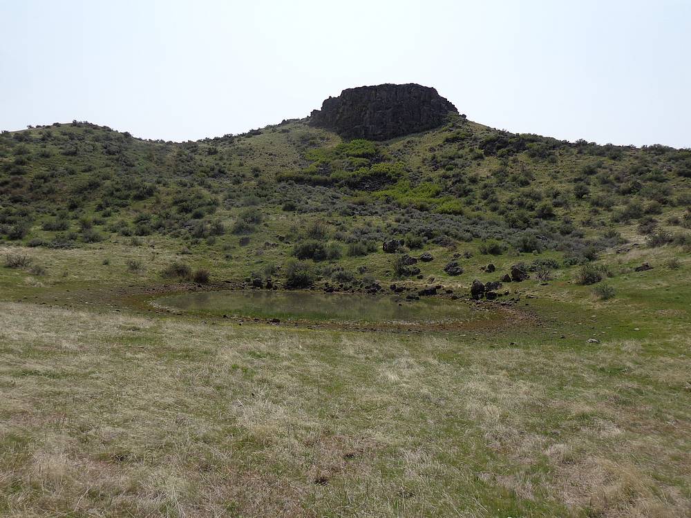
The trailhead at 4800’ elevation is actually 400 feet higher than the summit. Current Peak isn’t very impressive, especially from above. But it did look more appealing from the valley. The next mile or so was on the trail, and I passed a pair of hikers along the way. At the point where the trail passed a lone pine tree, I headed cross-country toward the peak. I soon reached the small cow pond shown on the map, then found an old jeep road leading up the backside of the peak to the saddle between the twin summits. There are a few unmarked fences in the area, and it was not obvious what if any of the ground was on private property.
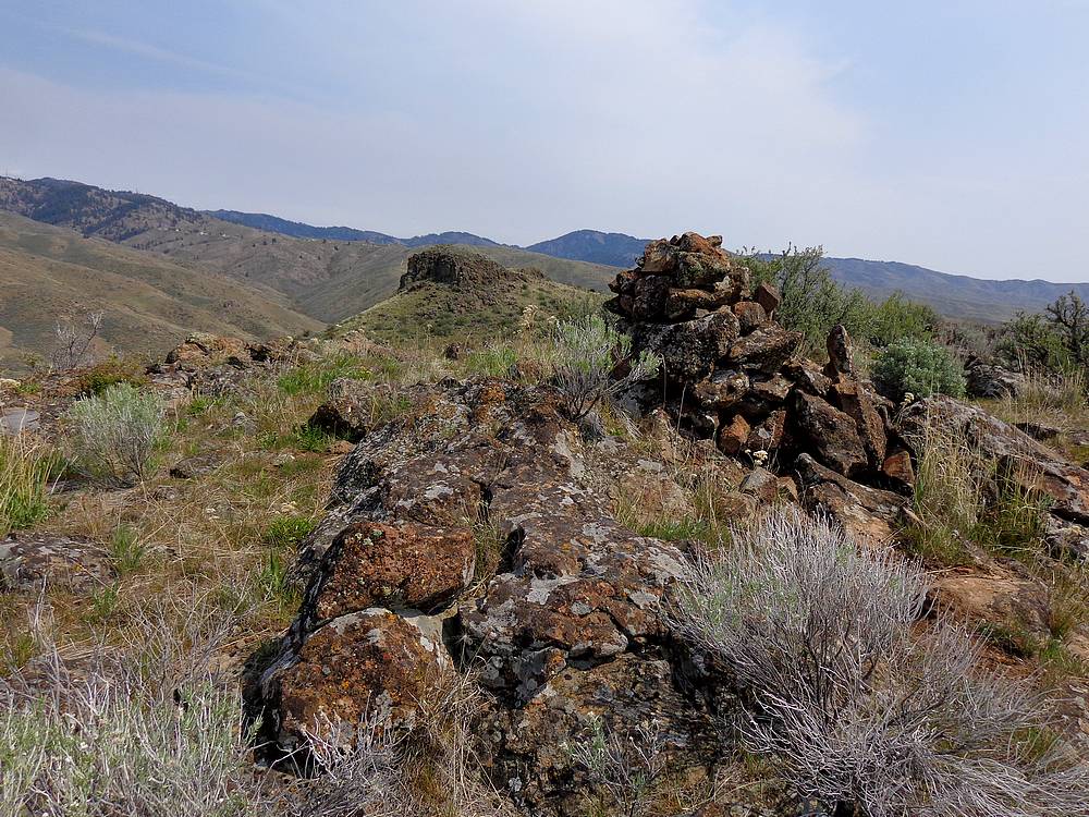
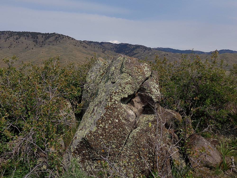
I decided to climb the lower west summit first, where I found a pretty impressive cairn. From there I backtracked to the saddle and climbed to the higher east summit. There wasn’t any cairn, but there was a boulder on the obvious highpoint. The weather was great and I enjoyed a snack before heading down. From above I could see a couple different groups of mountain bikers down on the Sweet Connie trail.
To create a loop and avoid having to climb through sagebrush, I decided to climb a different jeep trail back up to the ridge. The jeep trail ended up at a gate on Bogus Basin road. From there I walked the pavement about a half mile back to my car.
All in all, not a bad afternoon in the hills. The hike was just under 6 miles and 1300’ elevation gain round trip. Most of the climbing was on the way back out. Round trip took just over 2 hours.
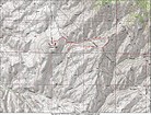
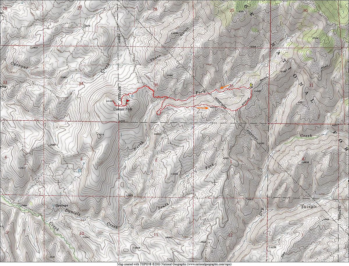
Map of the route 1 took, just under 6 miles and 1300' elevation gain, round trip. |
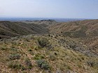
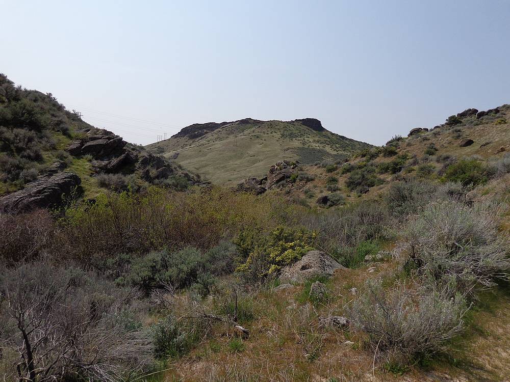
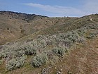
Looking down at Currant Peak from near the trailhead. |
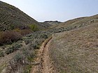
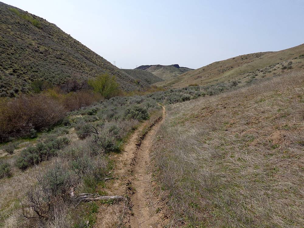
Daniels Creek Trail with Currant Peak in the distance. |
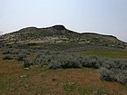
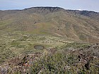
Currant Peak from the northeast. |
Pond on the north side of the peak. |
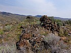
Cairn on the lower west summit, east summit in the distance. |
Currant Peak summit view northeast toward Shafer Butte. |
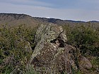
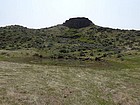
Currant Peak highpoint, east summit. |
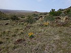
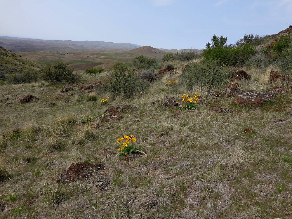
Arrowleaf Balsamroot in bloom. |
Climbing the jeep trail back to the trailhead. Daniels Creek to the left. |
|