|
East Germania Divide
The “Germania Divide” is a group of 13 unnamed peaks at the southern edge of the White Cloud Mountains, on the fringe of the Boulder Mountains. This pocket of peaks forms a divide between the Germania Creek drainage to the north, and the East Fork Salmon River to the south. These obscure peaks are highly scenic but seldom climbed, which make them a great place to go for some solitude. My goal for this solo trip was to visit the five peaks at the east end of the divide, and explore some new terrain around the East Fork Salmon River. This trip had been on my wish list for a few years now, and I was really looking forward to the adventure.
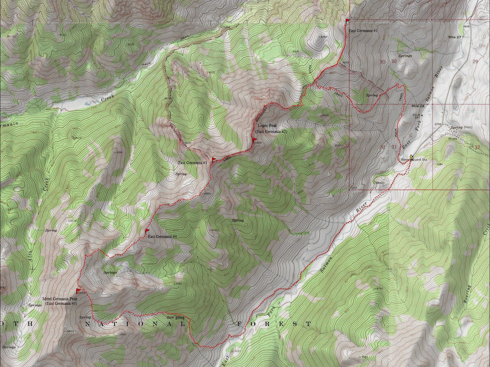
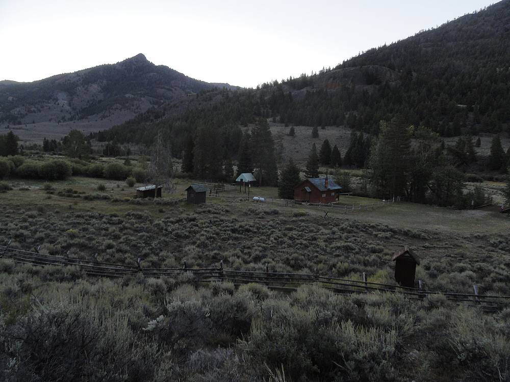
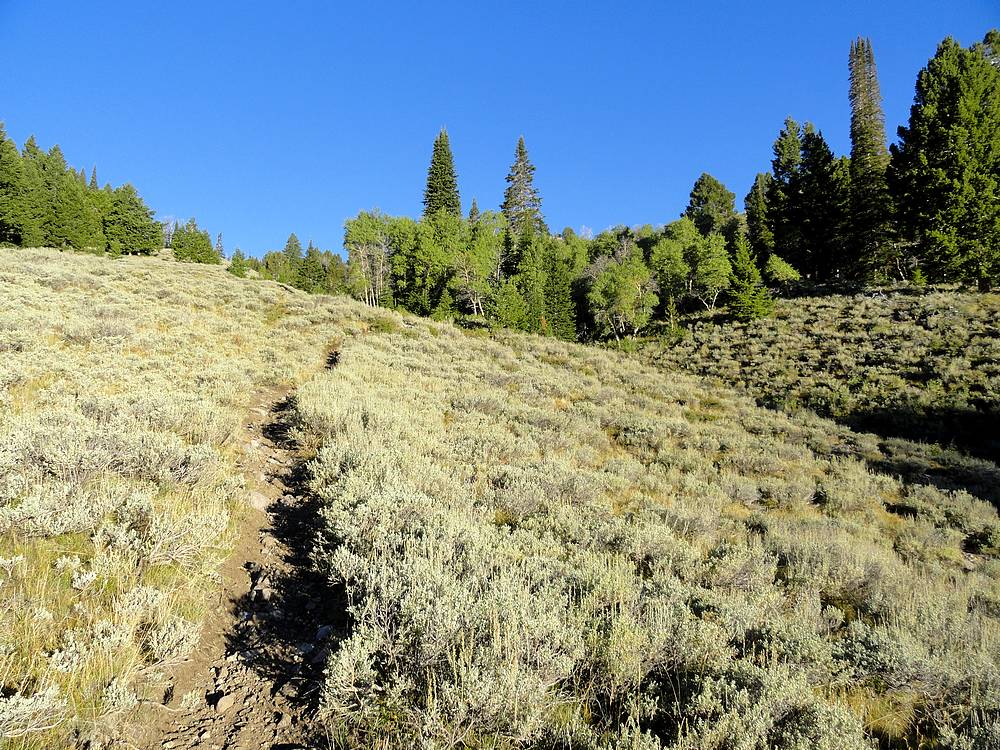
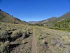
After a 4.5 hour drive from Boise, I reached the trailhead at Bowery Guard Station at just after 10pm Sunday night. I was surprised to see three other vehicles at this remote trailhead at such a late hour, but later found that there is a nice hot spring nearby. Camping isn’t allowed at the trailhead, but I found a great spot just around the corner to the east. After a good night of sleep in the back of the Durango, I was up and ready to go and hit the trail by a casual 7am. The first part of the hike was on a trail. There was a nice bridge across the river, and I then wandered through the guard station grounds before finding the trail heading north up the hill. From here, the trail is kinda steep but well maintained. I tried to move fast knowing I had a big day in front of me, and I was able to reach the ridgeline in about 90 minutes. The only real pause was to stop and watch a group of deer that seemed confused by me being there. It was nice to get over 2k of gain out of the way quickly on a good trail.
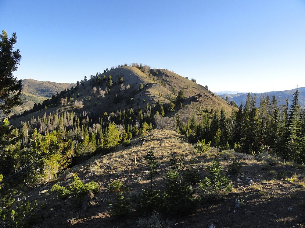
Once at the saddle, I left the trail and hung a right toward the first peak (9220’), which was a mile away. There were occasional game trails to follow along the ridge. I saw deer and bear sign along the way. But the highlight was the great view of Castle Peak set aglow in the morning light. The summit itself was less than spectacular, with a few trees blocking the views. I didn’t stay long, and quickly retraced my steps for a mile back to the saddle.
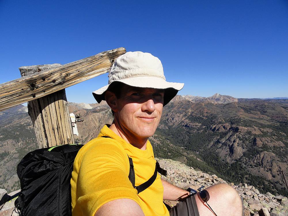
I was really looking forward to the second peak (10405’), since that has the distinction of being one of Tom Lopez’s favorite places in Idaho. Near the back of his book, he is shown pictured on this summit, with Castle Peak in the background. Based on that, I decided to nickname this one ‘Lopez Peak’. Up I went, winding my way through sparse forest at first. Once above tree line, an intermittent trail became visible, and I used it to make my way up the east ridge of the north summit. It was a nice climb to the top, and the views were excellent, and I found the signpost visible in Tom’s photo. There was also some other wood and metal pieces nearby, so this may have been the site of a fire lookout or something in the distant past.
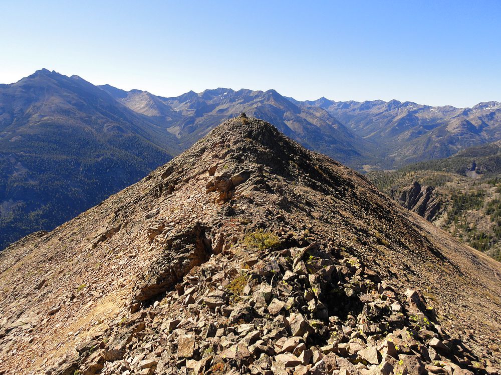
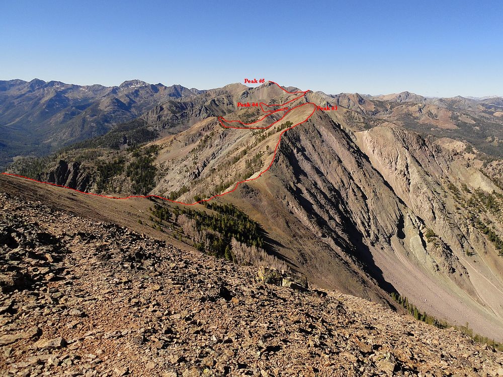
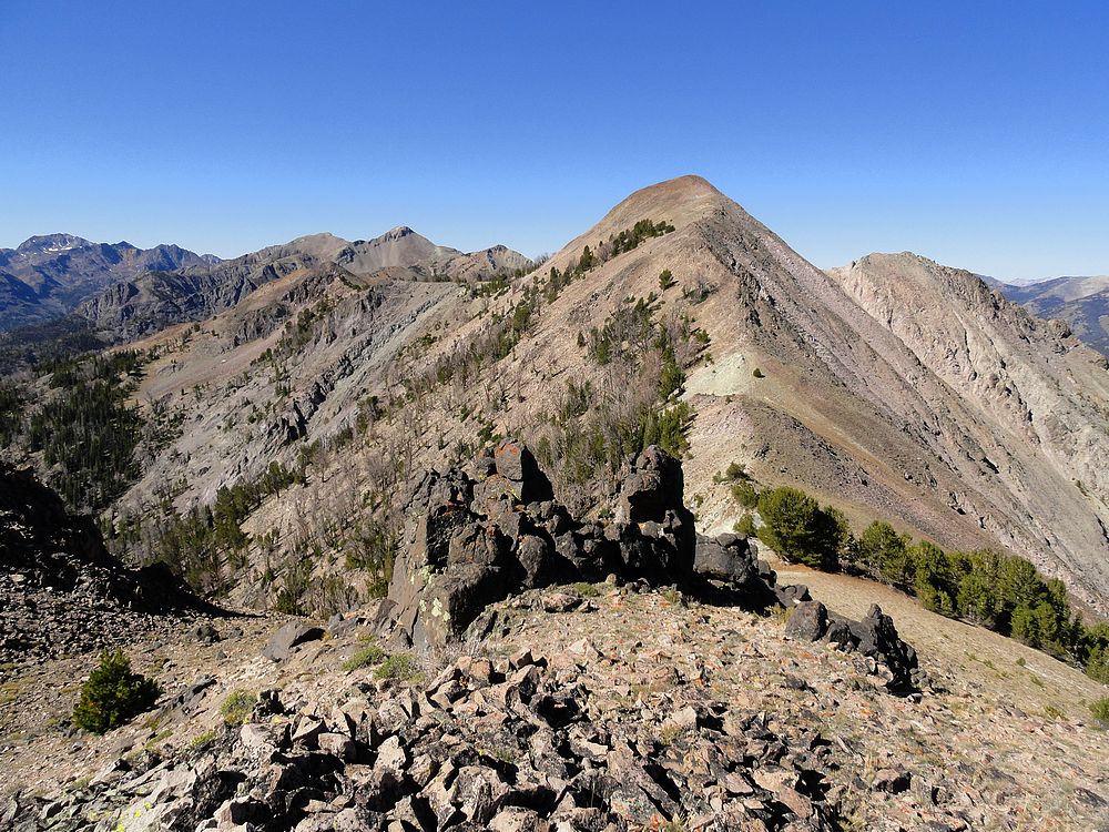
Next up was the traverse south to the true summit. This section offered up some of the best scrambling of the day, with fun route finding along the way, winding back and forth through rock outcroppings from one side of the ridge to the other. From the summit of Lopez Peak (10405’), I now had a great view of the rest of the route and the three remaining peaks on my itinerary. The last peak looked very far away. But I couldn’t see any obstacles, so onward I went. The third peak (10300’) wasn’t too far, and I moved quickly along the ridge. The most noteworthy thing about the third peak was the two mountain goats I saw scurrying across the south slopes of the peak on my way down. There are a ton of goats in the area. I honestly can’t remember the last time I didn’t see them during a hike in the White Clouds.
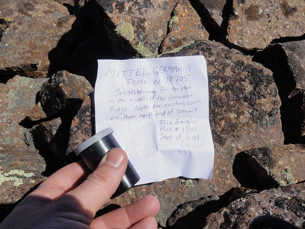
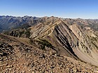
The section between the third peak (10300’) and fourth peak (10100’) was a little longer with a few more ups and downs. Tons of white bark pines in this area, including a few live ones. The views continued to be fantastic. Not much sign of human activity in the area, but I was surprised to see a tall cairn on top of Point 10091’. From this point, it was a fun scramble down to the next saddle, where I saw a couple elk hurry by when they saw me coming. Next was the short climb to the summit of the fourth peak (10100’). I felt my pace starting to slow down at this point with the miles and gain staring to add up. But I stayed motivated thanks to the great view of the fifth peak (10705’) directly in front of me. This one is nicknamed “Mittel Germania Peak” by Rick Baugher, because it is in the middle of the Germania Ridge.
I wandered down the southwest side of the fourth peak, and then decided to take a shaded route through the trees to start climbing up toward the northern summit of Mittel Germania. It cost me a couple hundred feet of extra gain to reach the northern summit, but I figured the views would be worth it, and I wasn’t disappointed. From here, I made my way across a broad and scenic plateau before making the final 500’ climb up to the fifth and final summit of the day. Foreshadowing made the climb look steeper than it really was, and I made it to the summit in no time. There was a cairn on the northeast end of the summit ridge, but the highpoint was actually further south. Here I found another cairn and Rick’s film canister.
Once the fifth peak was in the bag, I stopped for an extended break to soak in the views and enjoy the satisfaction of making it to the top of all five peaks. Of course the day wasn’t finished yet, as I still had a long uncharted descent ahead of me. I decided to drop into the basin south of Mittel Germania, and then follow the unnamed creek back down to the trail. Sounds easy enough, right? After some scree skiing down the slopes of the peak, I found myself in a very scenic basin with a pretty stream flowing through it. But the crux of the day ended up being the descent down the steep sided drainage. I tried to cling to the slopes above the creek to stay out of the brush, but with limited success. It was slow going, but I eventually made it back down to the sagebrush valley and the East Fork Salmon River. Here I found the well-used trail. My dogs were barking, but I knew I needed to set a quick pace on the almost four miles back to the trailhead. The only thing that slowed me down was a wide river crossing about a mile before finishing. I didn’t bother taking off my boots, and just forged on through the water. Soon enough the guard station came into view, and I was back to the trailhead, tired but happy.
I can’t say enough about how much I enjoyed this hike. It was a great 11 hour solo adventure. The weather was perfect and the views were spectacular. It was very satisfying to pull off 16 miles and 6500 feet of elevation gain. Starting out, I honestly wasn’t sure I’d be able to complete all five peaks, so the result was very satisfying. This one is highly recommended if you are looking for solitude and scenery.
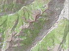
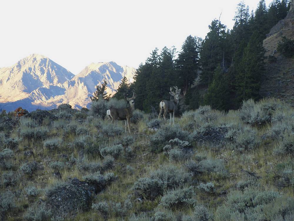
Map of the route, 16 miles and 6500' elevation gain round trip. I went counterclockwise. |
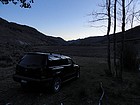
Morning view from my campsite. |
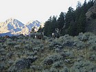
A couple deer by the trail early in the hike. |
Nearing an aspen grove on the way up the trail. |
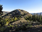
East side of "Lopez Peak", the second peak of the day. |
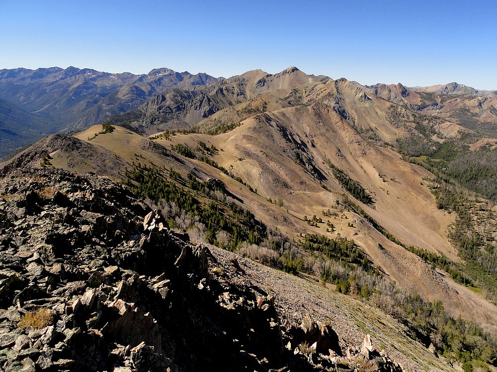
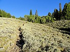
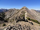
Gentle ridge to the first peak of the day. |
East side of "Lopez Peak", the second peak of the day. |
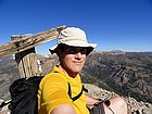
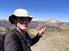
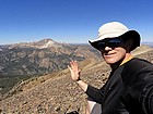
Me trying to duplicate Tom's photo on the north summit with the signpost. |
The connecting ridge between the two summits of Lopez Peak was a fun scramble. |
Great view of the Boulder Mountains from the summit of Lopez Peak. |
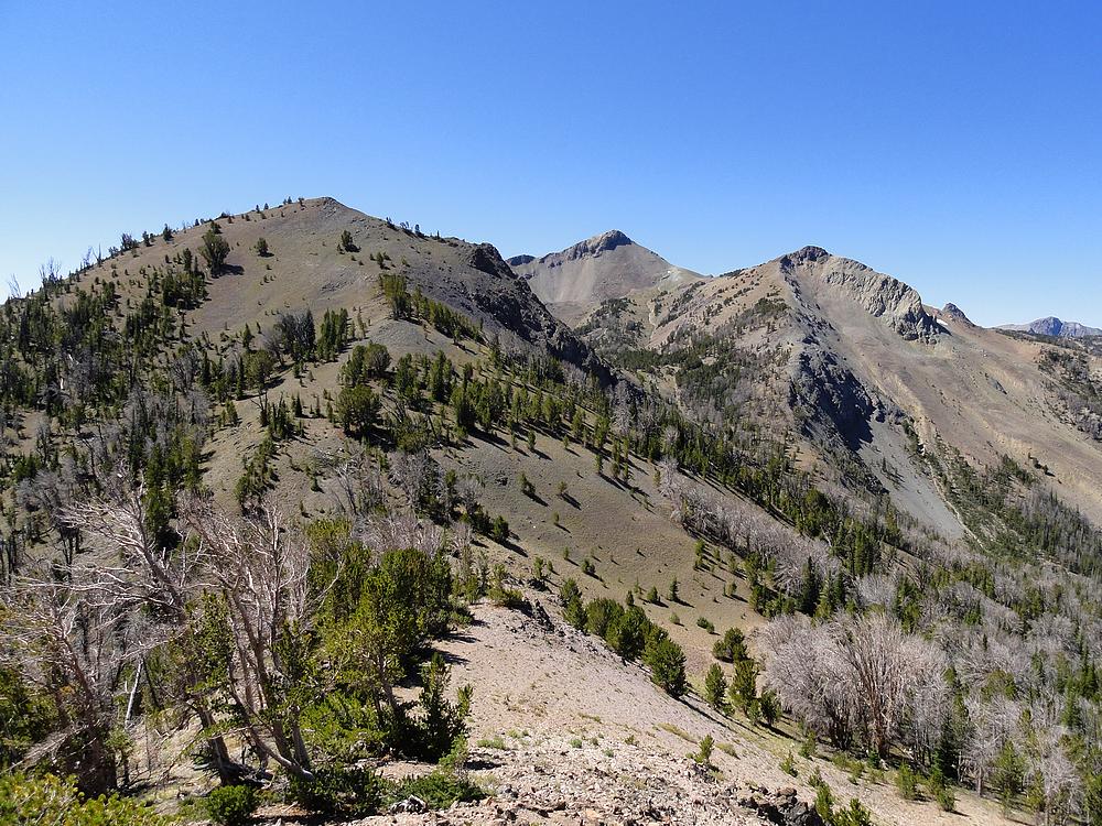
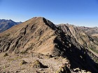
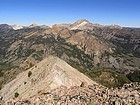
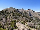
View of the rest of the route from Lopez Peak. Still a long way to go. |
Nearing the third peak of the day. |
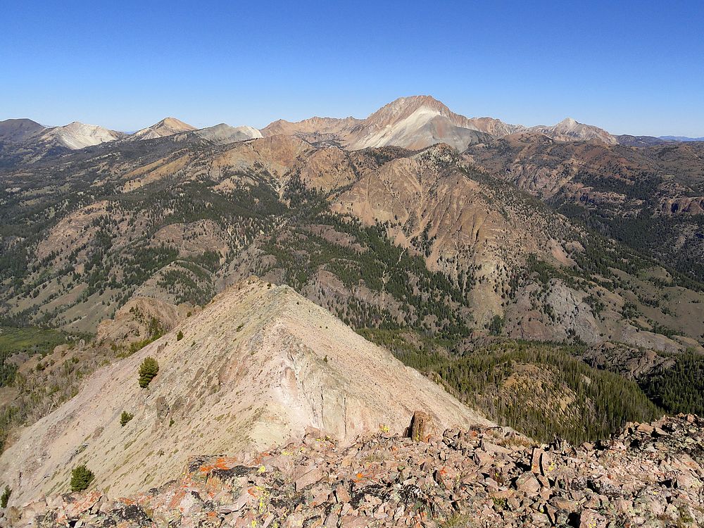
Excellent view of Castle Peak from the third peak. |

Looking back on Lopez Peak from the third peak. |
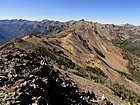
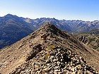
Lots of undulating ridgeline between the third and fourth peaks. |
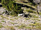
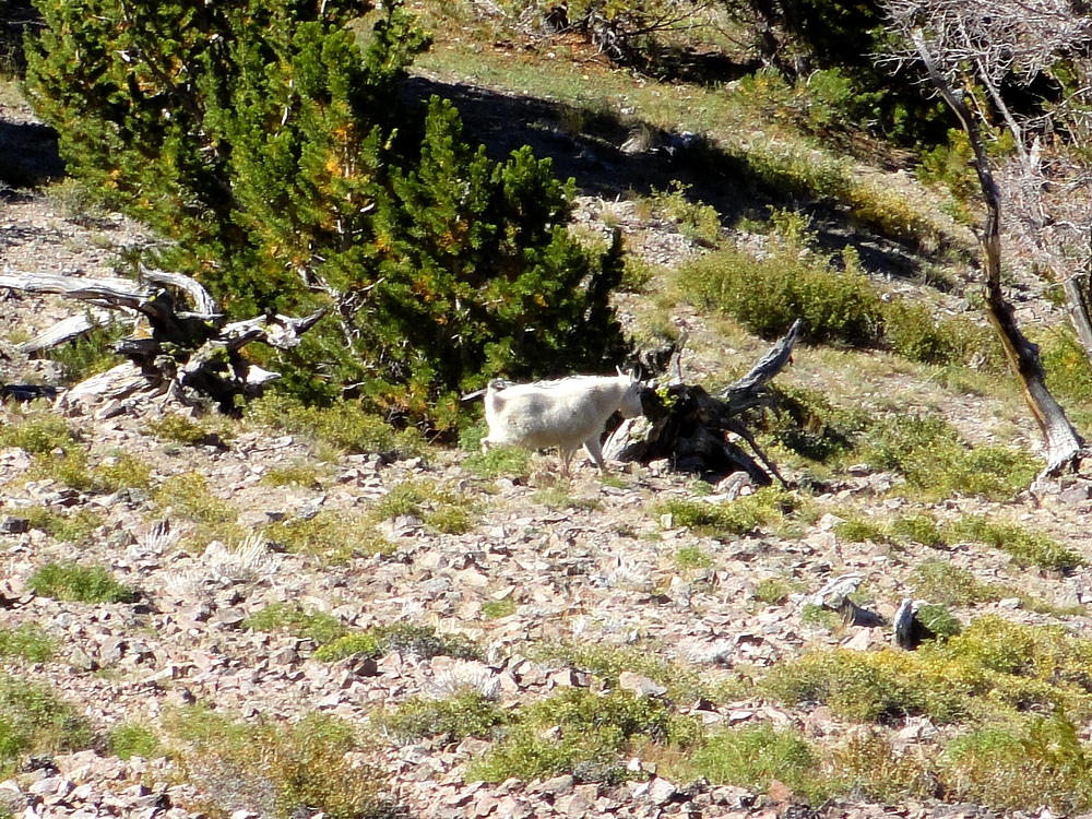
Mountain goat on the southwest slopes of the third peak. |
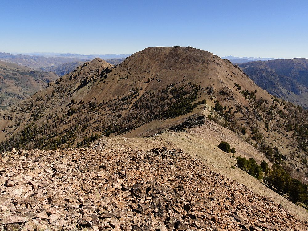
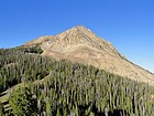
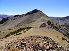
Nearing the fourth peak of the day. |
Me on the summit of the fourth peak. The ever-present Castle Peak in the background. |
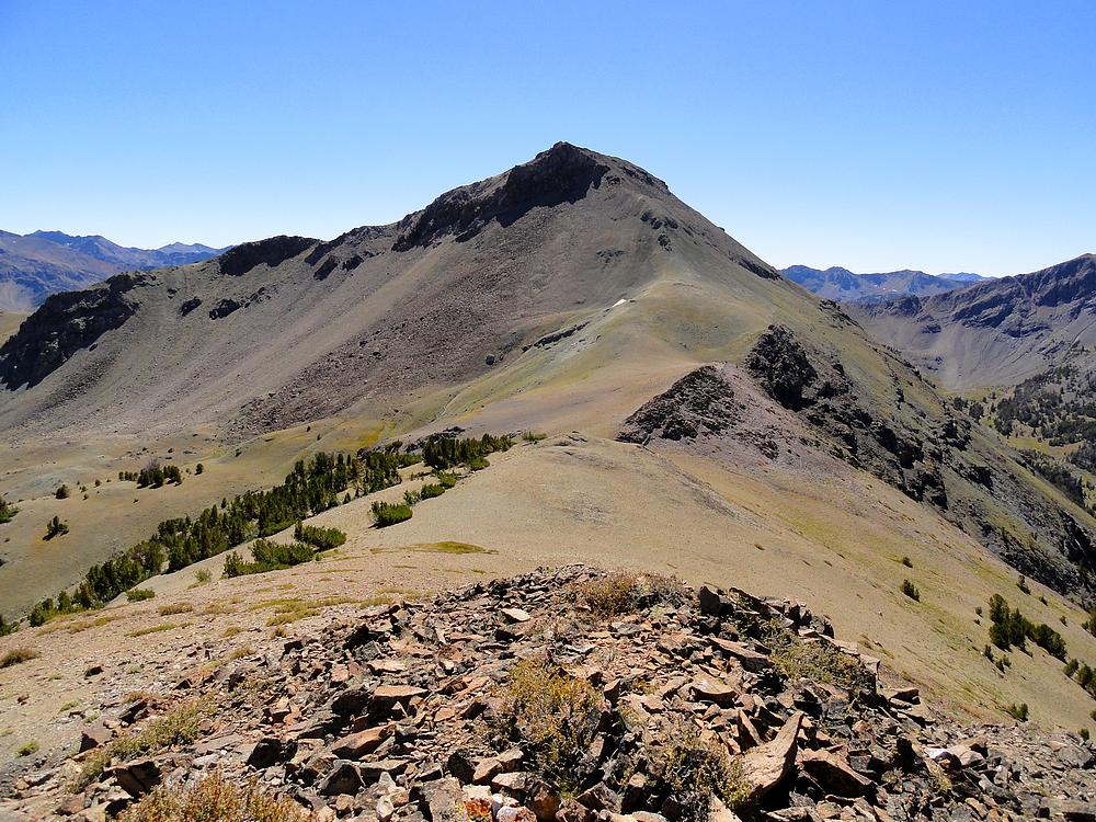
Beautiful plateau below the summit of the fifth peak, Mittel Germania. |
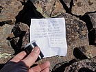
Mittel Germania Peak summit register. |
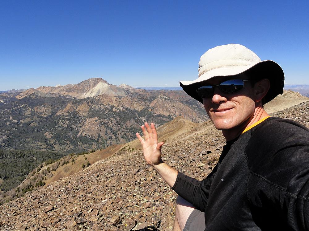
Excited to be on my fifth summit of the day. |
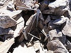
I found this buried in the rocks near the summit of Mittel Germania Peak. |
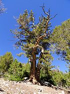
Ancient White Bark Pine I passed on the way down. |
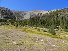
Pretty basin below Mittel Germania Peak. |
Finally down to the trail by the East Fork Salmon River. |
|
|