|
The “Cottonwood Peaks” are located in southwestern Idaho’s Boise Mountains, between Arrowrock Reservoir and Cottonwood Creek. It’s a pretty area, less than ninety minutes from Boise, and is accessible year round. There are an abundance of game trails crisscrossing the hillsides and ridgelines, making for fun exploring. The ridge south of Cottonwood Creek is home to two peaks. I’ve nicknamed these West Cottonwood Peak (Peak 6336’), aka “Heinen Twin” (since it has the exact same elevation as it’s more famous neighbor), and the slightly taller East Cottonwood Peak (Peak 6526’). We had decided to go explore the area after a couple other options became undoable as a result of avy risk and ugly weather forecast.
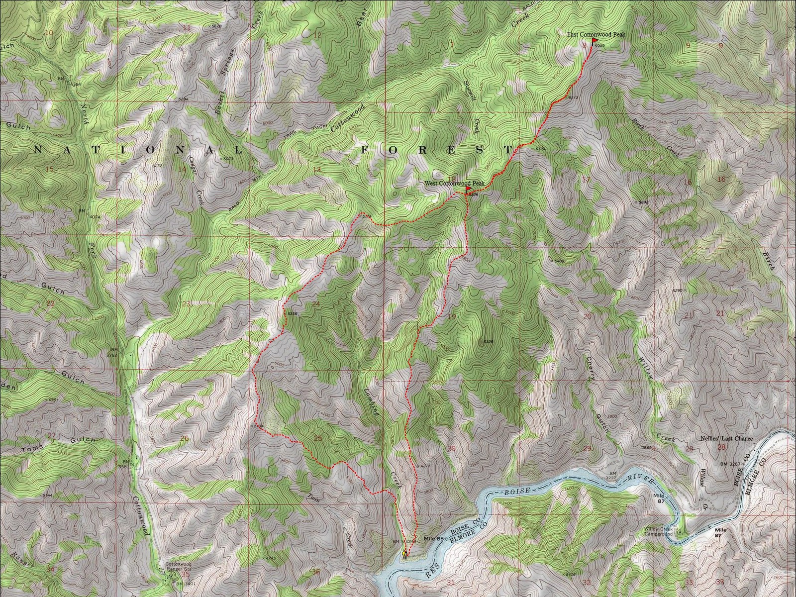
During the drive to the trailhead, we discussed a few options for reaching the peaks, and ended up deciding on a semi-loop that started and ended at the bottom of the Lambing Creek drainage. The plan was to hike up the ridge west of Lambing Creek, gain the main “Cottonwood Ridge”, traverse out to East Cottonwood Peak, then back down the ridge east of Lambing Creek.
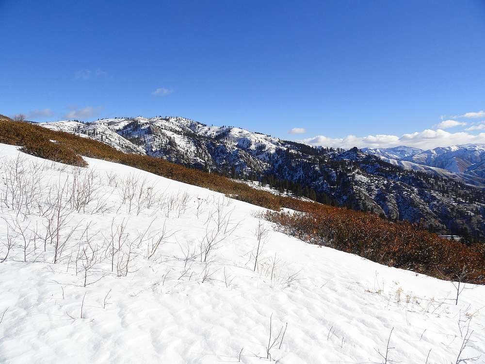
The forecast was for heavy clouds, snow, and high winds. But for much of the early part of the hike it was clear and calm. We followed various game trails for a while, then eventually put on snowshoes as we got higher up. Even though the snow was almost firm enough to support us even without them, the occasional post holing just wasn’t worth it. We made pretty good time, occasionally stopping to take in the views along the way. Once up on the main ridge, we had a great view of the long south ridge of Mount Heinen, just to the west of us. The unsettled weather made for some pretty neat looking views and some nice photo ops.
It took us three and a half hours along the undulating ridge to reach our first summit, West Cottonwood Peak, where we stopped to enjoy the views and have a bit to eat. We were feeling good, so there was no doubt that we’d make an attempt on the second peak. So down the ridge we went, up and over a few false summits before eventually reaching the bald summit of East Cottonwood Peak.
At this point, the clouds had come in and the wind was blowing pretty hard, which gave things a more exotic feel. We didn’t linger long, and started making our way back along the ridge, with several hundred feet of elevation gain to be made on the way back.
The final climb back up the ridge to re-climb West Cottonwood was a bear. I couldn’t figure out why I was so tired. It wasn’t until after I got back and downloaded the GPS track that I found we’d done 5k of elevation gain during the course of the day. Which is a pretty big day on snowshoes, even with the good snow conditions we had.
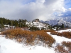
After studying the map for a bit, we descended the south ridge back down toward the truck. It was nice to be going downhill, but we had to contend with some bushwhacking, which made for good times. Fortunately there were intermittent game trails that helped us out. As we got lower, the brush lessened and our pace quickened. We made it back to the car just as the sun was setting. It was a great day to be out in the mountains, and we were very satisfied with our efforts. In less than nine hours we’d done two peaks, five thousand feet of elevation gain, and just under twelve miles. Not bad for a February snowshoe outing!
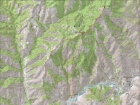
Map of our clockwise route, just under 12 miles and 5000' elevation gain round trip.
|

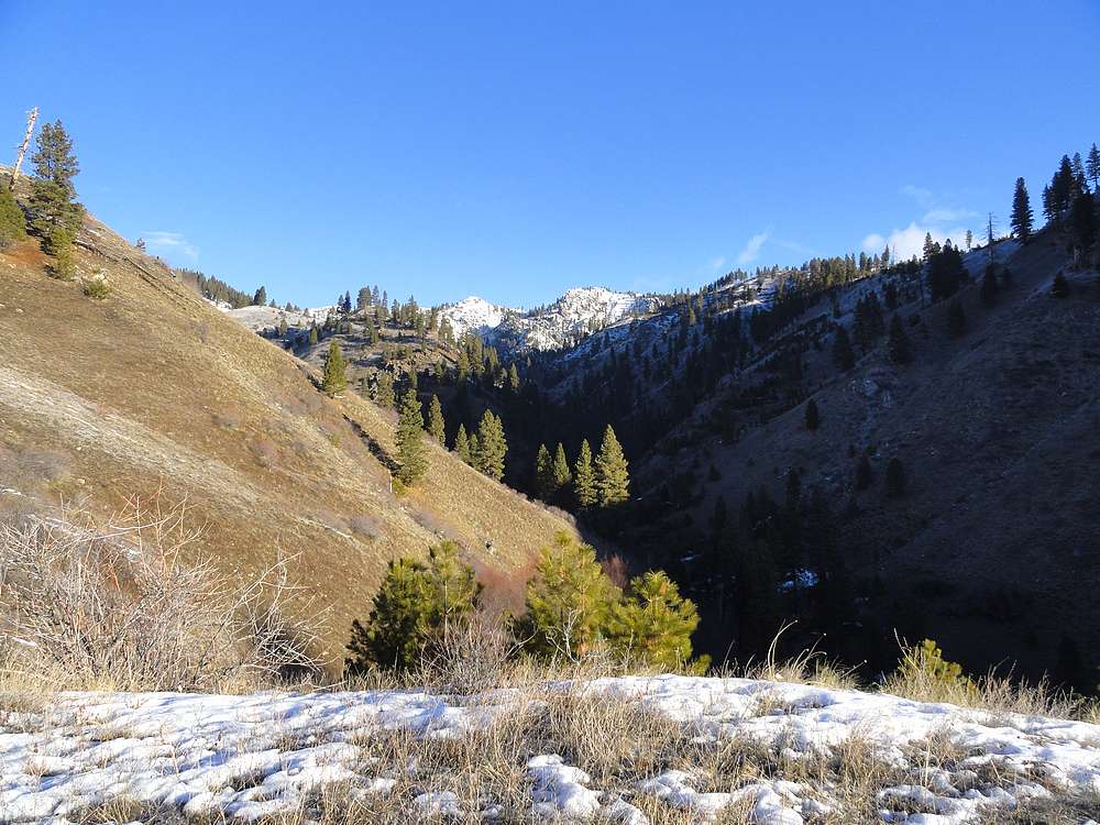
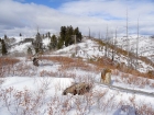
Early view of the Lambing Creek drainage.
|
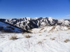
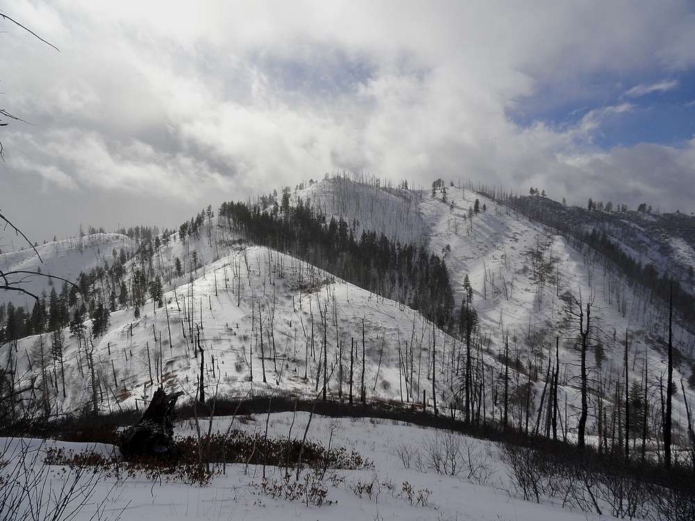
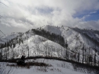
View west of Mount Heinen's long and legendary summit ridge.
|
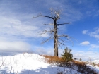
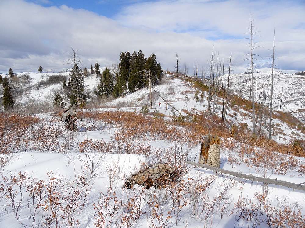
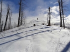
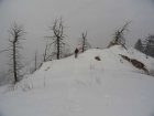
Old burned snag on the ridge.
|
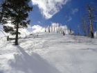
Making our way up the ridge.
|
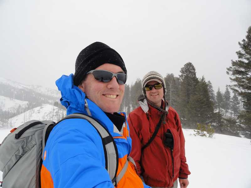
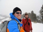
On the summit of West Cottonwood Peak (Peak 6336').
|
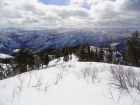
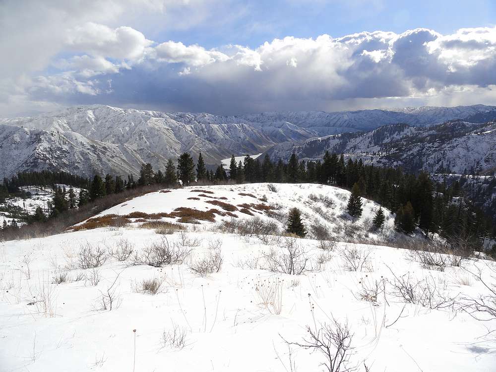
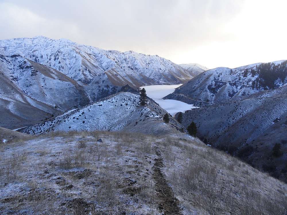
View of Arrowrock Reservoir to the south from West Cottonwood.
|
Crossing a cornice along the ridge between the two peaks.
|
Splattski shot on the summit of East Cottonwood Peak (Peak 6526')
|
Coming back a cross the ridge in the fog.
|
Blue skies again as we begin our final uphill section, reclimbing West Cottonwood.
|
Steepest part of the day, east face of West Cottonwood Peak.
|

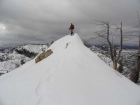
View down the south ridge of West Cottonwood Peak.
|
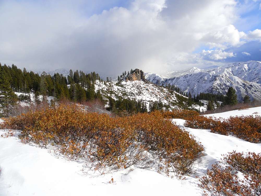
Point 5326' is a cool rock formation.
|

Following the game trail back down to the truck.
|
|