|
Abel Peak is located in the northwest corner of the Pioneer Mountains, near Ketchum. It anchors the east end of highly scenic cirque that holds Kane Lake. Abel Peak is the 45th highest peak in Idaho, and is located amidst some the tallest peaks in the range. It is a great vantage point to soak in the views of what could be Idaho's most under-appreciated mountain range.
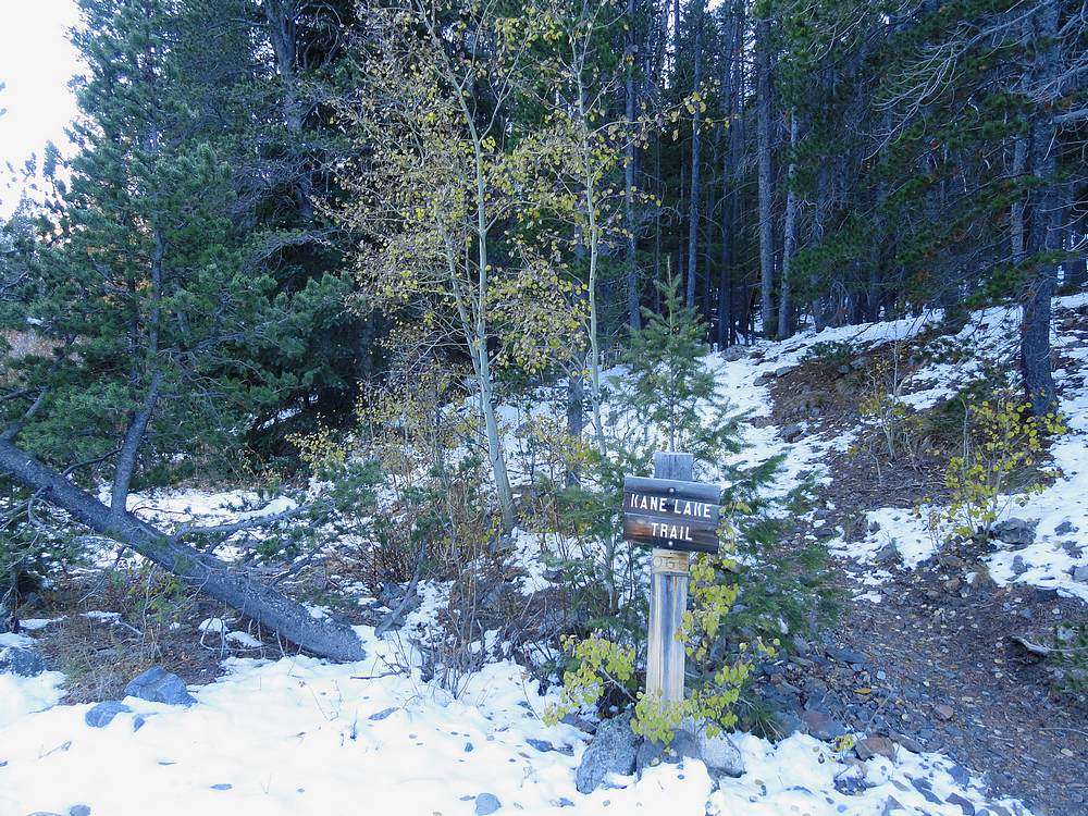
After some snow earlier in the year, the weather had been great for the past several days. Constantyn and I were looking from a high peak with a south facing ridge route that we hoped would be snow free. Abel Peak was our choice in the end. We left Boise at just after 4:30am and arrived at the Kane Lake trailhead about four hours later.
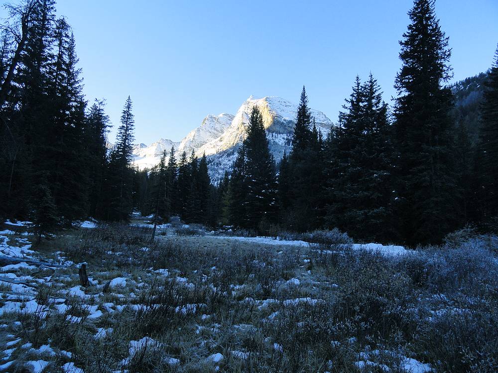
It was a balmy 15 degrees when we left the car, and there was a light covering of snow from the start. Fortunately it was still easy to make out the trail, and we made good time covering almost three miles in the first hour. We were in the shady trees for most of the early part of the hike, but still managed to get occasional sneak peeks of the massive east face of Devils Bedstead West soaking in the morning sun.
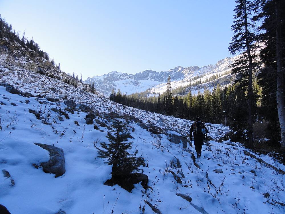
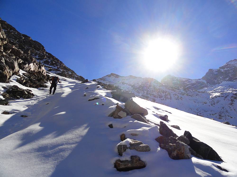
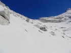
The trail was a little harder to follow as we got higher, and we clamored our way up the ledges below Kane Lake, then angled up the slopes north of the lake, trying to take the path of least resistance. We did a mixture of scrambling and post-holing as we made our way into the upper cirque. It was a lot of work, but the views were great and did a good job of distracting us from the effort we were applying. We stubbornly refused to stop and put on our snowshoes, although in hindsight they would have made things easier.
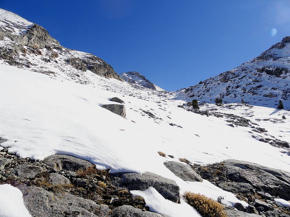
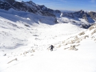
Eventually, the saddle at the head of the cirque came into view, and we stopped for a lunch break. Skies were blue, and there was almost no wind. Hard to beat weather like this in mid October. Soon enough it was time to continue onward. We decided to side hill up the valley to avoid a boulder field in the center of the valley that was only partially snow covered. There were a few places that the snow was very firm and kicking steps was a challenge. But we stuck with it in spite of a few slips and slides.
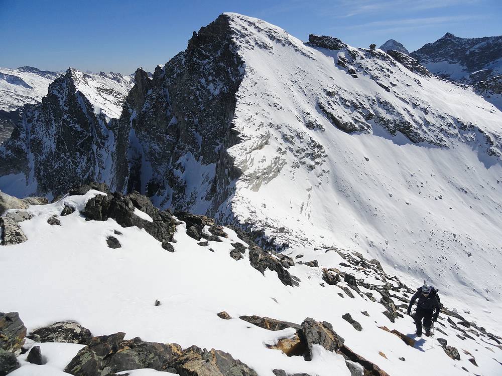
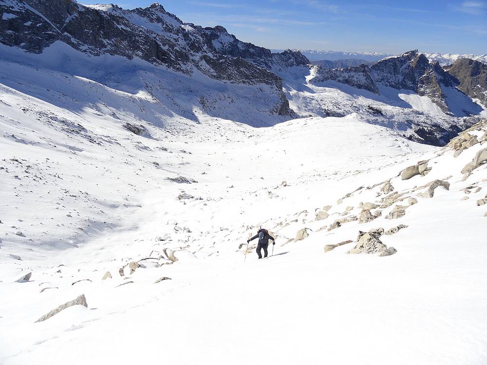
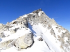
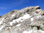
We were excited to finally reach the saddle, and were looking forward to the rock scrambling section up the ridge. The bottom part of the ridge was a bit treacherous as we carefully picked our way though boulders with snow partially covering the gaps between them. This would be no place to break a leg or twist an ankle, so we moved slowly and carefully. Further up, the snow coverage was less and we enjoyed scrambling up steep but stable rock. Our only complaint was that this section wasn't longer, since it was the most fun part of the day.
From the summit, we soaked in the views of the surrounding terrain. Goat Peak, a mountain we had climbed together the prior year, was staring us in the face. We also had good views of Hyndman Peak, Old Hyndman, Devils Bedstead, etc. The weather continued to be great, so we were in no hurry to head back down, even though it was already nearing 3pm.
After finally getting our fill of summit views, all that was left was to retrace our path back down. We took it slow and easy on the ridge, then struggled a bit in the steep upper section of the cirque. Probably the trickiest part of the day was the steep snowshoe descent down steep and hard-packed snow to reach the lake basin. But from there it was smooth sailing back to the car. We arrived at a little after 7pm, just in time to avoid busting out the headlamps. Its hard not to give a day like this a high ratings. A great climb in a gorgeous area is hard to beat. Adding in the fact that we had fantastic weather for a climb in mid October just makes it that much sweeter.
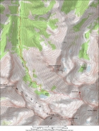
Map of the route, just under 11 miles and 4000' elevation gain round trip. |

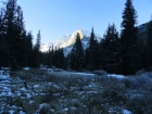
Kane Lake trailhead. |
View of Devils Bedstead West from the valley floor. |

Emerging from the trees. |
Climbing above Kane Lake |
Looking back on an already frozen Kane Lake. |
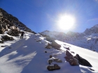
First view of Abel Peak. |
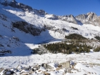
The saddle on Abel's south ridge. |
Looking across at "the diving board". |
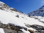
Climbing toward the saddle. |
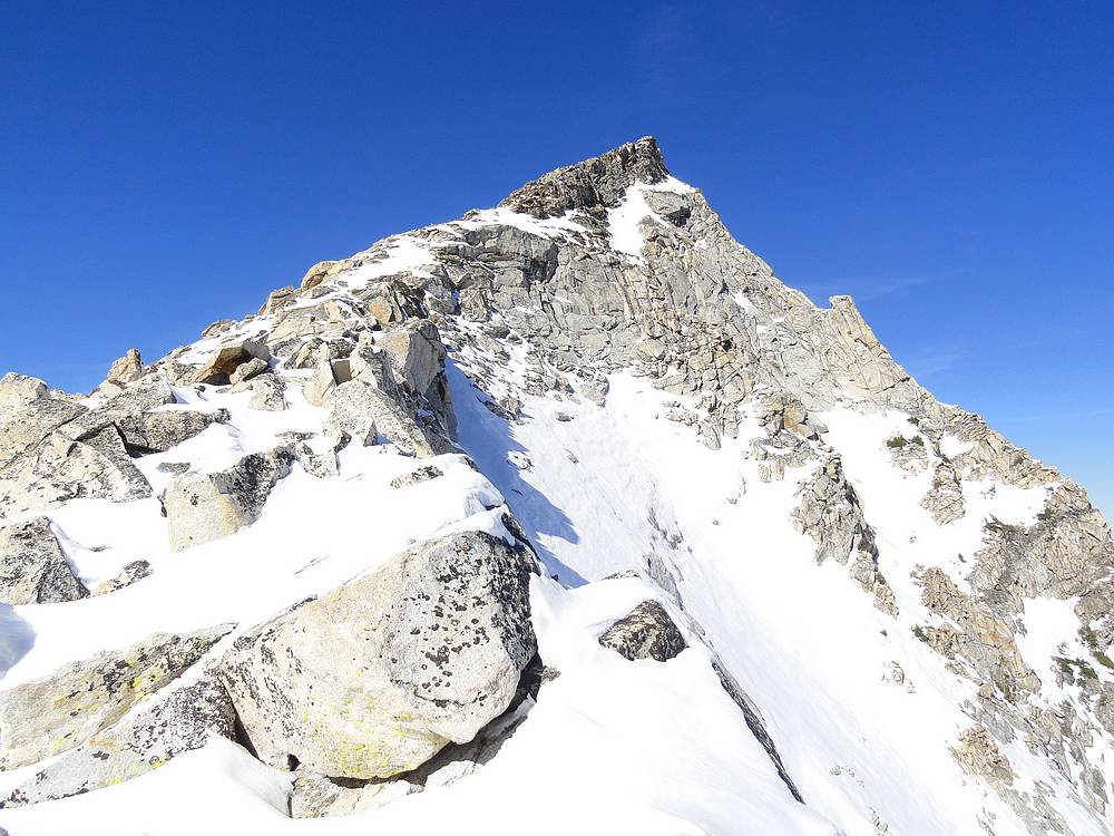
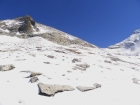
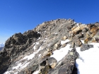
View up the south ridge of Abel Peak. |

Making our way up from the saddle. |
Jumbled rock on the way up the ridge. |
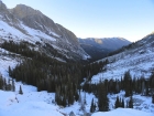
Kane Creek valley from above. |
Constantyn nearing the summit of Abel Peak. |
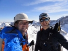
Abel Peak summit victory shot. |

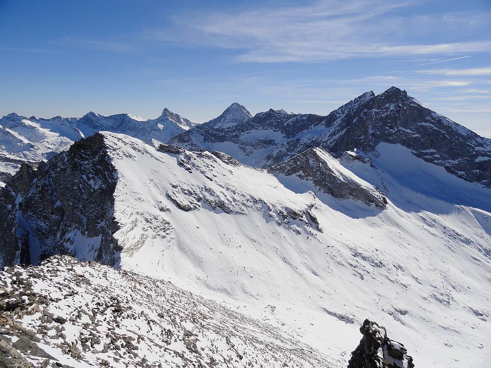
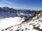
View south from the summit of Abel Peak at the main Pioneer Crest. |
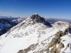
View northwest from the summit of Abel Peak at Devils Bedstead East. |
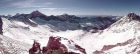
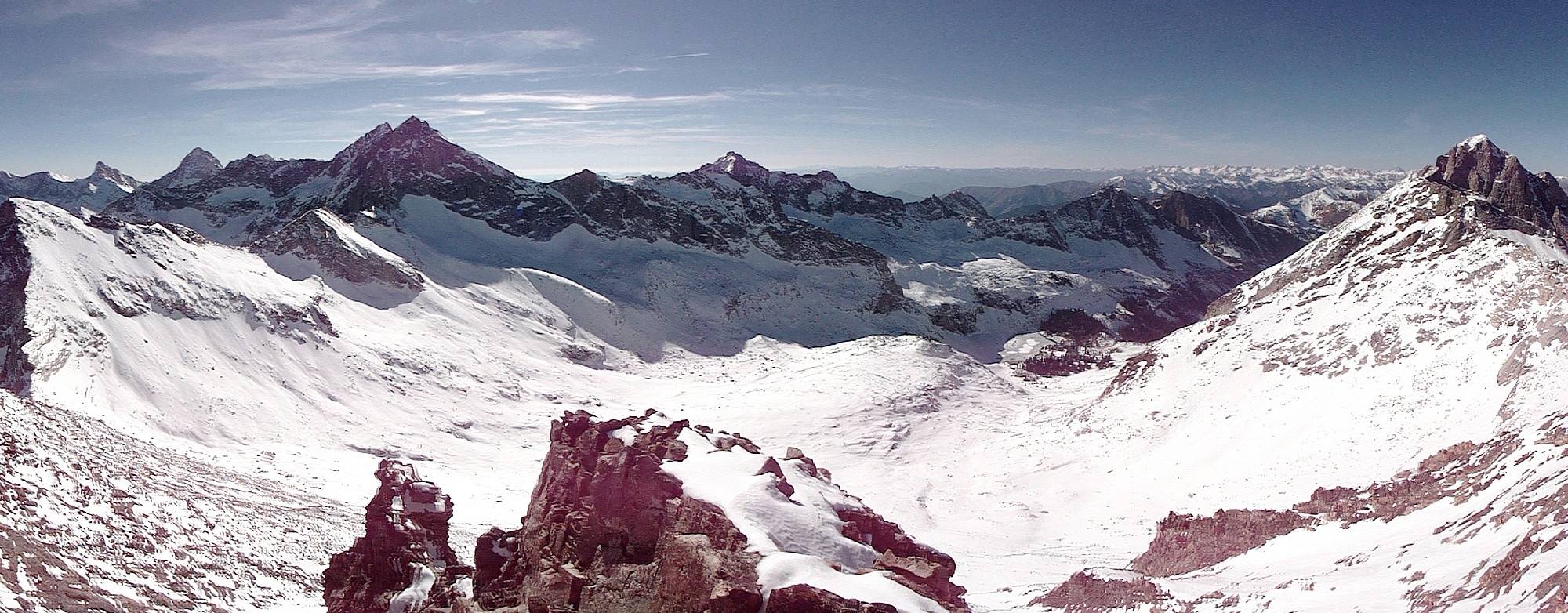
Panoramic view of the Pioneer Mountains from the summit of Abel Peak. |
Looking back down the valley, already in shadows, on our way down. |
| Video Link: Climbing the south ridge of Abel Peak |
| Video Link: Abel Peak Summit Video |
|
|
|