|
Gardiner Peak is a lesser known mountain that sits off the backside of the Boise Ridge, just a bit south of Shafer Butte. The peak itself isn't very prominent, but the surrounding area is highly scenic. This is definitely an under appreciated trail, only about an hour from Boise.
My family has a great little tradition of going for a hike on Father's Day every year. This year's hike on the Gardiner Peak trail could be our best one yet. We drove up 8th Street to get to the Boise Ridge Road, then headed north past Eagleson Summit to reach the trailhead at "Peace Sign Rock". The drive was a fun adventure, but I'd recommend the easier/faster drive up Bogus Basin Road instead, which is the way we drove back.
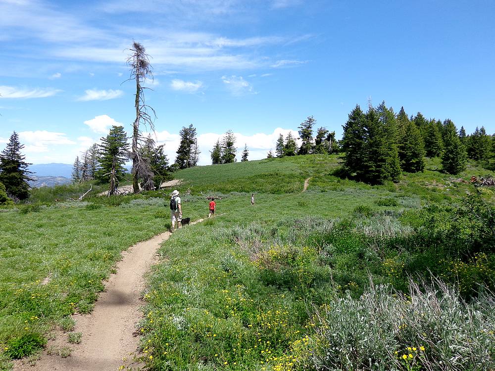
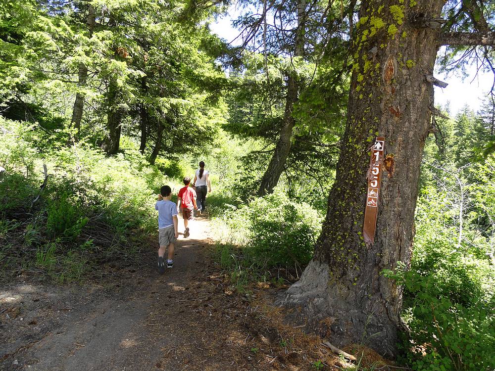
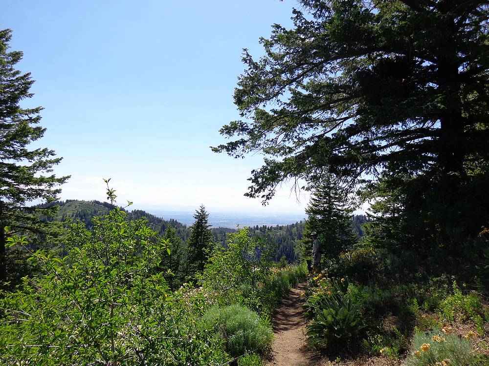
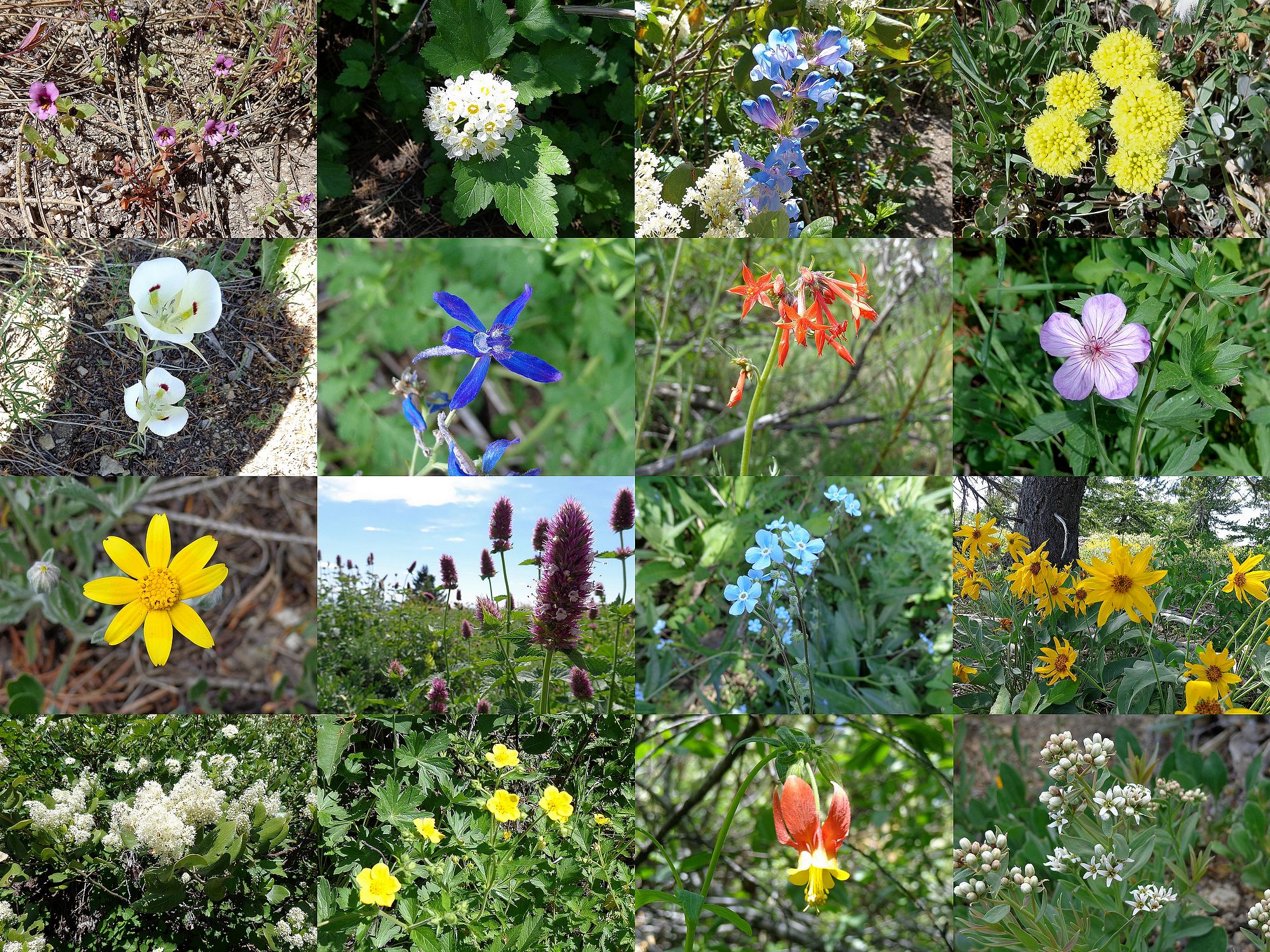
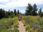
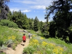
The trail starts off in the trees with a mixture of sun and shade along the way. The trail doesn't seem to get much use, just enough to keep from getting overgrown. Watch out for mountain bikes, and the trail is open to motorcycles as well. Along the way there were several open areas to allow for good views, we even got a glimpse of the Sawtooths in the distance at one point. Probably the highlight of the day was the wildflowers, we saw close to 20 different types.
There is a little bushwhacking if you want to hike up to the actual summit of the peak. From the obvious saddle, follow the trail south for about 100 yards, then look for a weakness in the brush (there is no trail), and head uphill to the east through the brush for about 50 yards until you reach easier going under the trees. Then just head uphill until you reach the summit, marked with a cairn and register. (Although if you look at my GPS tracks, you can see I made it much harder than this.)
We all had a great time on this hike. The kids enjoyed the gentle trail through the trees, and my wife and I enjoyed checking out all the wildflowers. The mix of shady forest and open meadows was great. The final stamp of approval on the way back was an unsolicited proclamation from my 9-year-old who said "Great choice on a hike Dad." Made my day.
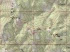
Map of the route, just under 5 miles round trip with 800 feet elevation gain. |
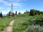
Trailhead at Peace Sign Rock. |

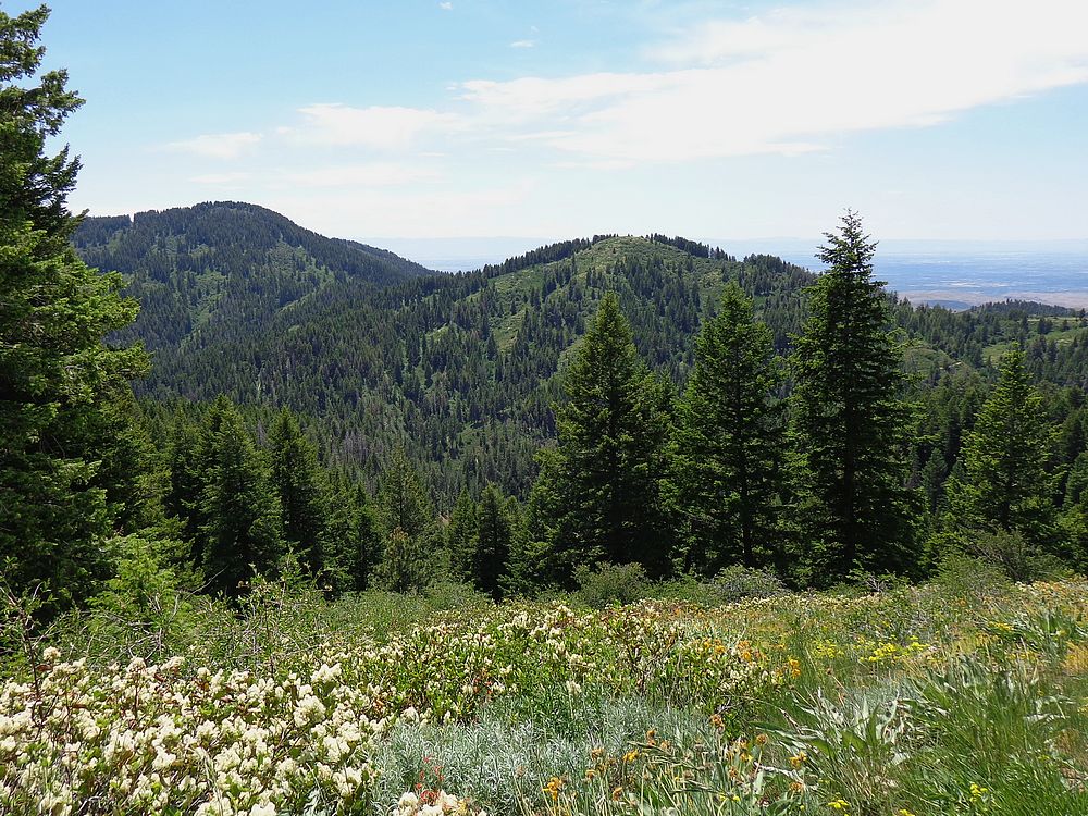
View of Boise Peak and Treasure Valley. |
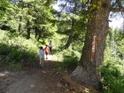
Nice hike through the trees. |
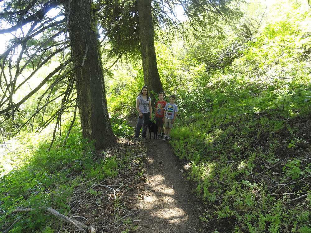
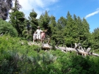
Father and sons. |
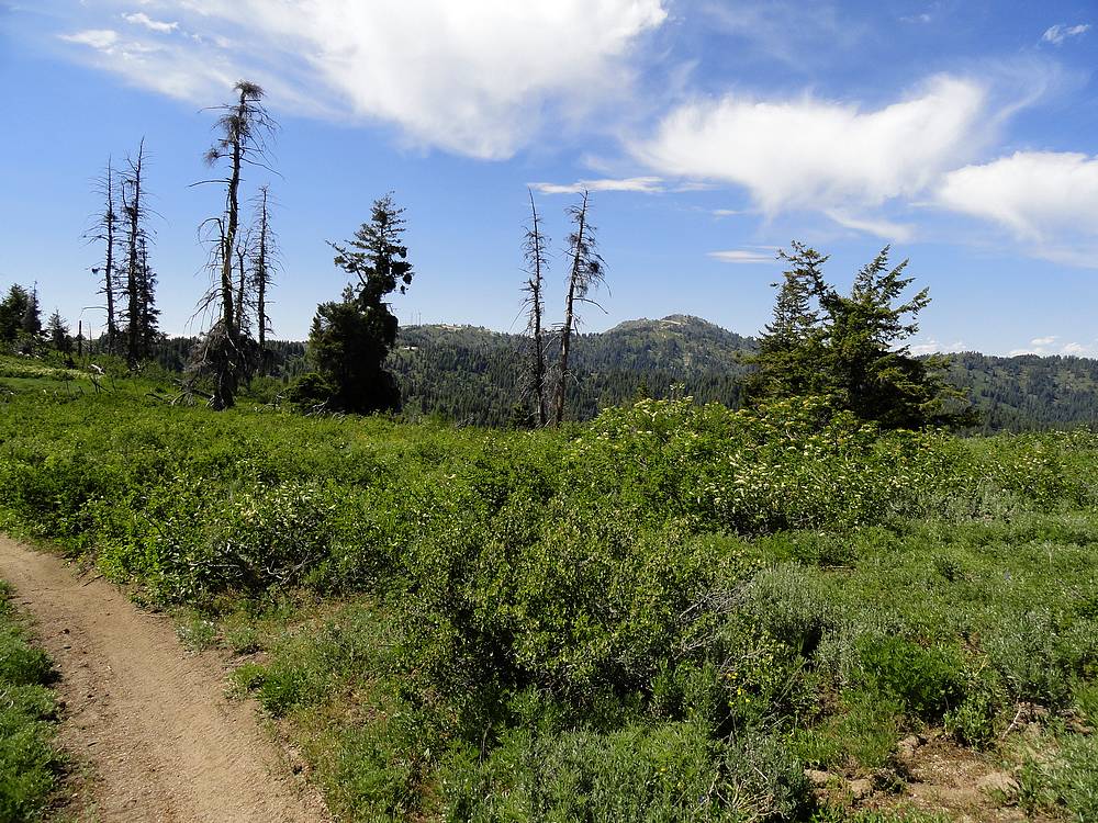
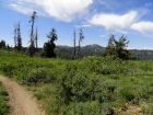
One of several meadows we passed through. |
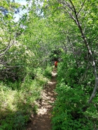
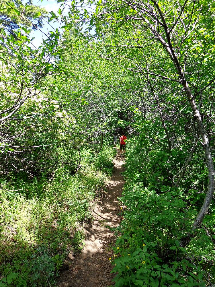
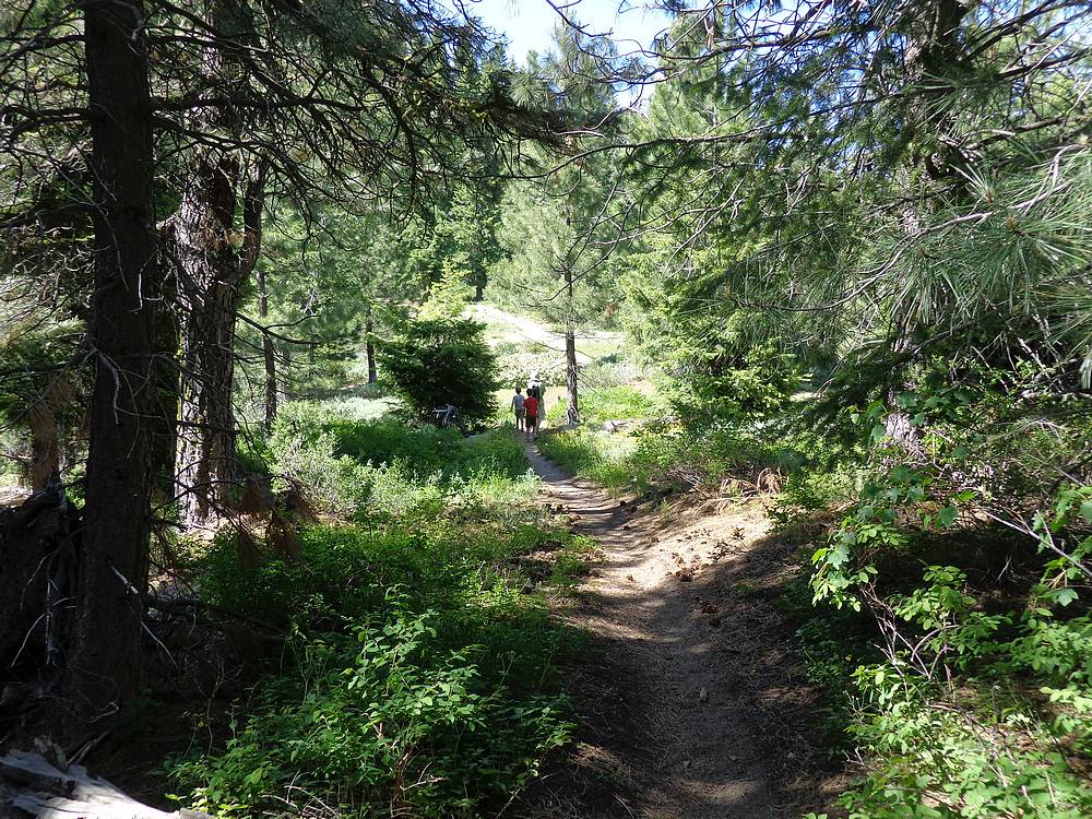
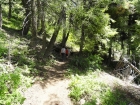
Tunnel like trail. |
About half way there. |
Posing for a photo op. |

View of the valley on the way back. |
View of Schafer Butte from the ridge. |
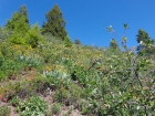
Lots of wildflowers. |
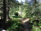
Hiking through the forest. |

Happy hikers. |

Samples of the numerous wildflowers we saw. |
|