|
Perkins Peak is located in central Idaho's Boulder Mountains, north of Ketchum. Its an obscure 11er unofficially named after Edmund Taylor Perkins, who performed some of the earliest topographical mapping in Idaho in the late 1800's. The Boulder Mountains are infamous for their lousy rock quality, so springtime is often a good time to visit when the scree and talus are still partially covered by snow.
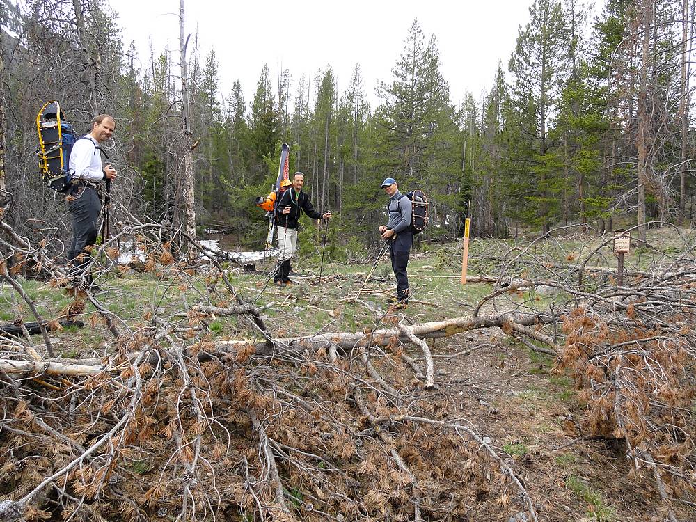
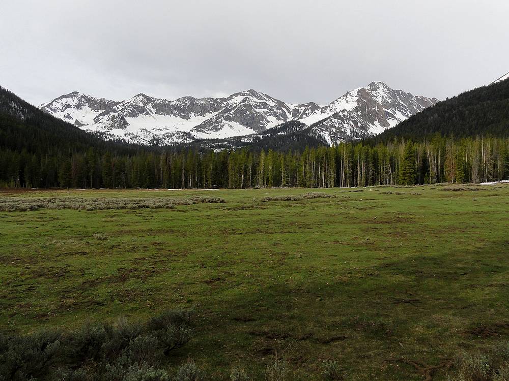
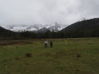
The plan was to try and set a record for the largest ascent party to climb Perkins Peak on a weekday in May during an odd numbered year. The record setting team would be Michael, Chris R, Constantyn, and myself. After an almost four hour drive from Boise to the North Fork Big Lost River, including a few stops to move fallen trees, we started hiking at about 8am. The first three quarters of a mile was pretty flat and easy hiking on an old road. We had a good view of Perkins in the distance. It was a very low snow year, but we could still see a few good lines leading to the saddle between Perkins and Kent. Although we weren't sure if there would be enough snow for Chris to make a good ski descent.
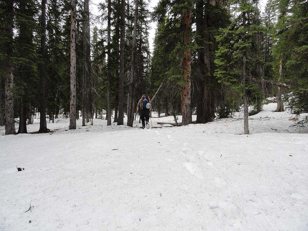
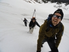
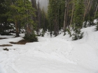
The easy hiking was short lived when the trail ended and we entered the trees. There was more snow in the shade of the forest, and lots of deadfall that made for plenty of postholing as we took a winding path through the trees. We made our way along the crest of a minor ridge on the northwest side of the valley, and progress was slow. After a couple hours of this, we finally made it to the tree line at about 9000 feet, with a good view of Perkins.
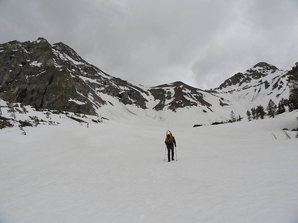
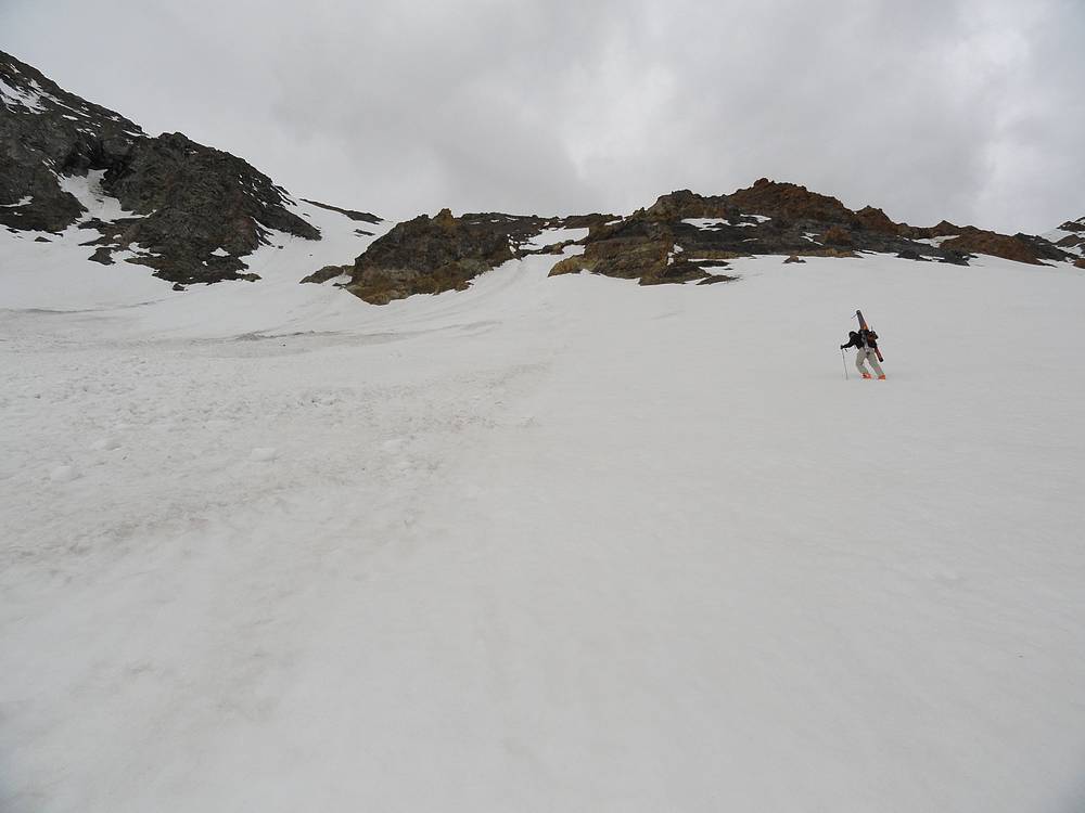
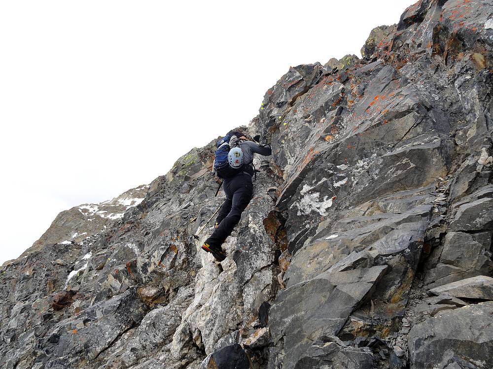
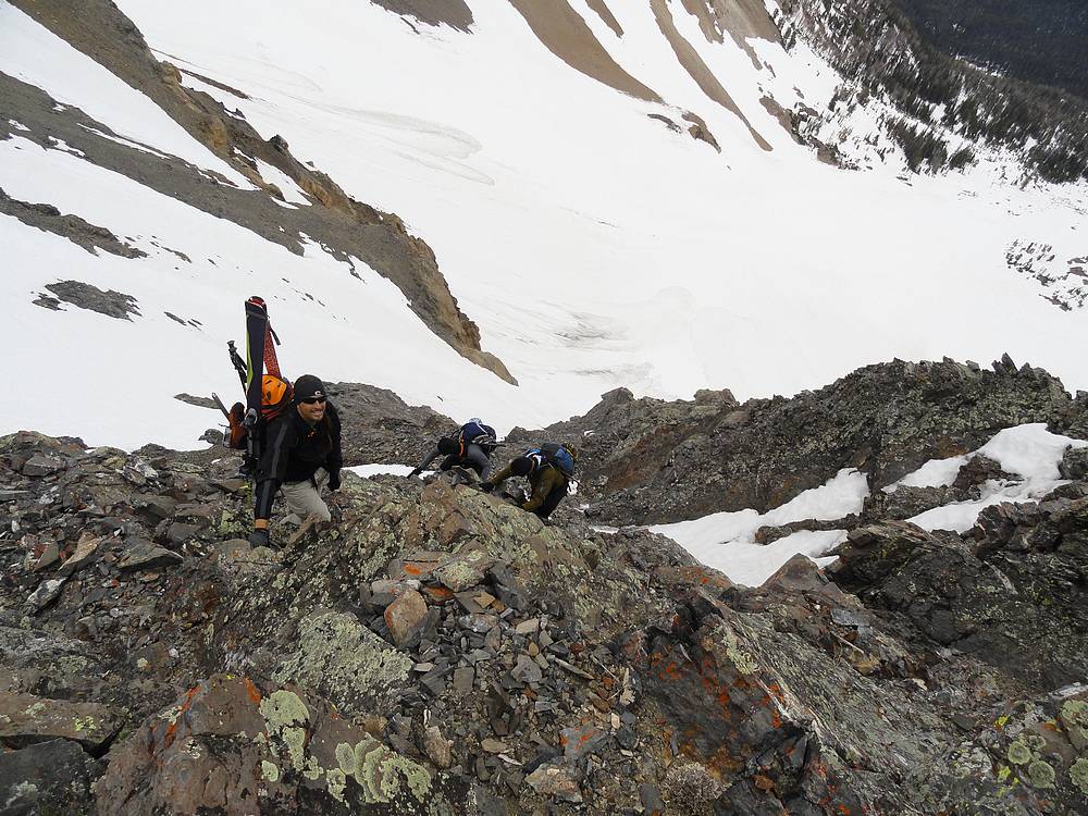
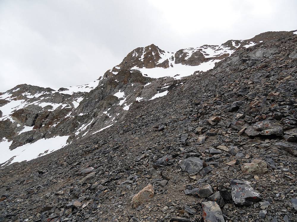
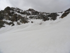
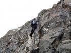
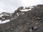
The cirque below Perkins and Kent Peak was impressive. There were a couple options for reaching the ridge, and we chose a thin snow gully on climbers left. Initially the snow was very good. We kicked good steps and didn't need to put on crampons even with a slope that neared 45 degrees. But as we got higher in the gully, the snow became rotten and we struggled to wade through it. So we headed over to a rock rib on our left that looked climbable. Once on the rock, we found that solid holds were few and far between. The rock looked good, but it just pulled apart, so we had to scramble carefully so as not to kick loose a rock on the person below. Then we got to the top of the rib and were treated to a classic Boulder Mountains scree and talus field. Good times.
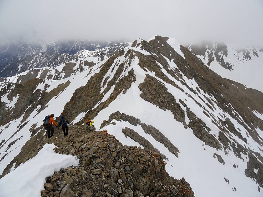
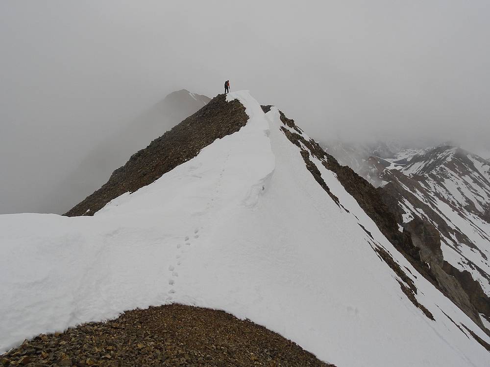
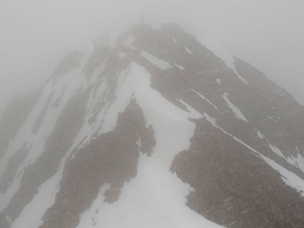
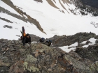
We struggled our way up the loose rock, and eventually reached some snowfields higher up that make the climbing a little easier. But the wind was howling and we found ourselves in the midst of a brief but fierce May snowstorm. It was a relief when we finally reached the ridgeline, and the traverse from Point 11192' was the best part of the day. We could see the summit in the distance, with a few ups and downs along the ridge. The ridge scrambling was straightforward, and we made it to the summit without incident.
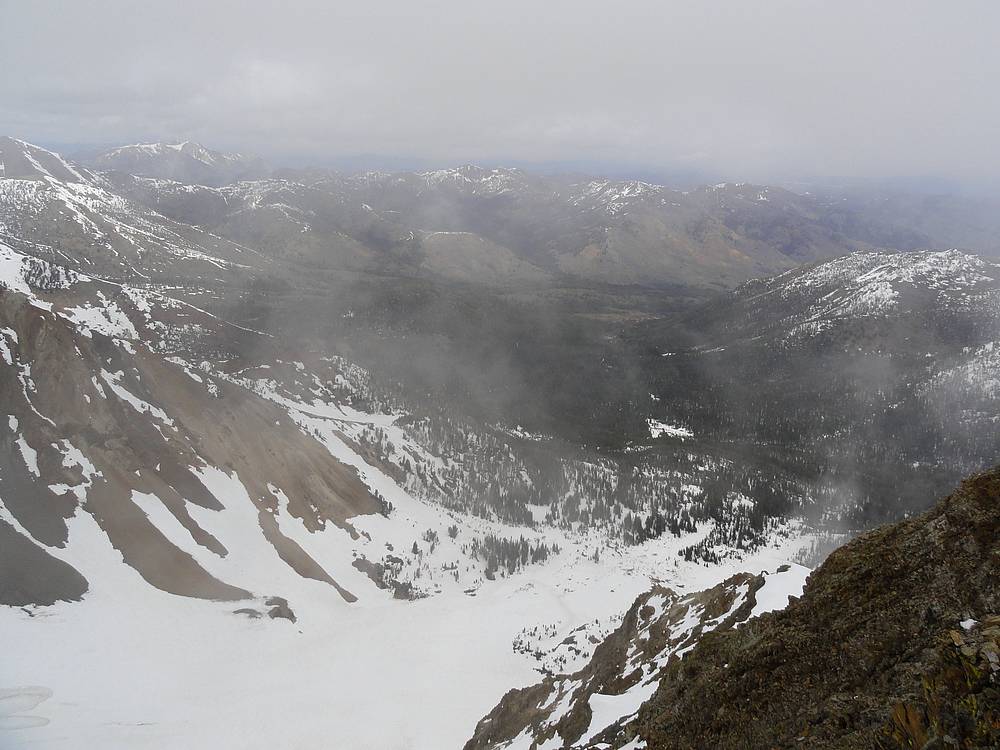
The summit itself was pretty well fogged in, so the views were minimal. But the wind had died down considerably, so we were able to enjoy lunch in relative comfort. Thanks to the variety of challenges along the way, it had taken us six hours to cover the five miles and 3300 feet of elevation gain. Needless to day, we didn't set any speed records.
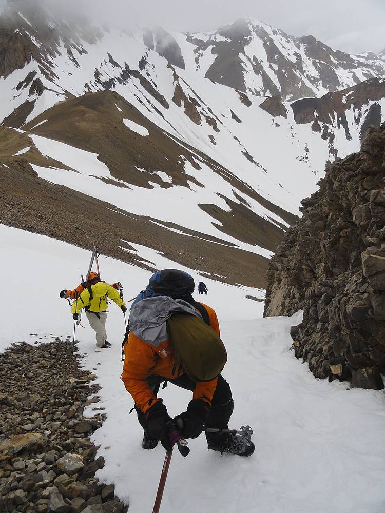
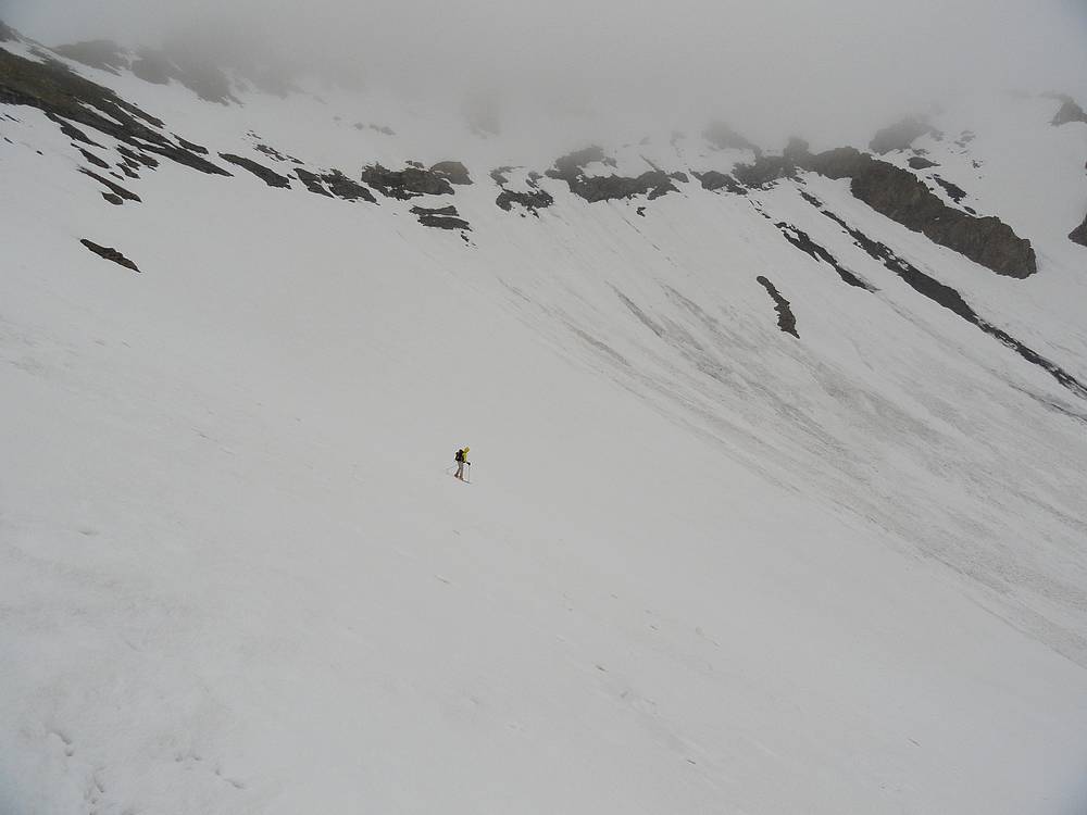
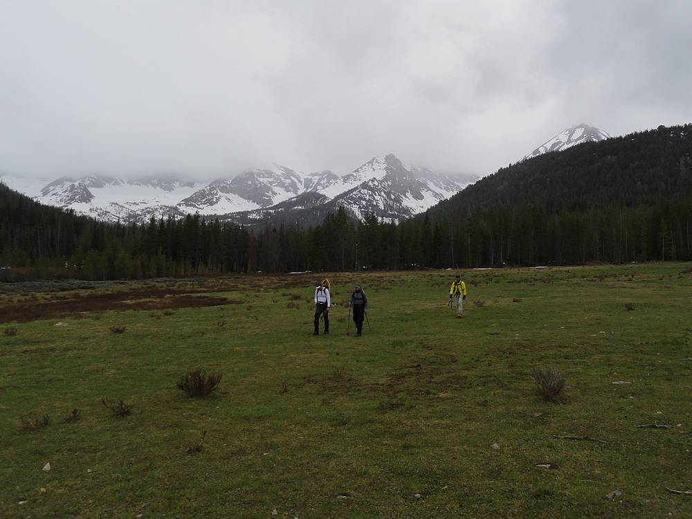
On the way down, we decided to head further northwest along the ridge toward Kent Peak before descending into the cirque. The snow was pretty rotten, but Chris still strapped on the skis and gave it a go. The snow got a little more supportive further down, but it was still less than stellar. We decided to take different route on the way back, and headed more toward the valley floor. Eventually we happened upon an unmapped trail that took us back to the road leading to the trailhead. This was much faster going than the winding route through the trees that we'd used on the way up.
It was almost 5 o'clock by the time we got back to the car, total time was about 9 hours to cover just under 10 miles round trip. It was nice to change out of wet clothes and get on our way. A dinner stop at KB's on the way home was a definite highlight.

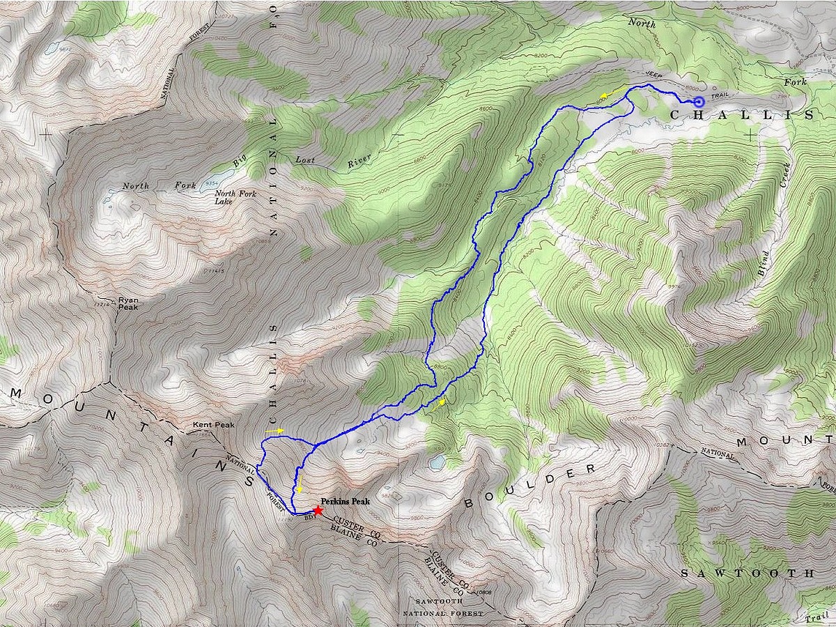
Map of the route, just under 10 miles round trip with 3300 feet elevation gain. |

Leaving the trailhead. |
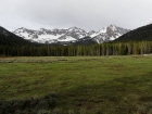
Good view of Perkins from the valley. |
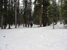
Entering the trees, let the fun begin. |
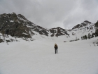
Cirque below Perkins and Kent. We went up the snow gully just left of center. |
Recent slide activity below the north face of Perkins Peak. |

Climbing toward the gully. |
Entering the gully, probably about 40 degree slope. |
Looking for some solid rock to hold onto. |
Scrambling up the rock next to the gully. |
Lots of loose scree and talus on the way to the ridge. |

More snow climbing as we neared the ridge. |

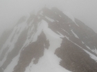
First view of the summit through the fog. |
Blowing snow as we made our way to the summit. |

North Fork Big Lost River valley from the summit of Perkins Peak. |
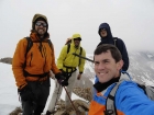
Colorful group on the summit of Perkins Peak. |
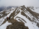
Making our way back across the ridge. |
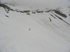
Chris skiing below the east face of Kent Peak. |
Heading back into the trees. |
On the home stretch, Perkins in the clouds in the background. |
|