|
Peak 11967'
Elevation 11,985'
The majority of high peaks in Idaho have official or widely accepted unofficial names. Not so for this one. Known for years as “Peak 11967”, and recently given a new LIDAR elevation of 11,985’, it has also been referred to as “Faith Peak” and “Roberts Peak”. More recently, the name “Mount Dye” has been suggested, to honor Idaho mountaineering legend Lyman Dye, who is thought to have made the first ascent back around 1962. In any case, this giant is the 11th tallest mountain in Idaho and is located in the Lost River Range surrounded by many of the tallest peaks in the state. It is most commonly climbed from the southwest, but this report will detail a climb of the northeast ridge via Pass Lake.
|
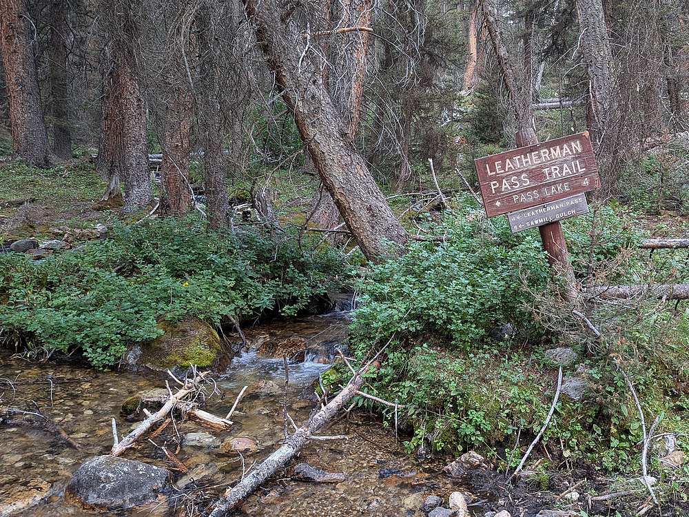
After climbing Sacagawea Peak the prior day, I was up early and hit the trail from the West Fork Pahsimeroi River.
|
|
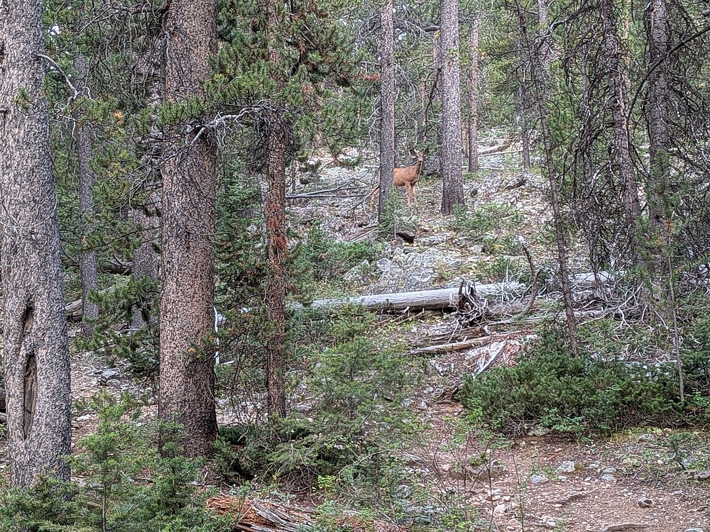
Deer in the trees as I hiked up the trail.
|
|
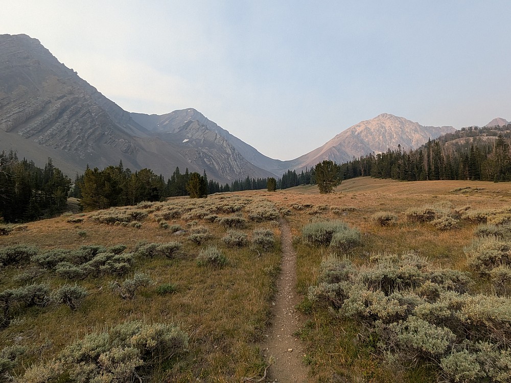
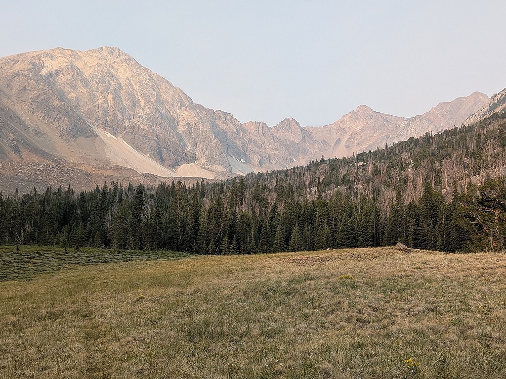
After a couple miles, Leatherman Pass came into view. What a beautiful area.
|
|
Pass Lake is located back in there aways.
|
|
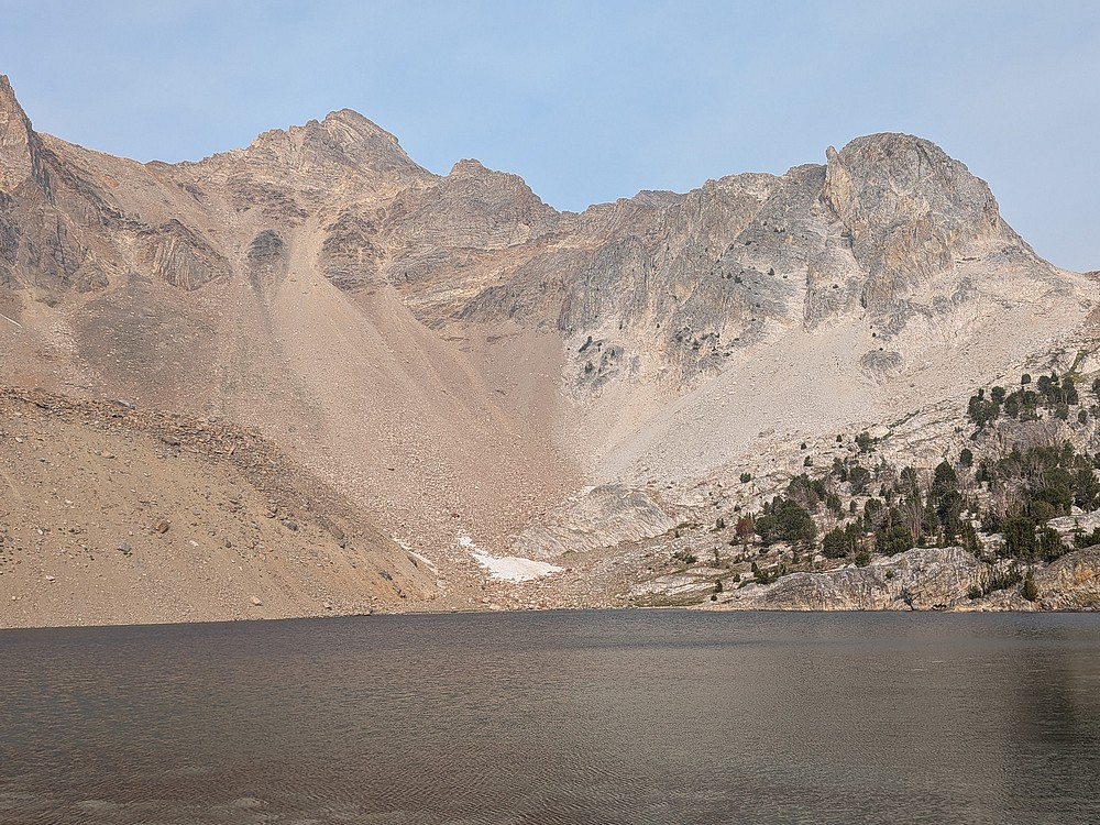
It took just under 2 hours to cover the 4 miles to Pass Lake. The summit of Peak 11967 is just visible from here, but not easy to identify.
|
|
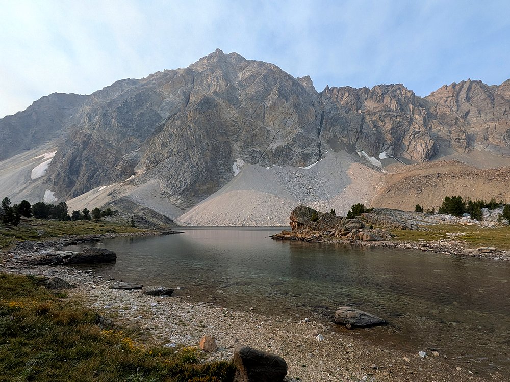
I stopped for a snack near the inlet.
|
|
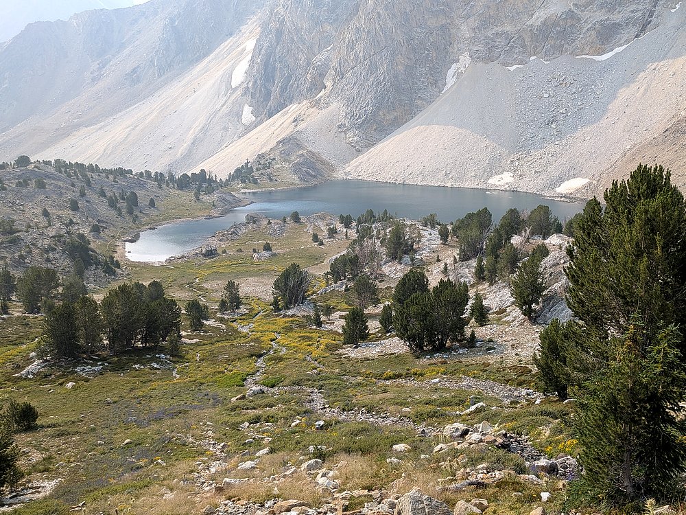
My plan for the day was to attempt the northeast ridge of Peak 11967, a route that Zach J had done a few years ago. To start, follow the inlet stream up the slopes northeast of the lake.
|
|
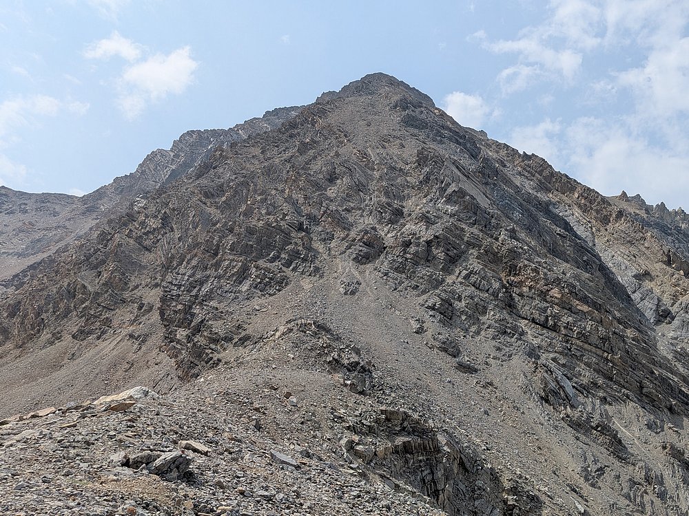
Approaching the base of the northeast ridge, the route seems unlikely.
|
|
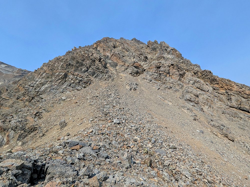
About 1000' feet of vertical to cover from here.
|
|
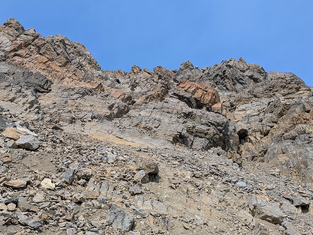
After a little talus, there is a couple hundred feet of class 3 scrambling. Helmet recommended with all the loose rock!
|
|
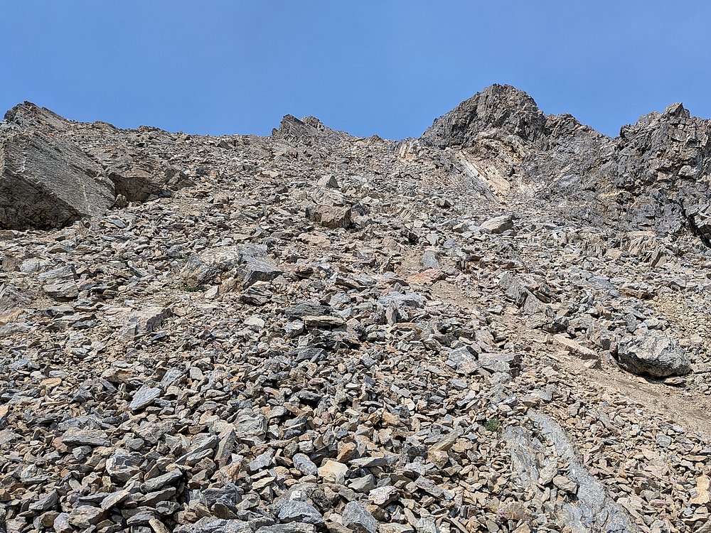
Then a few hundred feet of talus to contend with.
|
|
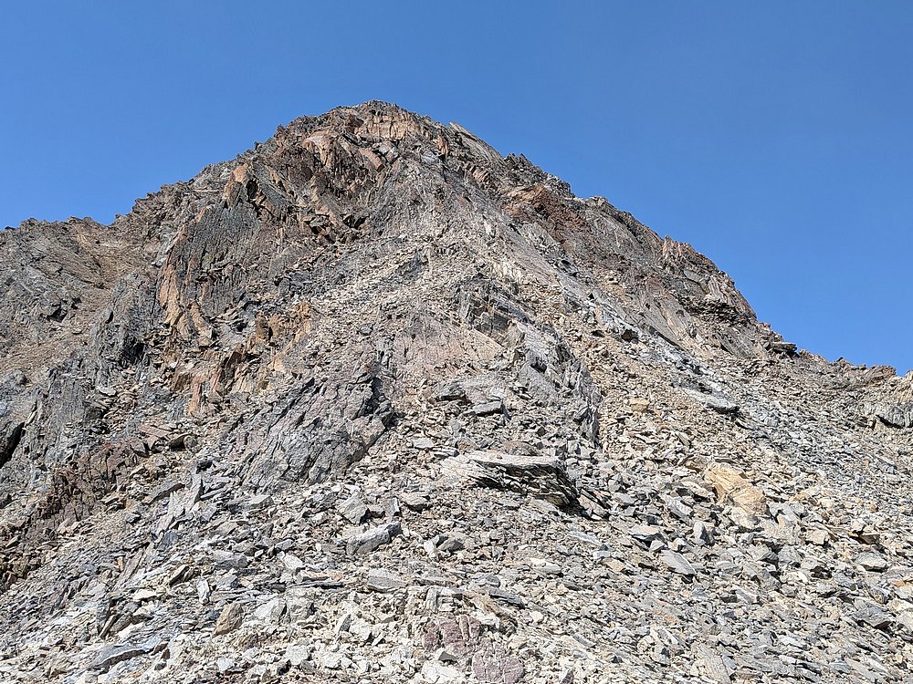
And then the final stretch to the summit is more scrambling.
|
|
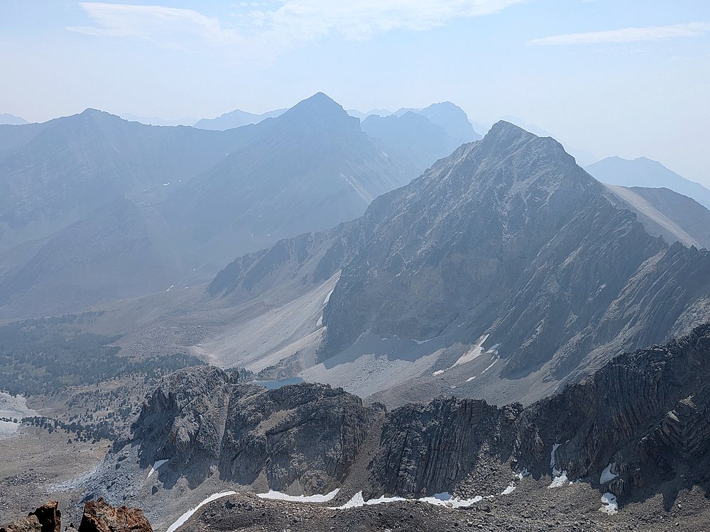
The newly measured highpoint is at the north end of the summit ridge. Here’s the view looking west, including Leatherman, Church, and White Cap Peak.
|
|
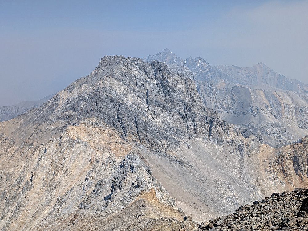
Mount Idaho and Mount Borah to the north.
|
|
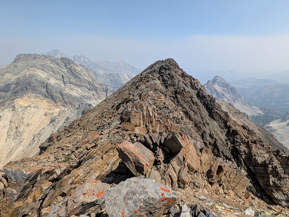
The "old" summit appeared very close in elevation, so I hiked over there for a peek. Its close, but the "new" summit does indeed look a little higher.
|
|
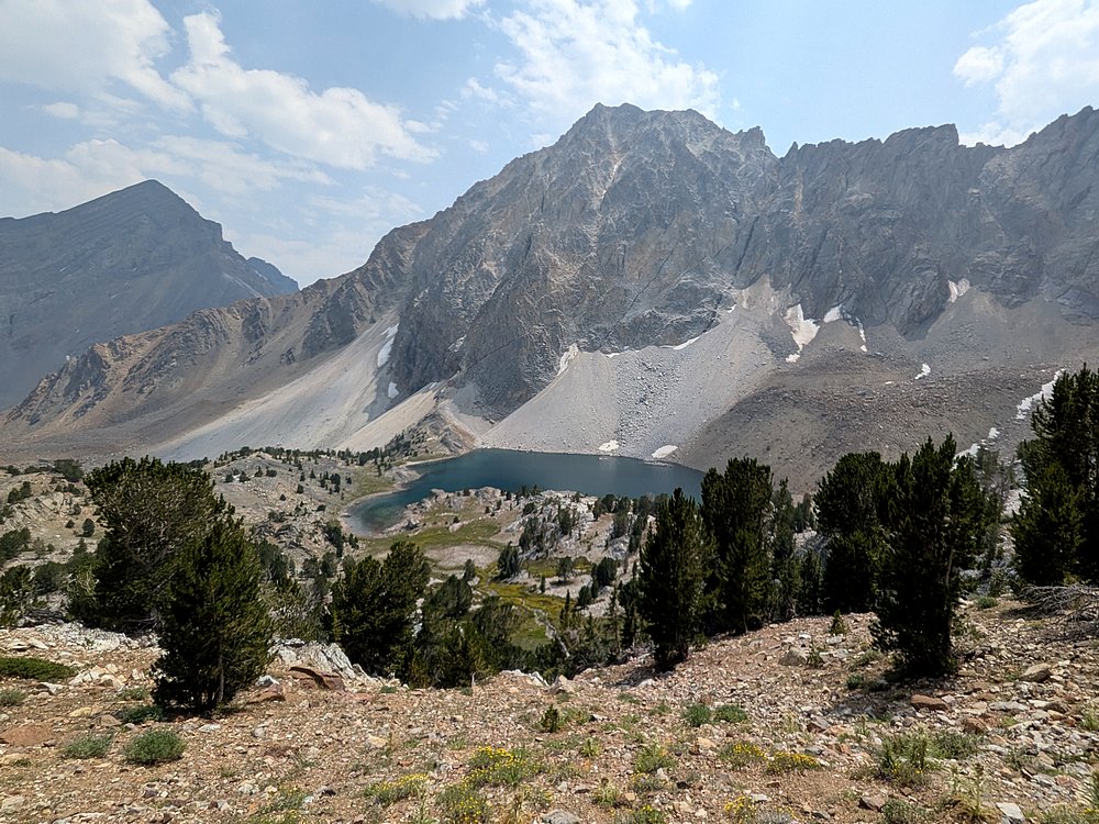
After a PBJ on the summit, the downclimb was tedious in places, so it was a relief to be back on stable ground above Pass Lake.
|
|
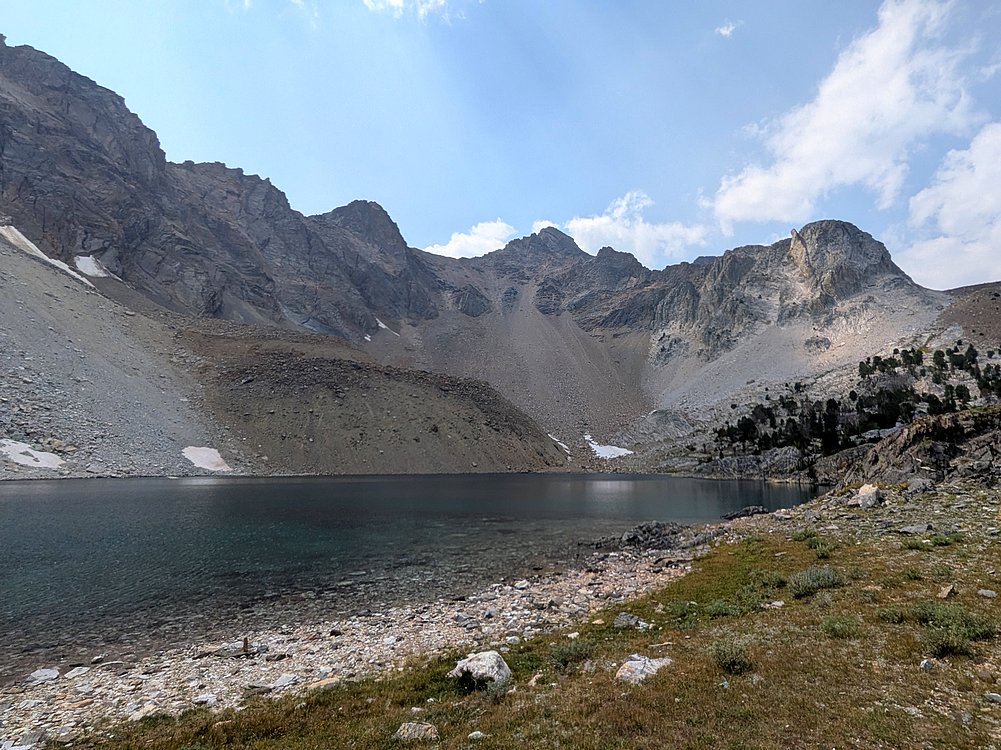
One final photo of Pass Lake before departing.
|
|
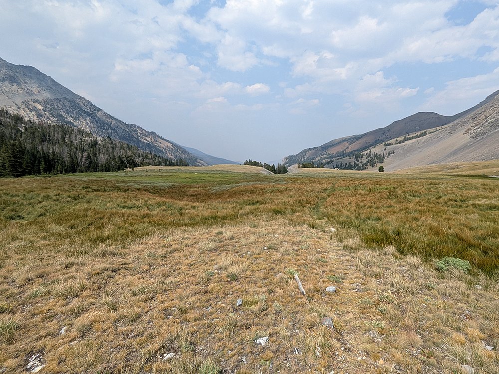
Once back down in the valley, it was just 3 miles of easy hiking back to the trailhead.
|
|
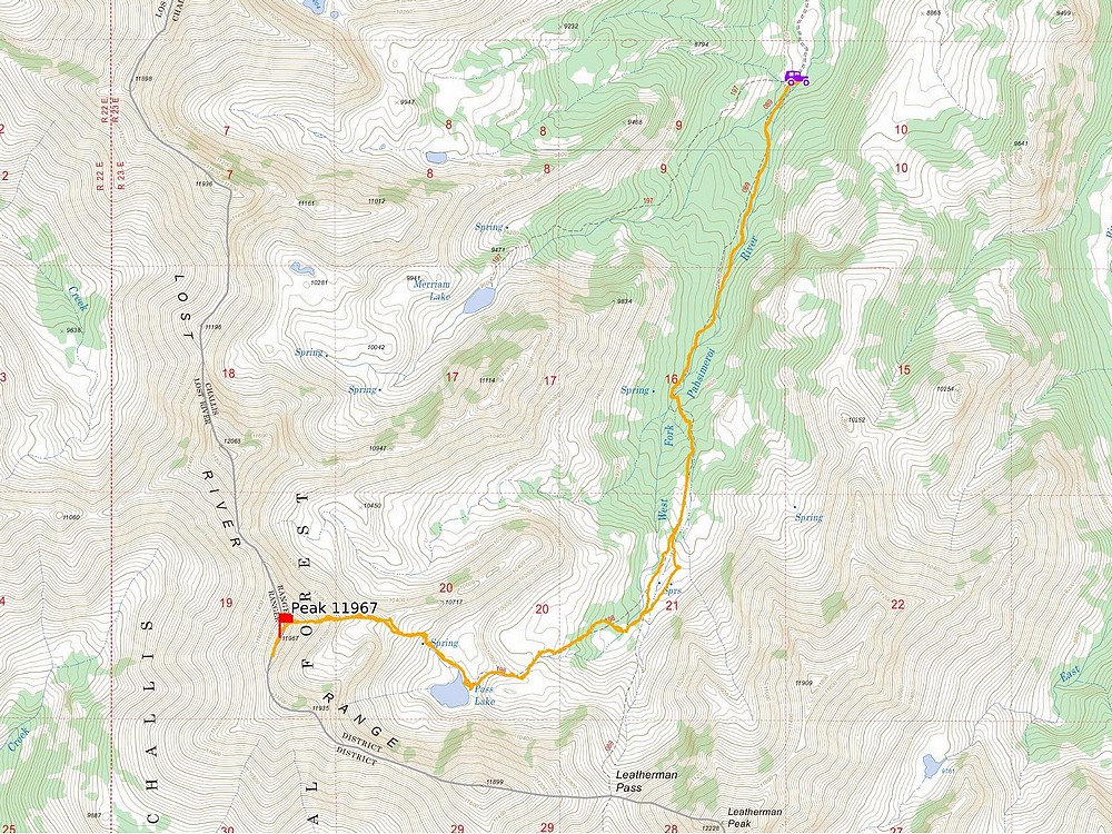
Map of my route. 10.6 miles and 3900' gain, in 8.5 hours of hiking. Great day climbing an unlikely route!
|
Related Links
|