|
Howe Hills
Eastern Idaho’s Lost River Range is a massive fault block range stretching from Challis to Arco. In the far southeast corner of the range, there are 3 small peaks near Howe, that make for good leg stretcher hikes. The 2 southernmost peaks can be combined into a single outing that’s just over 3 miles of hiking.
|
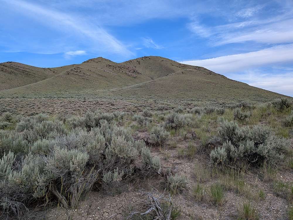
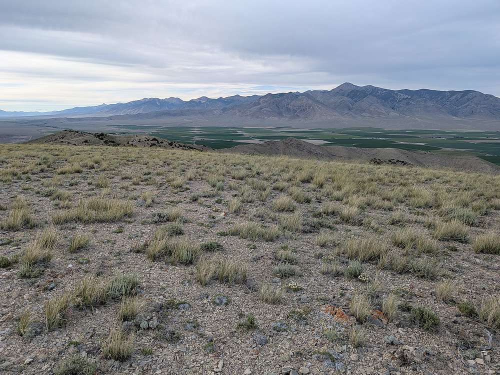
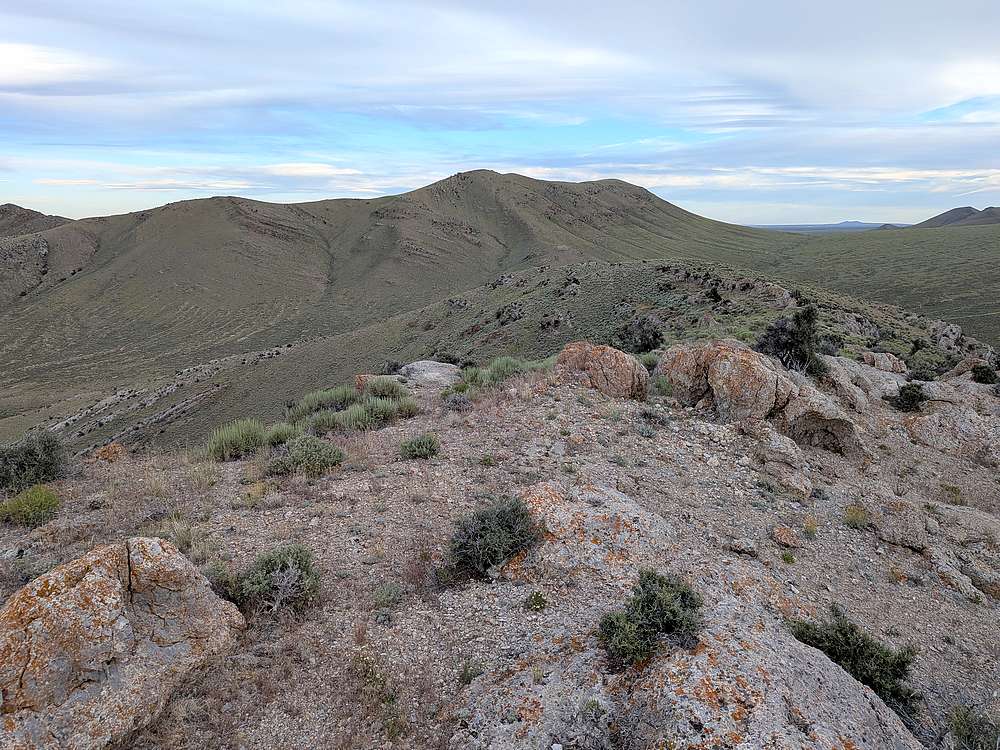
I was making the drive to the Lemhi’s, and had scouted this hike to do along the way. After passing Howe, I followed road “3720 North”, then a dirt road up to the saddle between the two southern peak. Here’s a view of the southern peak, which I planned to tackle first.
|
|
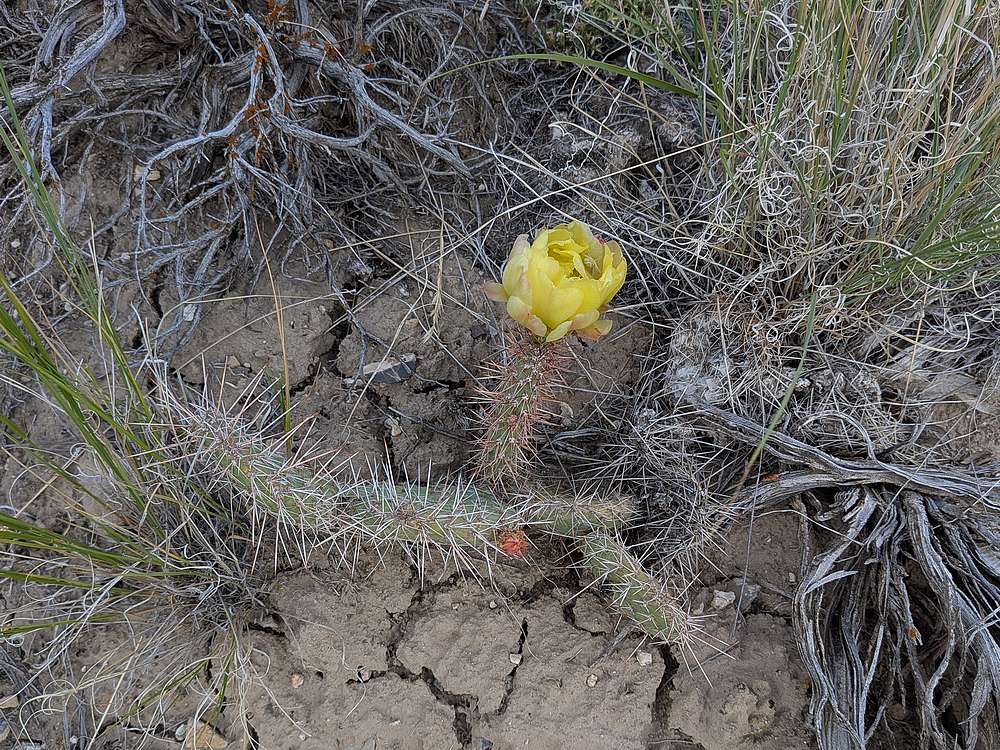
A few cactus blooming on my way up the slopes.
|
|
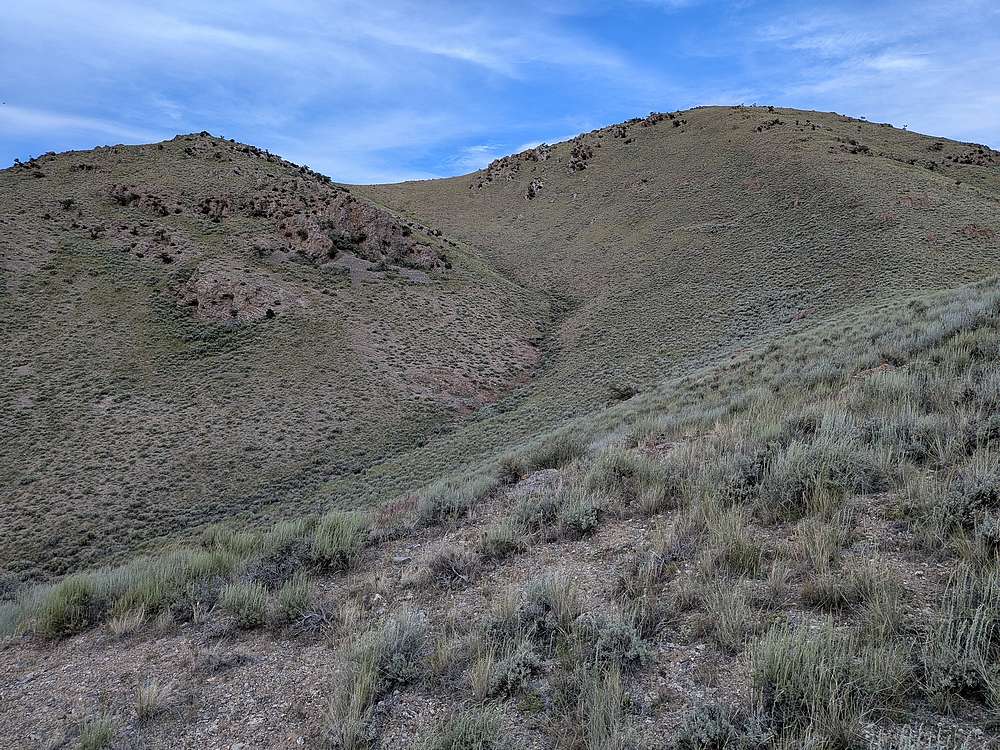
Some uphill, but not bad.
|
|
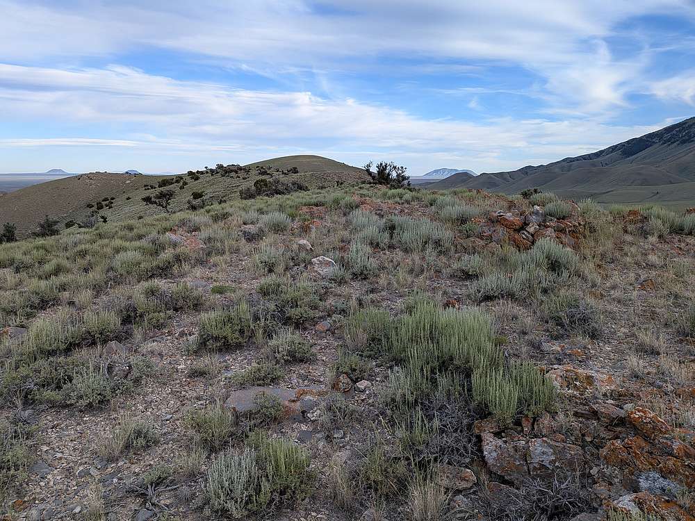
On the summit ridge of the southern peak.
|
|
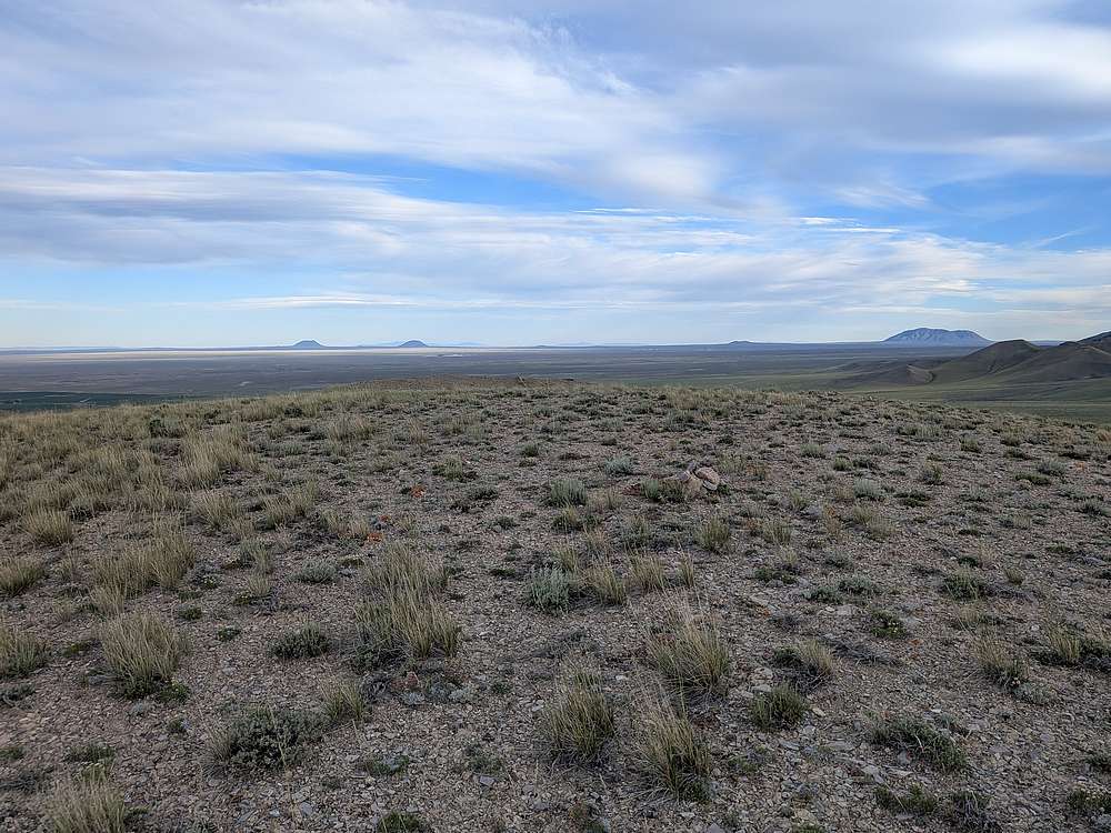
View of Big Southern Butte, from the rounded summit of the south peak.
|
|
The Lemhi Range. From Bell (distant) to Saddle Mountain (right).
|
|
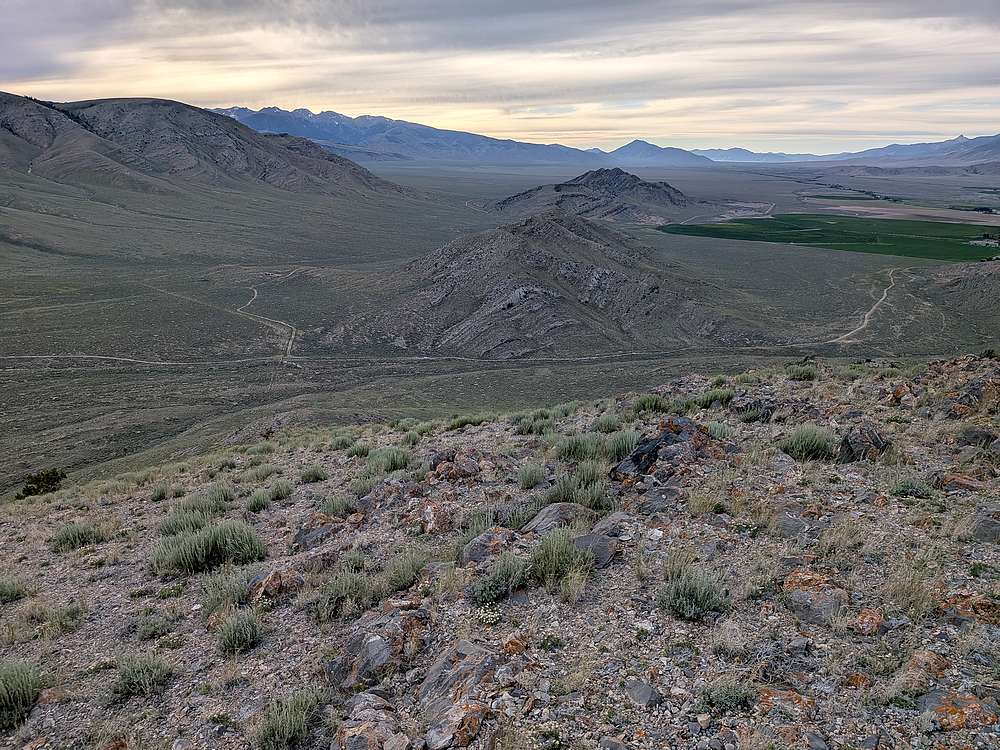
Soon it was time to head back down to the saddle.
|
|
I made a quick hike up the southern slopes, to the summit ridge of the middle peak.
|
|
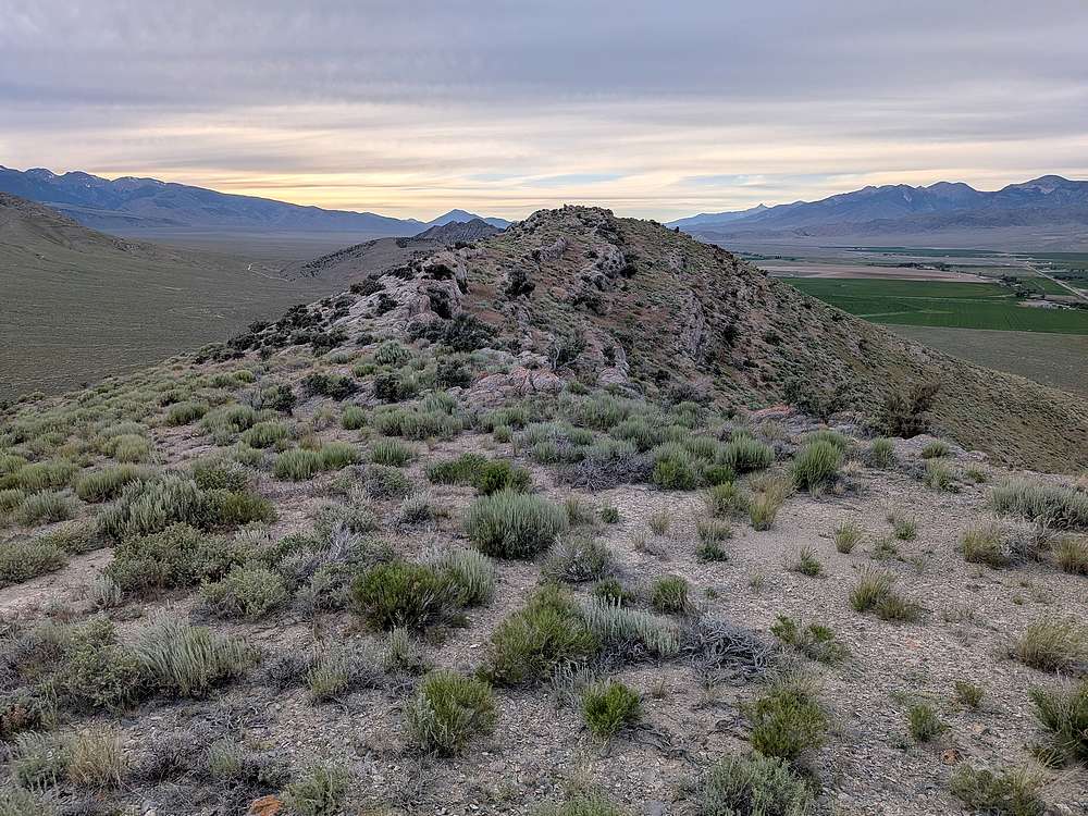
Here's a view of the south peak, from the middle peak. Time to head back to the truck and finish my drive.
|
|
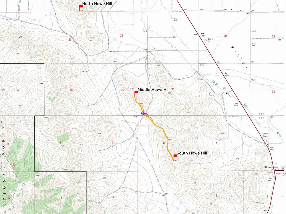
Map of my route. Just over 3 miles and 1200' elevation gain round trip, in 75 minutes of hiking. The views made this one worth the stop.
|
Related Links
|
 |
IdahoAlpineZone is unofficially sponsored by Skippy Peanut Butter.