|
Mount Heyburn is located in the Sawtooth Mountains of central Idaho. It is the stunning crown like peak visible from Redfish Lake. Tom Lopez describes Mount Heyburn as “the best-known Sawtooth peak and possibly Idaho’s most majestic mountain”. The easiest and most popular route up it is the Stur Chimney, a technical climb rated 5.5ish. The route involves 3 pitches of steep but protected technical climbing. Many say the crux is the long approach through fields of loose talus above the upper Bench Lakes.
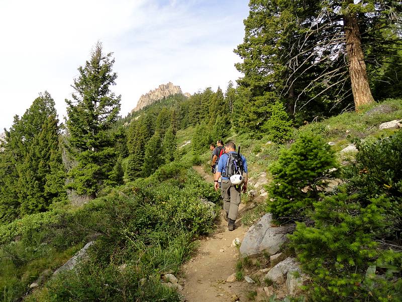
Plans came together with pretty short notice, but a chance to climb Heyburn was too good to pass up. This would be my first technical climb, and a chance to practice for our Grand Teton trip in a few weeks. SeanD, ChrisR, ScottJ and I made it to Redfish by 7:30. We started at the Point Campground, and used a cross-country shortcut that Sean suggested, which save about three-quarters of a mile on the approach. Nice and steep, so no warm up section. We were on the main Bench Lake trail soon enough, enjoying a cool and clear July morning, with occasional views of Heyburn along the way.
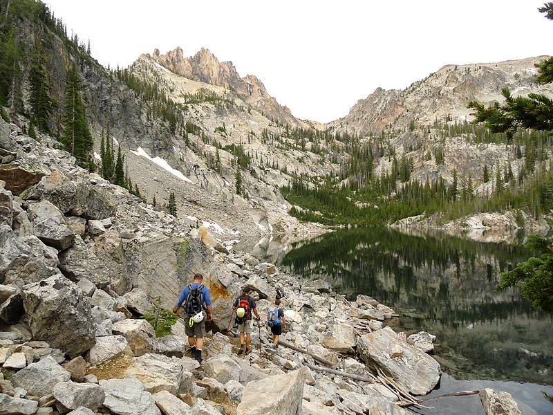
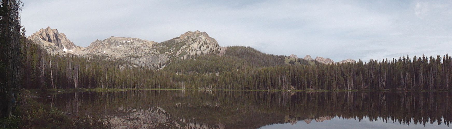
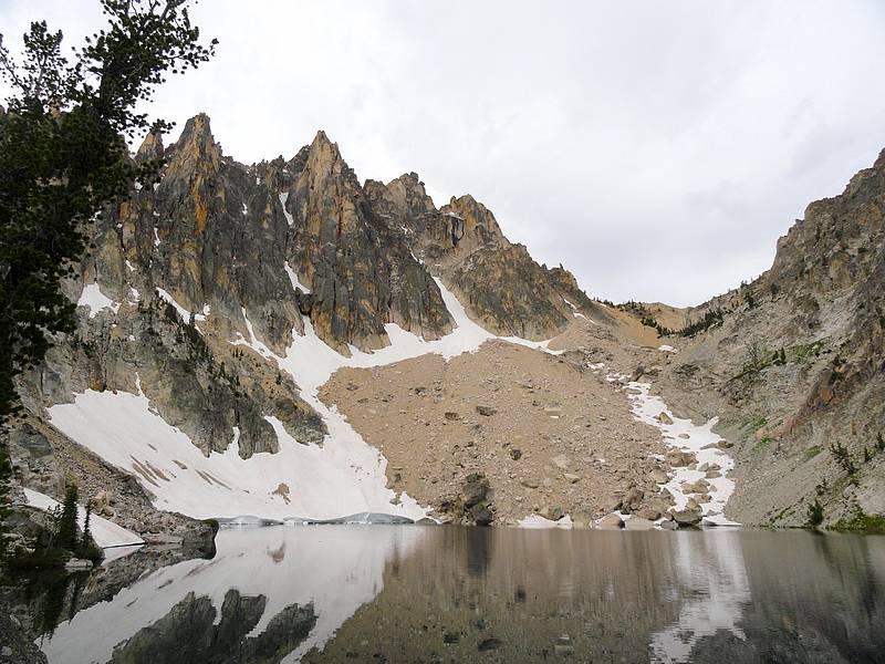
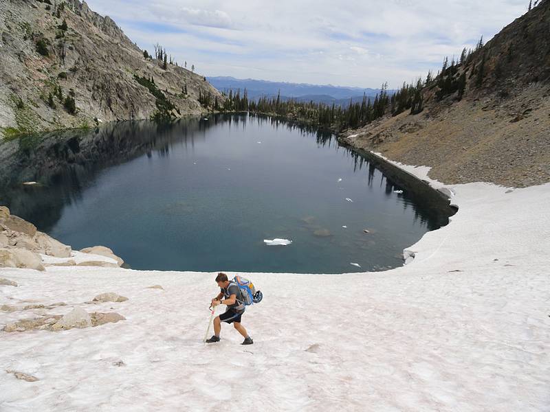
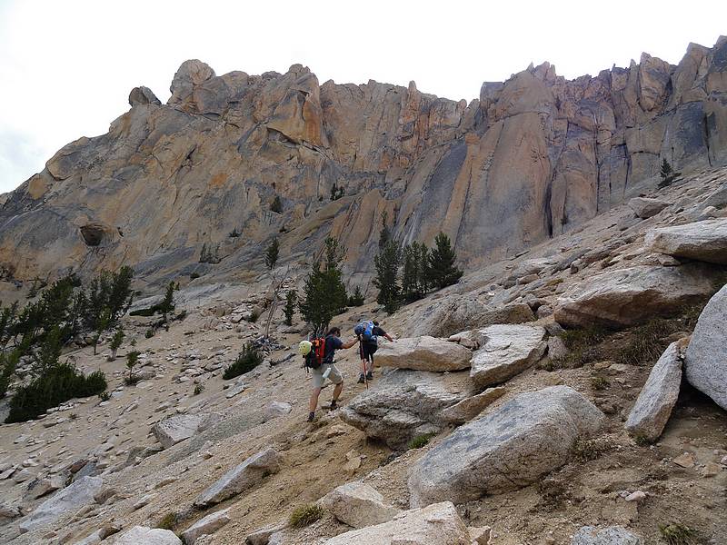
The maintained trail ends at the largest lower Bench Lake, which is very pretty. We followed various fisherman trails to the upper lakes. The trails got fainter as we gained elevation. The highest Bench Lake is extremely scenic, with Mount Heyburn towering above. We angled around the loose talus on the east side of the lake, and then kicked steps across a snowfield toward the south end of the lake. Next came some boulder hopping and scree climbing to reach the saddle above the lake. The views from the saddle were excellent in both directions, and we could see a faint climbers trail leading across Heyburn’s west side to the base of the Stur Chimney.
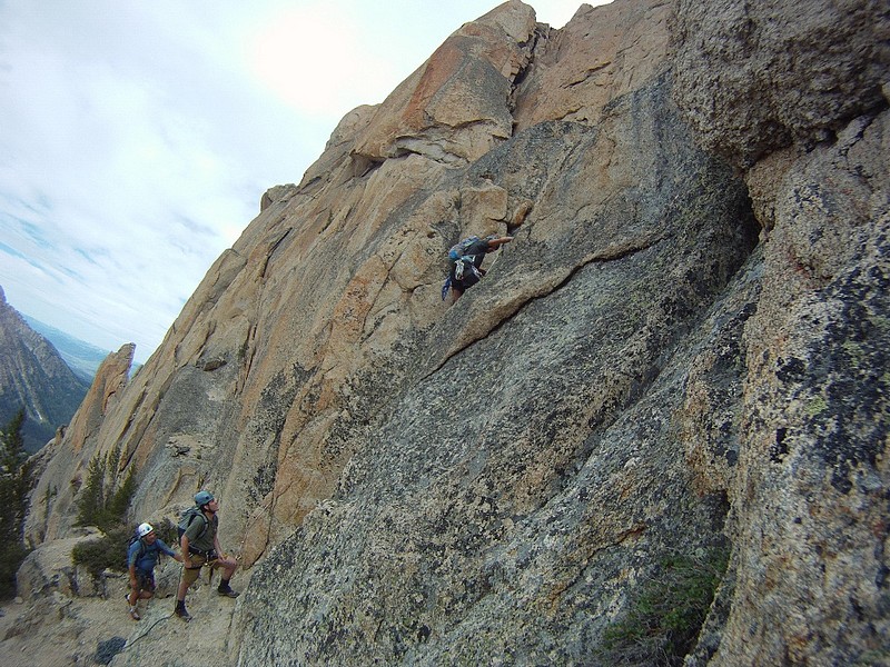
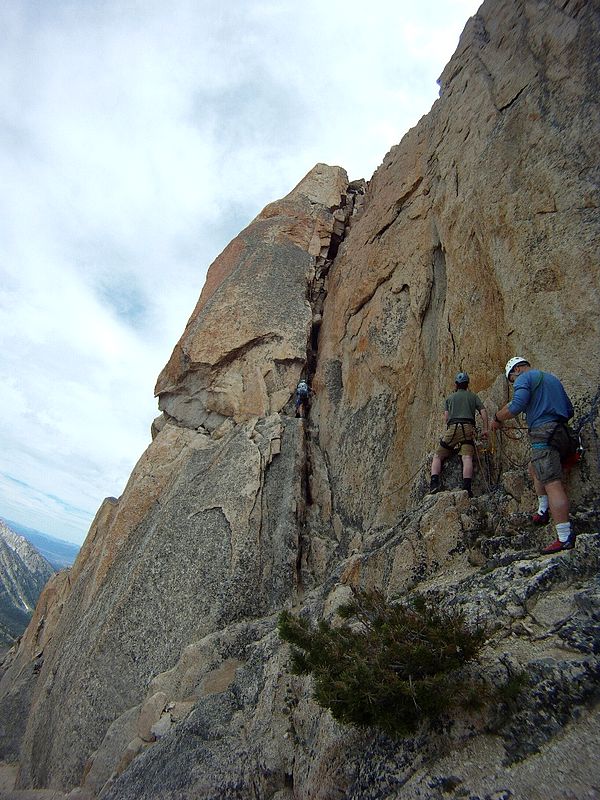
There were some slabs below the chimney that could be free climbed, but we roped up since they were low fifth class. Plus that give me a chance to get a little more comfortable with the rope. Sean led, I followed awkwardly, and then Scott and Chris motored up after me. We were now at the base of the chimney, with a great view of the route. I was admittedly nervous, but ready to climb.
Our plan was for Sean to lead, I would follow and clean the protection on my way up, while trailing a rope for Scott, who would trail another rope for Chris. Sean made the first pitch look easy. Next it was my turn. The others were good about coaching me, but I was pretty slow. I felt like I couldn’t do my own problem solving. I just had no intuition when it came to stem moves, or “trusting the rock” with my footholds, etc. Of course the hiking boots I was wearing weren’t quite ideal for rock climbing. I eventually made it up the first pitch over the chockstone, and slid back into a covered alcove while Sean belayed Scott and then Chris up the pitch.
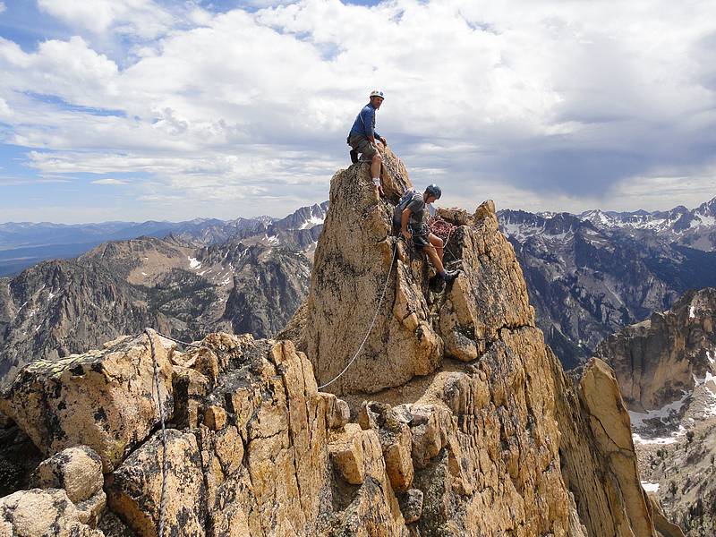
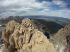
The next pitch was the hardest for me, with an awkward outcropping to get past. I traversed right, then got stuck and couldn’t decide where to go for the next hold. Sean gave me a stern talking to from above, which motivated me to get moving. I actually slipped and took a short fall. It was only a couple foot drop before the rope got tight. That probably helped me loosen up and realize that a slip wouldn’t kill me. I made my way slowly up the rock until Sean came into view on a ledge on the summit tower. The least section was quicker, and I was ecstatic to reach the exposed summit. Scott came up next, and Chris came quickly up last.
There were some storm clouds headed our way, so we didn’t linger on the summit too long. It was time to head down. Scott went first, and then it was my turn. I had only rappelled once so I was pretty nervous. Chris and Sean give me some quick coaching, and then it was time for action. Let’s just say I wasn’t the picture of grace on the first rappel. Unbeknownst to me, Chris was shooting video of this, which I watched later and was very humbled. I did get smoother as I dropped further down and got more comfortable with the process. I actually even began to enjoy it during the second rappel.
Once off the rock, we packed up the climbing gear, and began the long hike back. The faint trails that connected the lakes seemed to take much longer than they did on the way in, and then we had the long march back down the main trail. Once back at Redfish, we all enjoyed jumping off the dock into the lake to freshen up. The 12-mile day had taken us a little over 12 hours, with about two hours of that spent on the technical section. It had been a most excellent day in the Sawtooths.
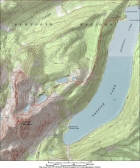
Map of the route, 12 miles round trip with 3700 elevation gain. |
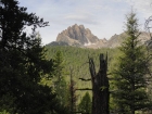
Early view of Mount Heyburn from the Bench Lakes trail. |
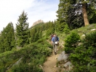
Making our way up the trail. |
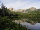
Heyburn as seen from the lowest Bench Lake. |
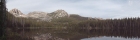
Panoramic view from the lowest Bench Lake. |
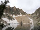
Heyburn towering above the upper Bench Lake. |

July snowfield on the south side of the upper lake. |
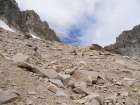
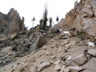
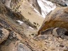
Nasty scree and talus above the upper lake. |
Nearing the saddle to the northwest of Heyburn. |

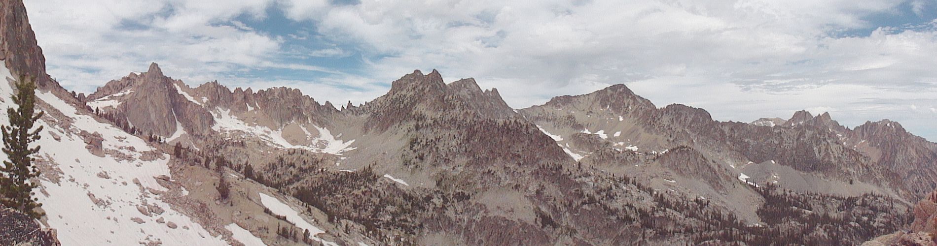
Panoramic view from the saddle, looking west and north. Rotten Monolith, Mount Iowa, Horstmann, and Thompson are all visible. |

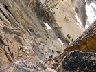
Crossing the sand and scree on our way to the base of the climb. |
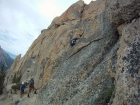
The low 5th class "starter pitch" below the base of the chimney. ChrisR photo. |

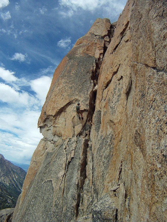
Sean heading up the first pitch of the Stur Chimney. ChrisR photo. |
View out of the alcove from the top of the first pitch. |
Dave trying to figure out the crux move on the second pitch. ChrisR photo. |
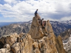
Scott and Sean on the summit of Mount Heyburn. |
Dave and Scott checking out the summit register. ChrisR photo. |
Chris nearing the top of the second pitch. |
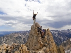
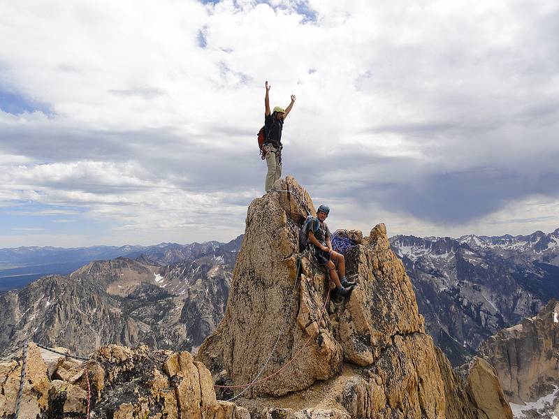
Hero shot of Chris on the summit. |
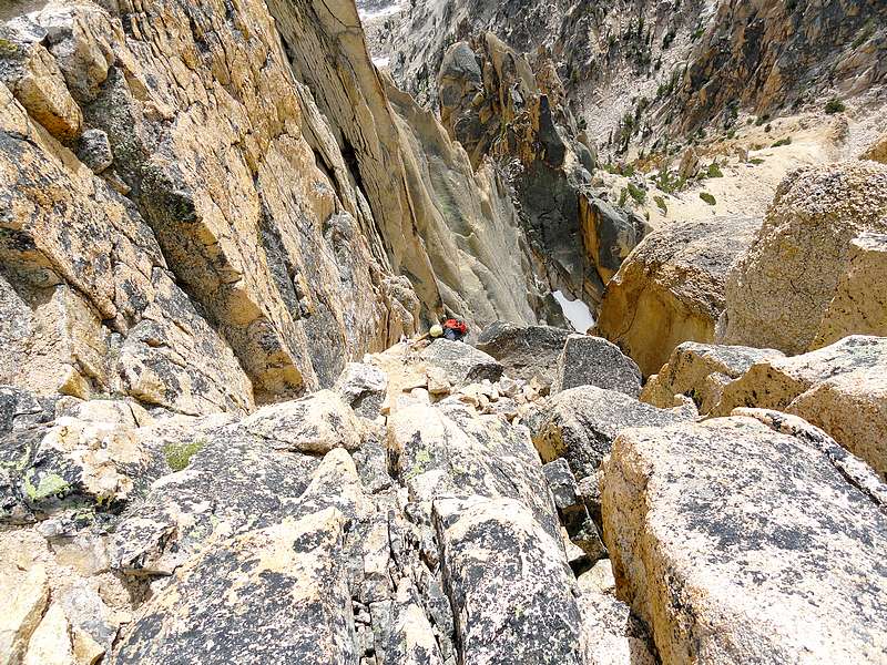
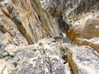
Looking down from the top of the Stur Chimney. |
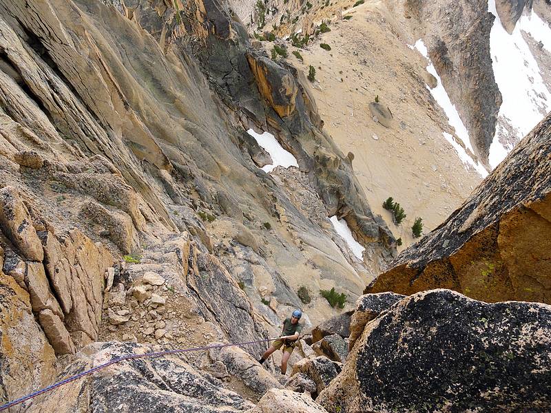
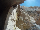
Dave starting the rappel, slow and steady. ChrisR photo. |

Dave nearing the end of the rappel. ChrisR photo. |

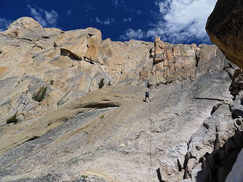
Sean taking advantage of the rope for a quick rappel down the slabs. |

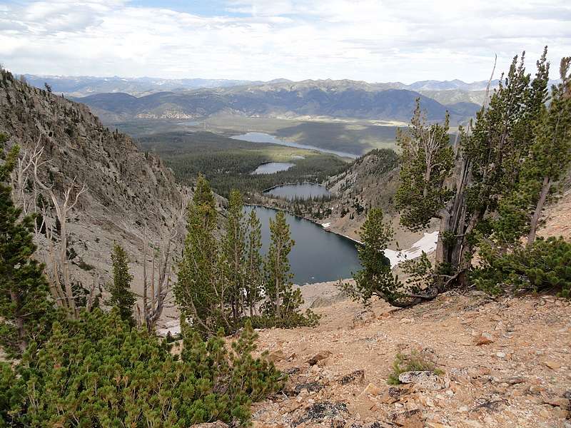
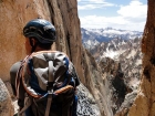
Looking down on the Bench Lakes, Redfish in the distance. |

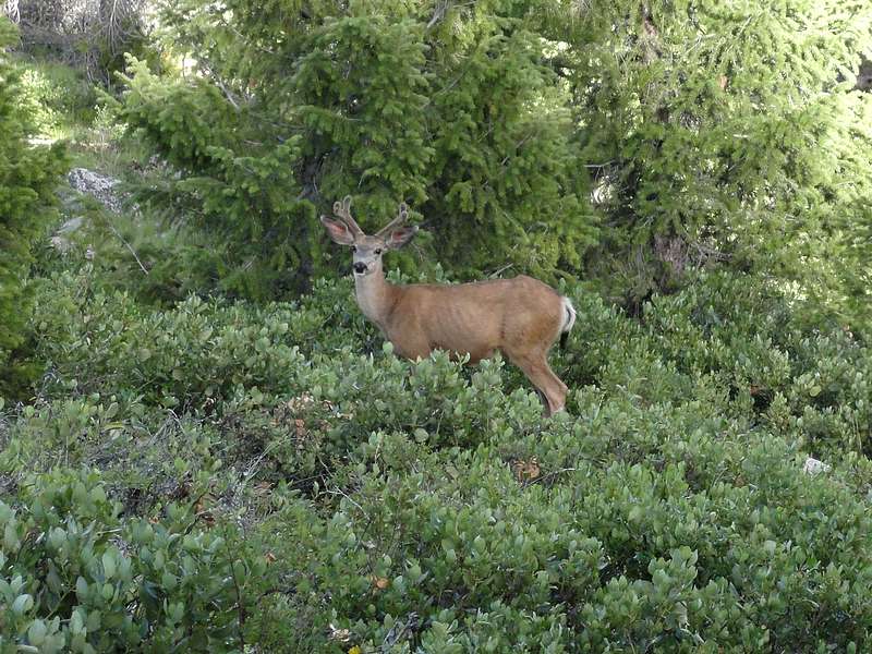
Deer by the trail during the hike out. |
|