|
Potaman Peak
Elevation 9376'
Potaman Peak is located toward the northeast corner of central Idaho’s White Cloud Mountains. This area of the range is volcanic rock, and tends to be drier, making a good early or late season option. There are several approach options, with the most straightforward being to follow the trail from Jimmy Smith Lake. The peak was formerly home to a fire lookout, and as expected has impressive and expansive views in all directions.
|
Michael and I made the nearly 4 hour dive from Boise, via the East Fork Salmon River. In less than a half mile of hiking, we made it to the end of the ATV trail at Jimmy Smith Lake.
|
|
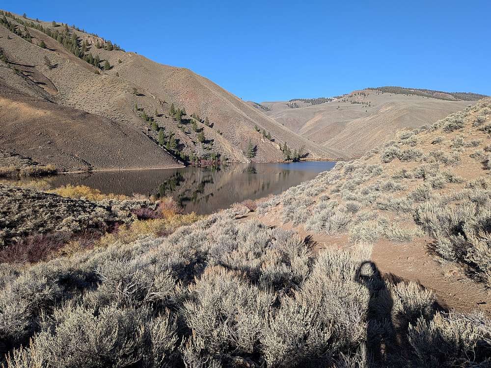
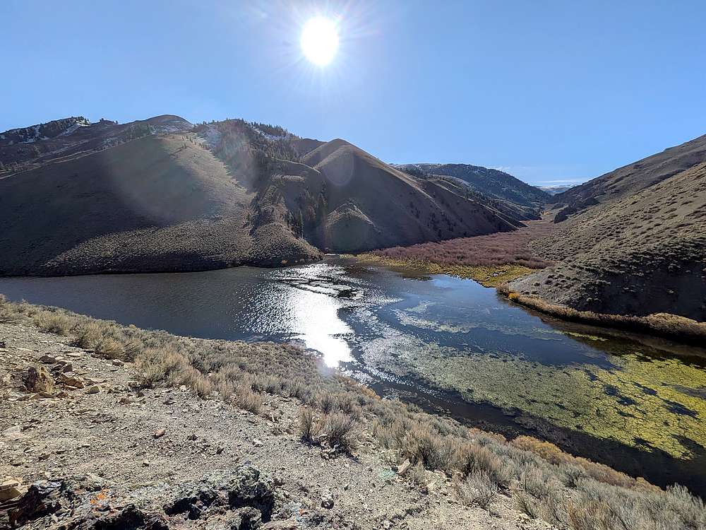
The lake is quite large, so it was another mile of hiking a long the lake shore before we headed north of Corral Creek. That's Potaman Peak in the distance.
|
|
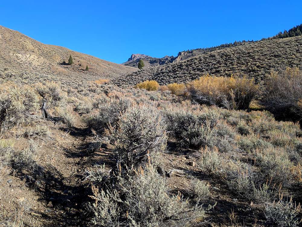
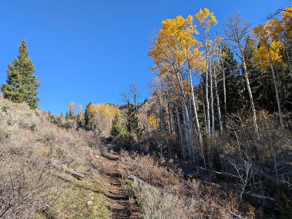
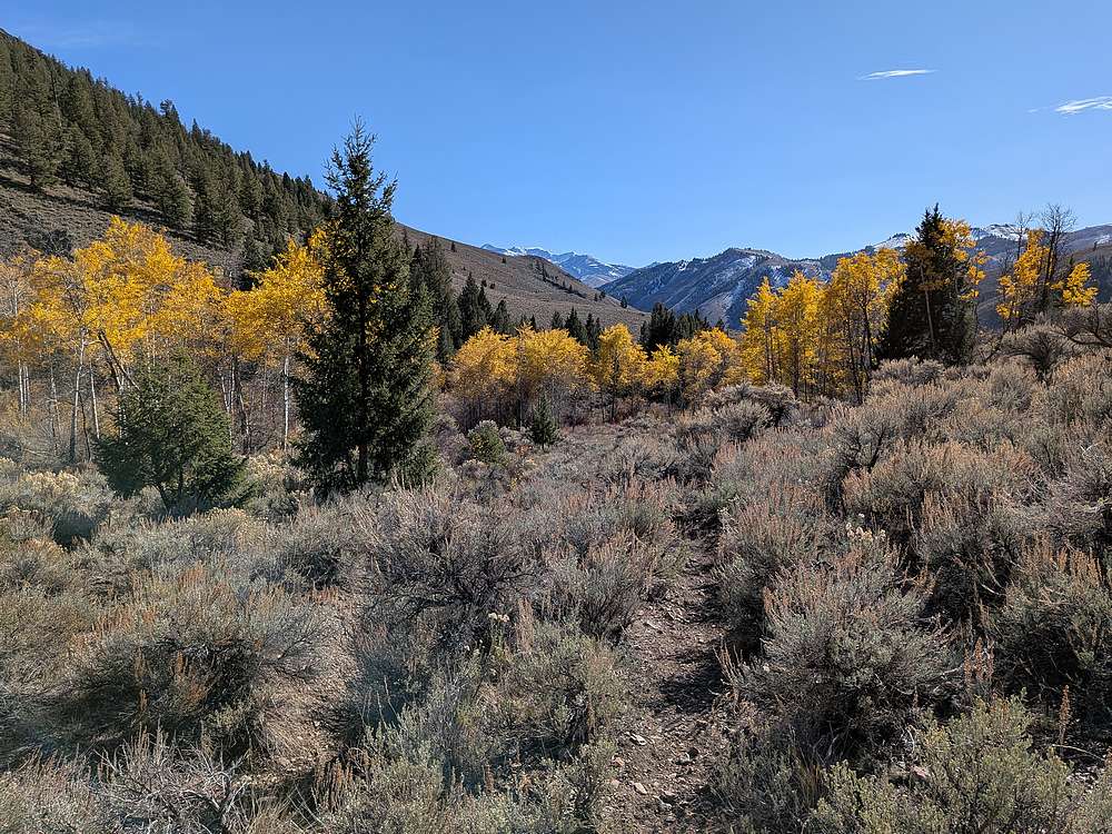
Some fall colors along the trail up Corral Creek.
|
|
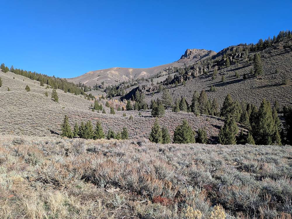
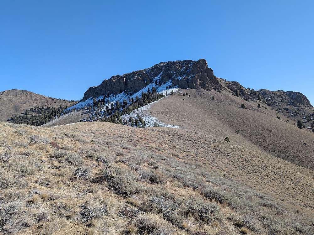
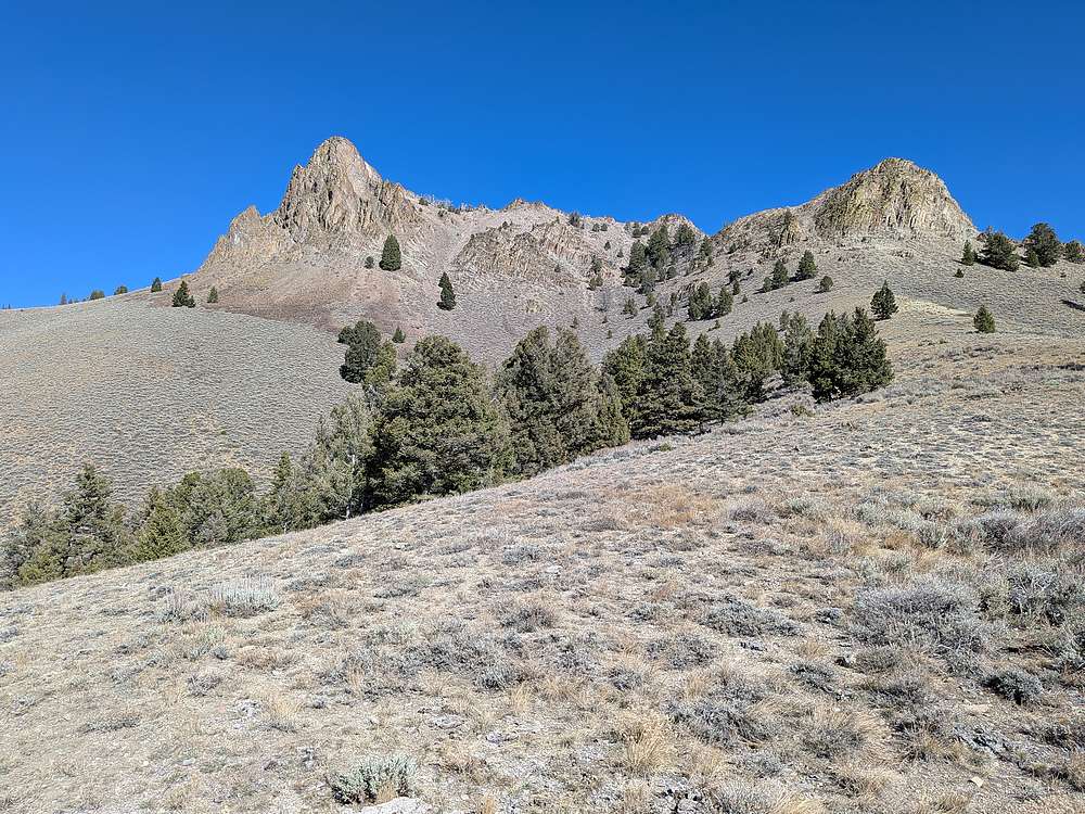
View of Potaman Peak and its west ridge, from the trail to the south.
|
|
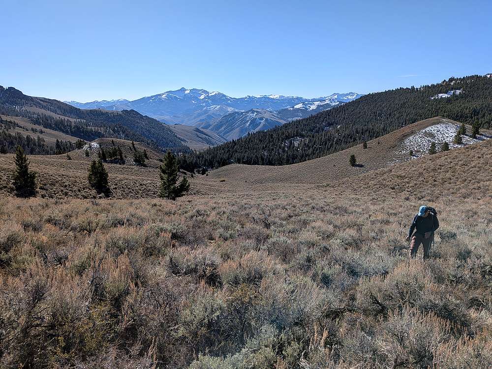
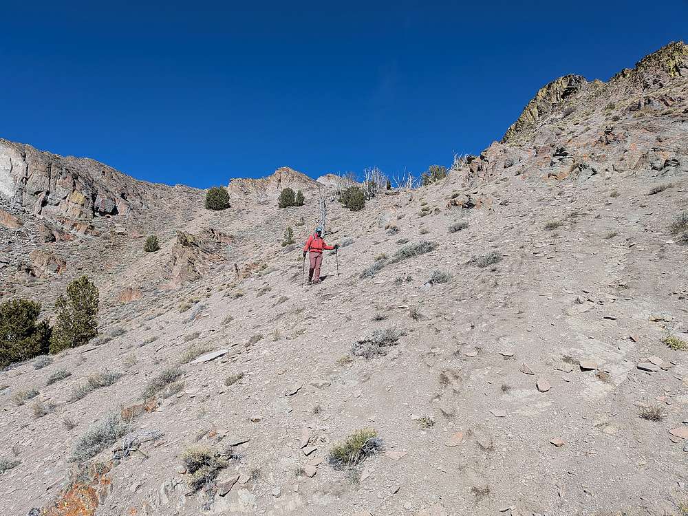
Here we are ~7800', having left the trail for some sagebrush hiking. Bowery & Sheep Peaks in the background.
|
|
Hiking up the west ridge of Bowery Peak. From here, it would seem the best way is climber's left. But as we got closer, we ended up on a more direct route.
|
|
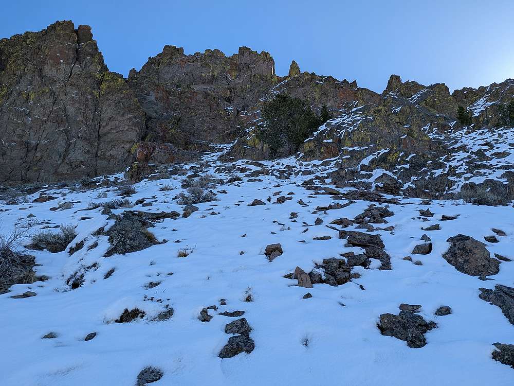
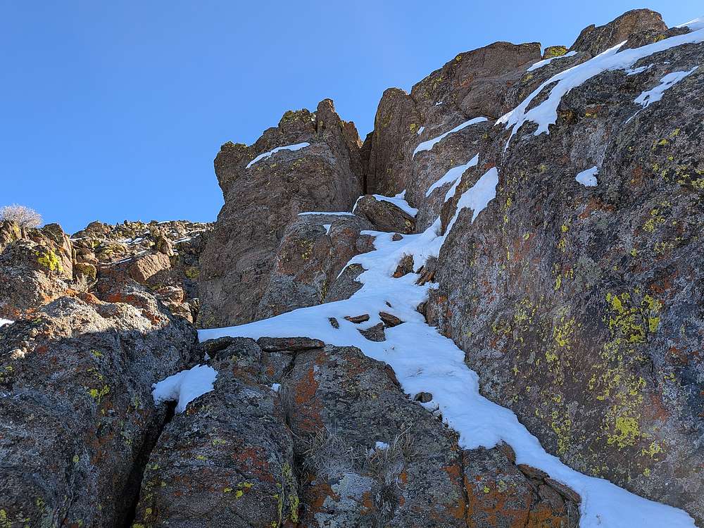
Now in the snow on the shady side of the peak, we did manage to fine the very old trail switch backing up the talus slopes. Then at the top of the talus, we decided to attempt a scramble up the west face.
|
|
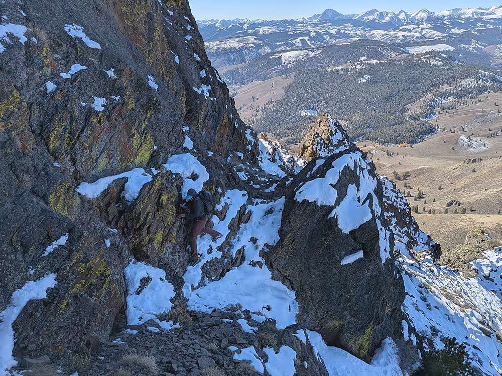
Here's Michael in a scramble section, and we zigged and zagged up the face.
|
|
Nearing the top of the scramble section.
|
|
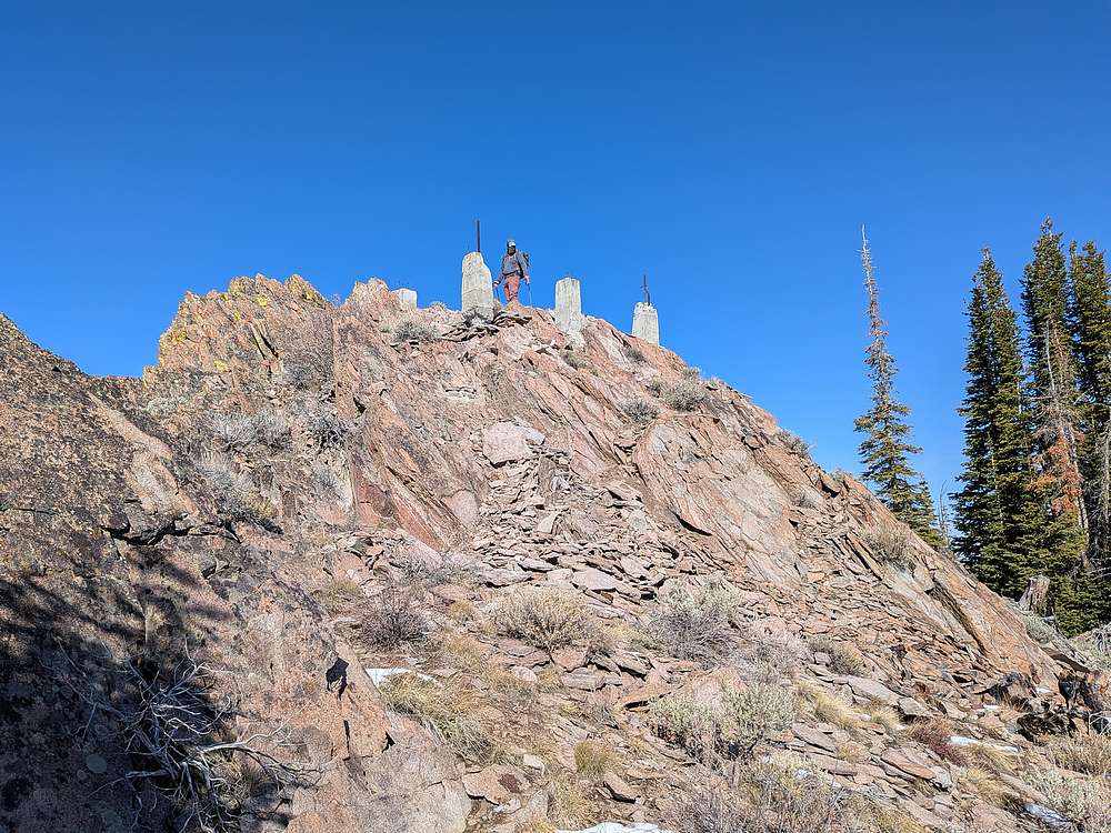
Summit of Potaman Peak, including foundation pedestals from the long gone fire lookout.
|
|
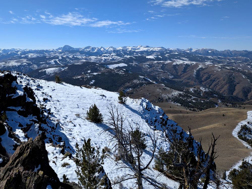
Castle Peak and the main White Clouds from the summit.
|
|
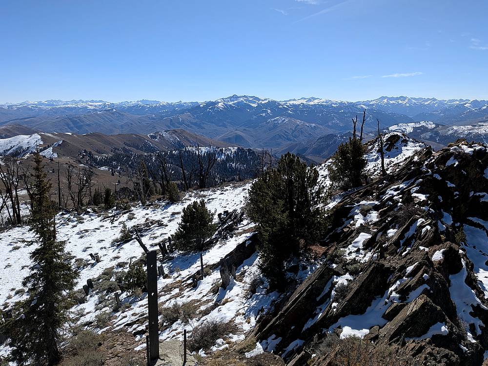
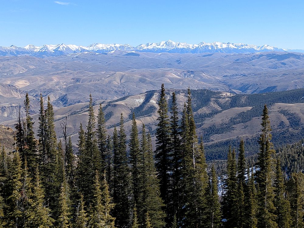
The Salmon River Range. I think this is Cabin Creek Peak, with Mount McGuire visible in the distance.
|
|
Close up Mount Borah and the Lost River Range.
|
|
After a lunch break, it was time to head down. We used a sandy gully to the south to make a quick descent from the summit block.
|
|
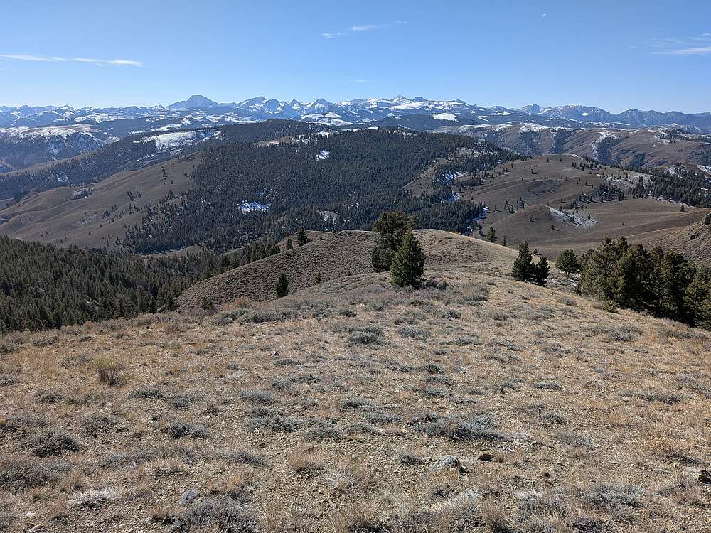
Then down to this gentle ridge with great views.
|
|
Looking back on Potaman Peak from the south.
|
|
From the ridge, we dropped into the headwaters of Corral Creek, and found an elk trail that took us back down to the main trail.
|
|
All went well during the hike back, other than an annoying uphill section once back at the lake.
|
|
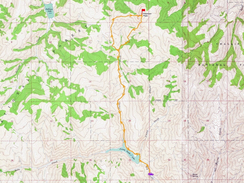
Map of our route. Around 11 miles and 3600' elevation gain round trip, in 6.5 hours of hiking. A great October day in the mountains!
|
Related Links
|