|
Castle Rocks Point
Elevation 5888'
Castle Rocks Road is a nice scenic drive in the southwest corner of the Solider Mountains. The area is south of Anderson Ranch Reservoir, and west of Hill City. The dirt road weaves through some neat rock formations, and also provides access to small and obscure Peak 5888’, which I’m nicknaming Castle Rocks Point. This little highpoint offers great views of the surrounding terrain, although the hike itself requires patience and long pants to protect your legs from the abundant low sagebrush along the way.
|
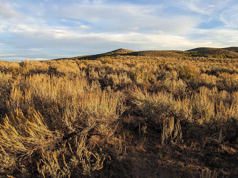
I stopped for a quick evening hike of this peak along the way to bigger adventures. I parked on Castle Rocks Road, due north of the peak, hopped a fence, and started winding my way up through the sagebrush.
|
|
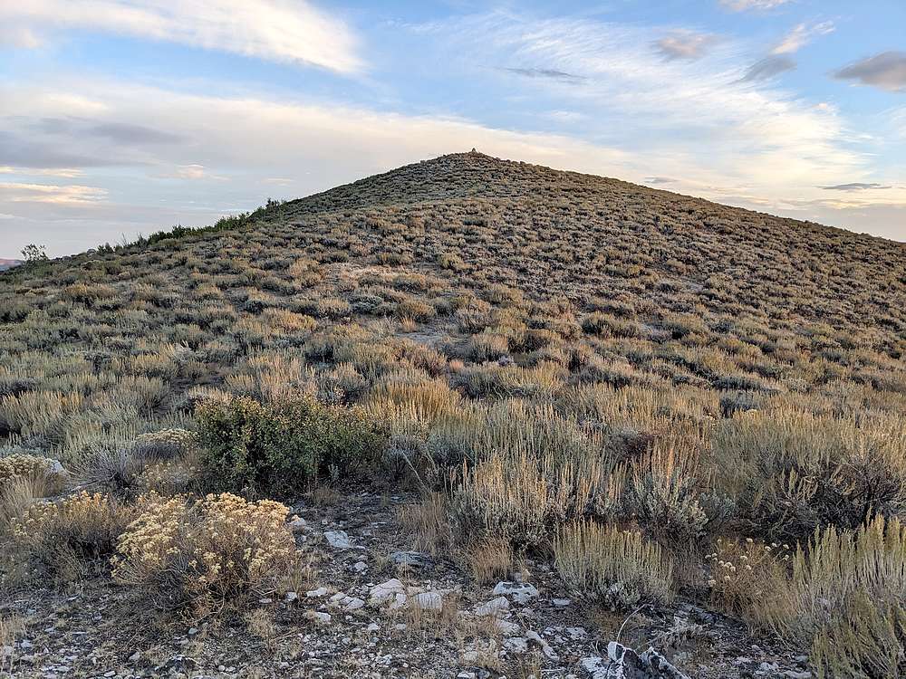
After attempting to follow the path of least resistance through the brush for a while, the summit came into view to the south.
|
|
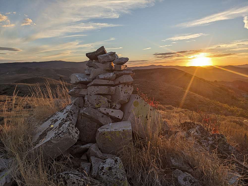
The summit offered nice views, and was a great place to experience the sunset.
|
|
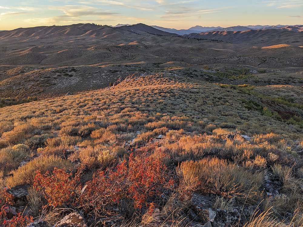
On the way back, I did my best to retrace my path back to the truck, which is just visible in this photo.
|
|
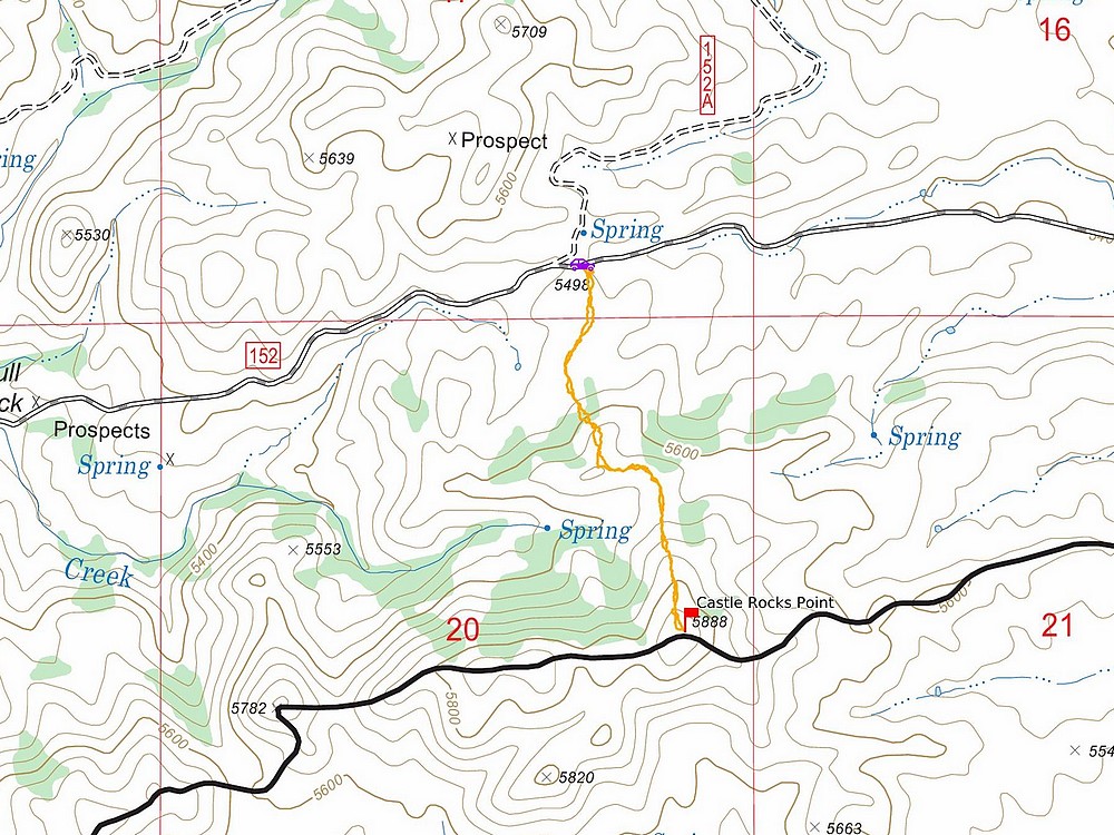
Map of my route. Around 2 miles and 400' elevation gain round trip, in 50 minutes of hiking.
|
Related Links
|
 |
IdahoAlpineZone is unofficially sponsored by Skippy Peanut Butter.