|
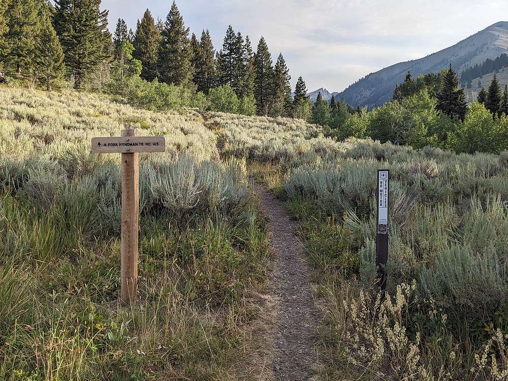
After a 3 hour drive from Boise, I started hiking up the North Fork Hyndman Creek trail just before 8am.
|
|
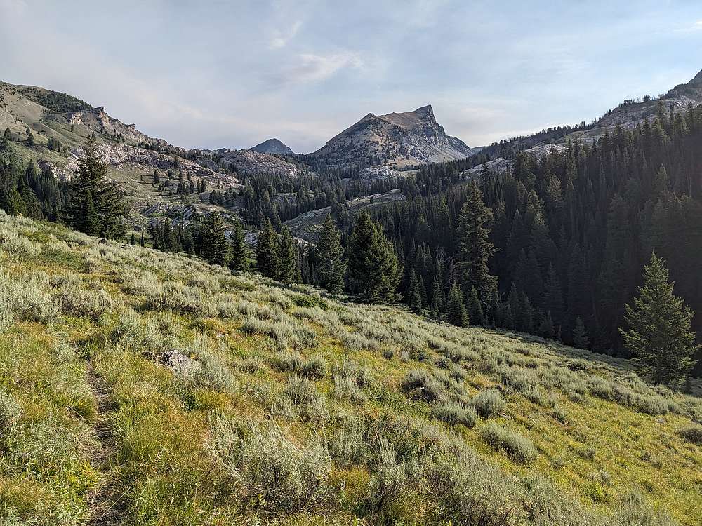
Much of the traffic on this trail heads to Pioneer Cabin, but I was heading further up the north fork. Here, Handwerk Peak comes into view, with Salzburg Spitzl just visible to the left.
|
|
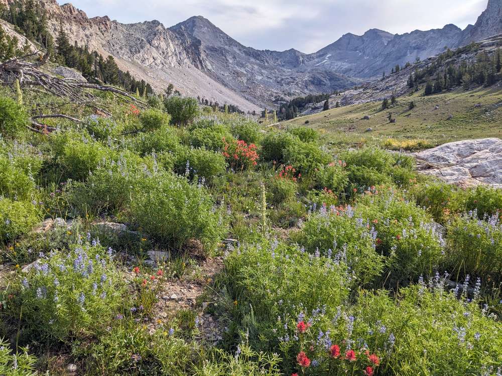
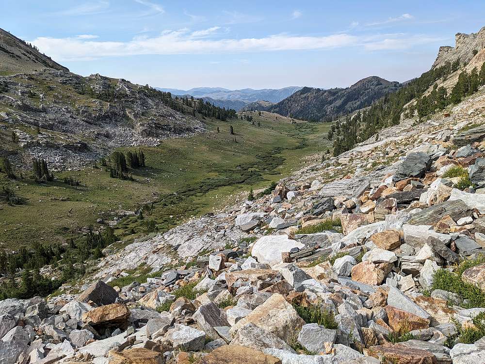
After a little bushwhacking, I crested the rim of this gorgeous hanging valley. Salzburg Spitzl and Goat Mountain are at the head of the valley.
|
|
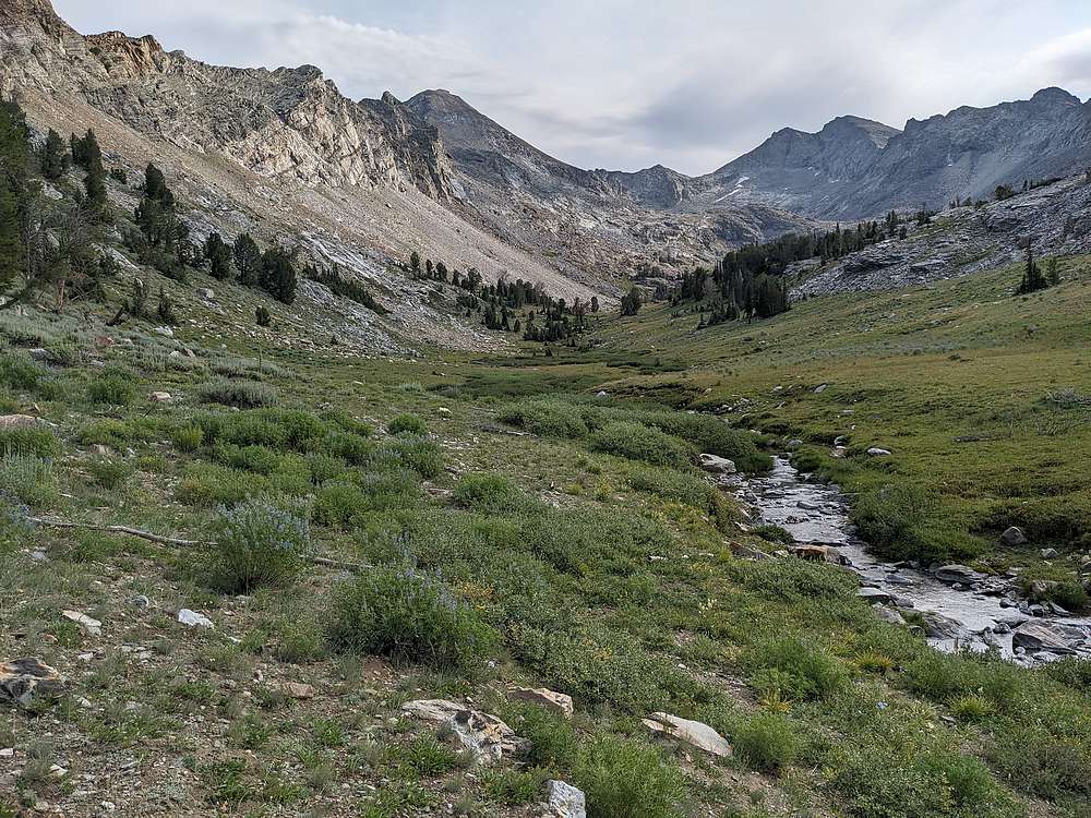
The valley was easy hiking, but the talus on the south face of the Spitzl didn't look too fun. And I thought I recalled that the peak's southwest ridge was class 2.
|
|
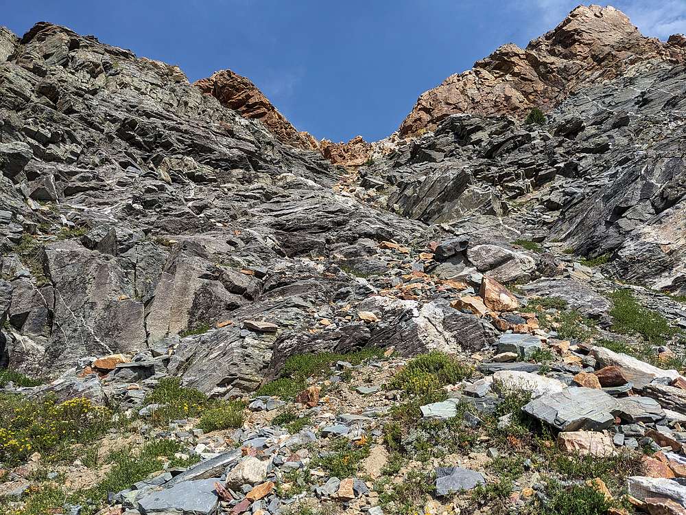
So I left the valley flour, and headed up toward the ridge.
|
|
This gully provided pretty easy access to the ridge above.
|
|
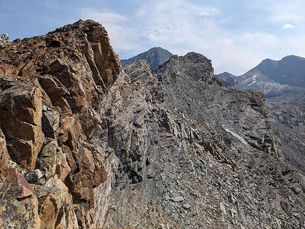
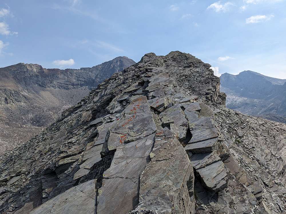
But the ridge certainly looked harder than class 2! Here's the south side of the ridge.
|
|
No easy terrain on the north side of the ridge either!
|
|
So I ended up mainly on the crest of the ridge. It was straightforward in some places.
|
|
But much trickier in others, including a couple class 4 moves long the way.
|
|
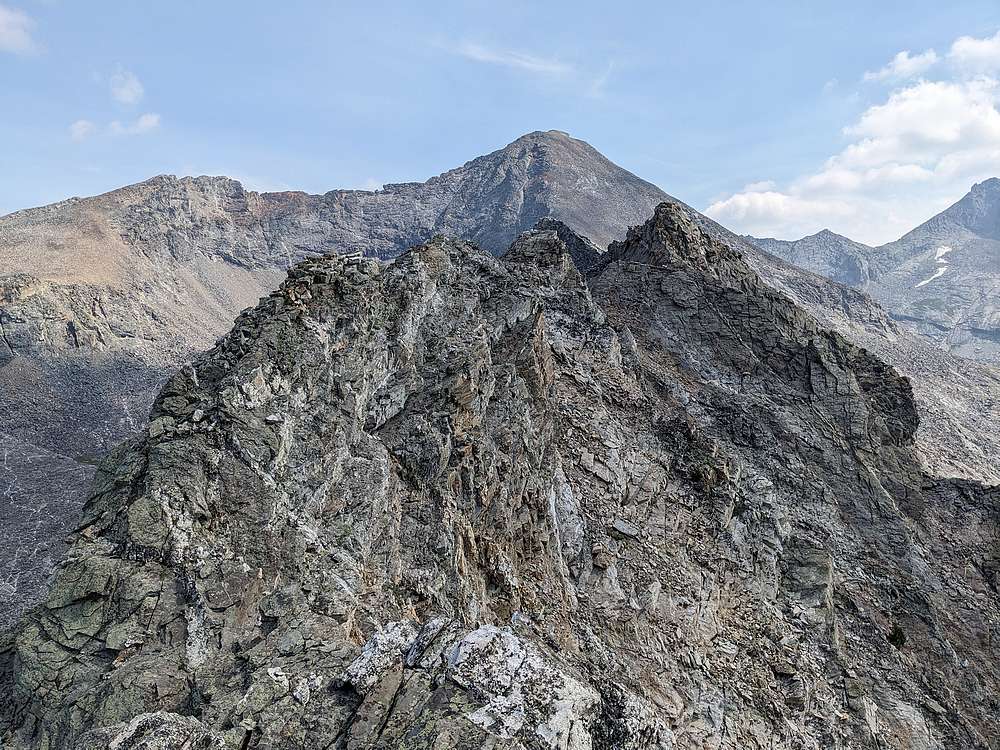
It was slow going along the ridge. At one point I had no choice but to contour around the north side of the ridge. But not for long, as I was able to use this little gully to regain the ridge.
|
|
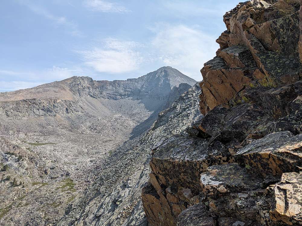
Once back on the ridge, it was mostly just a talus climb to the summit.
|
|
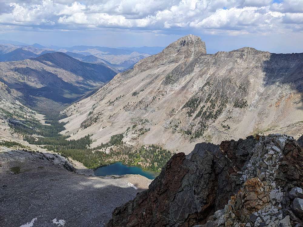
Kane Lake and Devils Bedstead from the summit of Salzburg Spitzl.
|
|
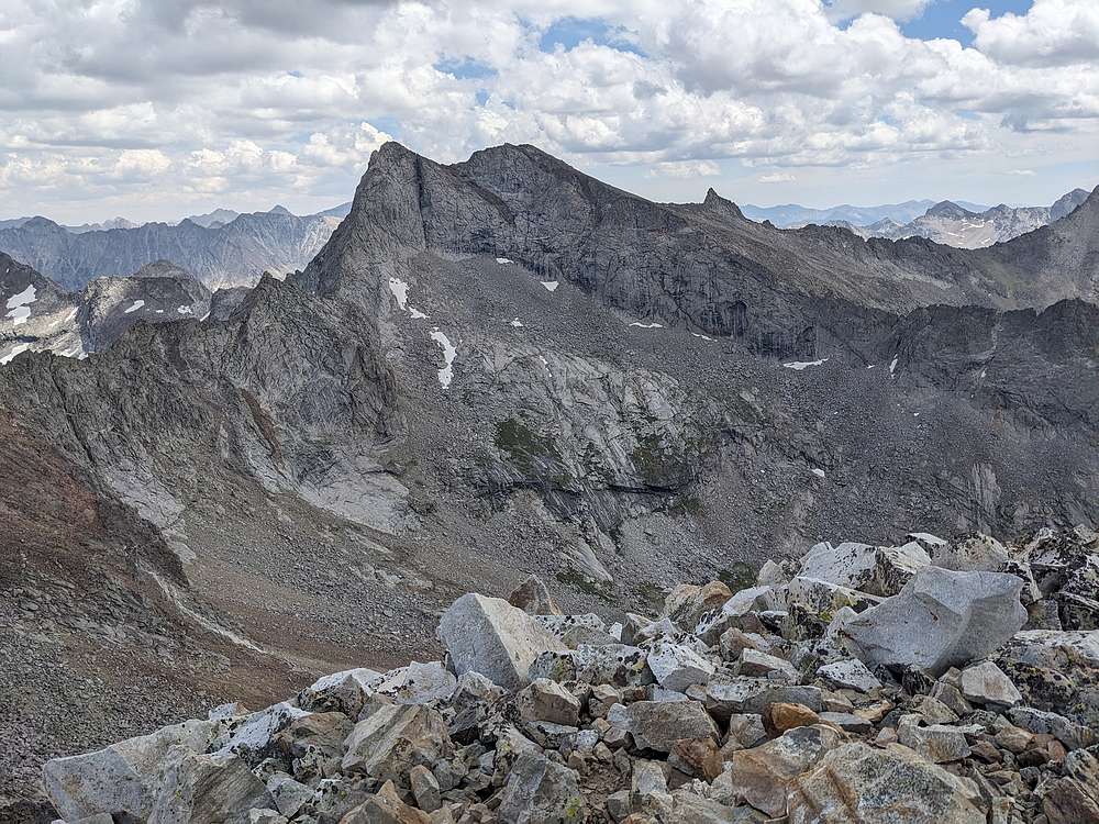
Goat Mountain and Florians Nudl.
|
|
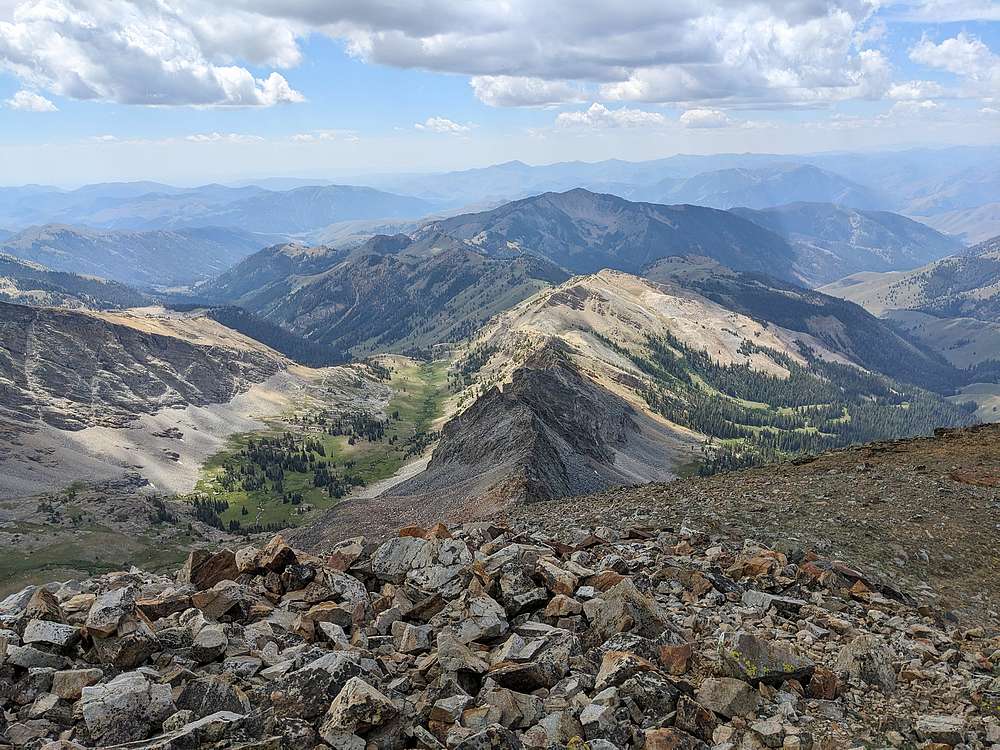
View south of the Hyndman Creek and Coral Creek drainages.
|
|
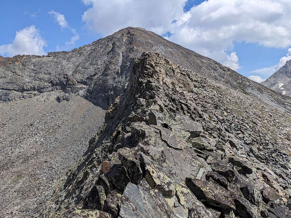
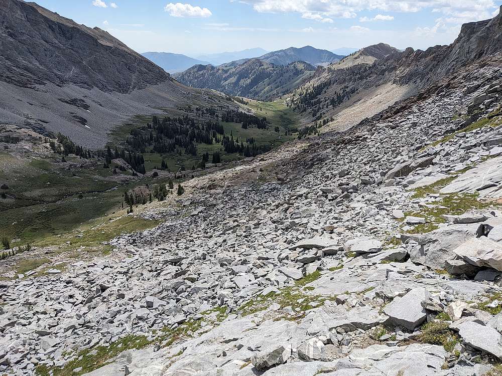
I used the standard route to descend, and the talus wasn't too bad. Definitely would have been faster to climb this route, although not nearly as interesting.
|
|
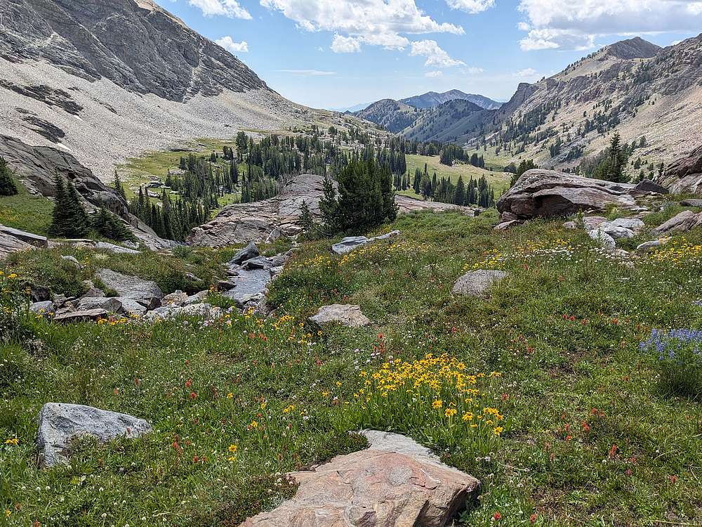
Wildflowers were popping in the upper valley.
|
|
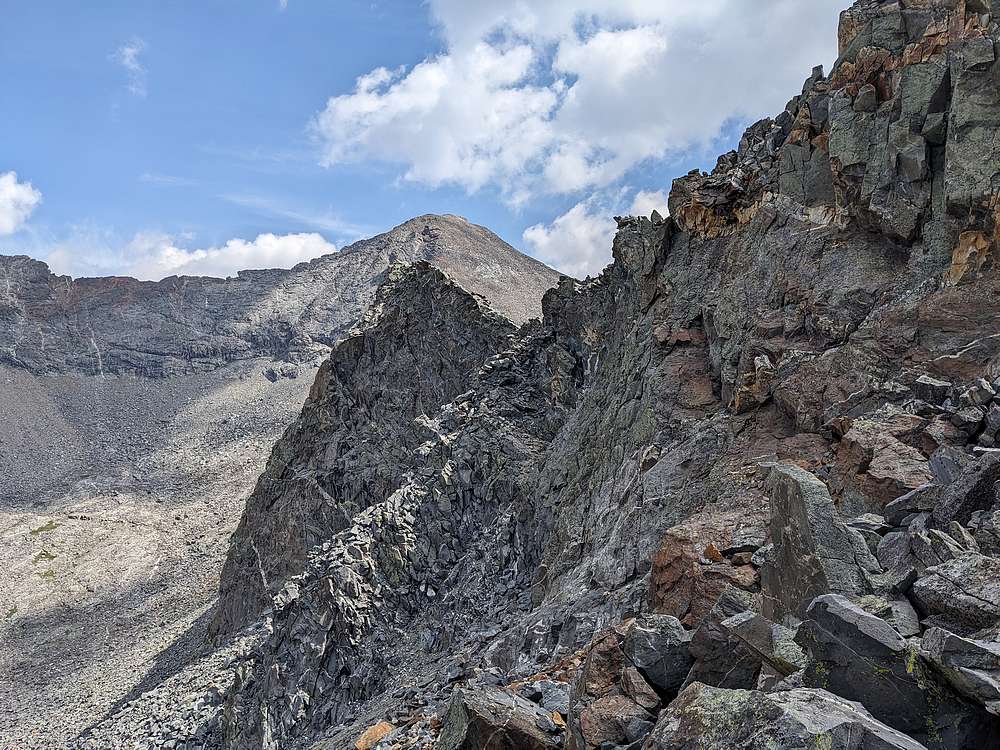
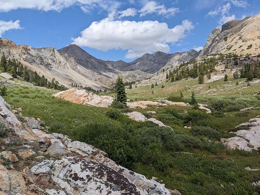
One last view of Salzburg Spitzl before dropping out of the hanging valley.
|
|
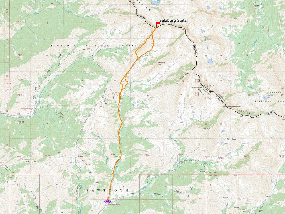
Map of my route. Around 13 miles and 4600' elevation gain round trip, in a 9 hours of hiking. Didn’t go exactly as planned, but made for a great adventure.
|