|
Mountaineer Peak
Elevation 11,828'
Mountaineer Peak is a big mountain located in eastern Idaho’s Lost River Range. It’s the 24th highest peak in Idaho, but is overshadowed by neighboring Mount Borah, the more famous state highpoint. An approach from Mohagany Creek to the north is highly recommended, via an open and lush alpine valley. Alternatively, the peak can be climbed via Rock Creek, which is a much shorter drive from most places.
|
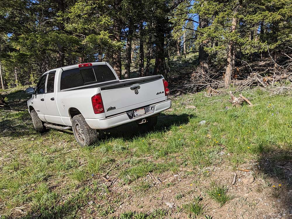
After a long drive from Boise, and then a couple missed turns in the dark, it was almost 1pm before I pulled off the side of the road in upper Mahogany Creek at ~8800 for a sloped night of sleep in the back of my truck. I wanted to drive as high as possible to make for an easier hike the next day, but in hindsight should have just parked on flatter terrain ~8600'.
|
|
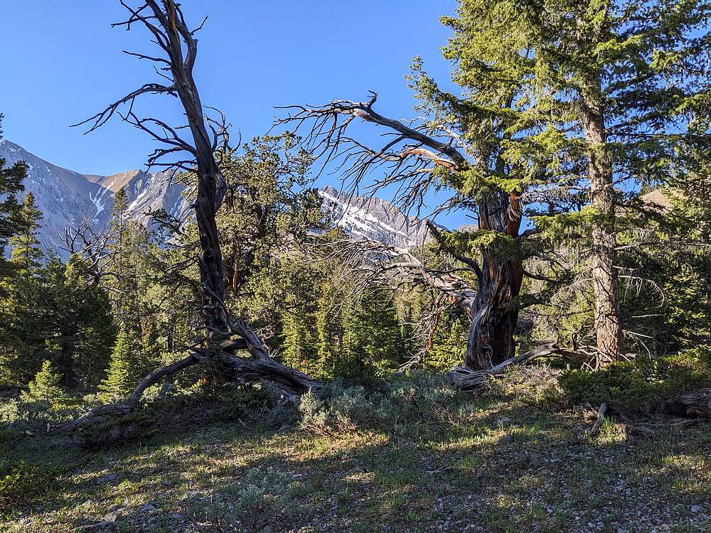
The forecast called for possible rain, and big wind later. But for now the weather was pleasant as I contoured along the hillside. The forest wasn't too brushy, and offered up occasional views.
|
|
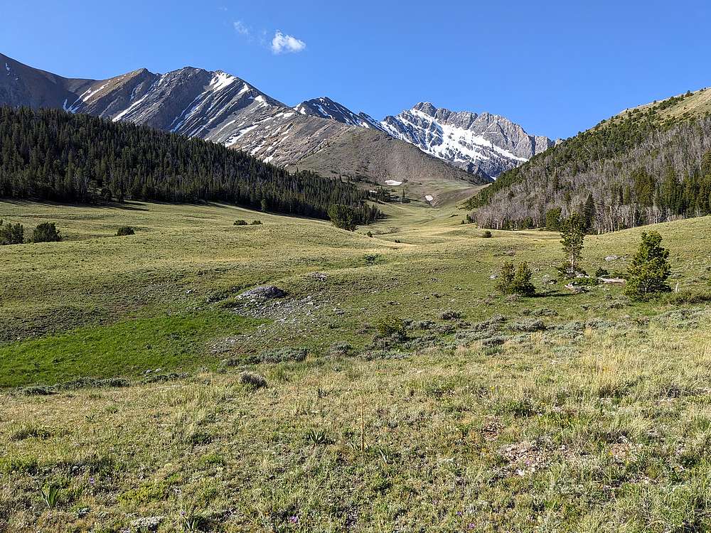
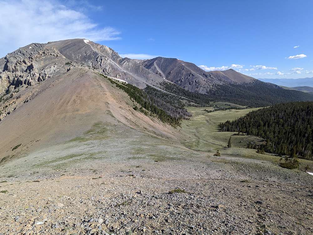
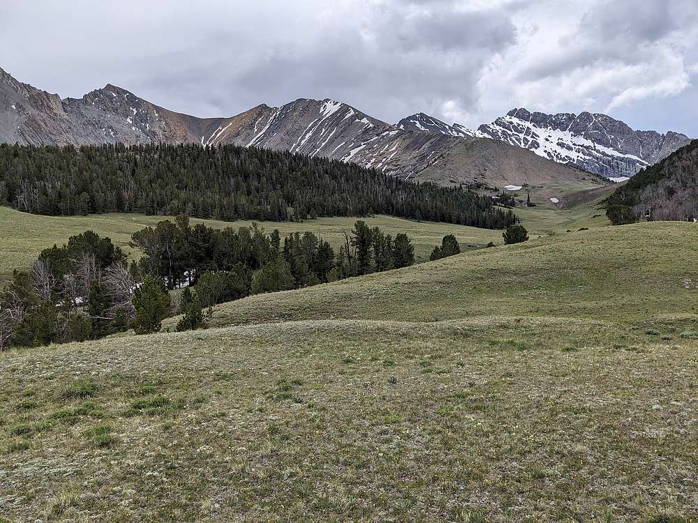
After a mile and a half of side-hilling, I left the trees and entered this gorgeous green valley at the headwaters of Mahogany Creek. The target is the saddle in the distance, Mount Borah in the background. Mountaineer Peak just out of this frame to the left.
|
|
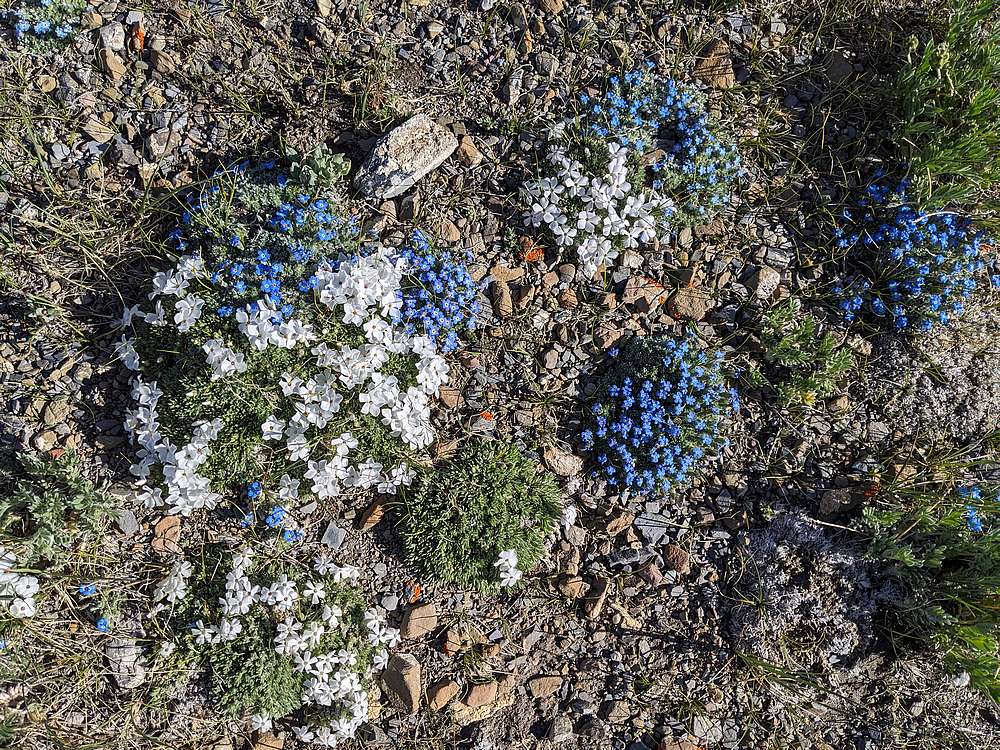
Wildflowers are abundant this time of year. Here are some white flox and alpine forget-me-nots.
|
|
Once at the saddle, it was time to head uphill to the north. Looking back on Al West Peak and Mahogany Trident Peak.
|
|
Great views of Borah's north face on the way up.
|
|
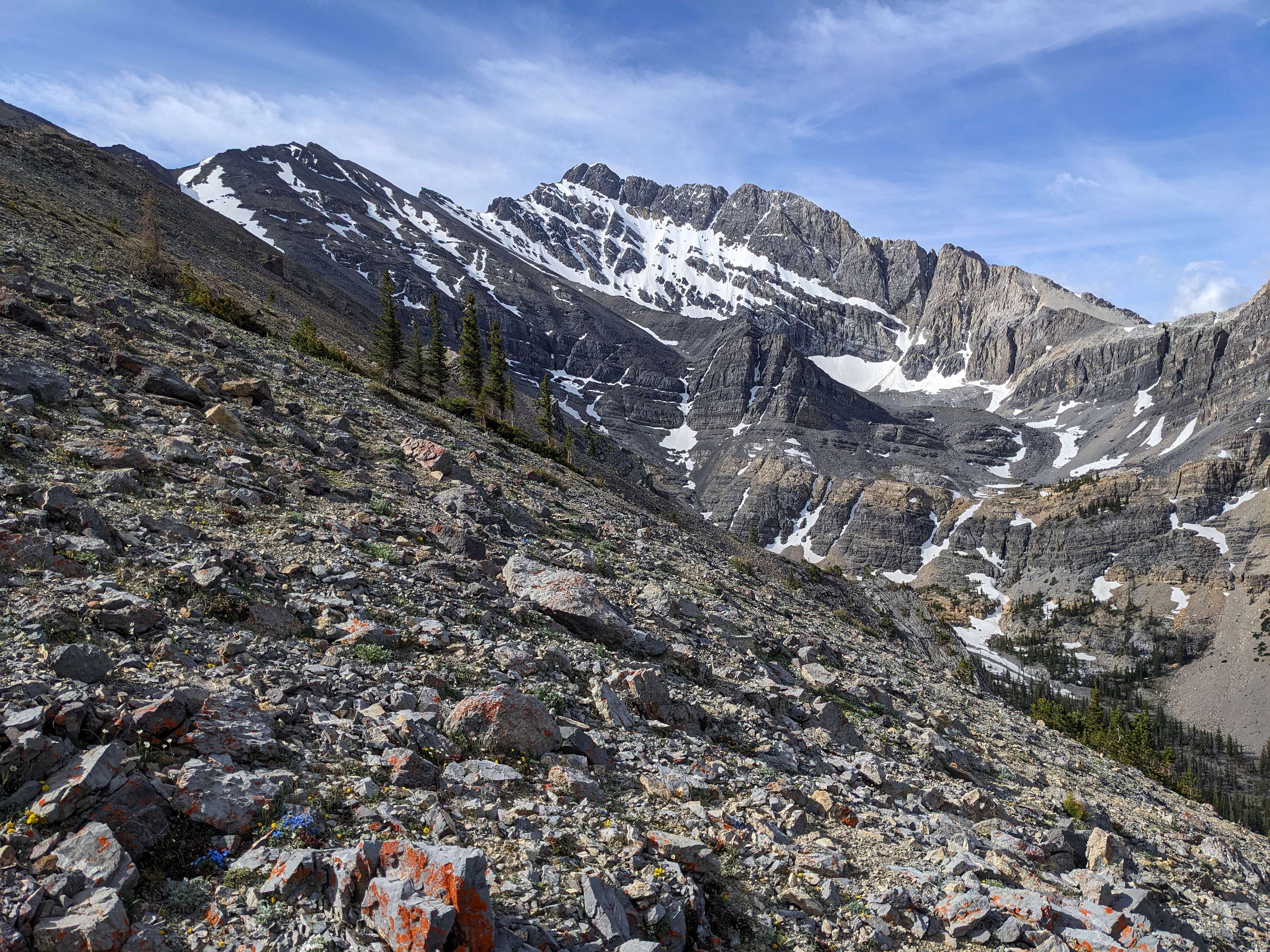
Here's the north face of Mountaineer Peak from the lower ridge.
|
|
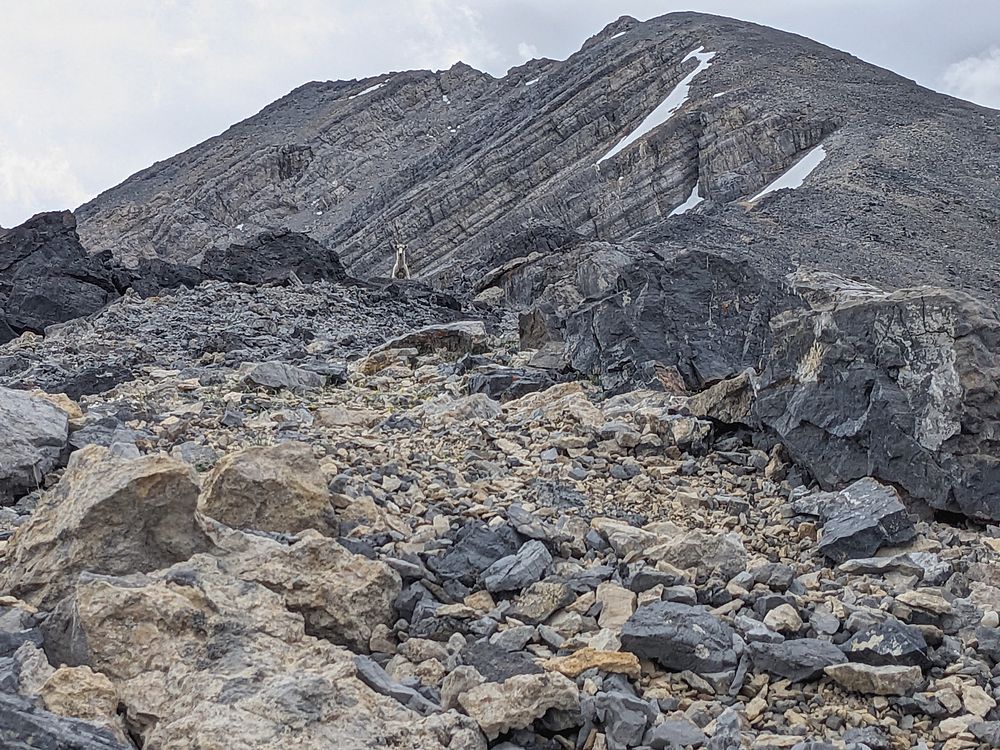
Higher on the ridge I encountered this bighorn ewe, and her lamb.
|
|
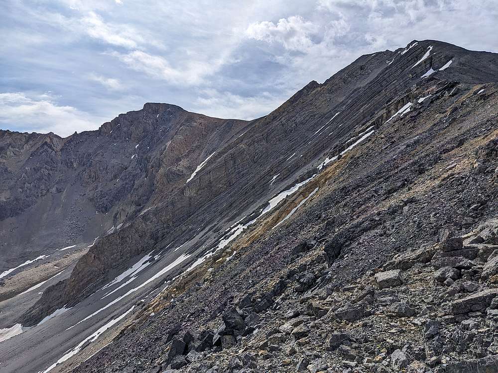
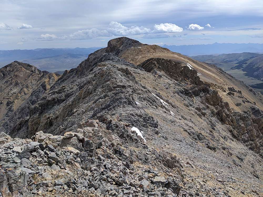
It was mostly just a grind to reach Pt 11715', but from here I could see there would be a bit of route finding along the undulating ridge to the summit. Nothing too hard though. I cheated to the south side of the ridge at times, and then to the north side later. Just followed my nose.
|
|
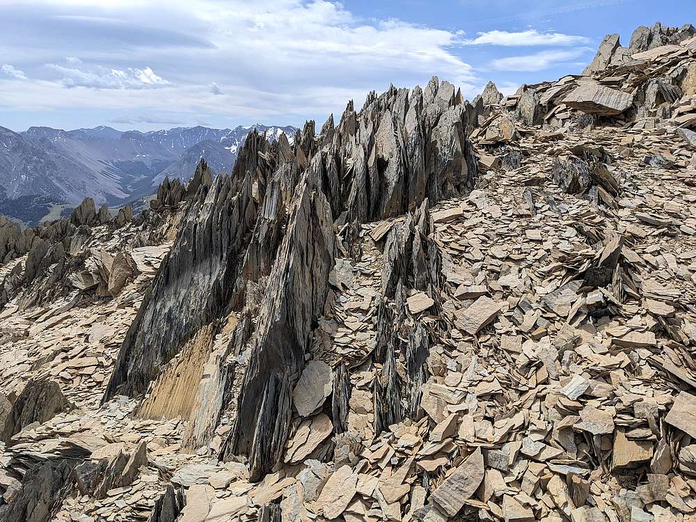
Along the way I passed through this photogenic section of shale, some of which was still standing vertically.
|
|
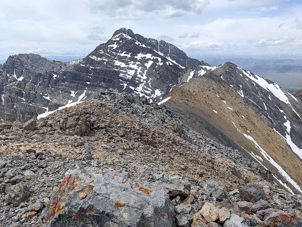
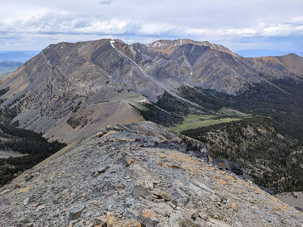
From the summit of Mountaineer Peak, looking back west along the ridge, Mount Borah in the background.
|
|
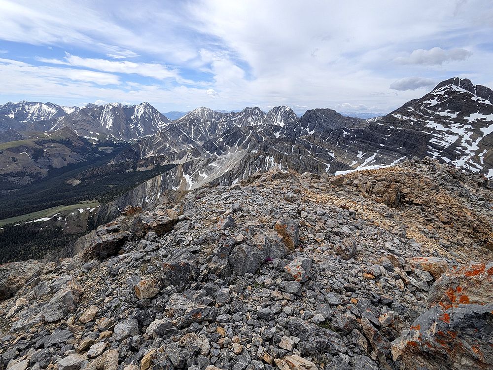
Summit view toward Leatherman Pass, Mount Borah, and several of the highest peaks in Idaho. Not a bad spot for a PB&J!
|
|
Thankfully, the winds didn't kick up until it was time to descend. Here’s a view looking back down the ridge, with the verdant upper Mahogany Creek drainage to the right.
|
|
A final look back at Mountaineer and Borah, before entering the forest and contouring back around to my truck.
|
|
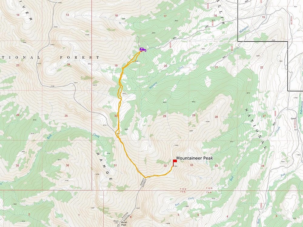
Map of my route. Just over 8 miles and 3800' elevation gain round trip, in a 7 hours of hiking. A great day in the mountains.
|
Related Links
|