|
Buck Mountain is located in southwest Idaho’s Owyhee Mountains. It is visible from highway 95, about halfway between Marsing and the Oregon border. The most interesting thing about Buck Mountain is that it’s actually a small rhyolite volcano. I was looking for a short hike to take my sons on. I found Buck Mountain while scanning through TOPO maps, and as soon as I learned it was a volcano, I figured it would be easy to convince the boys to go out for some exploring in the area. After all, how often do you get to climb a volcano in Idaho?
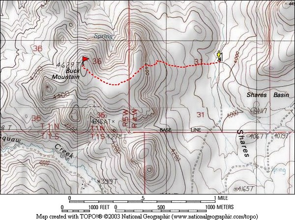
We made our way south from Marsing on highway 95, then turned east on a dirt road not long after milepost 11. The road took us around the south side of Buck Mountain, then up into Shares Basin. (High clearance recommended, but 4WD not required when the roads are dry.) After taking left turns at three different intersections, we found a good place to park, and started hiking.
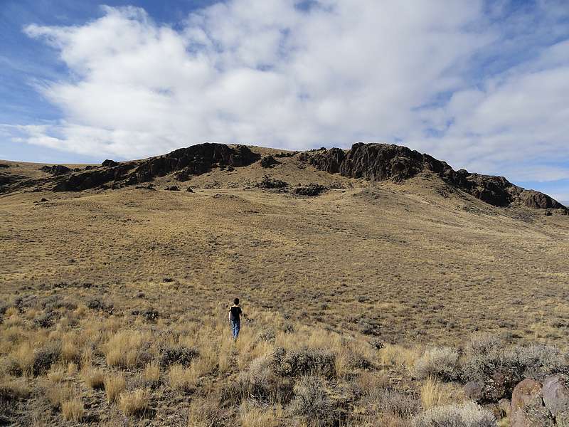
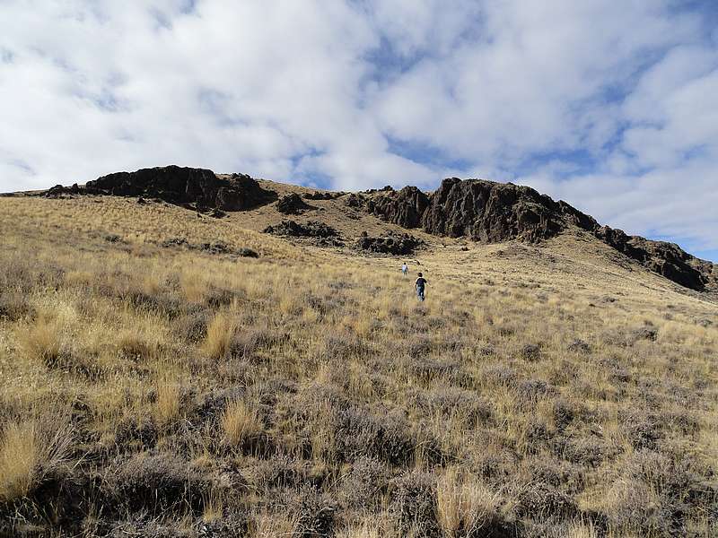
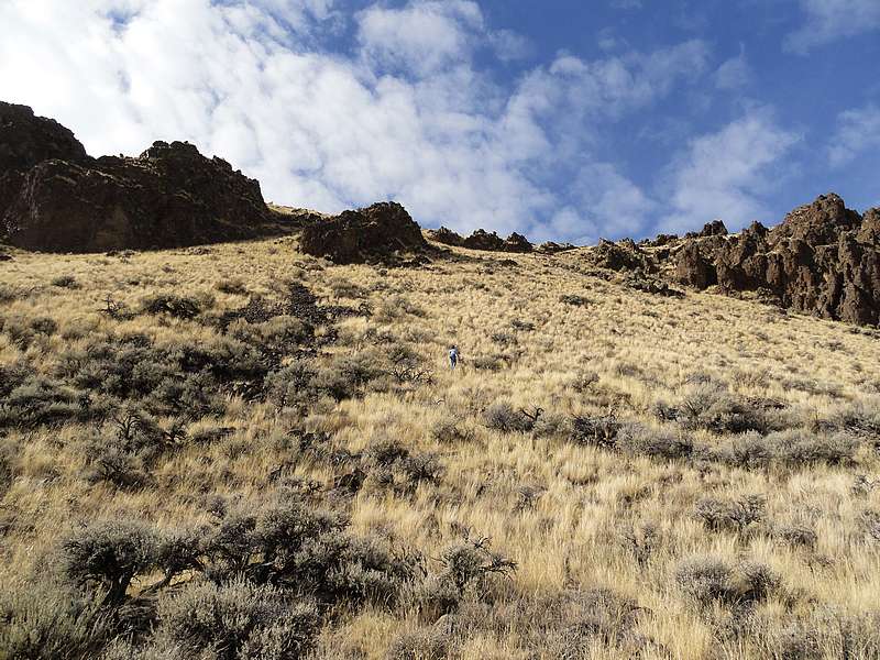
The area is wide-open high desert terrain, so travel is pretty easy. The views are nice too, with a number of different rhyolite cliffs and towers in the area. November seems like a good time of year for this hike when temperatures are mild and the rattlesnakes are hibernating. The boys have become pretty comfortable with cross-country travel, and they covered ground quickly on the lower slopes of the mountain. We reached a shelf at about 4300’, and then the hard work began. The slope got steeper, but the boys were troopers and made their way slowly up to the summit ridge.
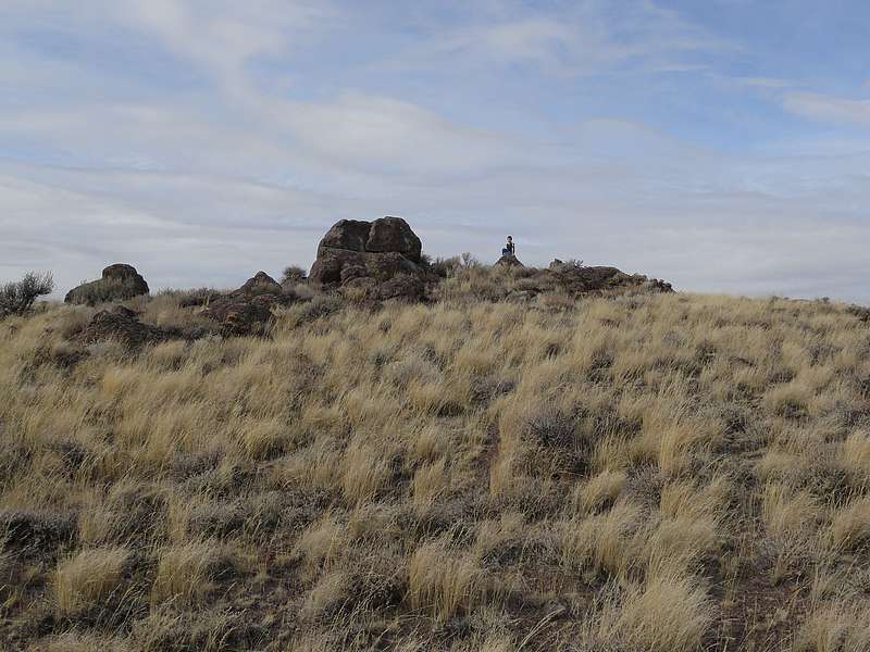
Once on the summit plateau, which I guess is actually the “rim” of the volcano, the terrain was pretty flat and we made our way west through the dry grass and sagebrush to the summit. At the highpoint we found a small cairn build on top of a rhyolite boulder. We also found a small plastic encased token that had been placed back in 1975. The boys thought that was pretty cool. After taking a few photos, and some attempts to look down into the crater, we packed up and headed back down.
During the return trip, descending the steep section ended up being pretty challenging for the boys since they had a hard time keeping their footing while going down the steep and grassy slopes. But they hung in there, and we made it back down without any major incidents. Once back to the car, we took the scenic route back to the highway while exploring some of the other jeep trails in Shares Basin.
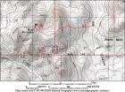
Map of the route, 2.5 miles round trip with 600 elevation gain. |
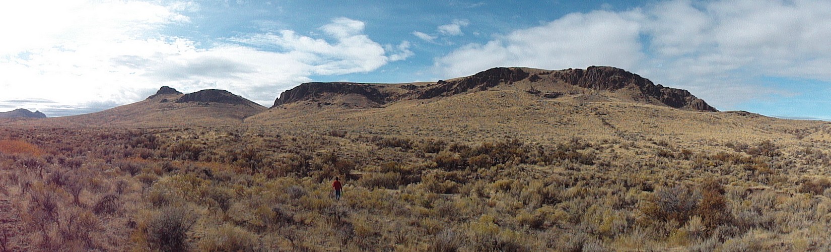
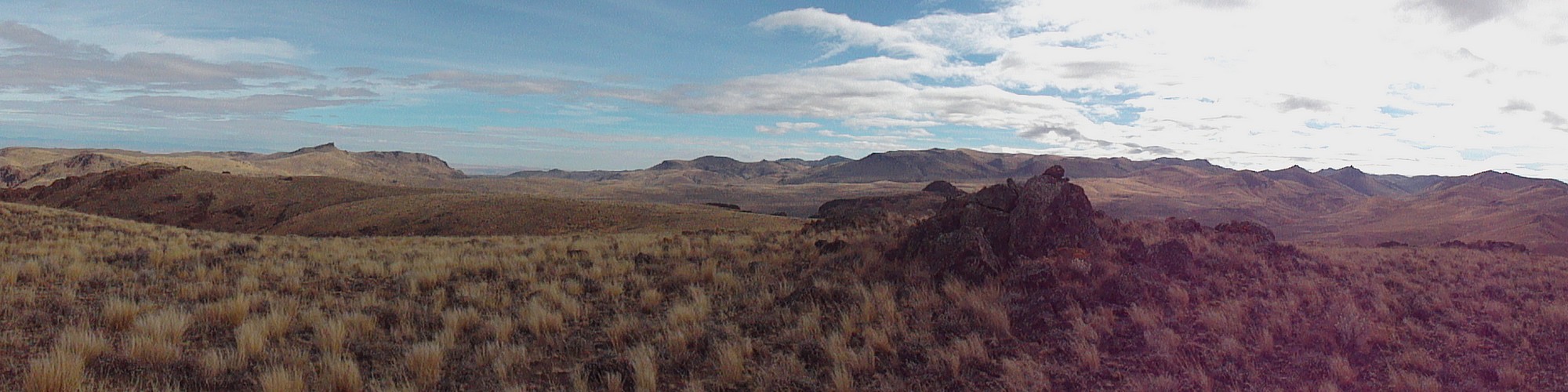
Panoramic view from the start of the hike. |
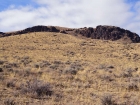
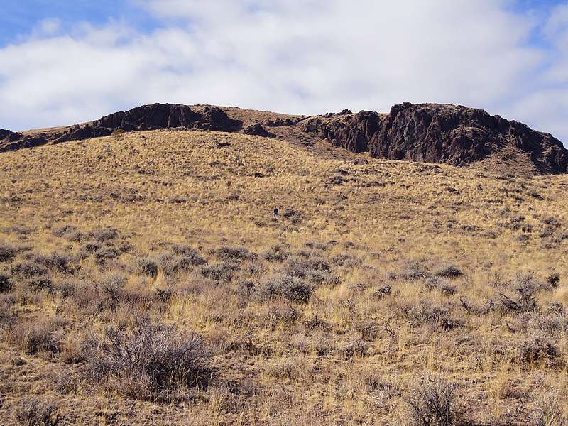
Heading west toward Buck Mountain. |

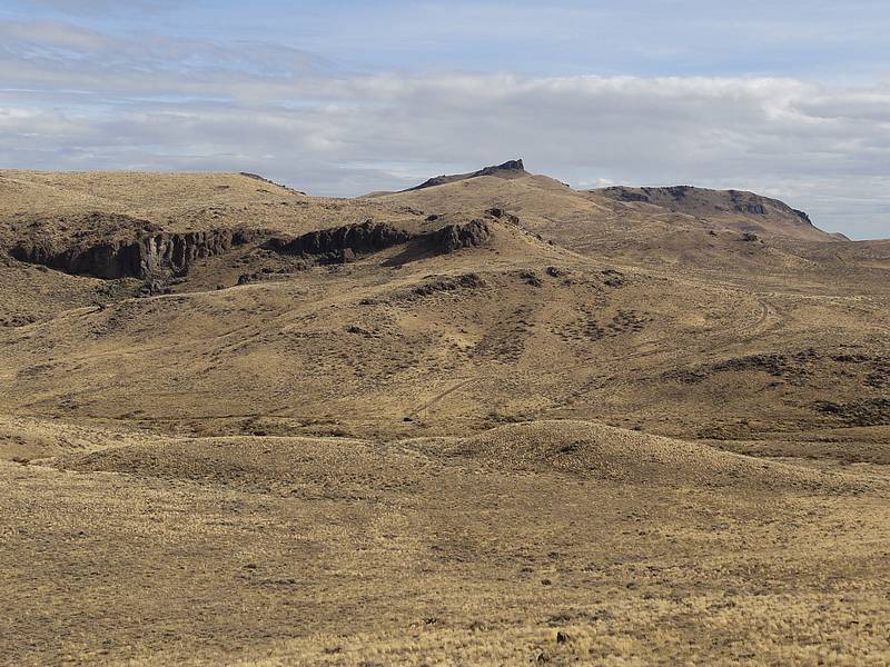
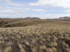
Open country near Shares Basin. |
Wandering through the sagebrush. |
Looking back on the car, Shares Snout in the background. |
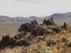
Stopping for a quick break. |
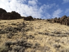
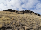
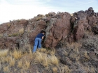
Climbing the east slopes of Buck Mountain. |
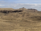
Buck Mountain summit plateau. |

First to the summit. |

Summit shot, splattski style. |
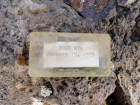
Buck Mountain summit token from 1975. |
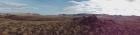
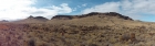
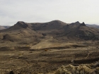
Panoramic view spanning from Shares Snout to Piute Butte. |
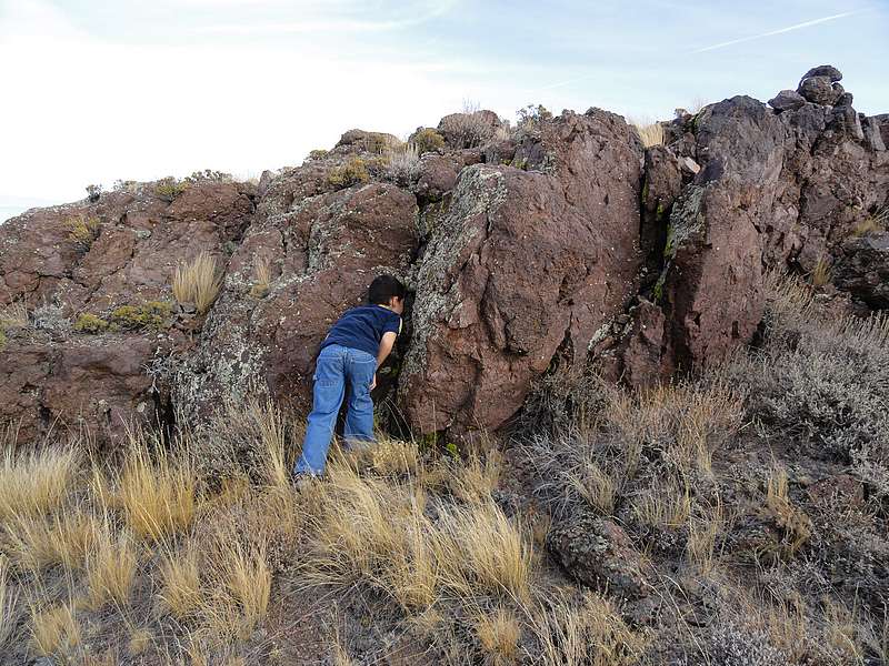
Searching for where the lava is going to come out. |
Buck Mountain Volcano as seen from the highway. |
|