|
Atkins Butte - 7 Butte Loop
The Owyhee Mountains of Eastern Oregon are great a great place for solitude. The high-desert terrain is pretty wide open, which makes for great views. But it also makes for zero shade, so the area is best visited best visited during the shoulder seasons when the temperatures are mild. I’d been eyeing the area around Atkins Butte and Long Gulch since Kaden Platt had done a 7 butte loop last year. So once it seemed the access roads had dried out, I took advantage of a beautiful weather day, and headed out!
|
|
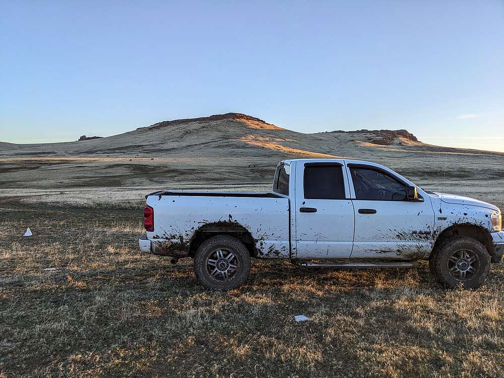
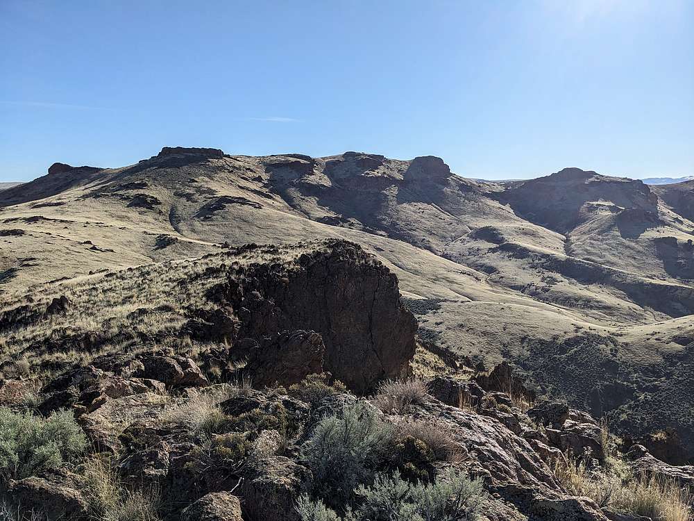
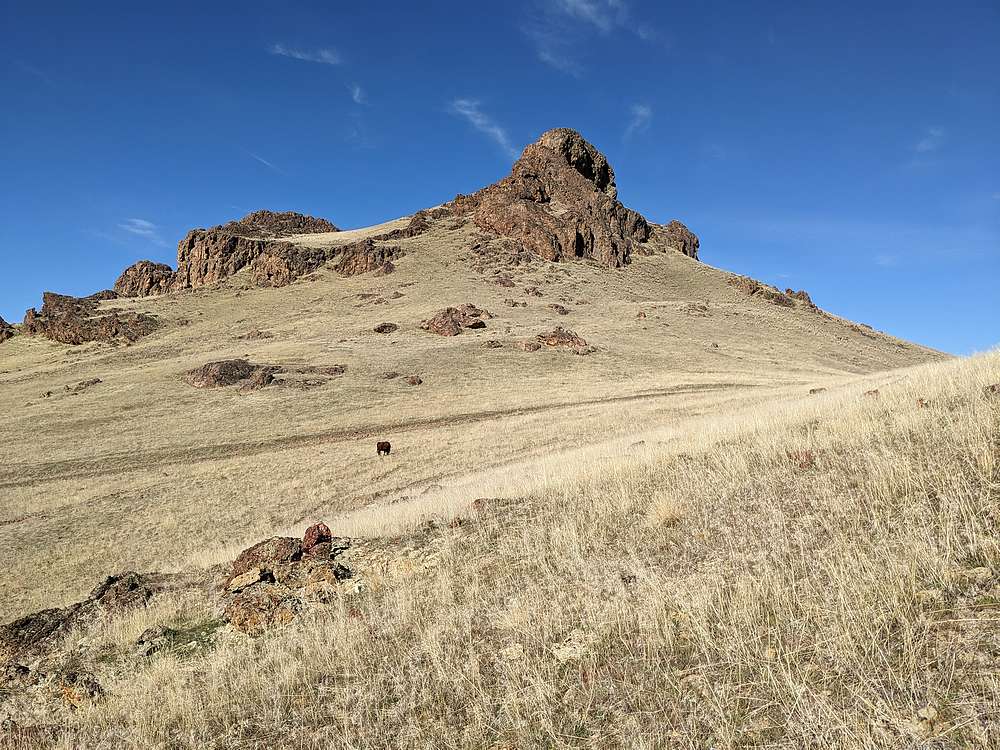
After a 2-hour drive from Boise, I tried getting to the area via Succor Creek Road from the east. But after narrowly escaping getting stuck in the mud near Saddle Butte Reservoir, I had to backtrack and ended up using a southern access road from Leslie Gulch Road. Here’s a view from the parking spot, with the first of seven buttes in the background.
|
|
|
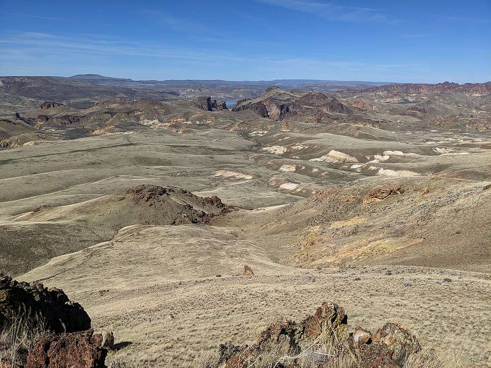
I nicknamed the first one “Roger Butte” (4475’) since it overlooked Roger Spring to the north. The summit was a quick climb, and offered good views of Three Fingers Rock to the north.
|
|
|
From Roger Butte, I found a weakness in the cliffs, and started down, with a view of the second one “East Atkins Butte” (4485’) to the west.
|
|
|
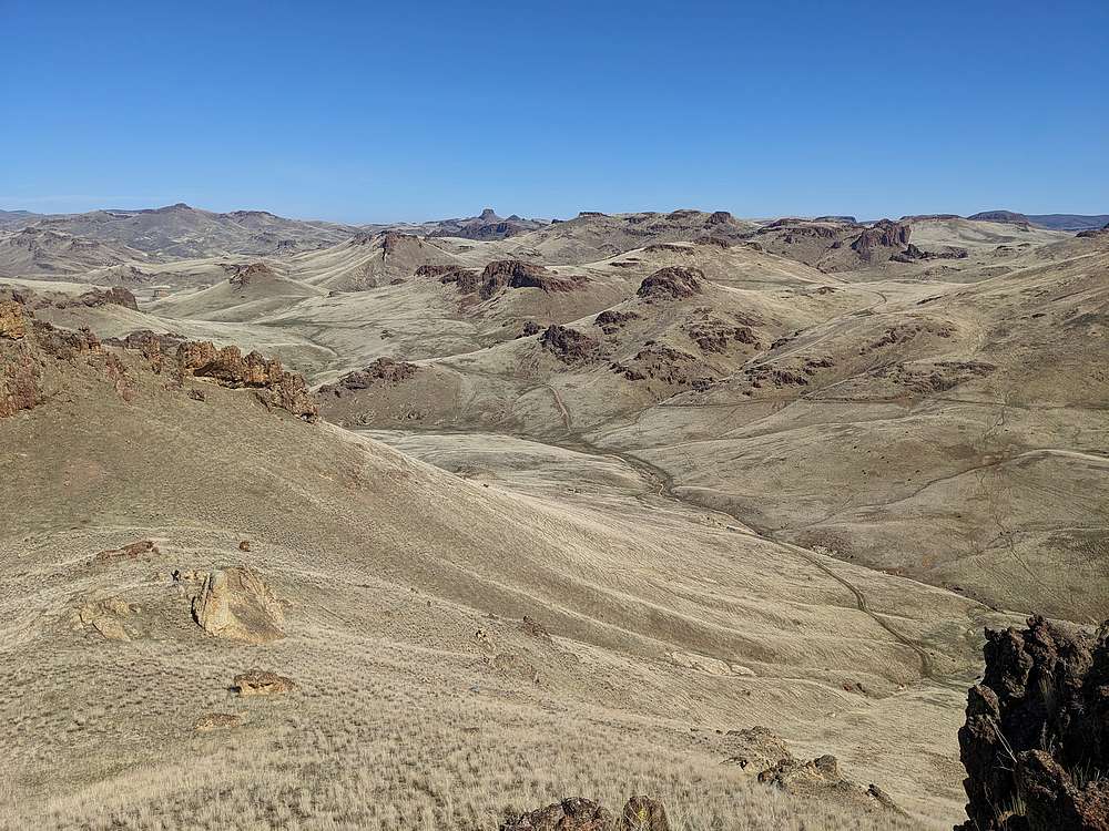
After dodging some cows, I arrived at the summit of East Atkins, which offered up some views of the Long Gulch area below to the west. The next objective, Atkins Butte, is visible in the lower left.
|
|
|
View looking back on East Atkins, from the base of the summit block of Atkins Butte.
|
|
|
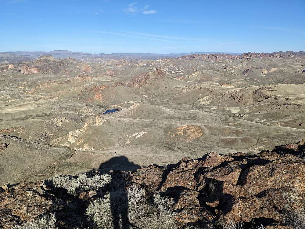
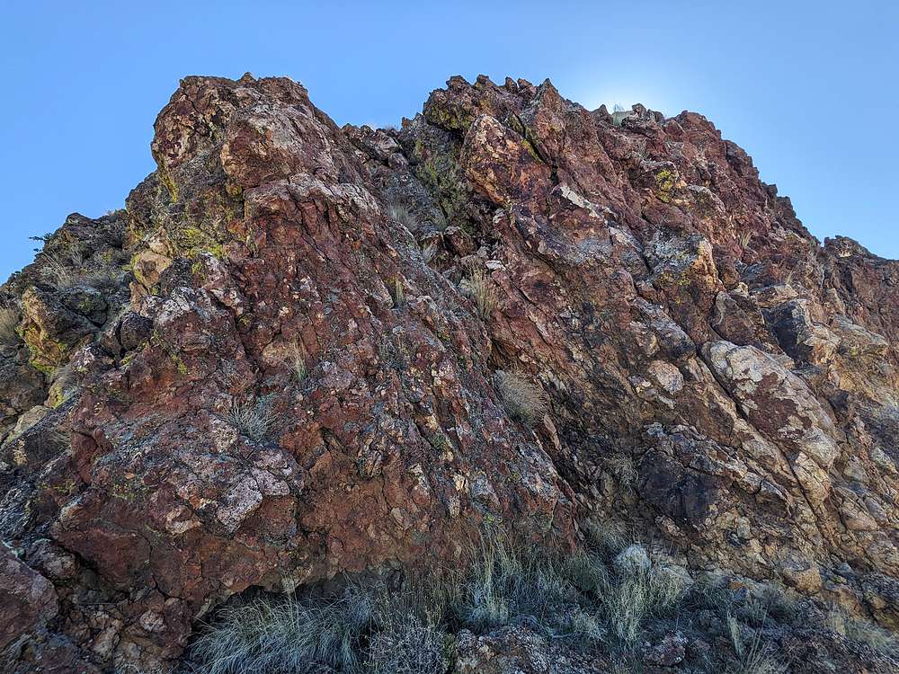
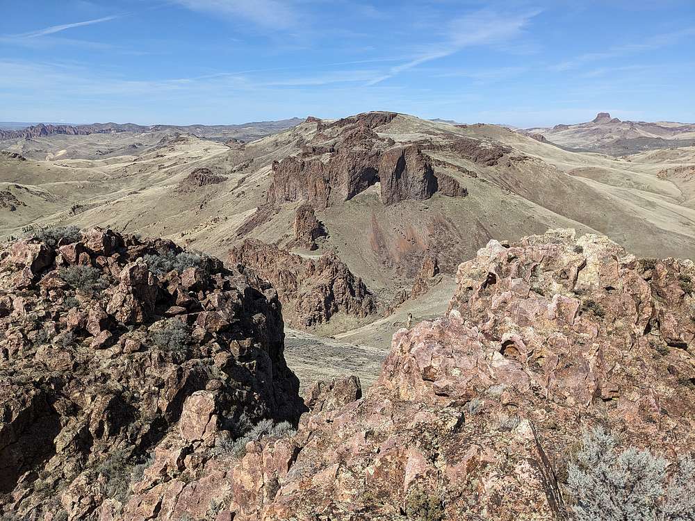
Atkins Butte involved a short scramble up a basalt incline just below the summit. From the highpoint, I had a good view toward the Honeycombs, with Long Gulch below.
|
|
|
After descending the north side of Atkins Butte, I headed toward butte #4, "West Atkins Butte" (3825').
|
|
|
Looking back on East Atkins and Atkins Butte, from the west.
|
|
|
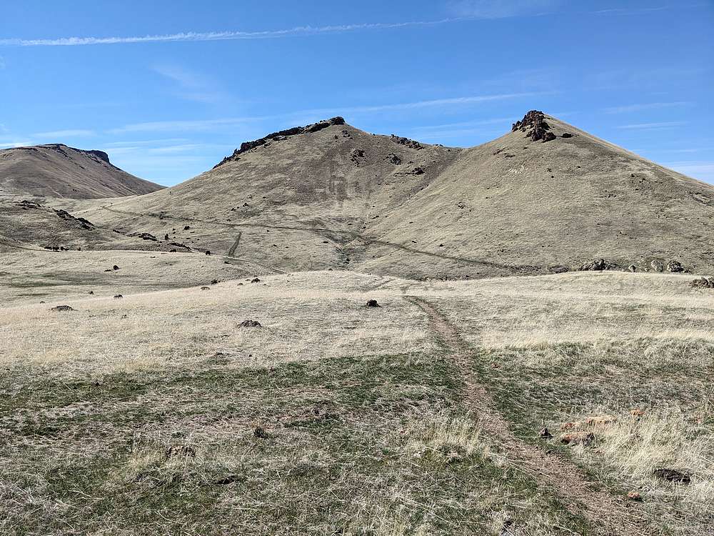
Nearing West Atkins, I decided to circle around its north side.
|
|
|
After a bit of fun route-finding, I found a way up on the west side of the summit block, which was a short but fun scramble.
|
|
|
West Atkins was the lowest summit of the day, but the most fun. Probably the best views too. Here's a view looking southeast up Long Gulch.
|
|
|
After descending West Atkins, I followed a jeep road for awhile, which helped me make up some time. Neat terrain, Atkins Butte in the upper right..
|
|
|
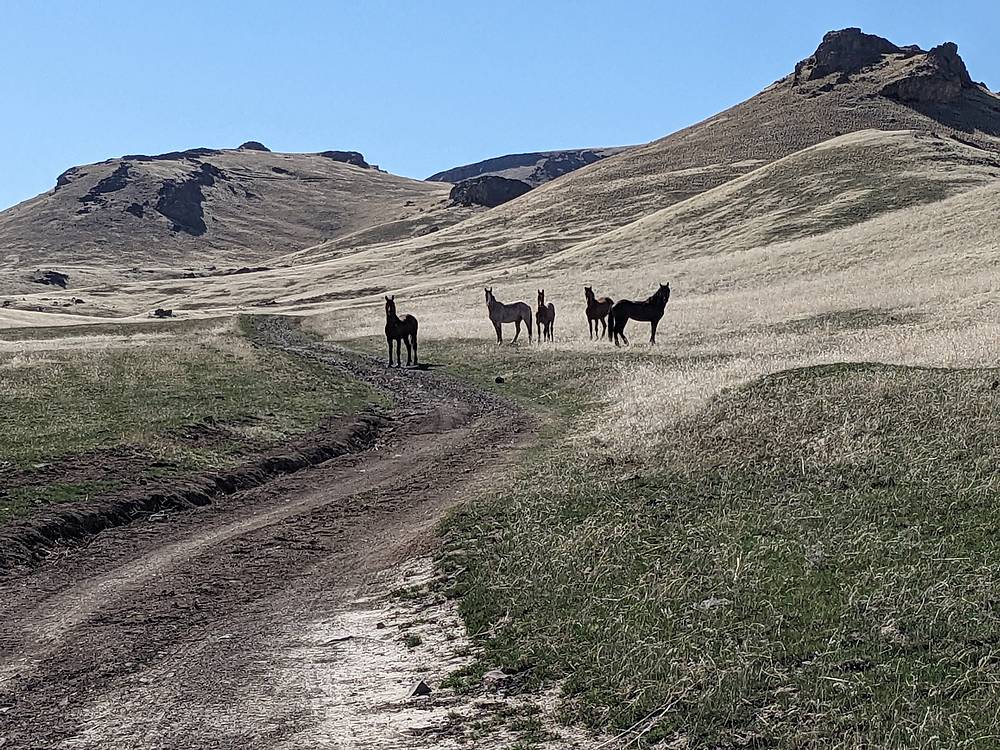
I came across this group of wild horses as I crested a rise on the road. Saw another group later too.
|
|
|
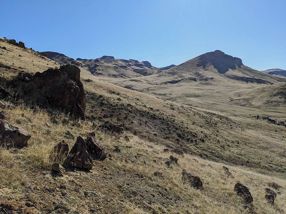
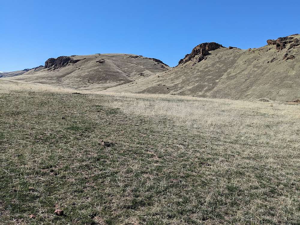
Four buttes down, 3 to go. The fifth one "North Craig Butte" (3983") is the broad summit ahead, and actually had an old jeep trail leading to the top.
|
|
|
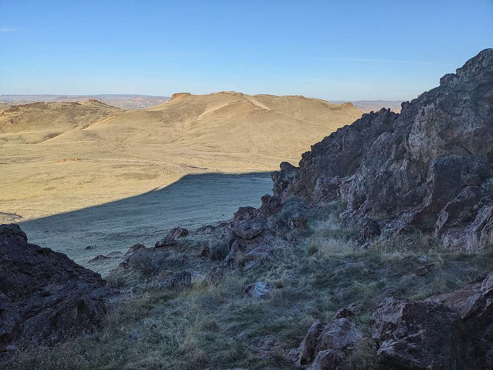
View looking north from the rounded summit of North Craig Butte. Three Fingers Rock is ever present in views from this neck of the woods.
|
|
|
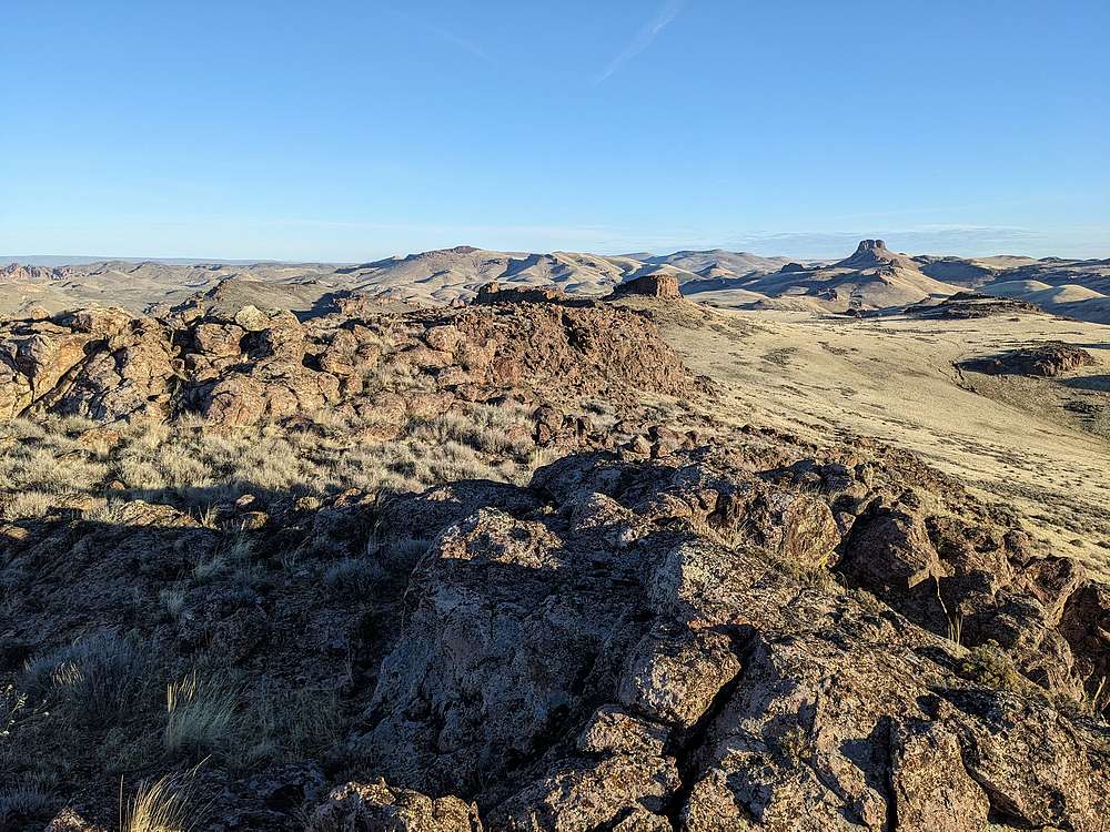
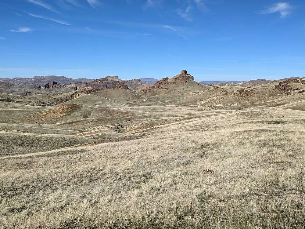
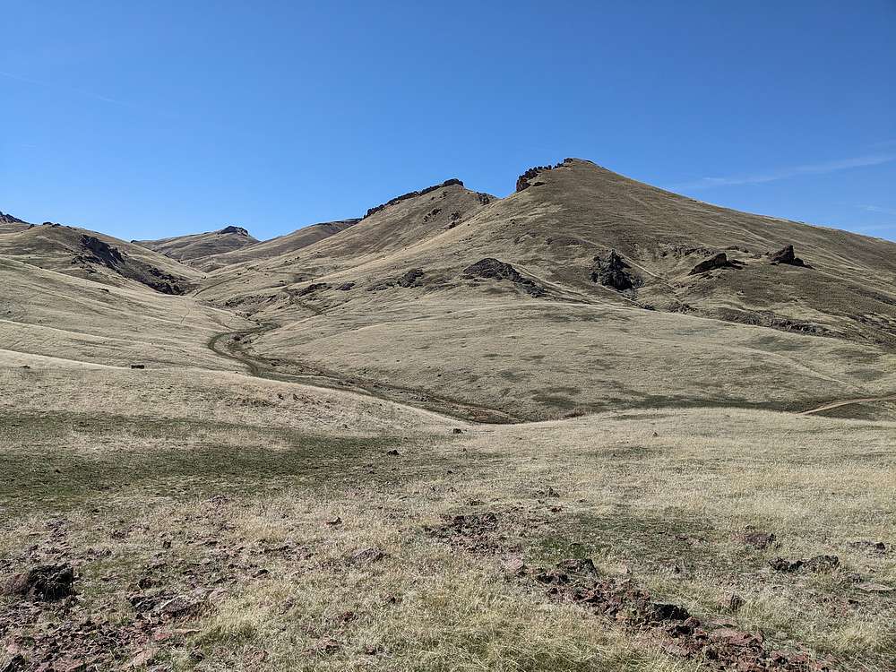
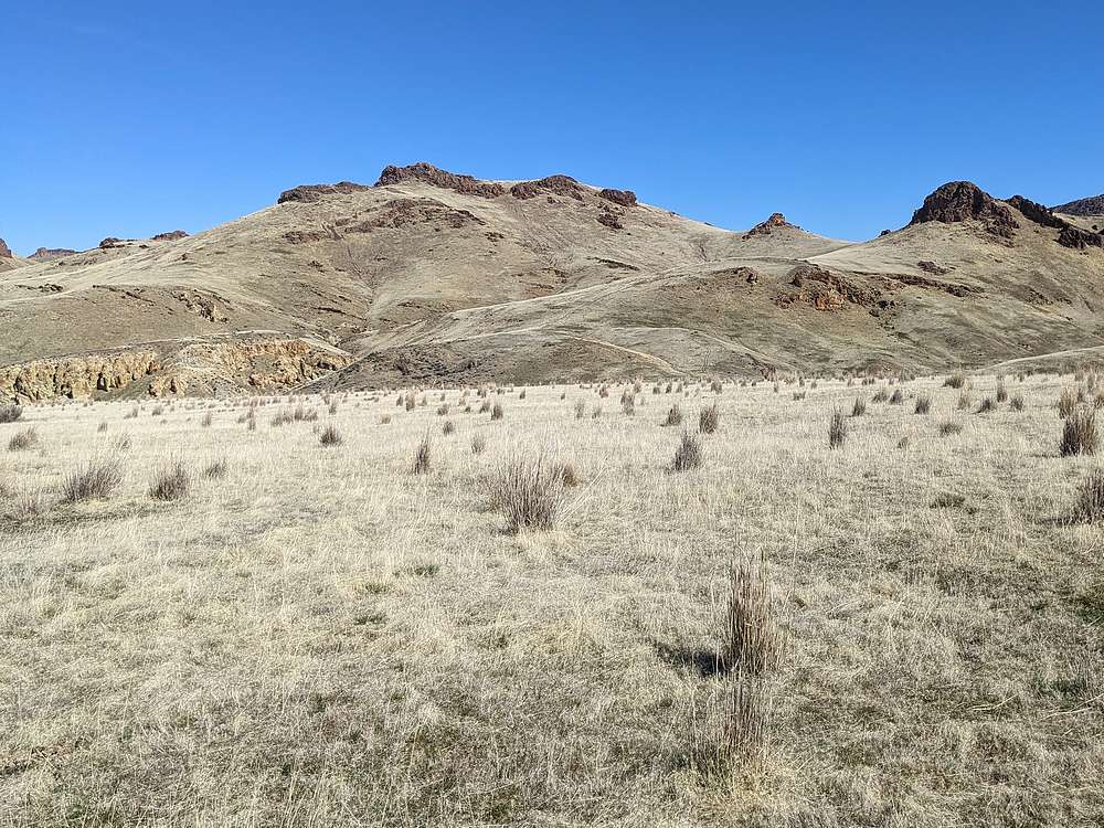
Next up, "South Craig Butte" (4220') on the far side of Craig Gulch. Its highpoint is the basalt crown in the center.
|
|
|
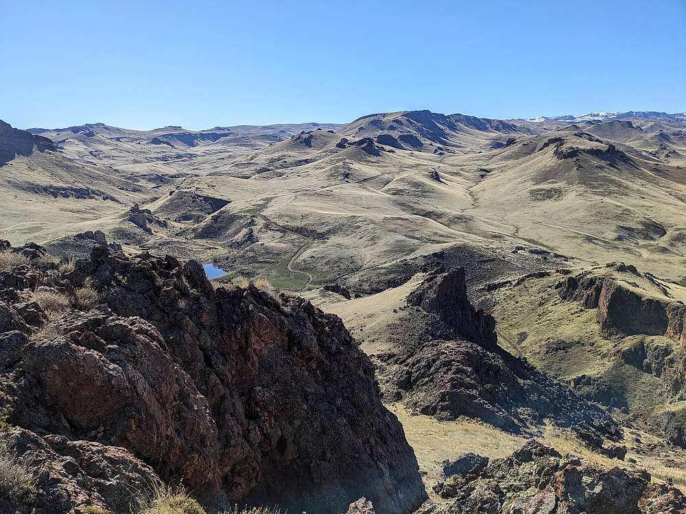
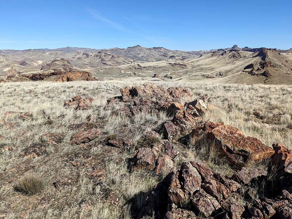
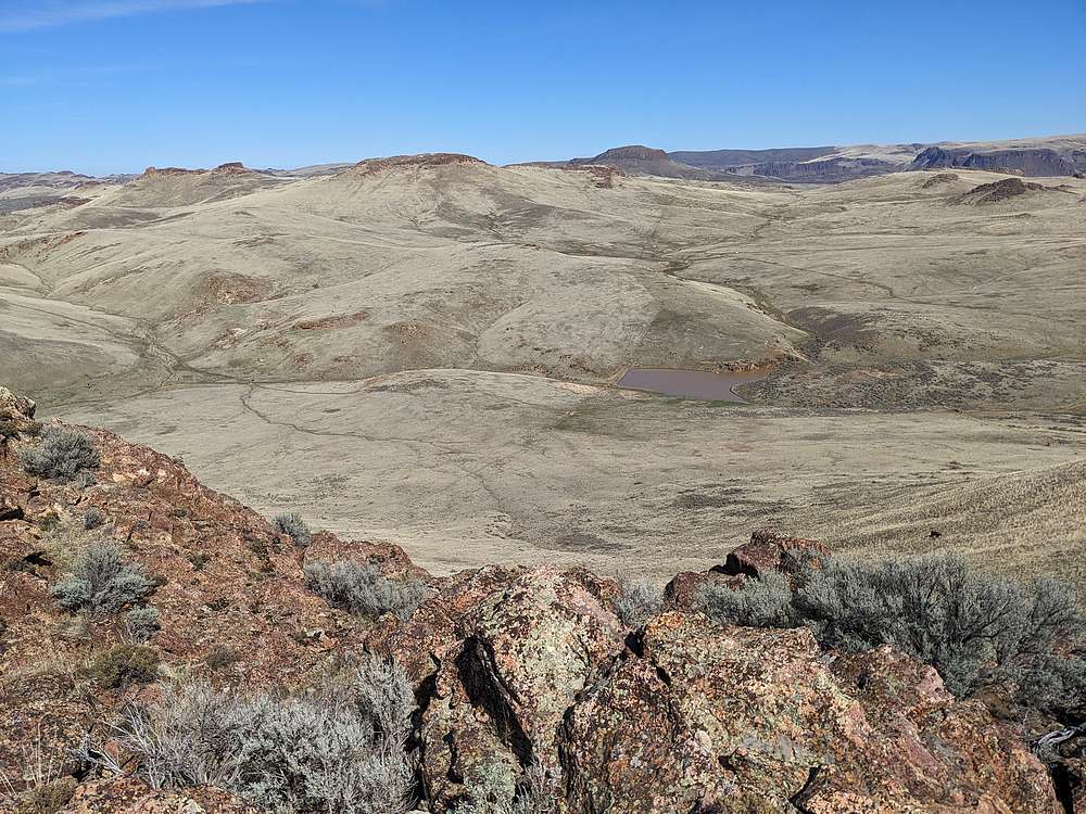
The Leslie Gulch area is visible to the west of South Craig.
|
|
|
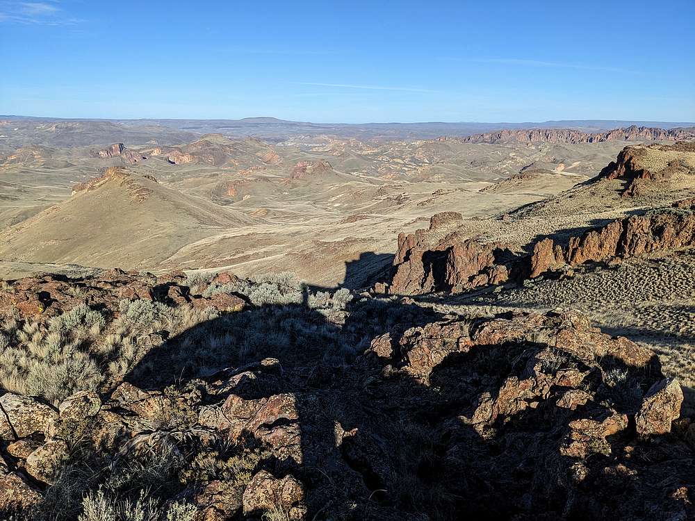
From South Craig Butte, a butte-iful view.
|
|
|
After descending from South Craig Butte, into Craig Gulch, I was able to follow a well worn cow trail up the hillside, then up and over to Long Gulch.
|
|
|
By the time I neared the 7th and final butte, "Long Gulch Butte" (4317'), my energy levels were waning.
|
|
|
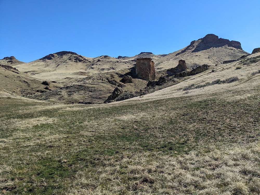
But soon enough I made it to the summit block, up through a rock band, then to the summit of Long Gulch Butte. Cool cliff formations below, and Three Fingers Rock in the distance.
|
|
|
From Long Gulch Butte, I could just barely make out my pickup in the distance. Still some ground to cover, but thankfully not much more uphill.
|
|
|
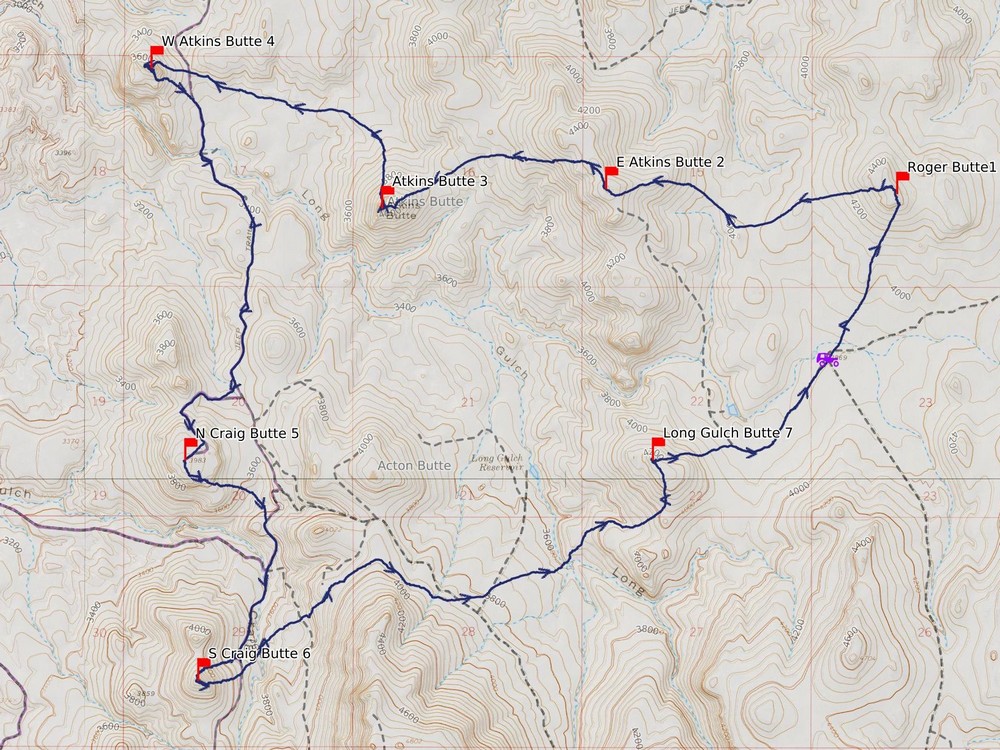
Map of my route. Just over 13 miles and 4500' elevation gain round trip, in a 7.5 hours of hiking. I went counter clockwise.
|
Related Links
- Trailhead Location
- My GPS Tracks
- Roger Butte: LOJ, Map
- East Atkins Butte: PB, LOJ, Map
- Atkins Butte: PB, LOJ, Map
- West Atkins Butte: PB, LOJ, Map
- North Craig Butte: PB, LOJ, Map
- South Craig Butte: LOJ, Map
- Long Gulch Butte: PB, LOJ, Map
|