|
Porcupine Ridge
Elevation 7789'
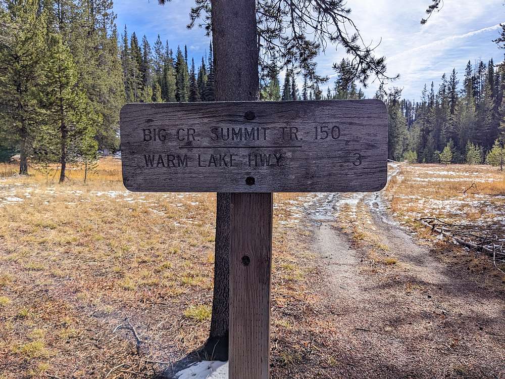
Porcupine Ridge is an unnamed peak located just north of Big Creek Summit, in central Idaho’s Lick Creek Range. Access is possible via a trail system from either Big Creek Summit, on the Warm Lake Highway. Or a from Gold Fork Meadows to the north. Proximity to the highway make this little peak reachable year round.
|
|
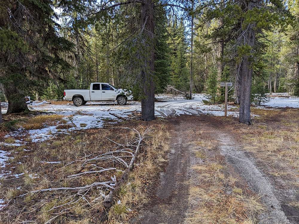
After an adventurous drive to Gold Fork Meadows via FS 411A/497, I arrived at the trailhead. I had visions of a quick 2-peak day, including Porcupine Ridge and an attempt of Six Bit Rock.
|
|
|
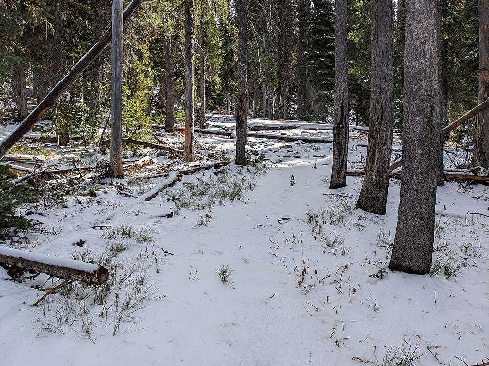
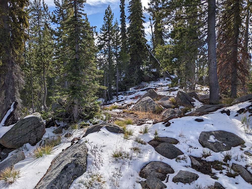
It wasn't long before snow cover made the trail hard to follow.
|
|
|
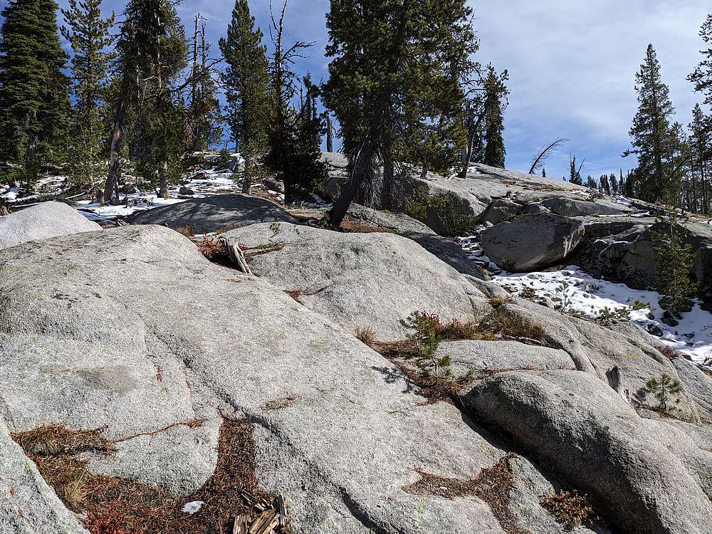
I decided to head for Six Bit Rock first. These granite slabs made for easier going, and kept me out of the snow for a bit.
|
|
|
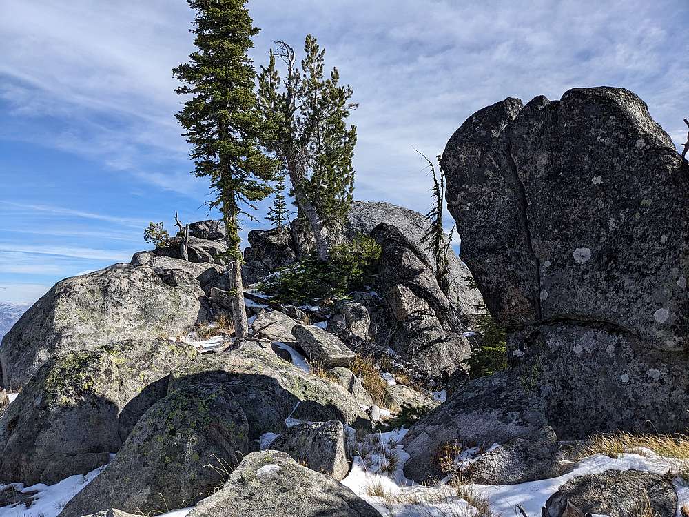
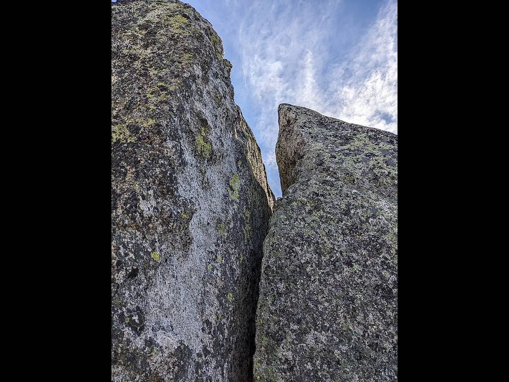
Here's the Six Bit summit area. Splattski had climbed a big crack to the summit in ski boots. Surely I could do the same in hiking boots, right?
|
|
|
Well lets just say I wasn't quite up to it this day. After trying a few angles, and getting to within 2 foot of reach to touch the summit, I decided to bow out.
|
|
|
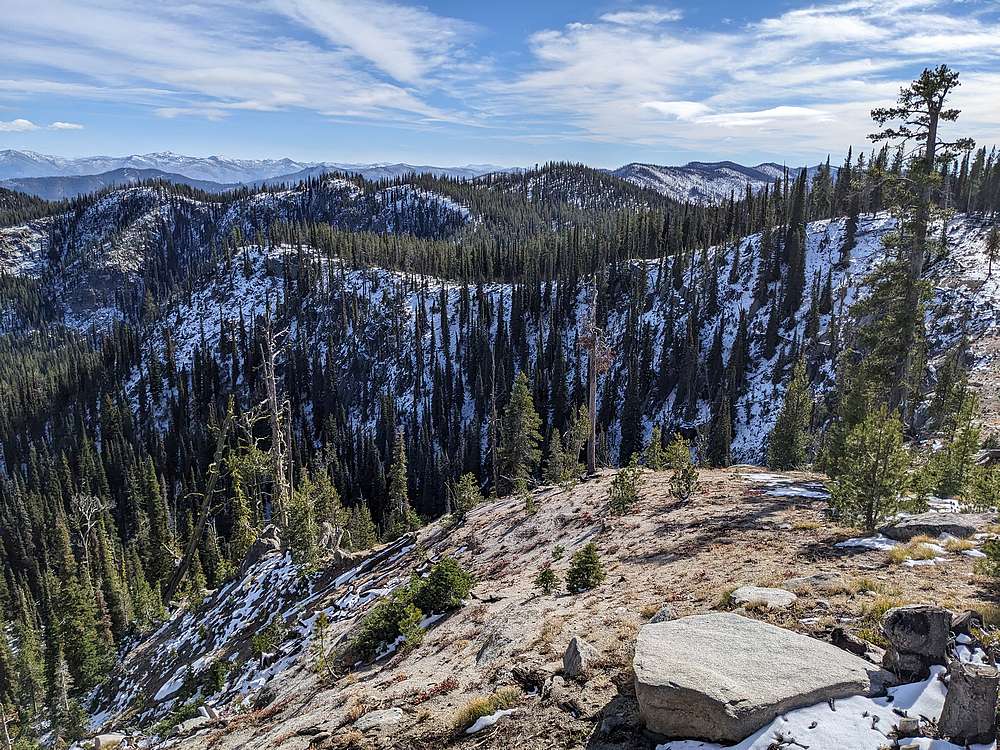
So I began hustling down the ridge toward Porcupine Ridge, visible in the center of this photo.
|
|
|
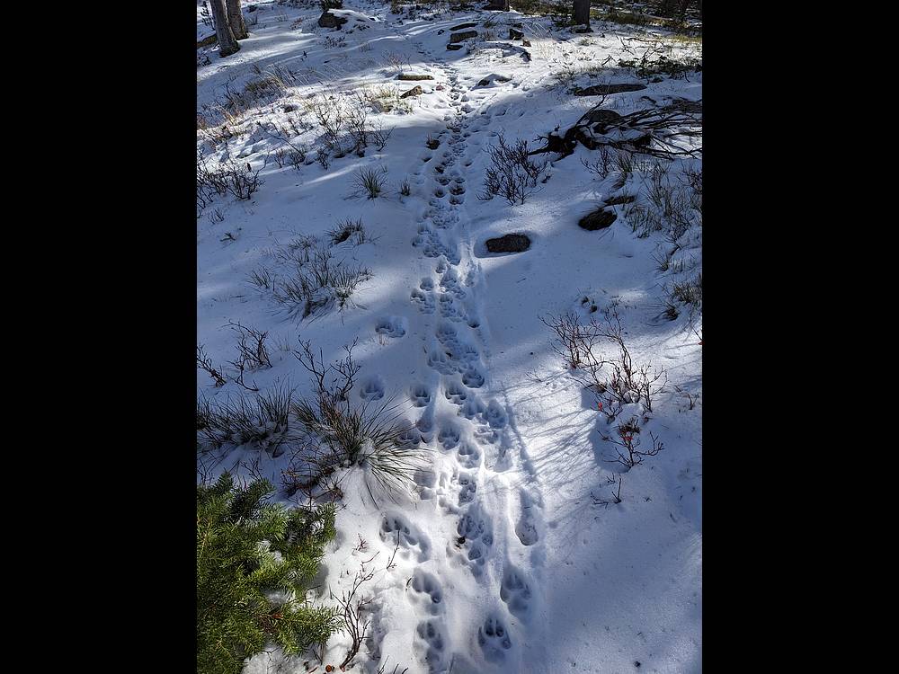
Once down to the saddle, I was able to find the trail, which had been broken in earlier in the morning by a few wolves!
|
|
|
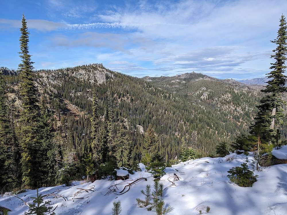
I paused briefly to take a look back at Six Bit Rock.
|
|
|
With the fresh wolf tracks all around, I kept my head on a swivel as I left the trail and headed up Porcupine Ridge.
|
|
|
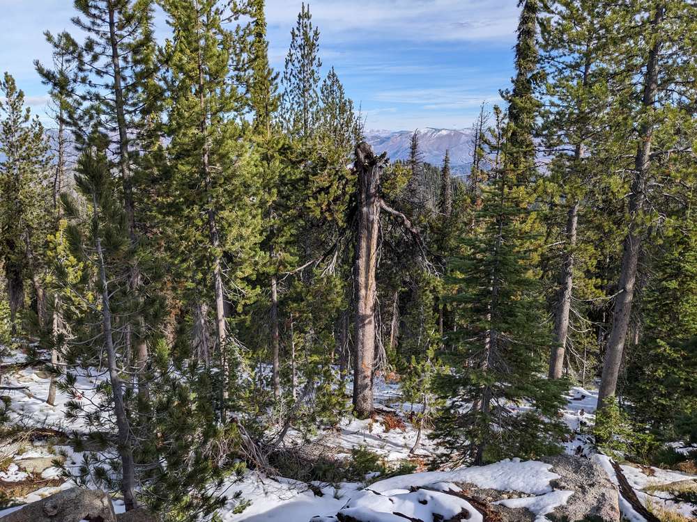
Views from the summit of Porcupine Ridge were partially obstructed by forest. No worries, I wasn't planning to stay long anyway.
|
|
|
I did my best to follow the trail back to the truck, but snow coverage made it hard to see. So I mostly followed my nose.
|
|
|
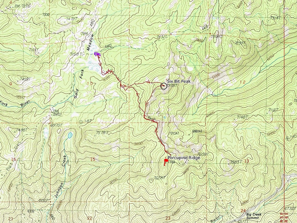
Map of my route. Just over 5 miles and 1700' elevation gain round trip, in 2.5 hours of hiking.
|
Related Links
|
 |
IdahoAlpineZone is unofficially sponsored by Skippy Peanut Butter.