|
Cold Springs Peak
Elevation 5901'
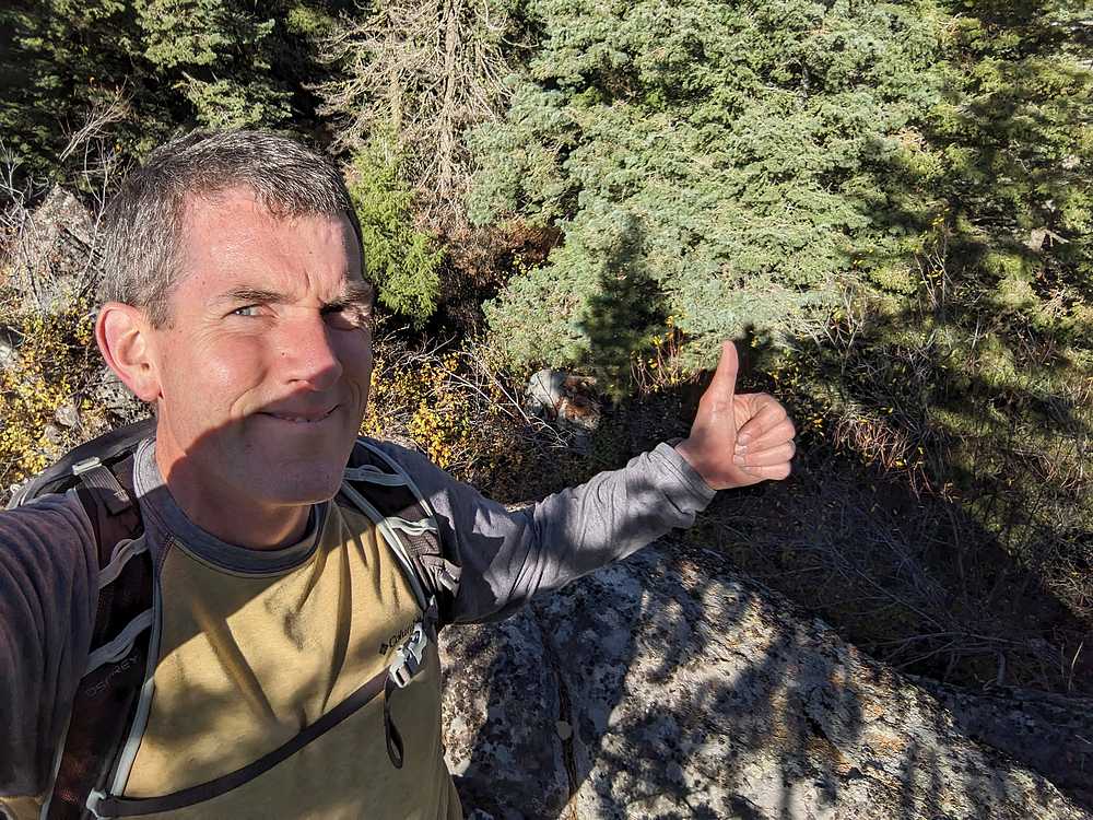
Unofficially named “Colds Springs Peak” is an obscure and minor summit located in southwest Idaho’s West Mountains, about midway between the towns of Horseshoe Bend and Cascade. Nothing particularly interesting about this one. It can be done as a steep climb from Cold Springs campground, or as a short hike from FS road 643M.
|
|
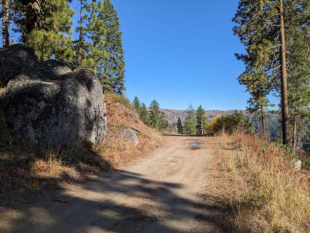
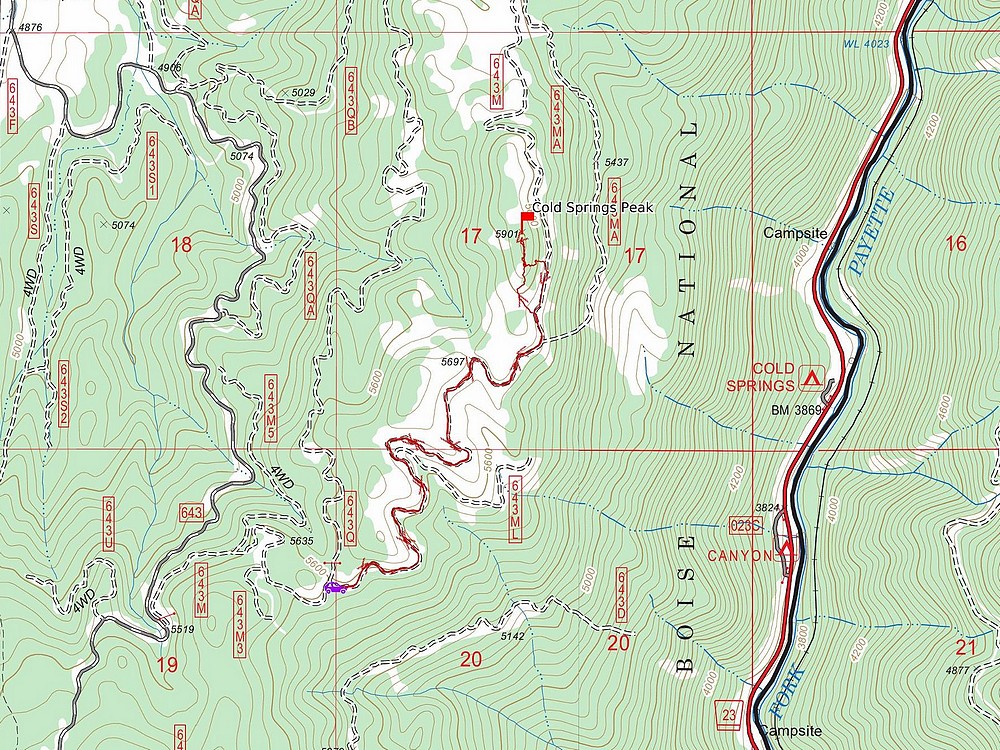
I scouted this one out as a short hike on the way to Cascade. Along the way I drove up Banks Grade, past Dry Buck Summit, and up FS road 643M. I parked at a wide spot in the road, and started hiking. My goal was to hike at least 2 miles, and from where I parked it ended up being 3.5 miles round trip.
|
|
|
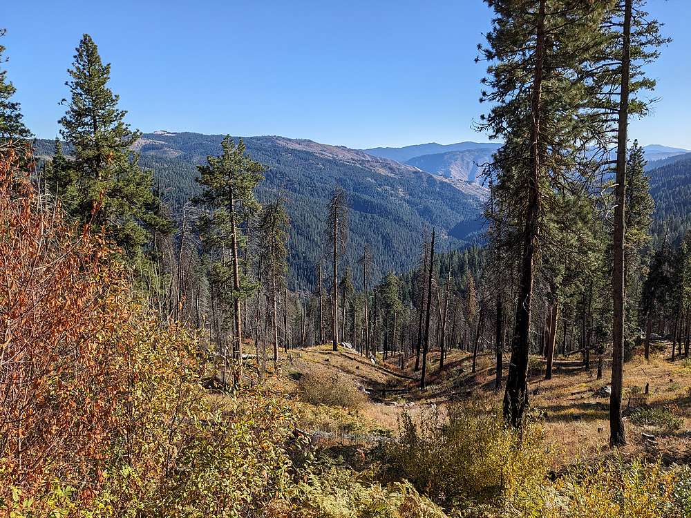
It was a pleasant afternoon, flat easy hiking along the road, and occasional views.
|
|
|
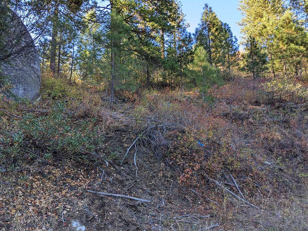
After about a mile and a half, I left the road and headed up a game trail into the brush.
|
|
|
The bushwhacking was fairly light on the way to the summit area indicated on the map.
|
|
|
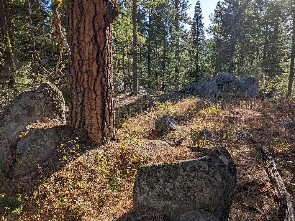
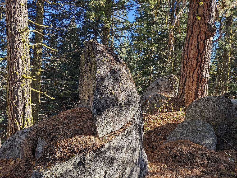
Here's the highpoint 5901' marked on the map. But along the way I’d seen some boulders that appeared nearly as high. I couldn't see them through the trees, so I decided to backtrack to get a closer look.
|
|
|
Getting up the alternate highpoint was a little tricky. I had to use a "tree assist" to get up on top of the boulders. Based on my GPS, it was exactly the same height as the marked summit. So if you want to claim this mighty peak, you better climb both points. After a careful downclimb from the summit boulder, I bushwhacked down to the road, and hiked back to my truck.
|
|
|
Map of my route. Just over 3.5 miles and 300' elevation gain round trip, in 1 hour of hiking.
|
Related Links
|
 |
IdahoAlpineZone is unofficially sponsored by Skippy Peanut Butter.