|
Garland Peak
Garland Peak is an obscure and unofficially named mountain located in central Idaho’s White Cloud Range. It is found above Garland Lakes, toward the west side of the range. There are some nearby trails in the area, just to the north of the peak. But the shortest approach comes via a mostly forested ridge walk from the southwest. If hiking via this route, it is possible to cross unofficially named “Gold Creek Peak” along the way, which makes for a sporting two 9er day.
|
|
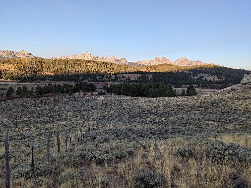
It was a crisp cool morning, and I parked where Gold Creek meets the highway. There's a faint trail leading along this fence line, which allowed me to skirt along the north side of Idaho Mountain Ranch's private property boundary.
|
|
|
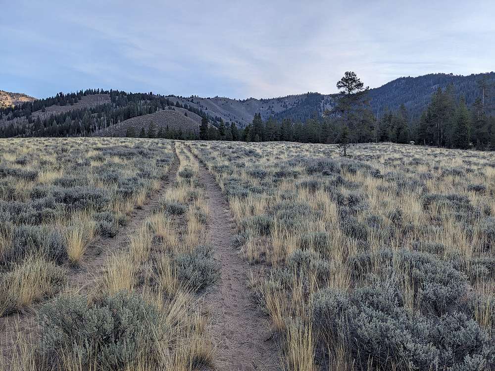
Later, a two track road lead me up Cub Canyon.
|
|
|
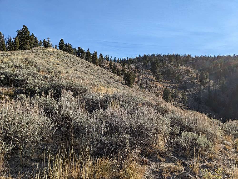
After the two track petered out, I made my way up this faint ridge.
|
|
|
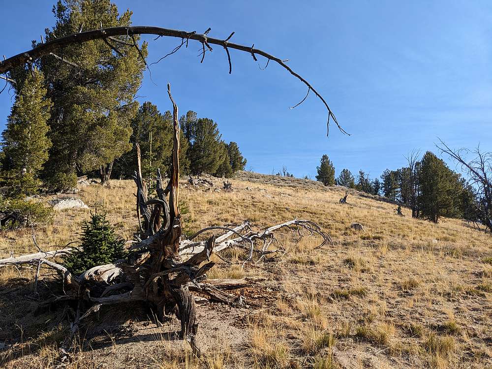
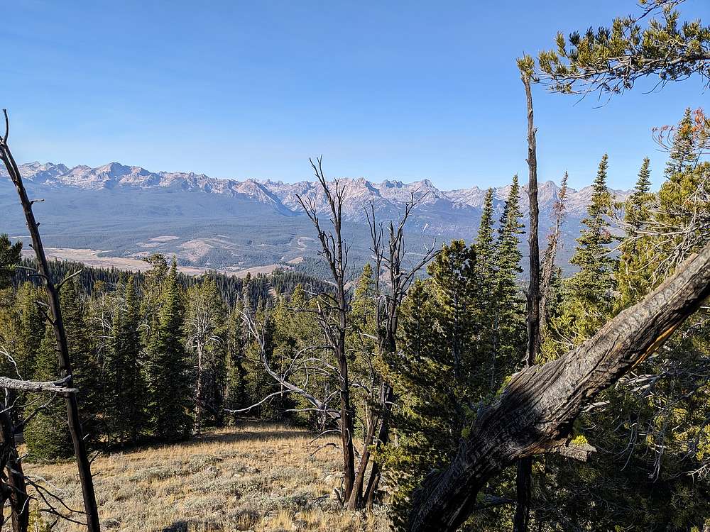
Once the faint ridge topped out, I was briefly disoriented before heading north along the ridge. After a fair amount of bushwhacking steeplechase over downed trees, it was nice to find a opening for the final stretch to the summit of "Gold Creek Peak", point elevation 9001' on the maps.
|
|
|
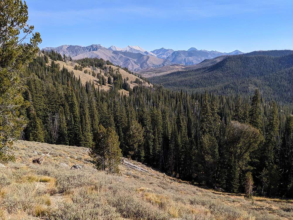
View of the Sawtooth's from near the summing of Gold Creek Peak.
|
|
|
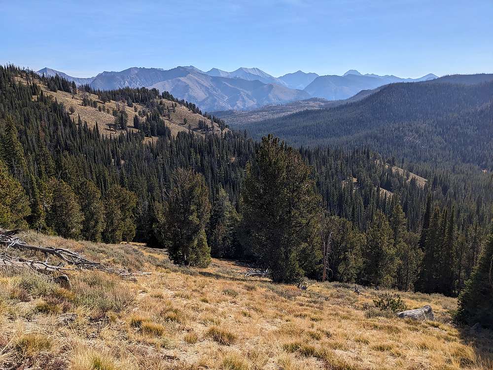
I continued along the ridge, with plenty more bushwhacking and steeplechasing. After a while, I decided to leave the ridge and follow a game trail that contoured at ~8800' on the south and west side of the ridge. Along the way, I was treated with occasional views looking into the central White Clouds.
|
|
|
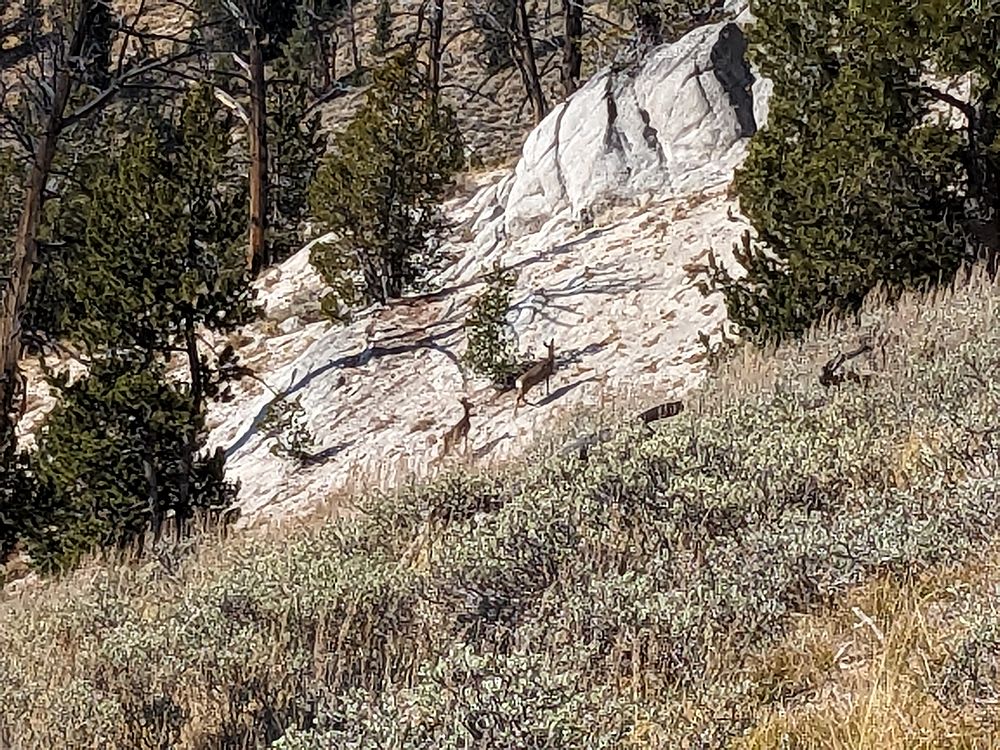
The game trail was intermittent at best, but I did see some game!
|
|
|
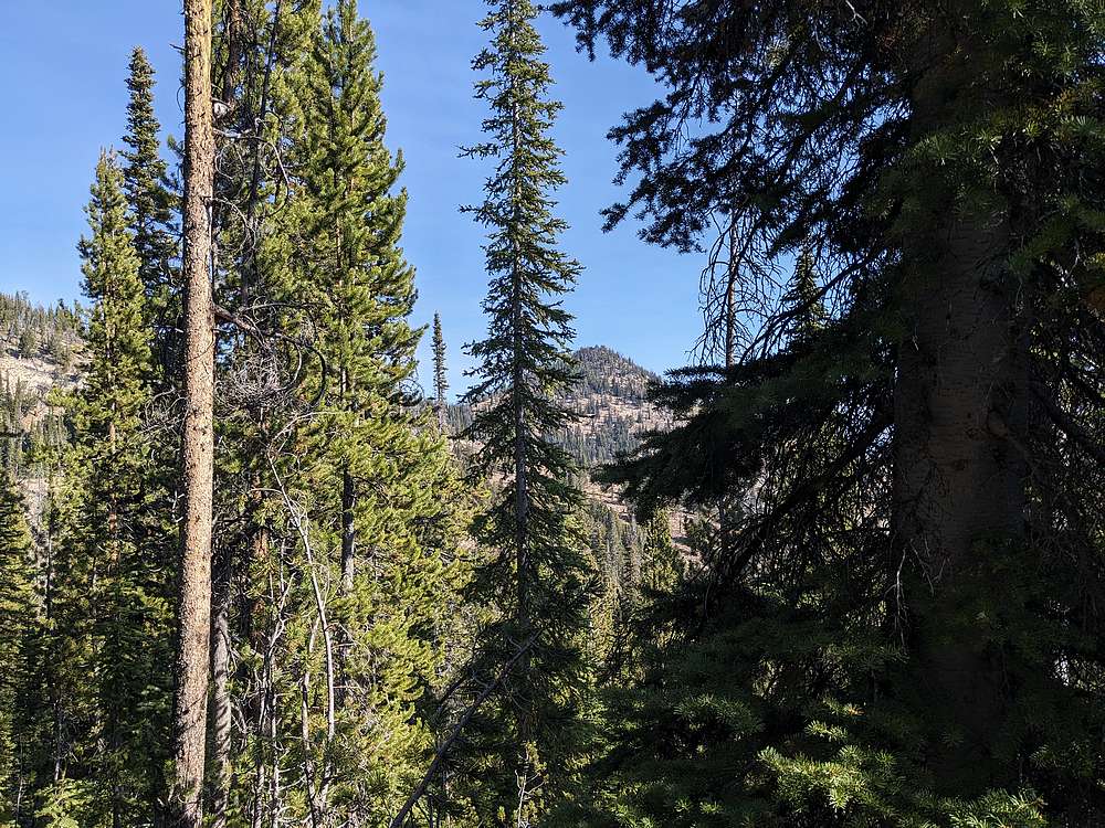
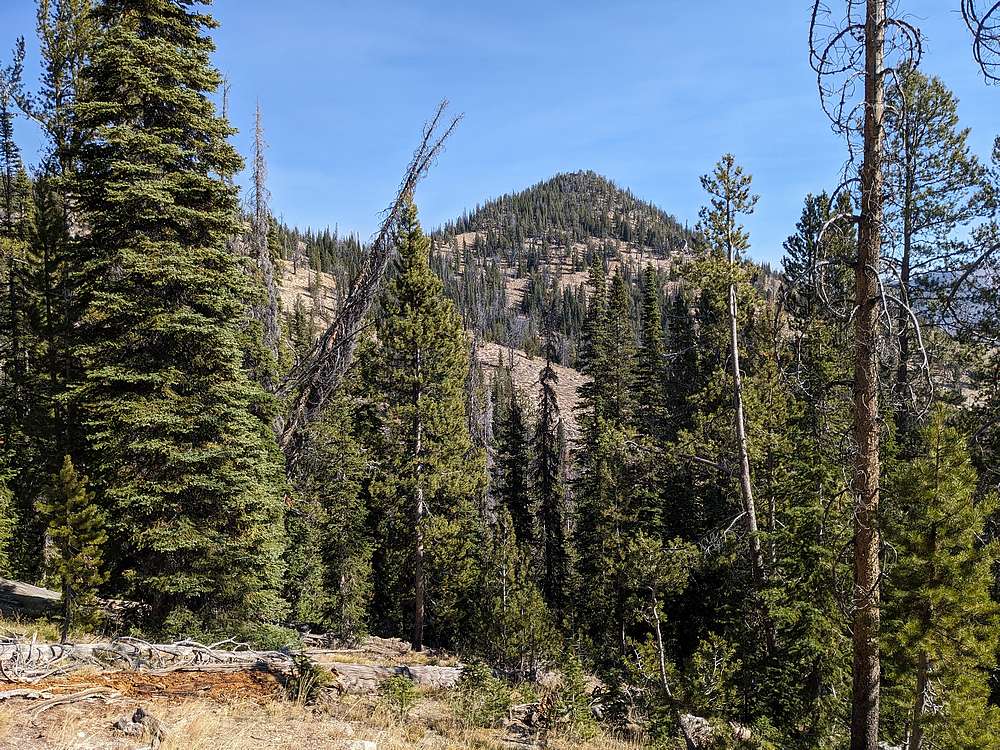
First view of Garland Peak through the trees.
|
|
|
A better view of Garland Peak as I got closer. Still some side hilling to tackle before getting there.
|
|
|
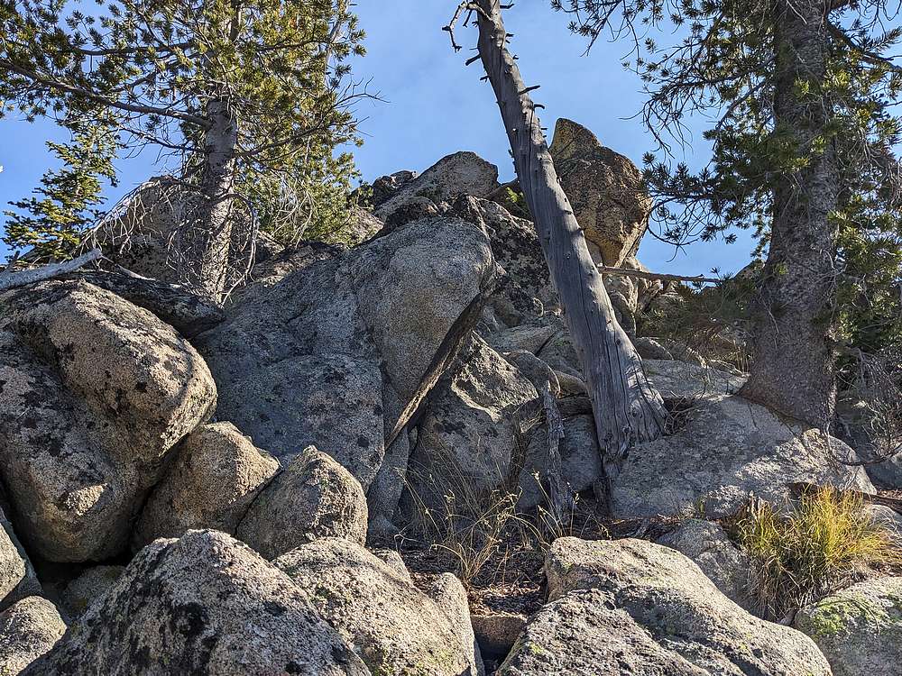
Once at the summit block, I was treated to a few scramble moves to reach the top of the bouldery summit.
|
|
|
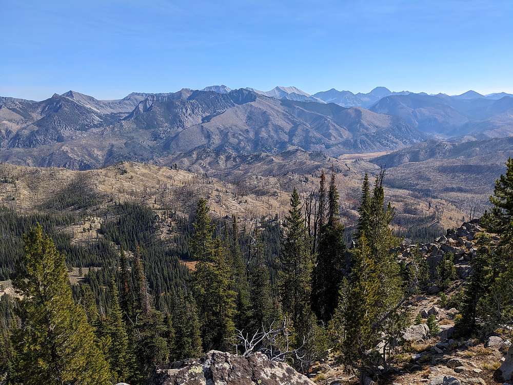
Central White Clouds from the summit of Garland Peak. A great spot for a snack.
|
|
|
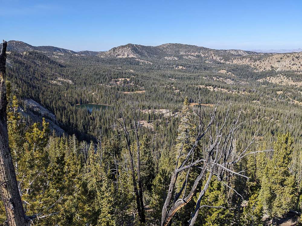
Garland Lake and Lookout Mountain, from Garland Peak. This peak feels remote.
|
|
|
I attempted to mostly retrace my path on the way back. Sidehilling and bushwhacking made this laborious, but I did enjoy occasional views along the way.
|
|
|
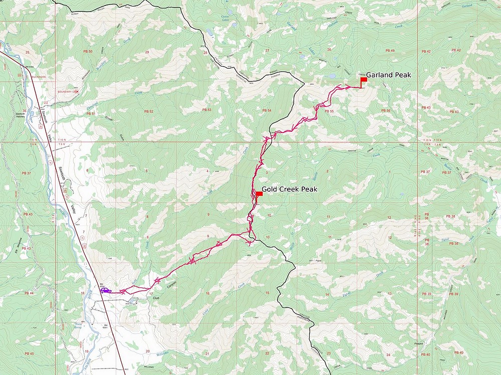
Map of my route. Just over 15 miles and 5100' elevation gain round trip, in 9 hours of hiking.
|
Related Links
|