|
Star Hope Traverse
Star Hope Canyon is located in eastern Idaho’s Pioneer Mountains, and is most easily accessed via Copper Basin. The head of the canyon is ringed by 4 unofficially named peaks, that can be combined into a single outing, and make for an enjoyable ridge walk.
|
|
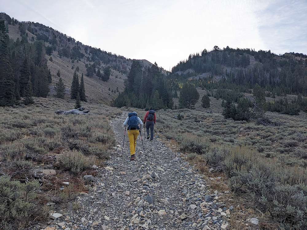
After driving to Star Hope Canyon via Copper Basin, we parked at the bottom of the old mining road leading up Star Hope Gulch. Michael and Steve lead the way.
|
|
|
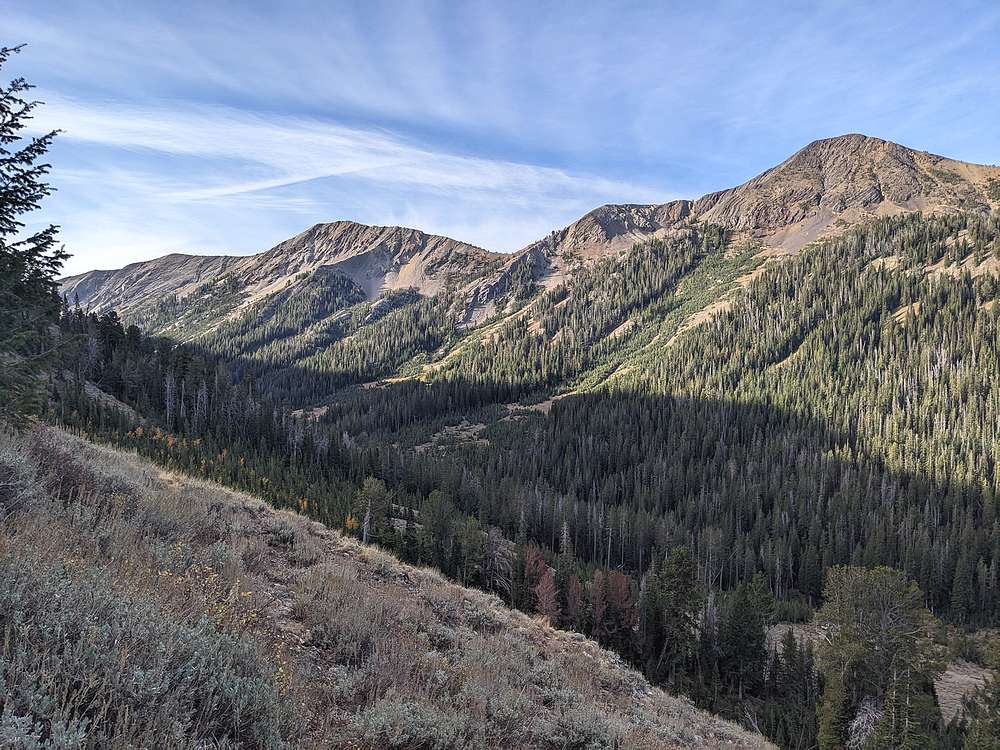
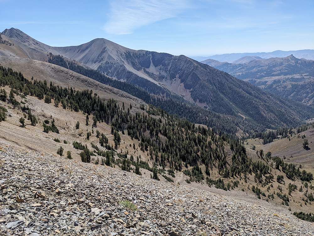
Views improved as we climb. Here's a look across the valley at Skyline Peak and Coco Peak, which we'd visit at the end of the day.
|
|
|
After a mile and a half, and 1000' of climbing, we reached the end of the mining road.
|
|
|
Here's Steve climbing after we left the road, with the main crest of the Pioneers in the background.
|
|
|
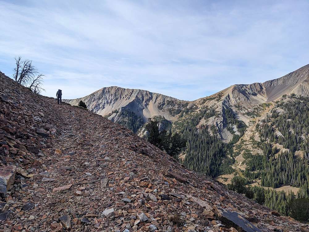
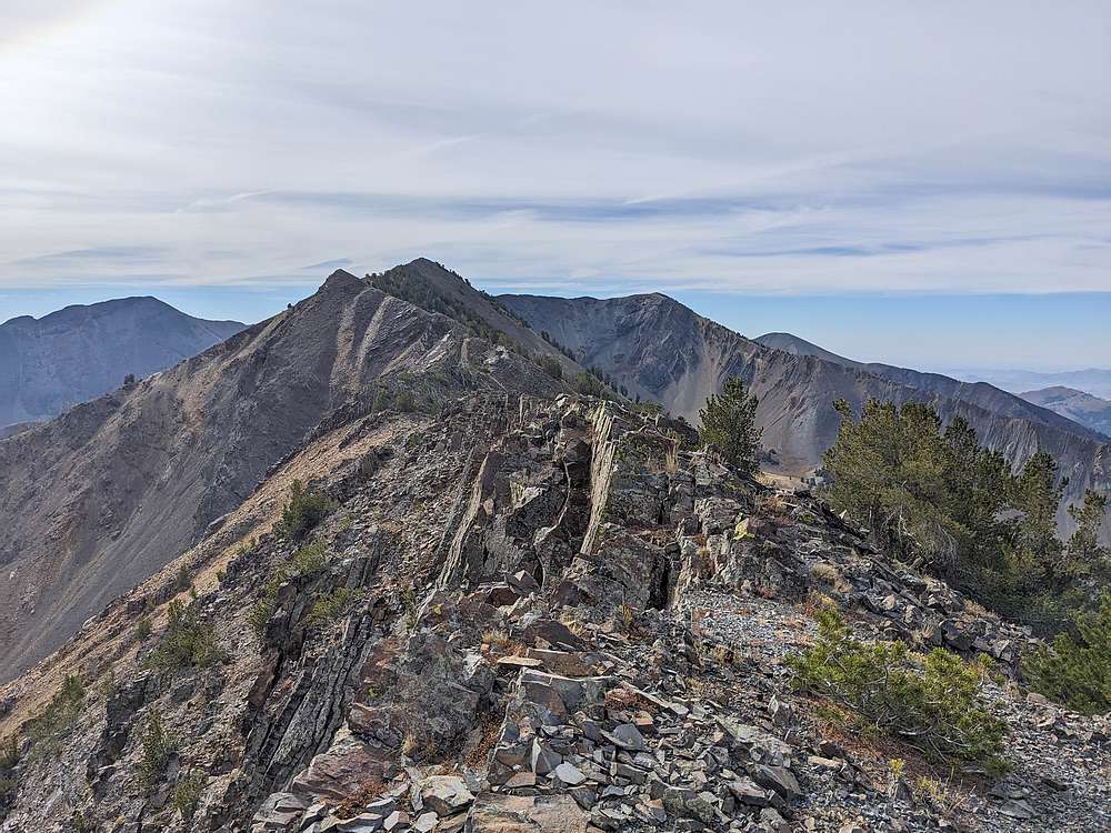
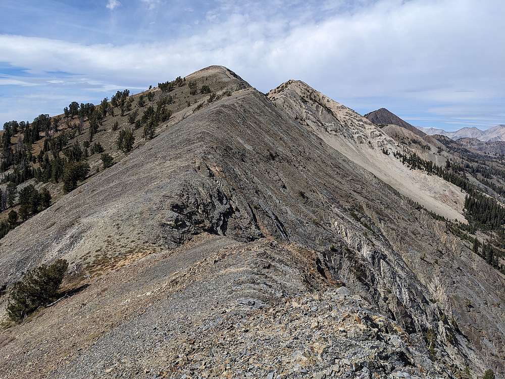
We were happy to reach the ridge, and here's a good view of the first stretch of ridge leading to South Star Hope Peak.
|
|
|
Nearing the summit of South Star Hope Peak with Drummond Peak on the right.
|
|
|
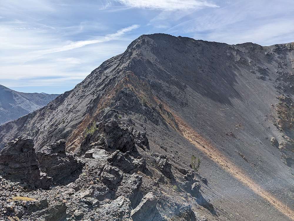
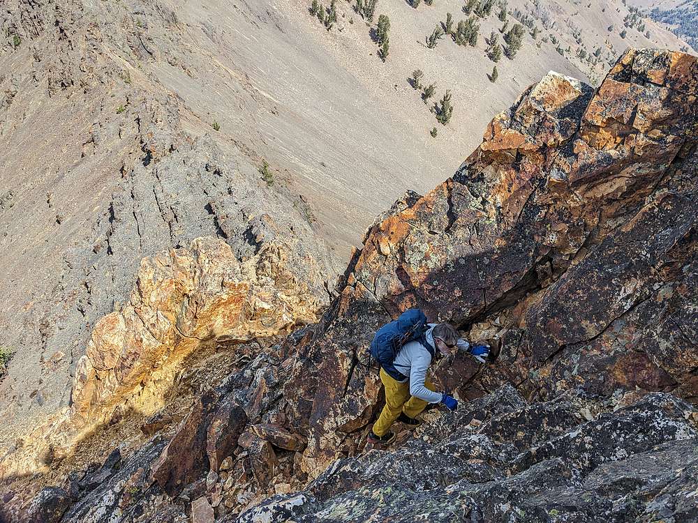
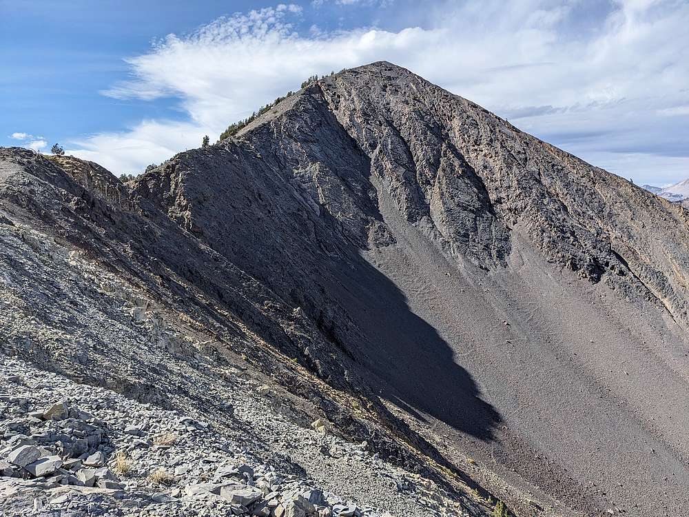
After South Star Hope Peak, we faced the crux of the day, this challenging looking section on the north ridge of Drummond Peak.
|
|
|
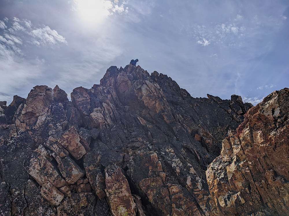
Michael took the high line through the crux.
|
|
|
Steve and I contoured below, and then up.
|
|
|
Above the crux, here we are on the final stretch to the summit of Drummond Peak.
|
|
|
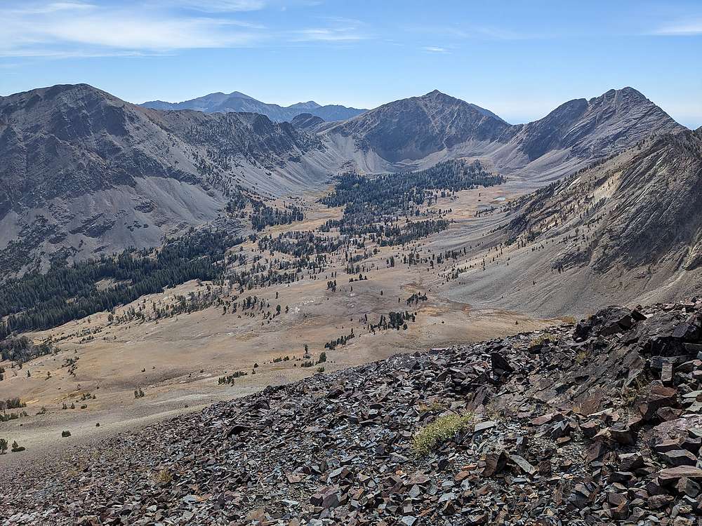
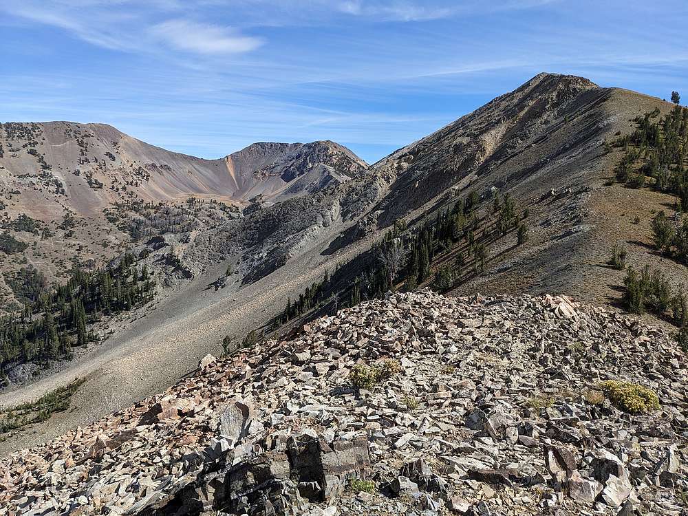
Looking down on the west fork of Muldoon Canyon, an area I have now added to my "must visit" list.
|
|
|
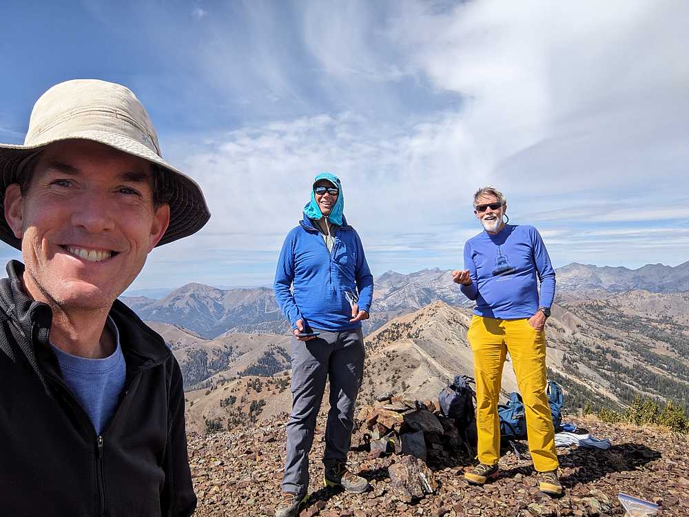
Group shot on the summit of Muldoon Peak, aka Pioneer Mountain.
|
|
|
On the way down I spotted a momma bear and two cubs on these slopes above Drummond Mine. Too bad I was too slow with the camera to catch them.
|
|
|
Next up was the climb to Skyline Peak.
|
|
|
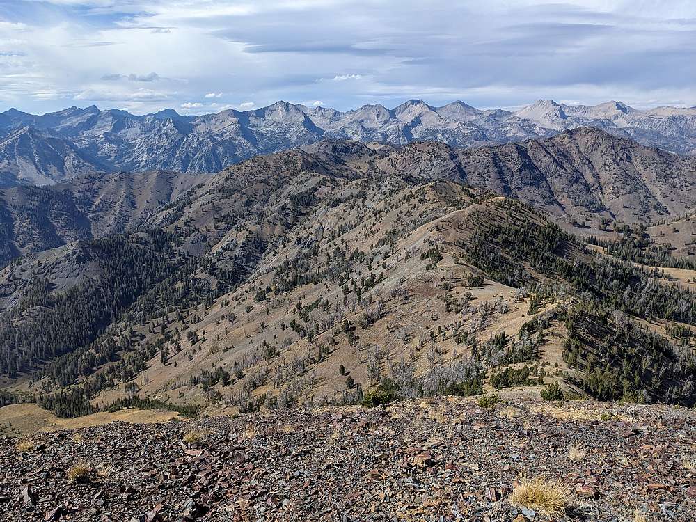
The summit of Skyline Peak was a great vantage point the view the main Pioneers, in the background above Coco Peak.
|
|
|
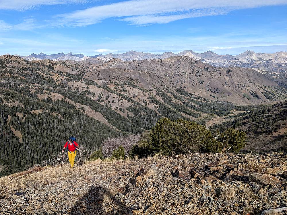
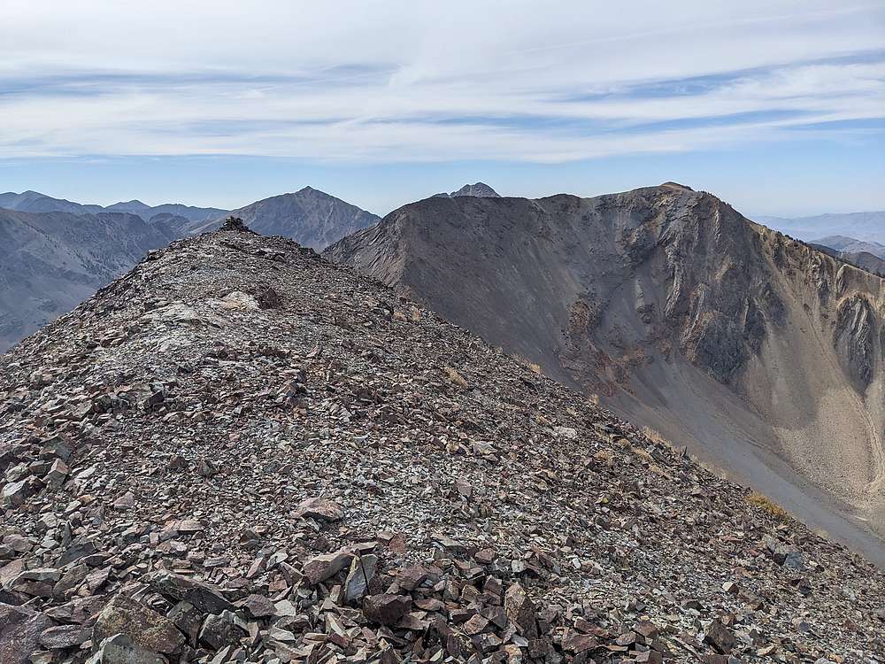
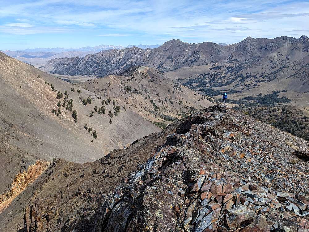
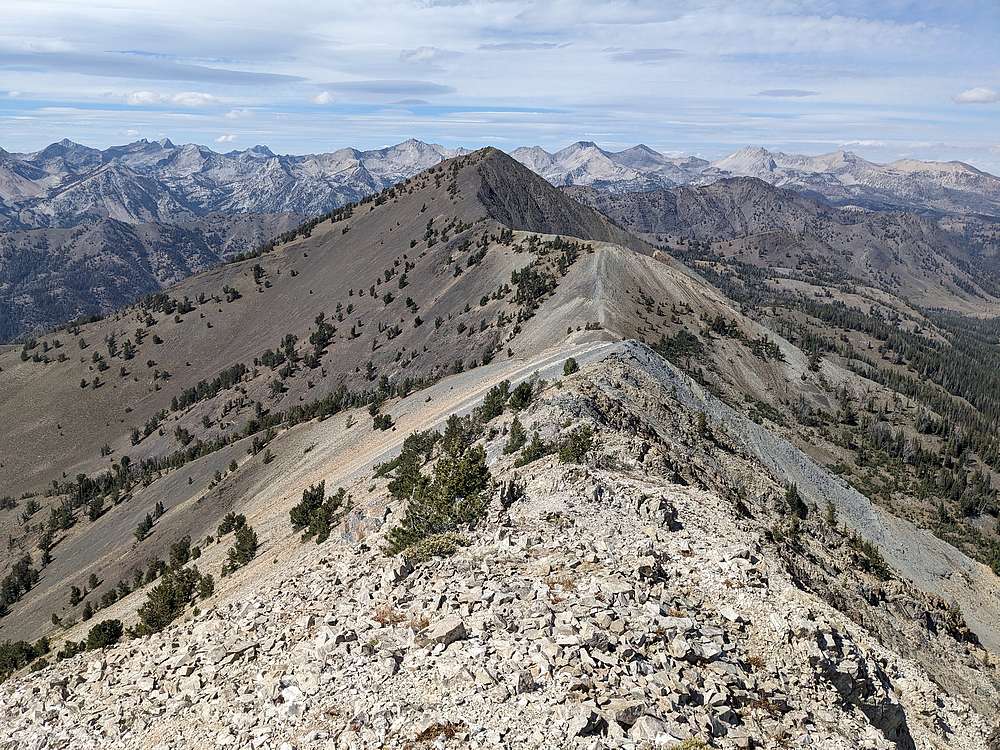
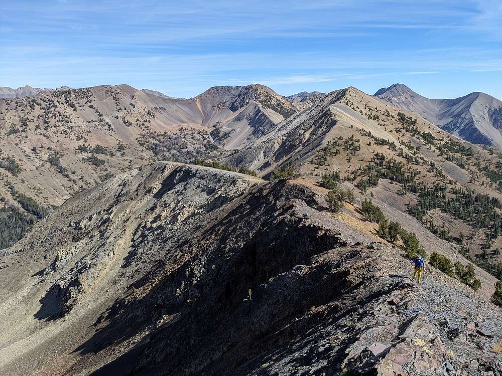
Here's a view looking back on the first 3 peaks. Just 1 more to go!
|
|
|
Heading up Coco Peak. (Look at a map, and you'll see why Rick Baugher gave it this name.)
|
|
|
Steve approaching the summit of Coco Peak.
|
|
|
The main Pioneers are impressive from Coco Peak. We dropped north down the ridge to the next saddle, before descending eastward back into the valley.
|
|
|
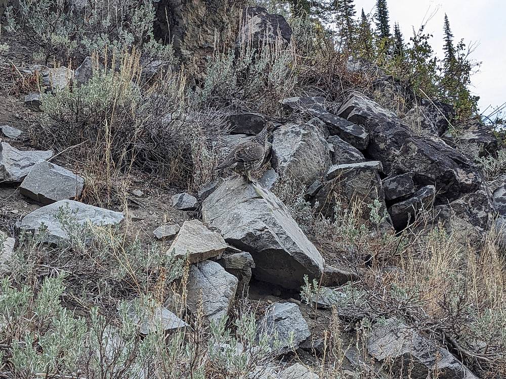
Grouse perched on a rock as we descended.
|
|
|
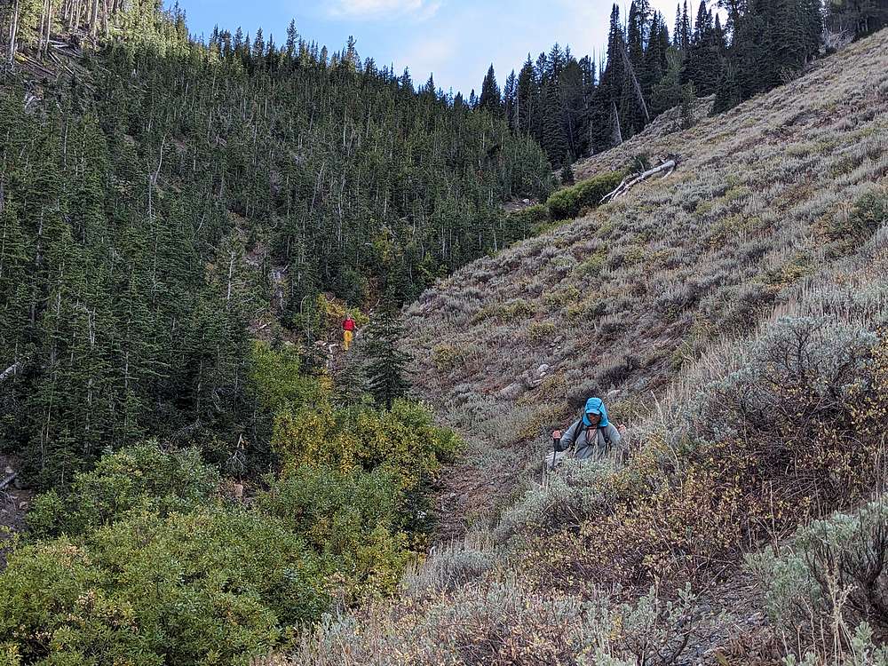
Final section before we reached the valley floor. A little bushwhacking, but this route worked out pretty well and landed us pretty close to where we parked.
|
|
|
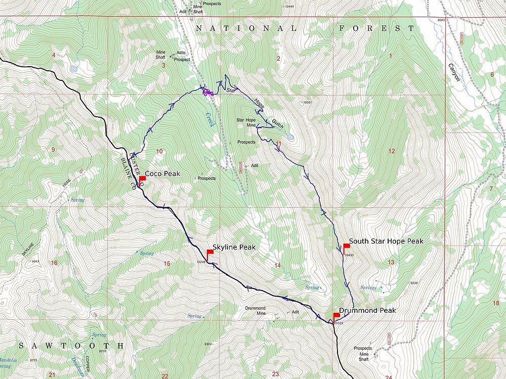
Map of our route. About 8 miles and 3900' elevation gain round trip, in a fairly leisurely 9 hours of hiking. Great day in the mountains!
|
Related Links
|