|
Griswold Peak & North Ryan Peak
The North Fork Big Lost River drains from the east side of central Idaho’s Boulder Mountains. There are a handful of 11-thousand-foot peaks located near the headwaters, including Griswold Peak and North Ryan Peak. Its possible to combine the two peaks into a single outing, with an added bonus of visiting the highly scenic North Fork Lake as well. Throw in Idaho top 200er “Cougar Peak”, and you have the makings of a great 3-peak day in the mountains.
|

|
I made the four hour drive from Boise the night before, and slept in the back of my vehicle at the North Fork Lake trailhead. The next morning, I was ready to hit the trail!
|
|
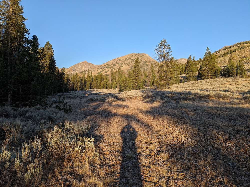
|
After crossing the river/creek, Griswold Peak came into view.
|
|
|
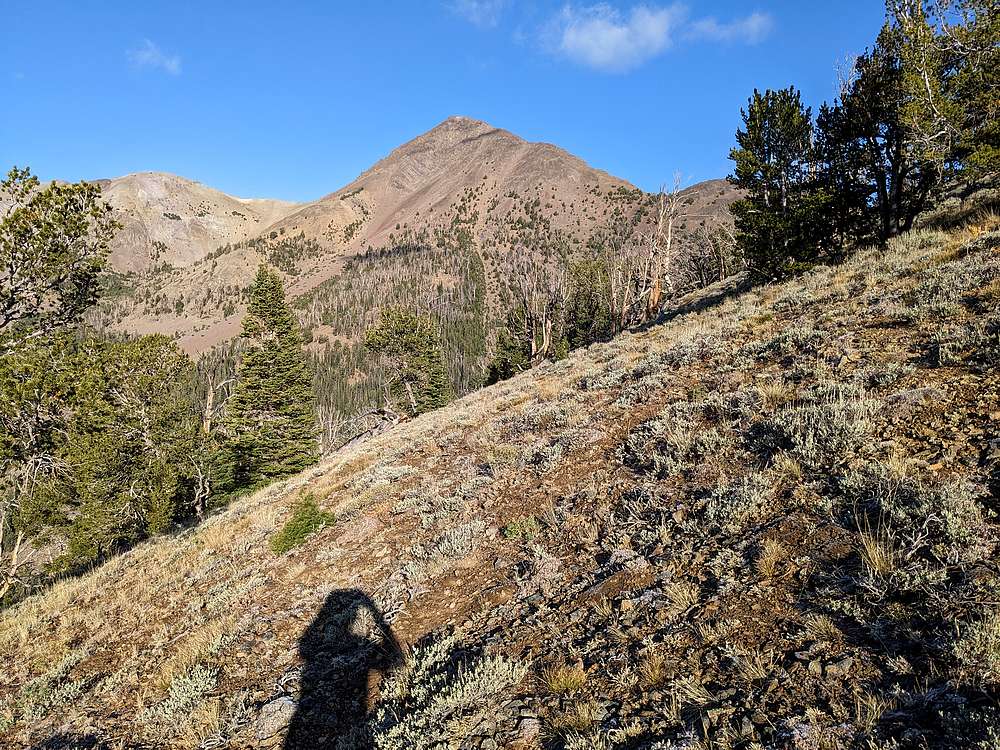
Soon enough, I headed north up mostly open slopes. My goal was the saddle east of Griswold.
|
|
|
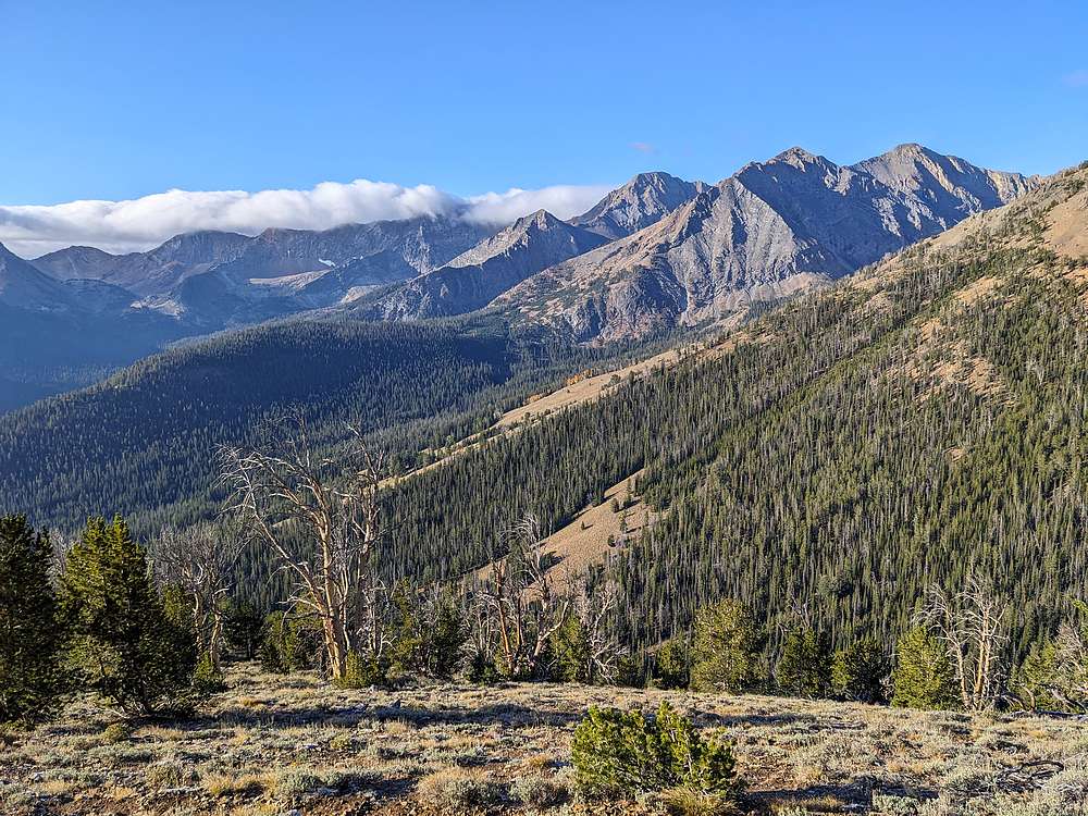
Steady uphill on the way to the saddle. I paused often to soak in the views.
|
|
|
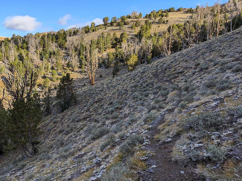
Higher up, I found a well used game trail traversing to the saddle.
|
|
|
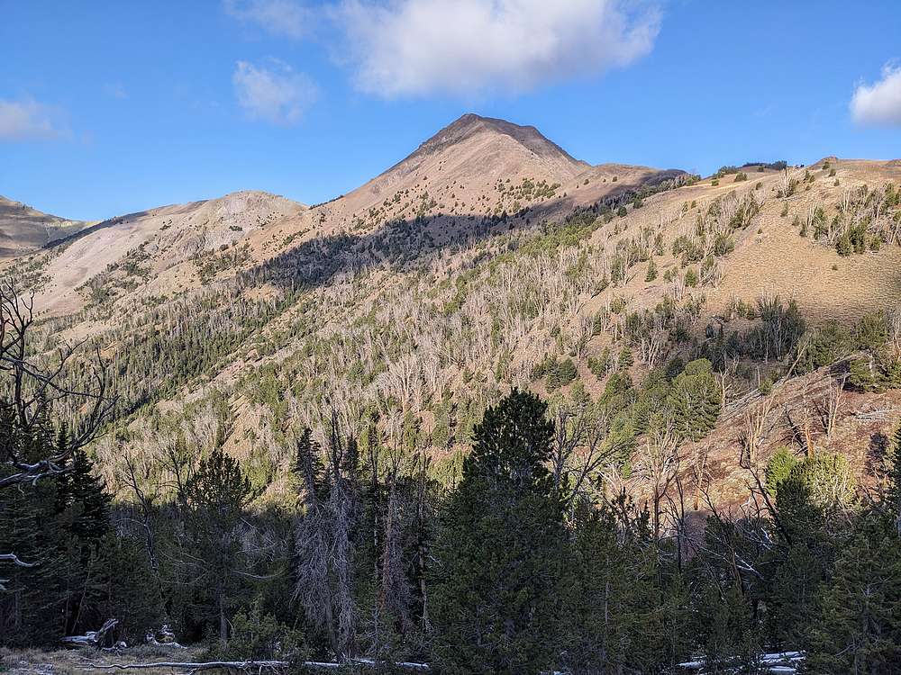
Griswold Peak from the east.
|
|
|
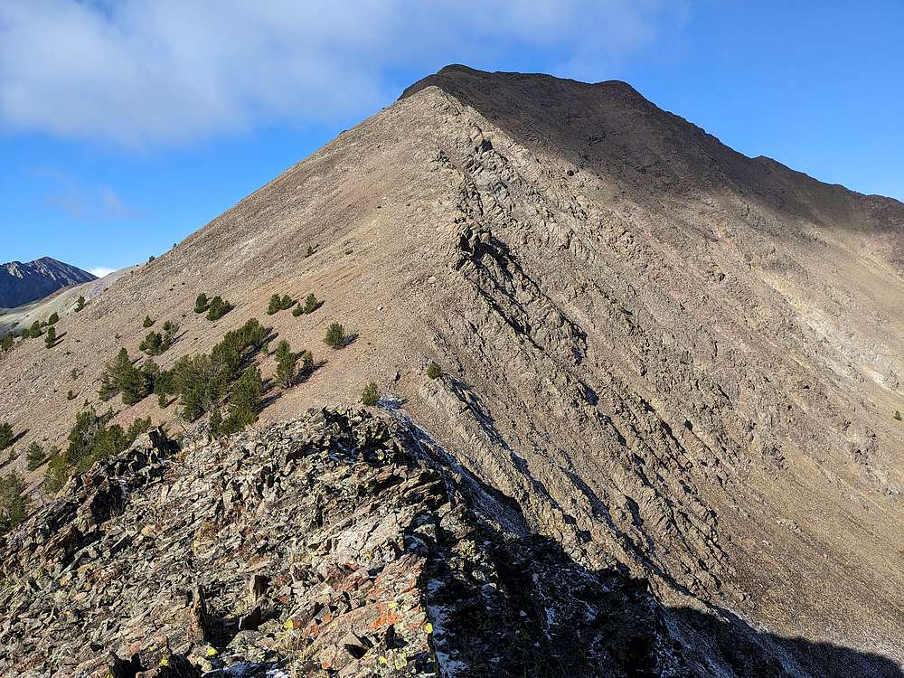
Once at the saddle, I followed Griswold's northeast ridge to the summit. Here’s a view of the final section.
|
|
|
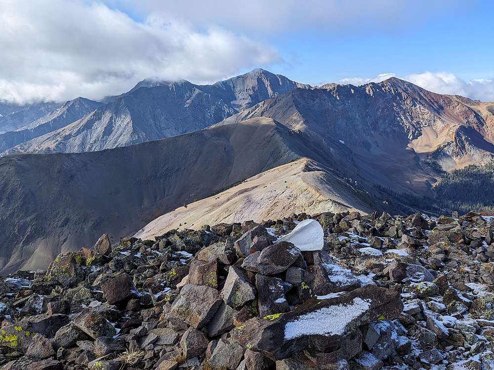
On the summit of Griswold Peak, just a trace of fresh snow from yesterday's storm. Here's a view looking southwest at Cougar Peak, and North Ryan Peak. Ryan Peak towers in the background. This just happened to be my 500th summit in Idaho!
|
|

|
A little hard to see in this shot, but looking over the west face of the peak, I saw both a mountain goat, and a small herd of elk far below.
|
|
|
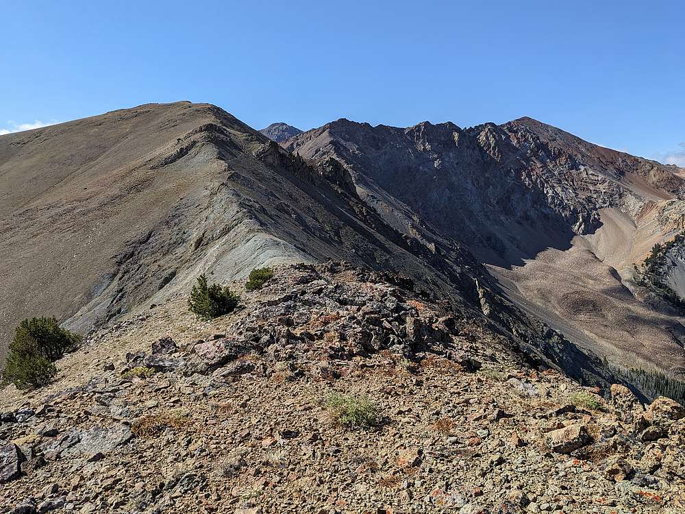
After a careful descent of Griswold's south ridge, it was time to head up Cougar Peak. The long east ridge of North Ryan is visible on the right.
|
|
|
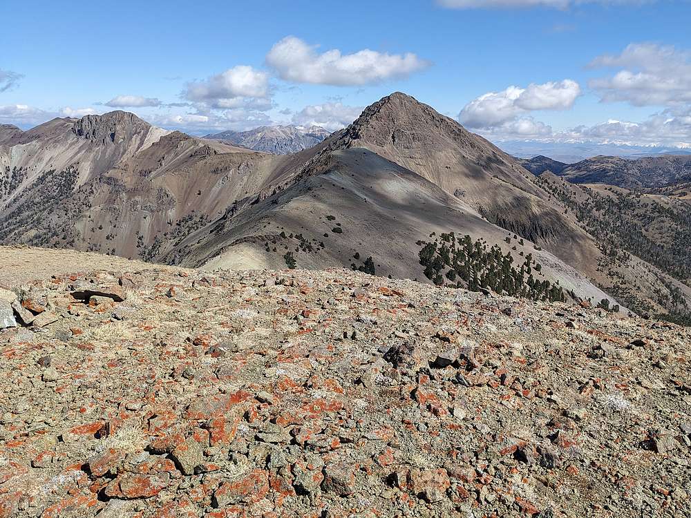
Looking back on Griswold Peak from the summit of Cougar Peak.
|
|
|
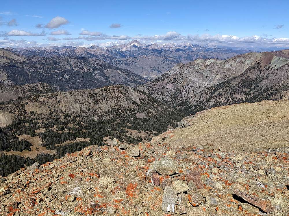
Castle Peak and the White Clouds, from Cougar Peak.
|
|
|
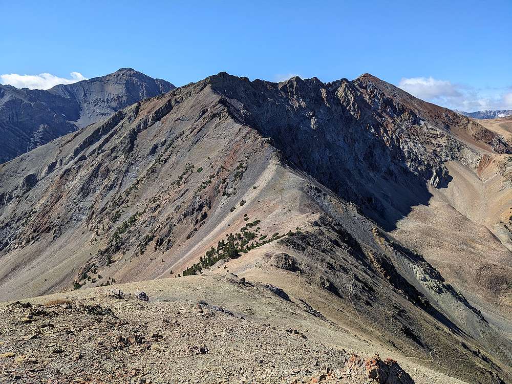
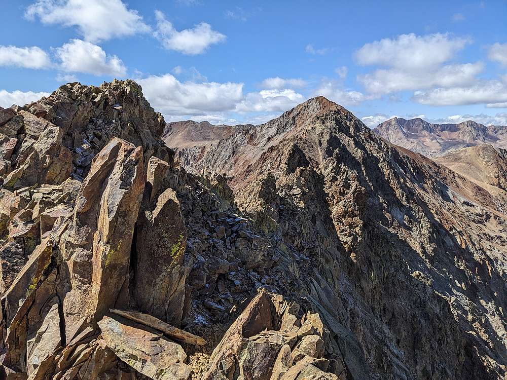
From the summit of Cougar Peak, here's North Ryan Peak's east ridge, with Ryan Peak in the background
|
|
|
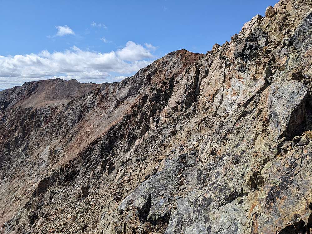
Going from Cougar Peak to the start of the east ridge wasn't too hard, but now things got interesting. From what I’d read, the ridge proper was not advisable, so I resorted to side-hilling along the south side of the ridge.
|
|
|
Several cliff bands of varying sizes to cross, but occasional views of North Ryan's summit kept me motivated.
|
|
|
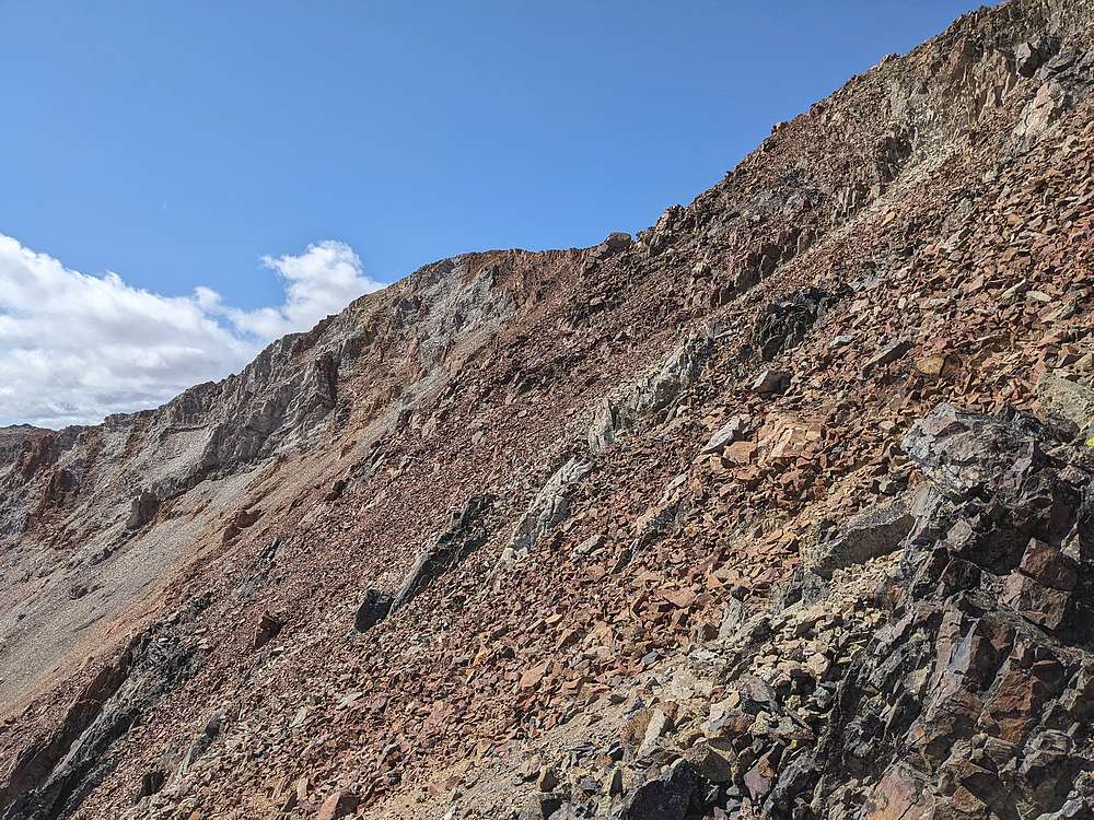
Oh, and did I mention talus? Plenty of that to contend with, and loose too. Eventually I regained the ridge a couple hundred feet below the summit.
|
|
|
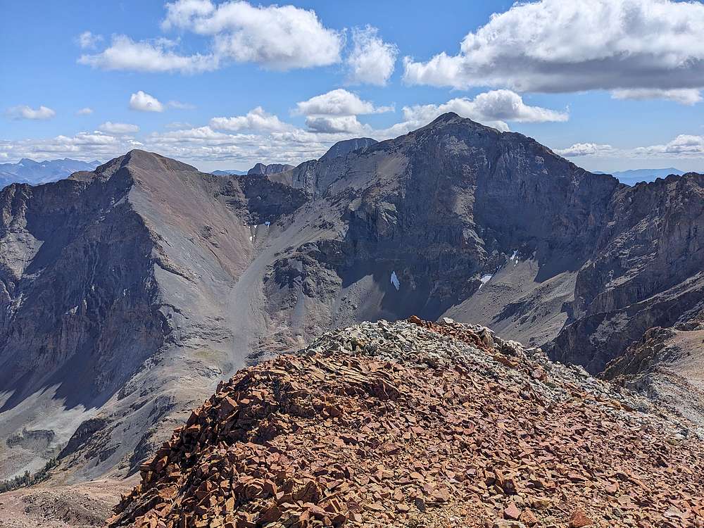
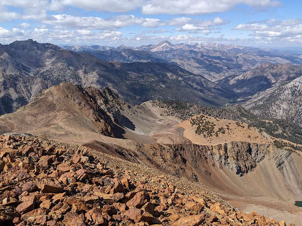
From the summit of North Ryan Peak, I had a great view of Ryan Peak, highest mountain in the Boulders.
|
|
|
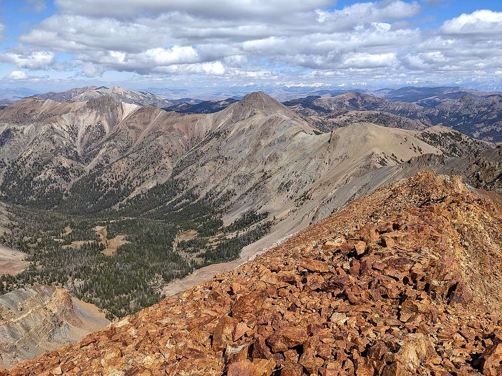
Cougar Peak and Griswold Peak, from North Ryan Peak.
|
|
|
Castle Peak and the White Clouds, from North Ryan Peak.
|
|

|
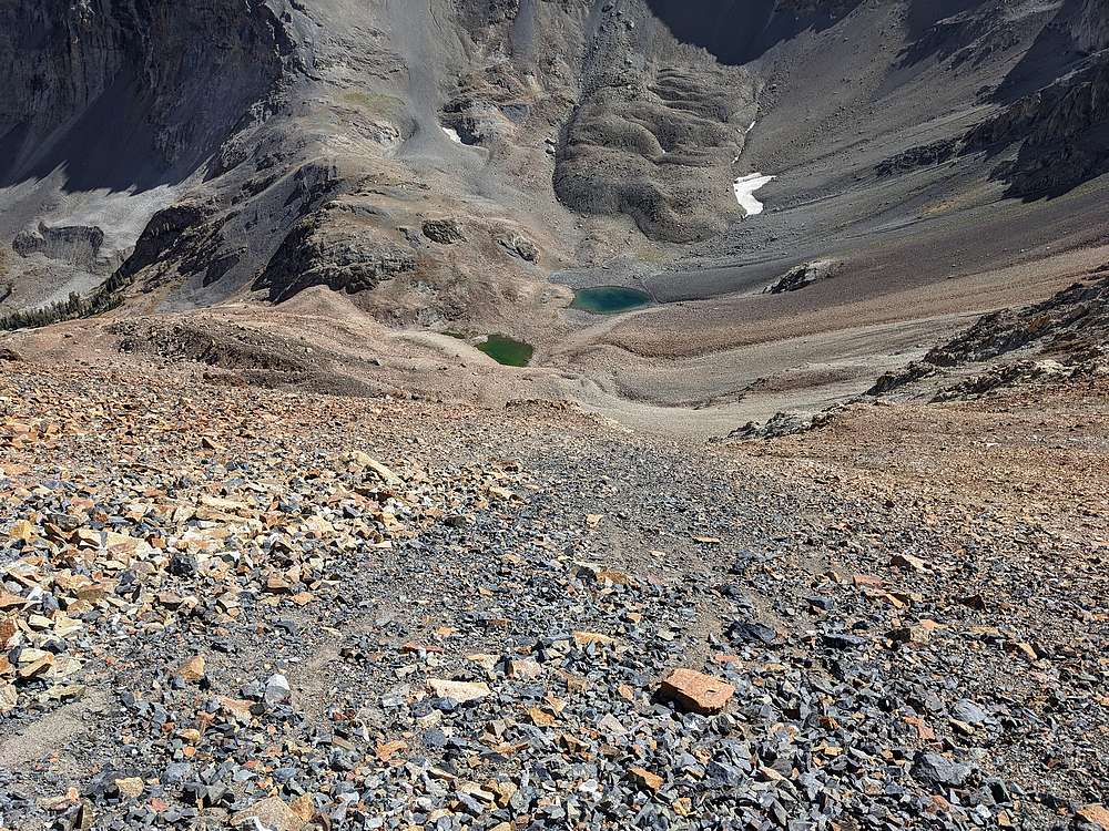
Here's a view of North Fork Lake, my next objective, from the summit of North Ryan.
|
|
|
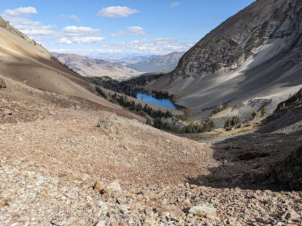
It was a tricky talus descent down to the tarns above North Fork Lake, and one cliffy section that was a puzzle to solve.
|
|
|
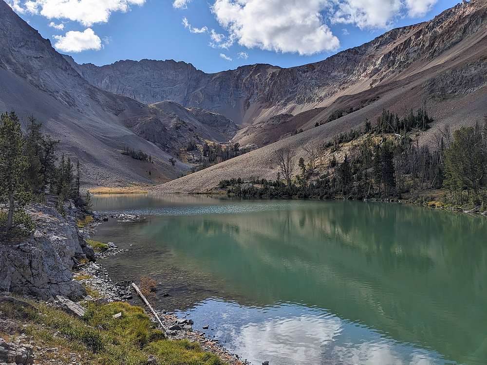
Finally finished with the steepest talus, so now I was heading to the lake.
|
|
|
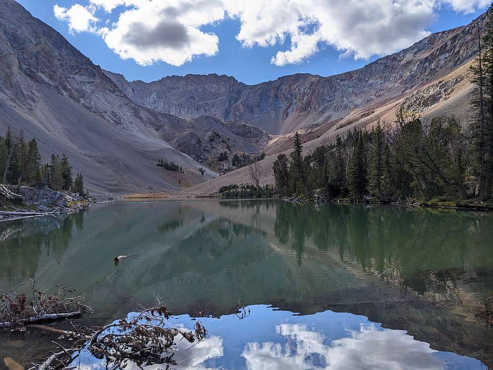
North Fork Lake is very scenic.
|
|
|
My photos don't do it justice.
|
|
|
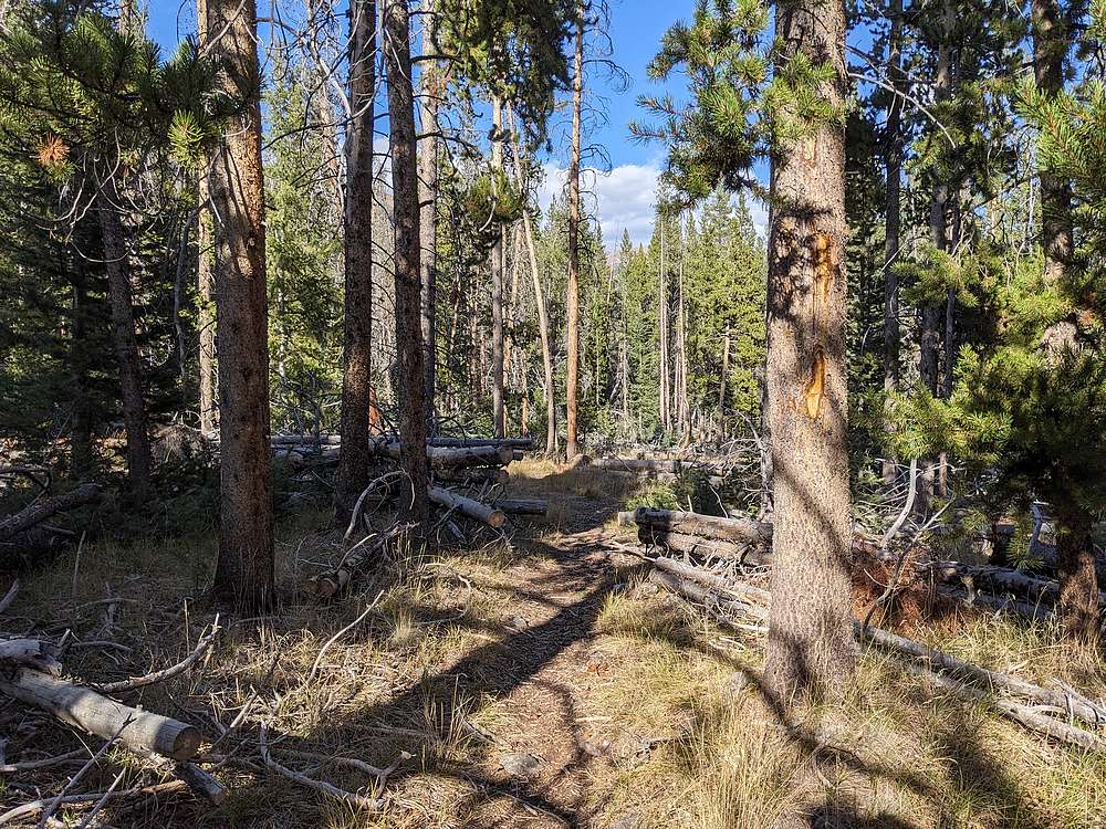
The last couple miles back to the trailhead are via a good, but unmaintained trail. Mostly easy to follow, just a few places where you need to watch for blazes and cut logs.
|
|
|
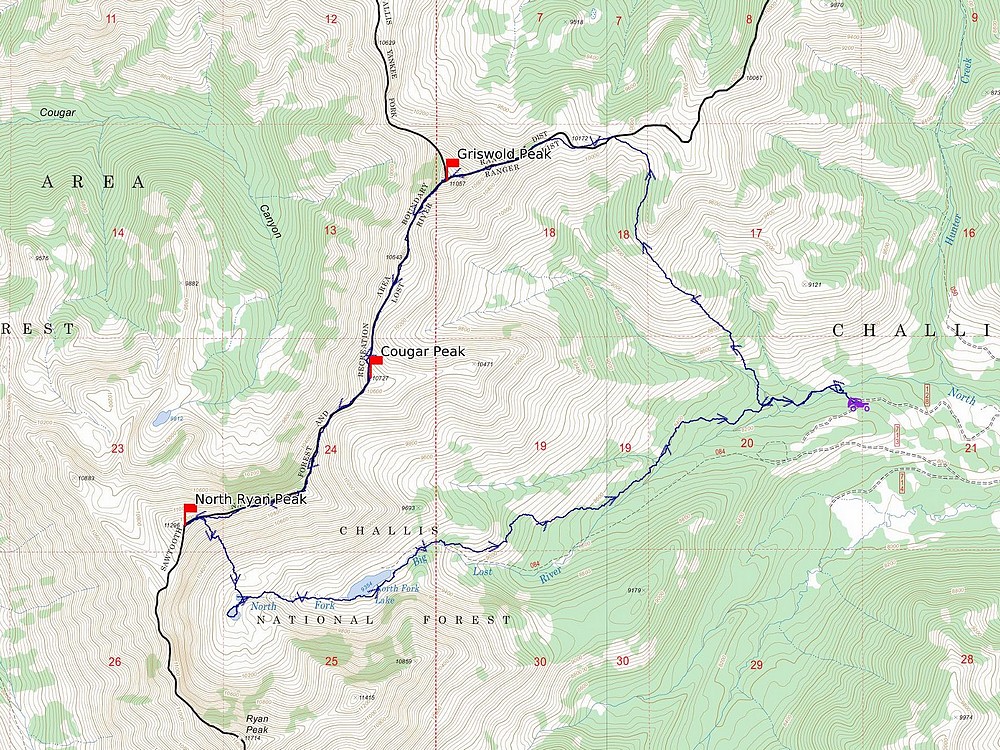
Map of my route. Just over 11 miles and 4600' elevation gain round trip, in 9.5 hours of hiking. Great day in the mountains!
|
Related Links
|


