|
Culmination Peak & Ibex Creek Peak
Culmination Peak is located in central Idaho’s Boulder Mountains, at the headwaters of the North Fork Big Wood River. Rick Baugher describes it as the “culminating apex of three converging eleven thousand foot ridges”. One of those ridges connects to Ibex Creek Peak, which received “official” 11er status in 2023 due to new LIDAR data. These peaks are quite remote, but can be combined together in a very long day hike from the North Fork Big Wood River.
|
|
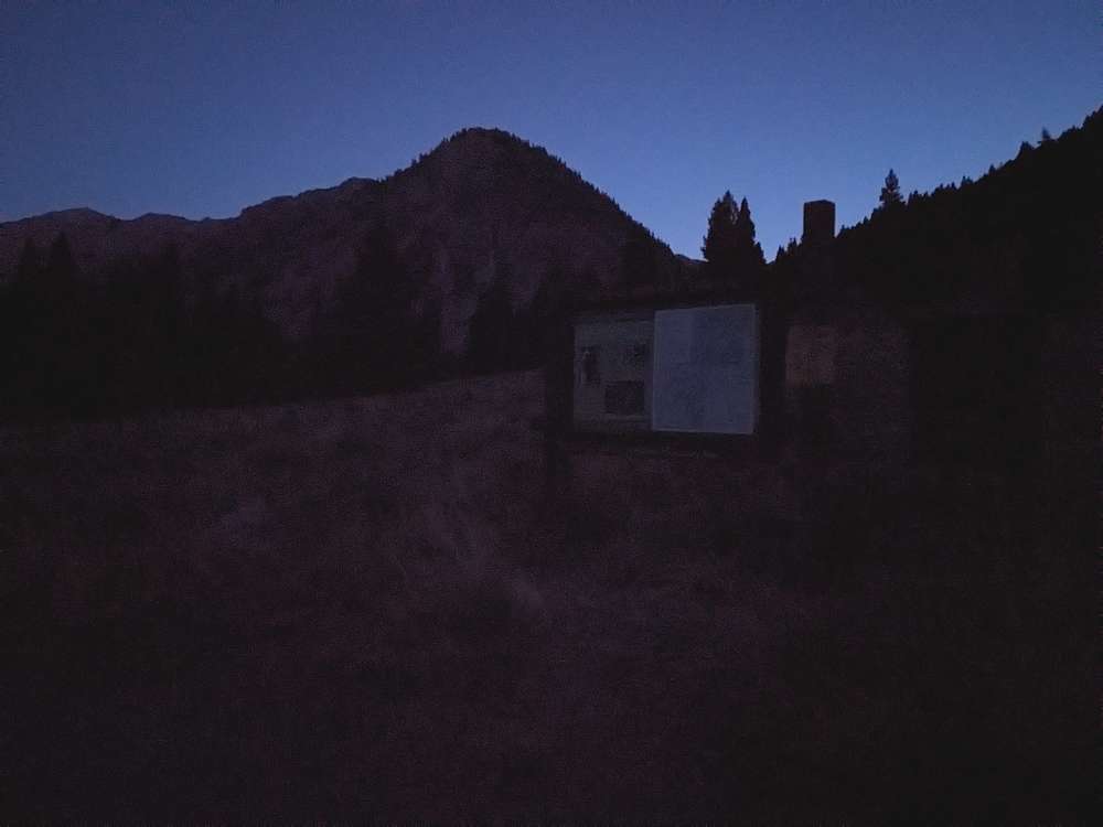
I knew it would be a long day, so the night before I made the 3 hour drive from Boise, and slept out under the starts. The next morning, it was just light enough to see the trail when I started hiking at 6am.
|
|
|
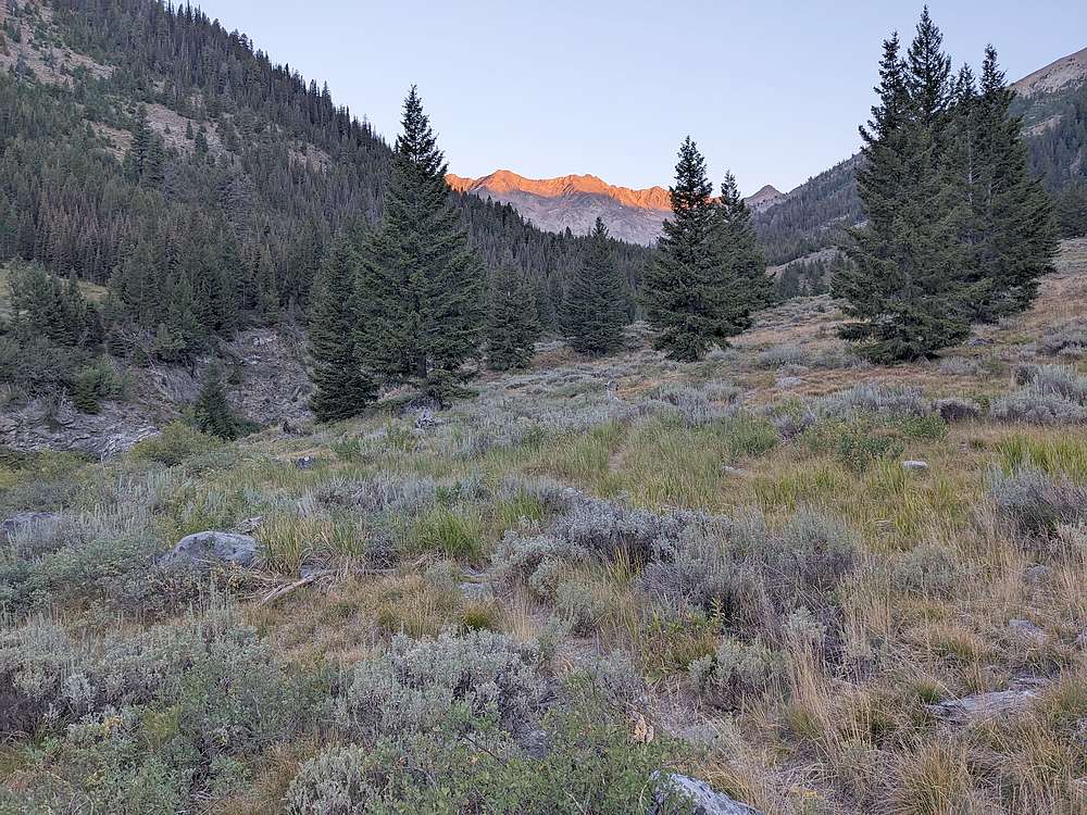
After a few miles of brisk trail hiking, the sun's rays reach the ridge at the headwaters North Fork Big Wood River.
|
|
|
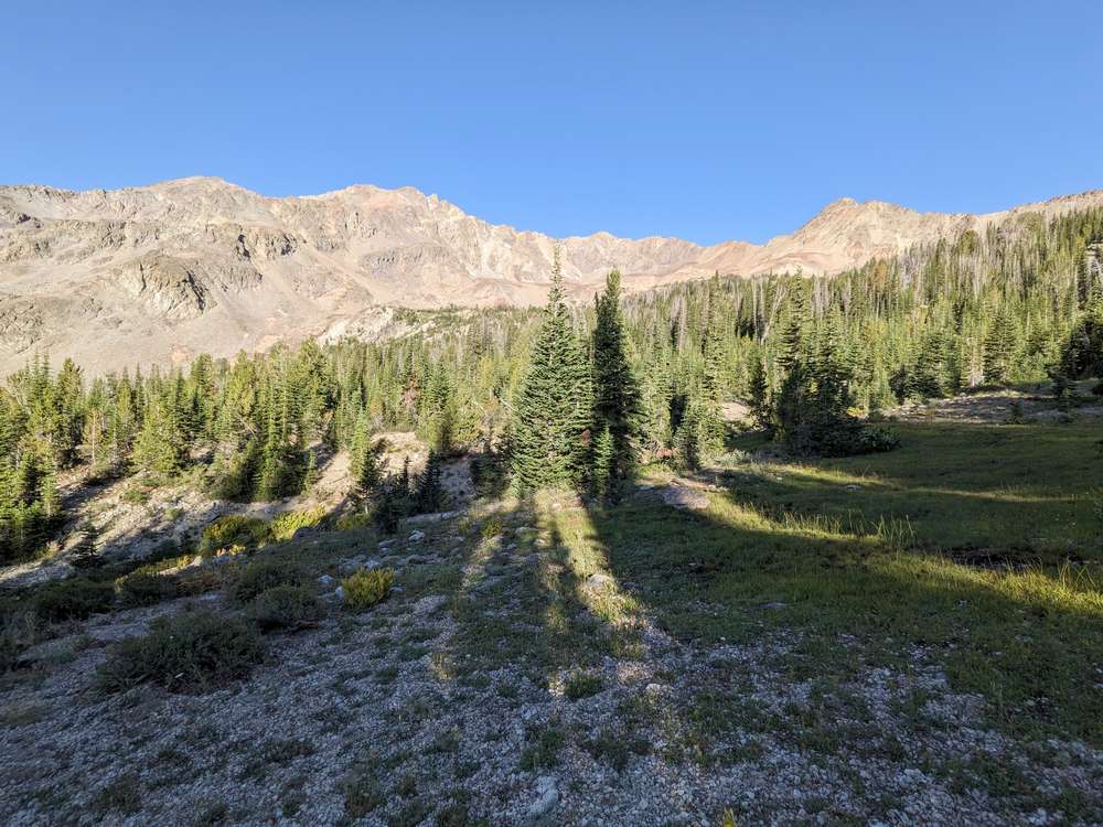
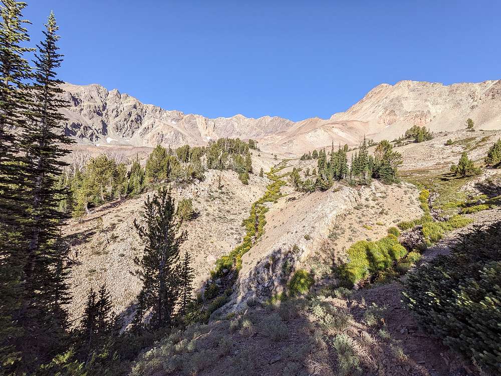
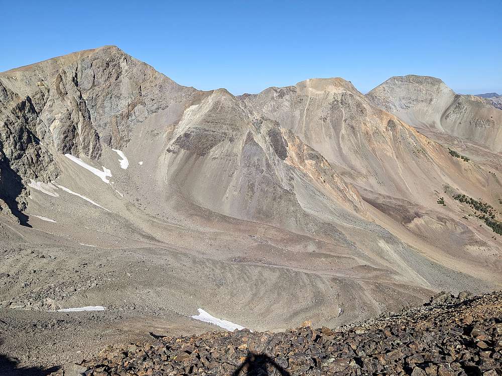
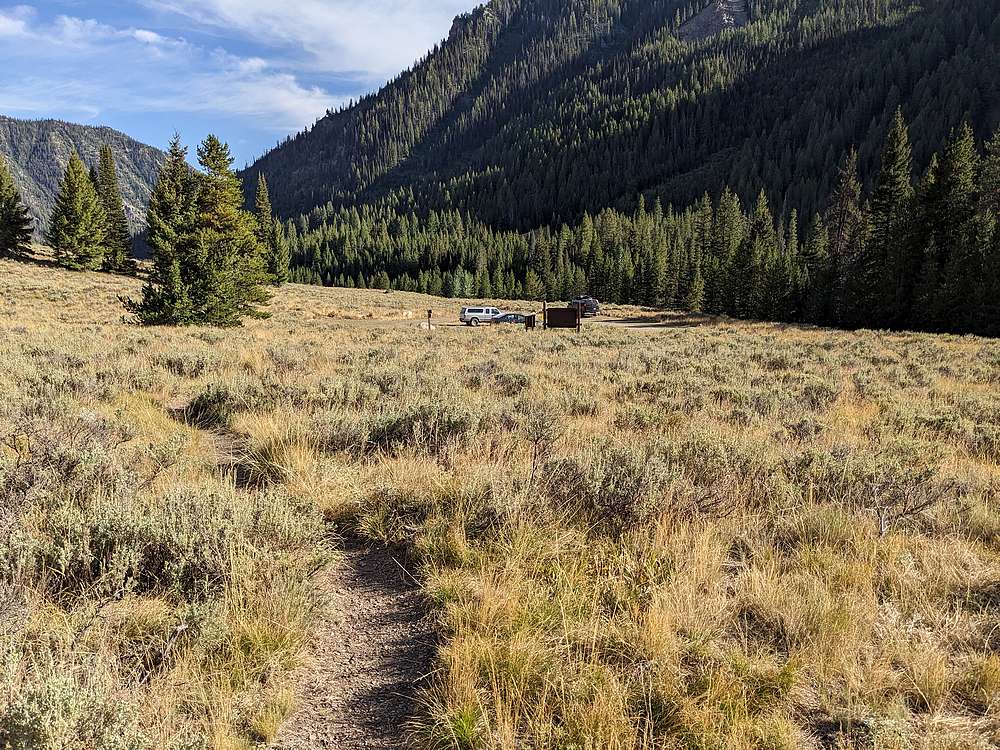
The trail petered out after about 4.5 miles. I continued up the north side of the valley, with occasional bushwhacking and also some open meadows like this one along the way. Its not distinctive from here, but Culmination Peak is the highpoint of the ridge, near the center of this photo.
|
|
|
About 6 miles and 3 hours in, the stream was narrowing so I stopped to pump water. While sitting there, a pine marten walked past me. Too bad I didn't get the camera out fast enough!
|
|
|
Soon enough I was getting above treeline, and Culmination Peak came into full view.
|
|
|
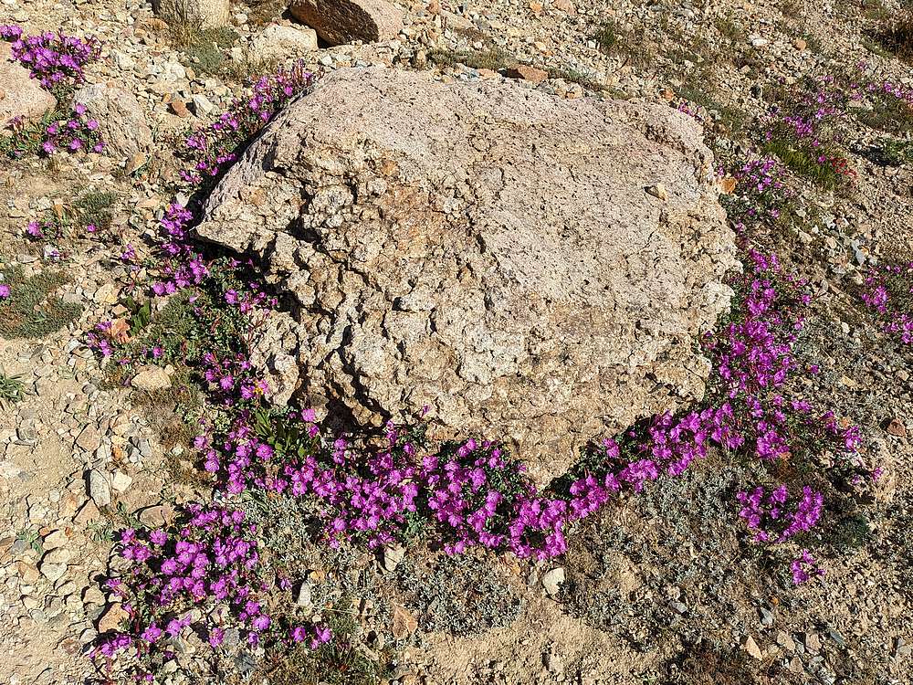
Wildflowers were still blooming, even in late summer. These are aptly named "Rock Fringe" (Epilobium obcordatum), in the primrose family.
|
|
|
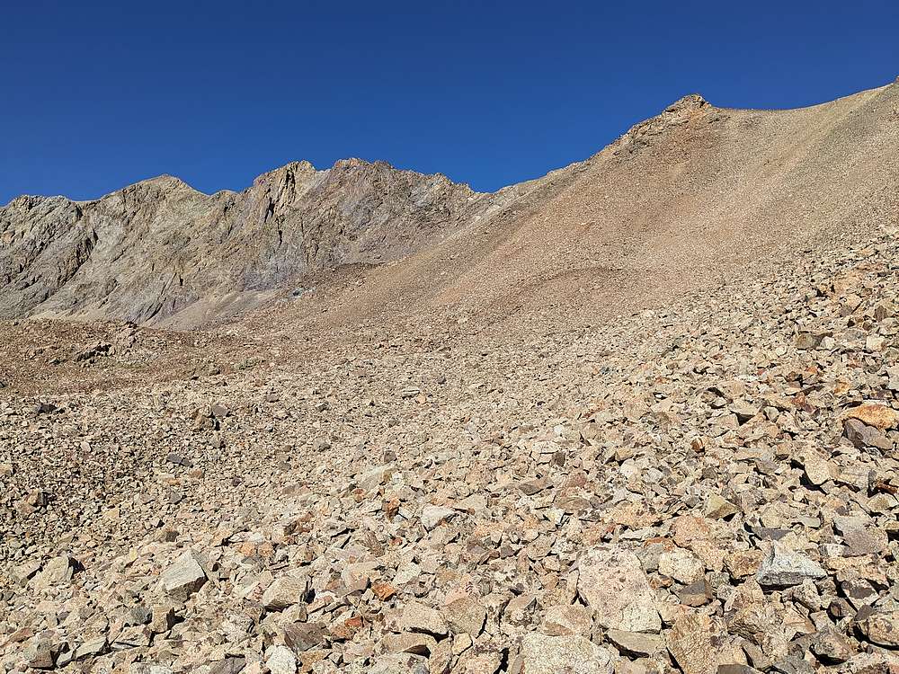
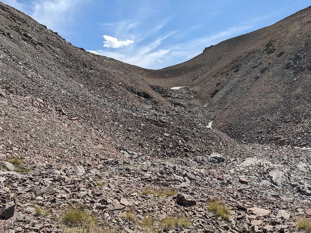
Once at the head of the valley, it was time for some talus. I climbed to the saddle on the right, then pretty much followed Culmination's northeast ridge to the summit.
|
|
|
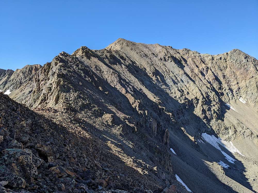
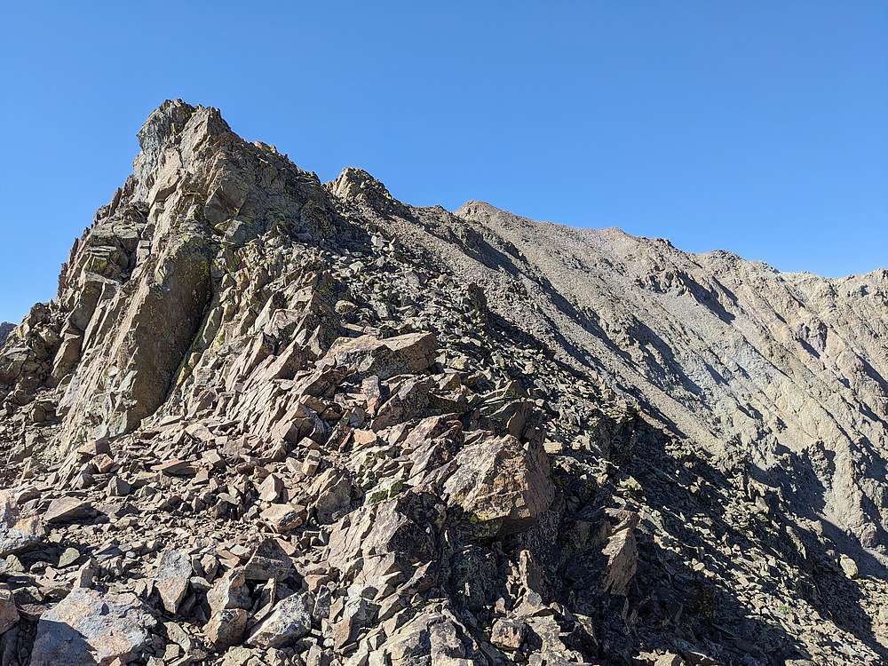
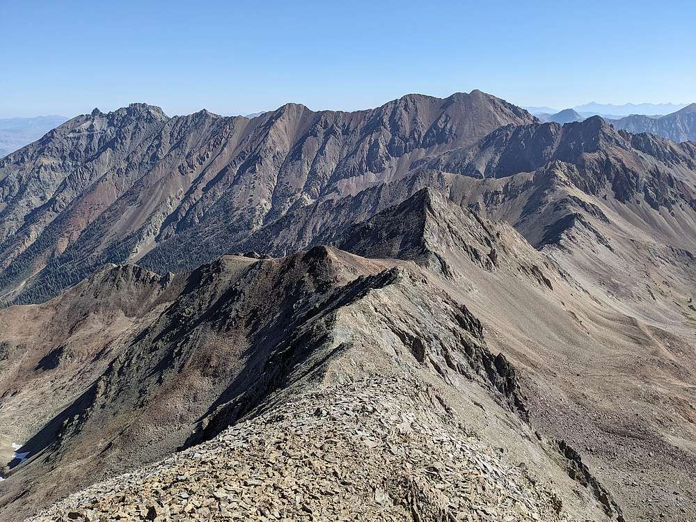
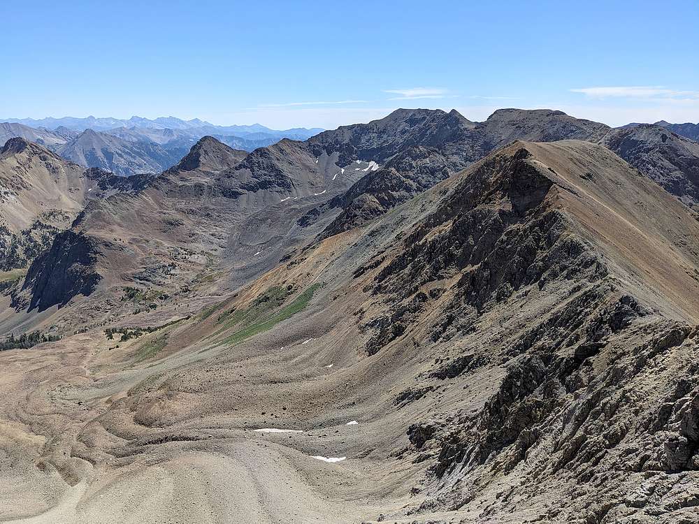
View of Culmination Peak from the northeast ridge. Mostly class 2, with a little easy class 3 unless you want to work harder to avoid it.
|
|
|
Here's the west side of the ridge leading to Ibex Creek Peak, on the far right.
|
|
|
Another view looking up the northeast ridge of Culmination Peak.
|
|
|
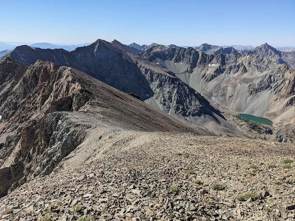
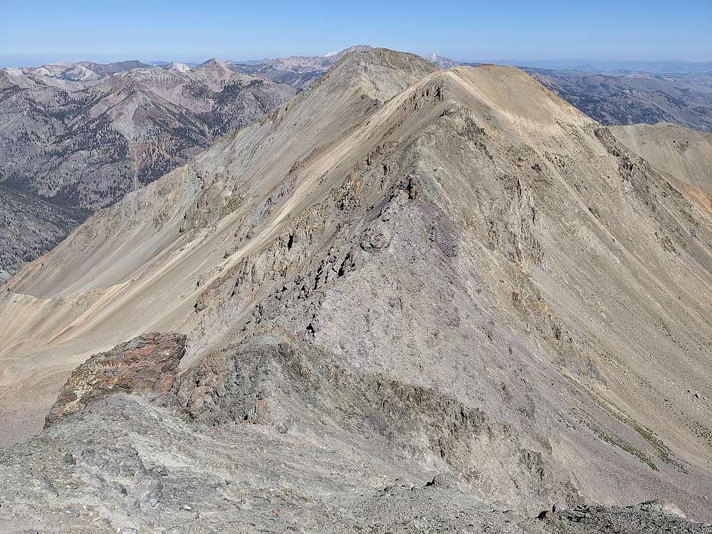
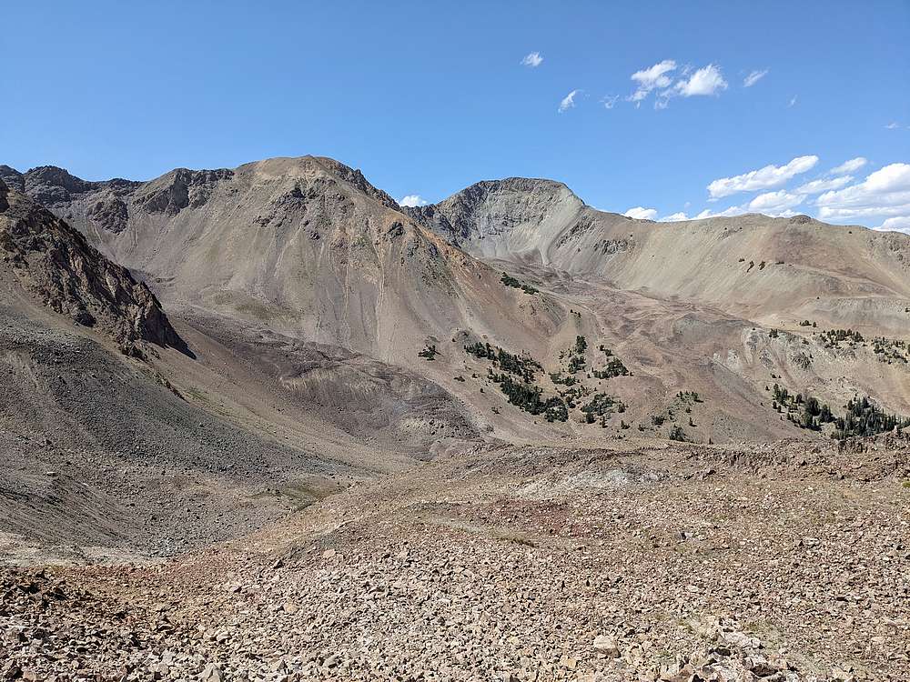
The view southwest from the summit of Culmination Peak includes nearby Down East Peak on the left. Then the main boulder crest on the right, including Silver Peak and Lorenzo Peak.
|
|
|
Castle Peak and the White Clouds to the north.
|
|
|
Glassford Peak to the northeast.
|
|
|
It was a little over 7 miles to Culmination Peak. Next order of business was tackling the ridge to Ibex Creek Peak.
|
|
|
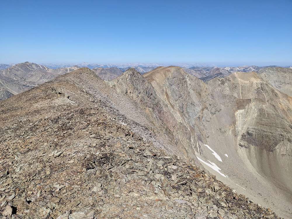
A fair amount of up and down along the ridge to Ibex Creek Peak. A mix of class 2 and class 3. Somewhat tedious and time consuming.
|
|
|
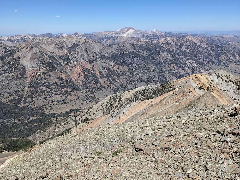
Once finally on the summit of Ibex Creek Peak, I was rewarded with great views of Castle Peak and the White Clouds. As far as I could tell, I've climbed every peak visible in this shot.
|
|
|
I'd covered a lot of ground. From here, I had a couple choices for return route. Either return along the tedious ridge, or drop into the valley and reclimb to the saddle I'd gained earlier. I chose to drop down. Even with a bit more elevation gain required, I felt it would be faster.
|
|
|
Looking back on Ibex Creek Peak as I began reclimbing to the ridge.
|
|
|
Only a couple hundred feet of climbing back up to the ridge, and then mostly downhill from there.
|
|
|
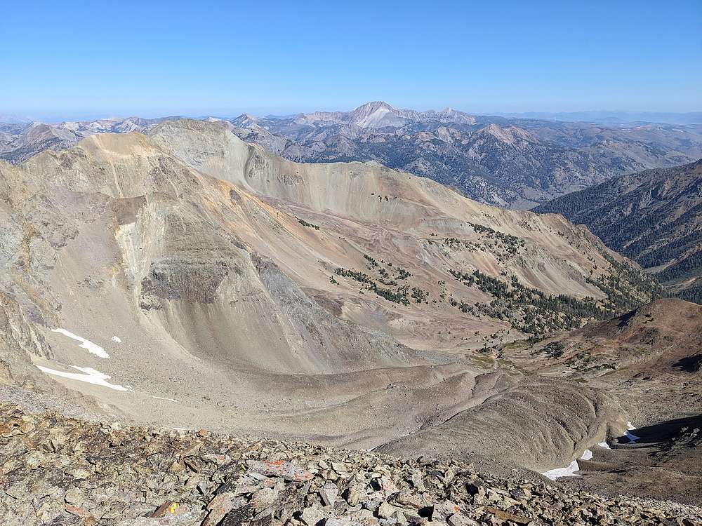
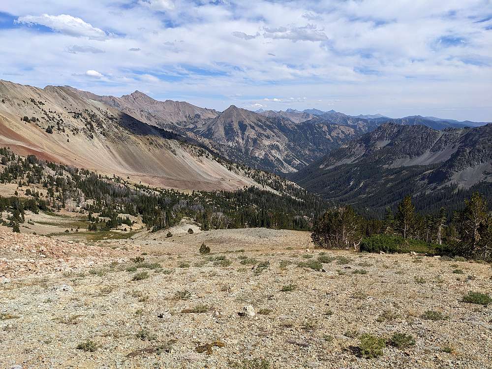
Here's a view looking down the valley. The hike back to the car wasn't too bad, just long. I made good time, and even got to hike the last couple miles with Zach J, who I met at the fork in the trail as he was returning from a climb of Perkins and Kent peaks.
|
|
|
The trailhead was a welcome site. What a great day!
|
|
|
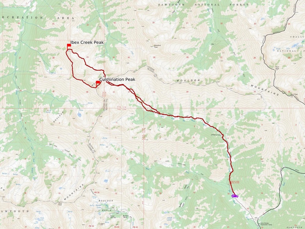
Map of my route. A total of just over 18 miles and 6300' elevation gain round trip, in 12 hours of hiking. Biggest day I've done in a while.
|
Related Links
|