|
Osprey Point
Elevation 4210'
Osprey Point is located in the Boise Mountains of southwest Idaho, near where Grimes Creek meets Mores Creek. There’s nothing particularly striking about the peak itself, but it does offer a good leg stretcher hike, not far from Boise, and a north side approach from Minneha Creek is pleasant.
|
|
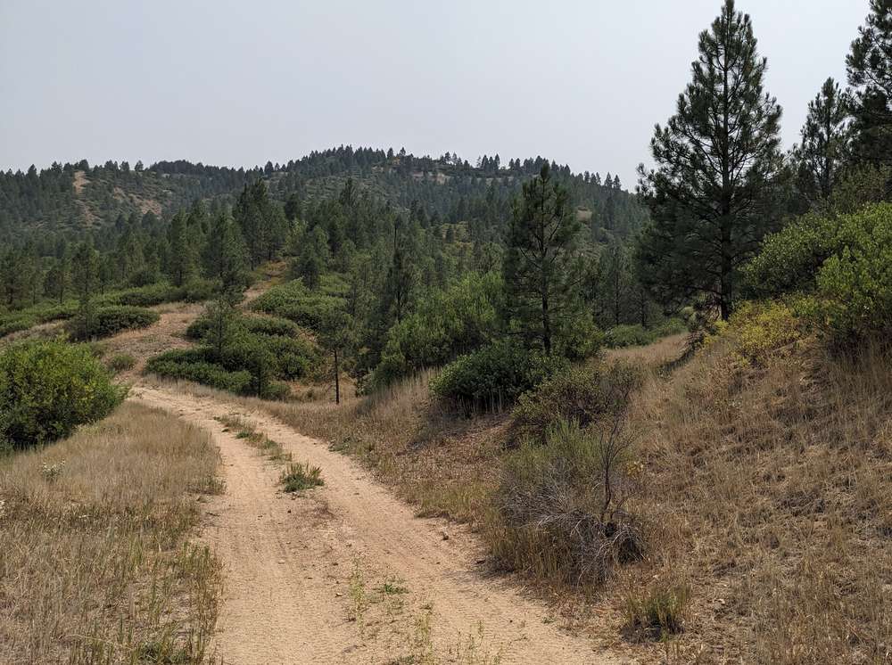
I parked about 0.7 miles from the highway, and followed an ATV trail across Minneha creek. After a quarter mile or so, I left the ATV trail and hopped on a game trail heading up this faint ridge.
|
|
|
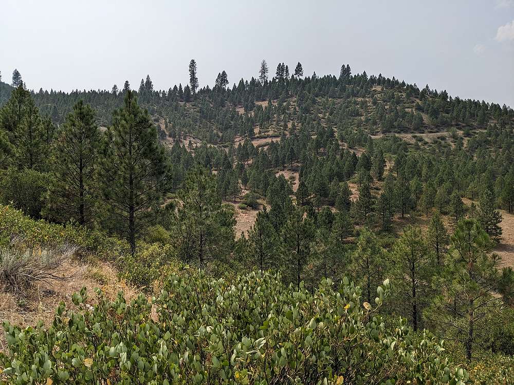
From the game trail, I could see Osprey Point up and to the right. I continued up the game trail, crossing the ATV road again, then at the second road crossing, I turned and hiked west along the road to the saddle.
|
|
|
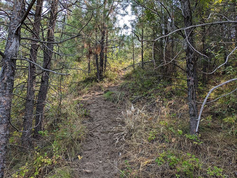
There was another faint trail climbing westward toward the peak. Along the way, I surprised a group of elk trying to cool off in the shade.
|
|
|
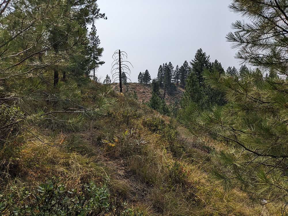
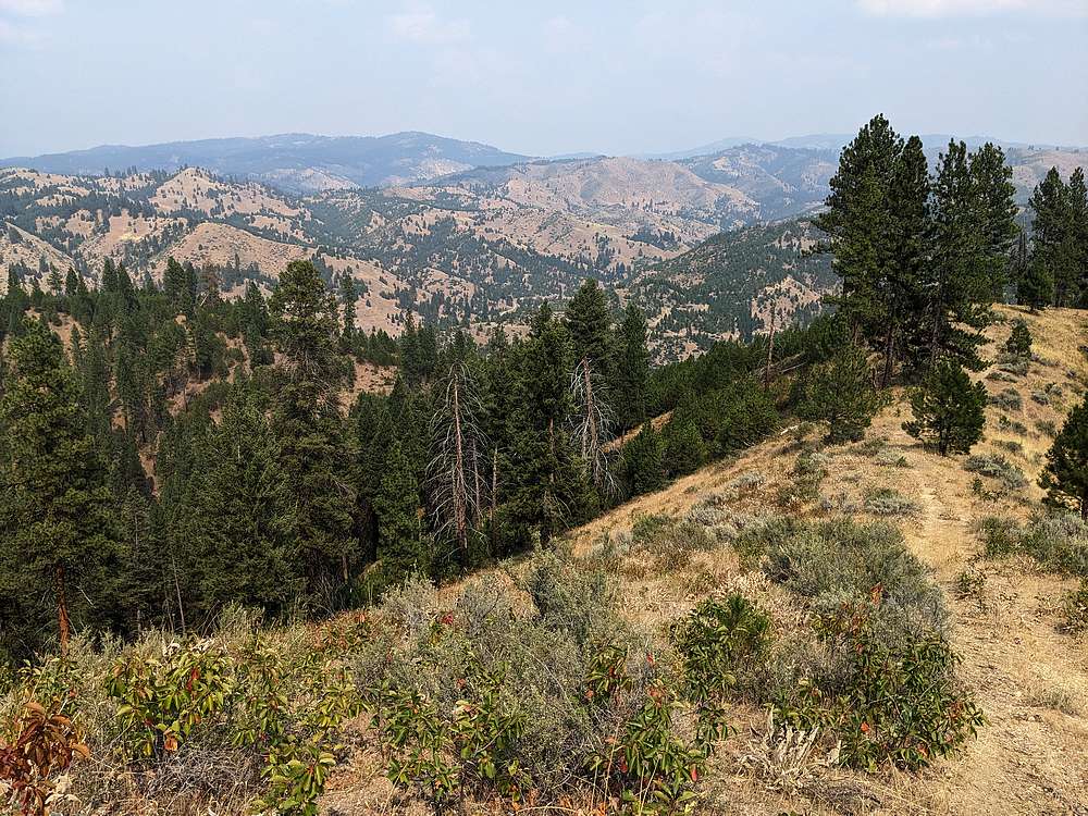
Here's a view of the highpoint from the east.
|
|
|
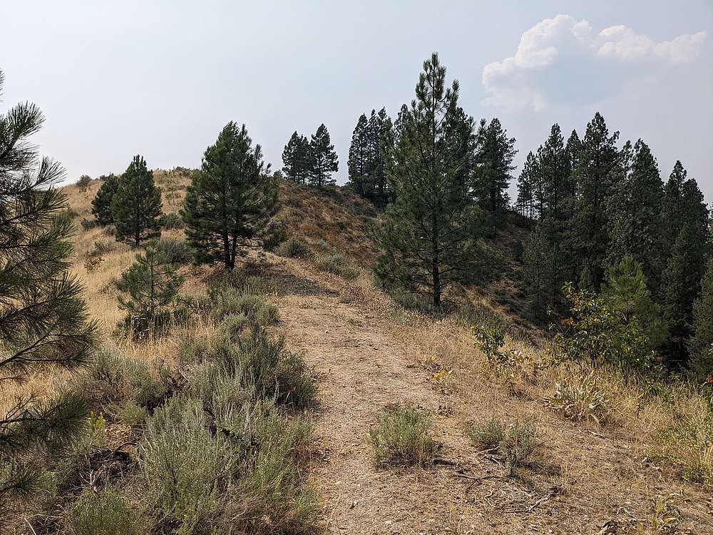
Yet another faint trail led me up the final stretch to the summit.
|
|
|
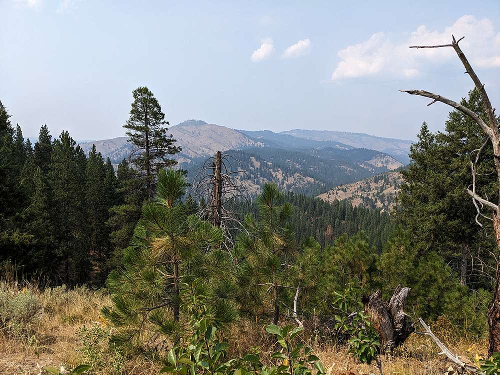
Summit view of Thorn Peak to the northeast.
|
|
|
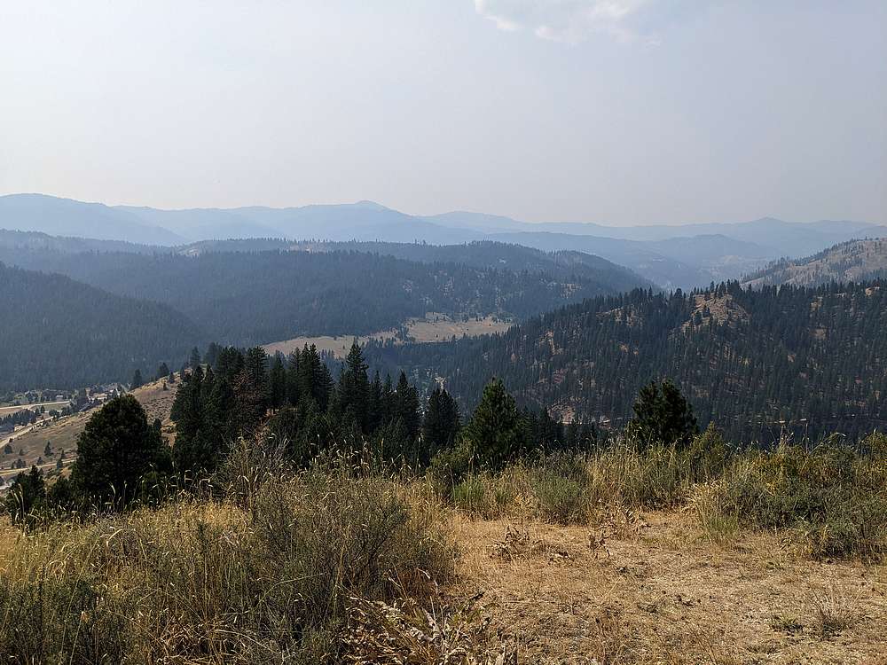
Schafer Butte is off to the west somewhere in that smoke.
|
|
|
After a brief rest on the summit, it was time to retrace my path back down.
|
|
|
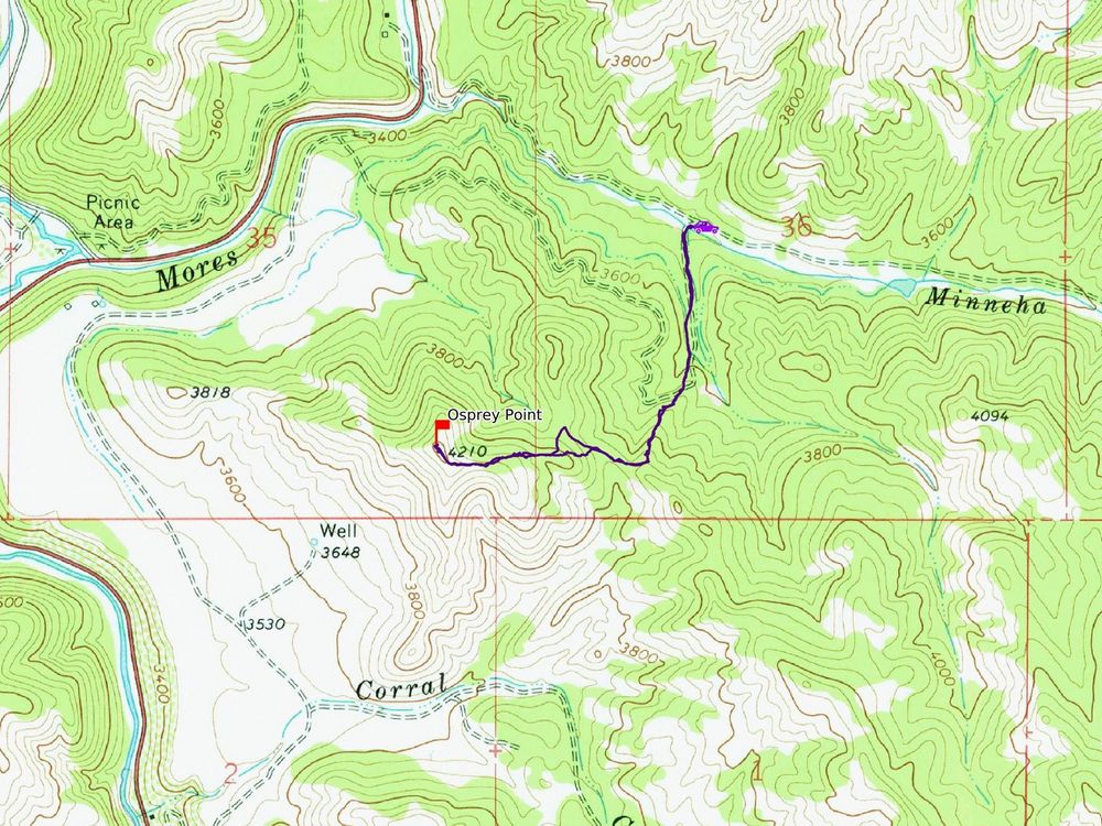
Map of my route. 2 miles and 800' elevation gain round trip, in just under an hour of hiking.
|
Related Links
|
 |
IdahoAlpineZone is unofficially sponsored by Skippy Peanut Butter.