|
No Regret Peak
Elevation 11,996'
No Regret Peak is a beast of a mountain, located in eastern Idaho's Lost River Range. Upon LIDAR data review in 2023, the peak was re-measured to 11,996' in elevation, making it the 10th tallest mountain in Idaho. It is located on the main Lost River crest, between 12ers Mount Breitenbach, and Donaldson Peak. The most common approach is via Jones Creek from the south. But its also possible to climb No Regret via the East Fork Pahsimeroi River, which was our chosen route.
|
|
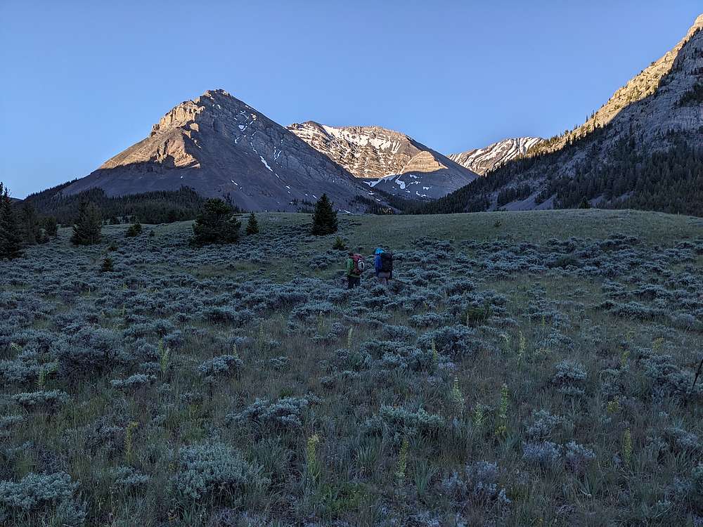
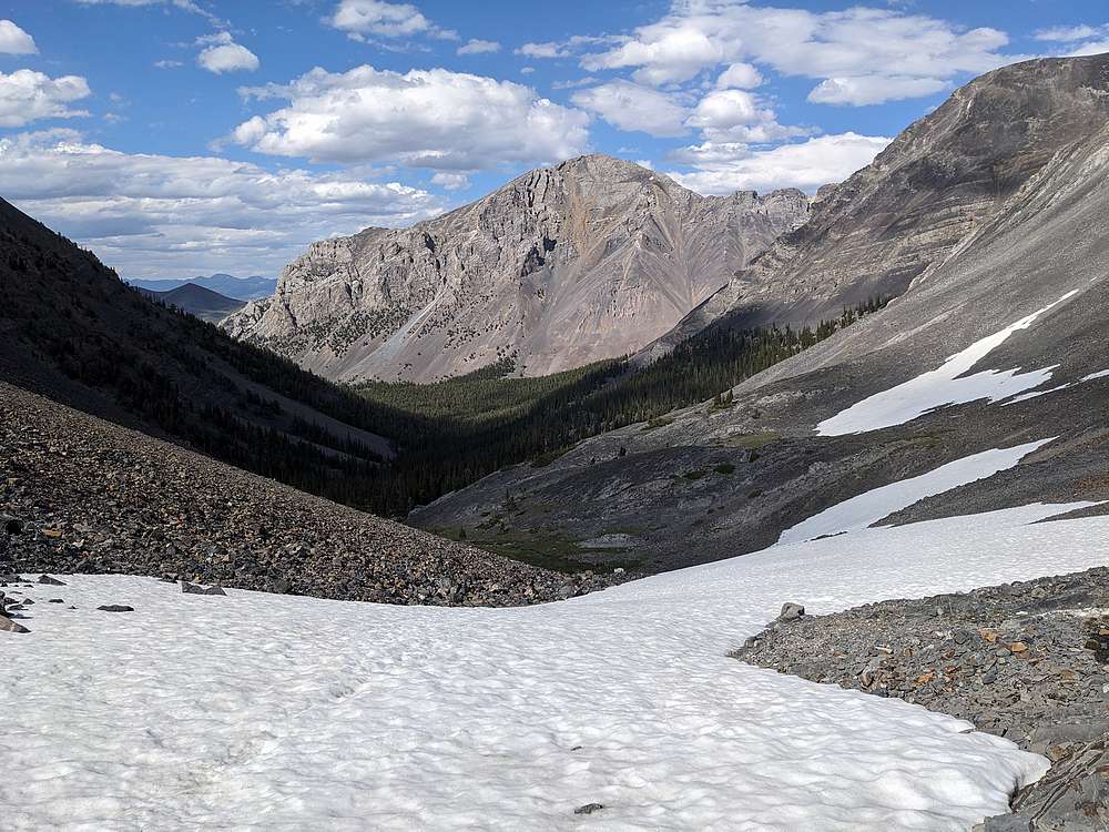
George and John invited me to join them for a few days of base camping on the East Fork Pahsimeroi River. On day 3, we were joined by Michael and Steve for a climb of No Regret Peak. Here's a shot of the peak, center, not long after starting our hike.
|
|
|
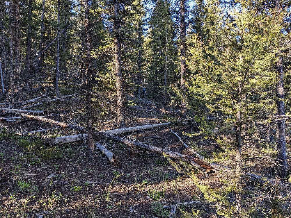
We did our best to follow game trails up the west branch of the East Fork Pahsimeroi, but it was a bit of a maze at times.
|
|
|
After about 3 miles, we started getting above tree line, and the north face of Mount Church became visible as we enjoyed cushioned hummock travel.
|
|
|
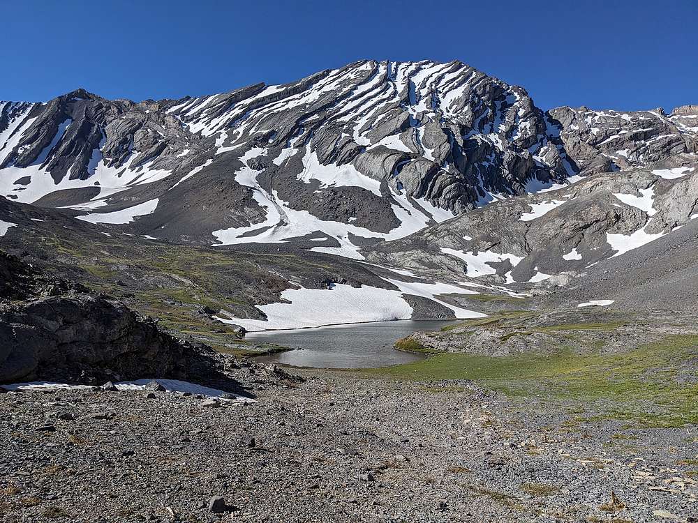
This was my 3rd time visiting Lake 9682'. Such a beautiful place.
|
|
|
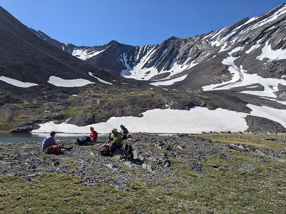
We stopped for a well earned snack break at the lake. The summit of No Regret Peak is just visible in the upper left. Donaldson Peak is just right of center, and isn't too impressive from this vantage point.
|
|
|
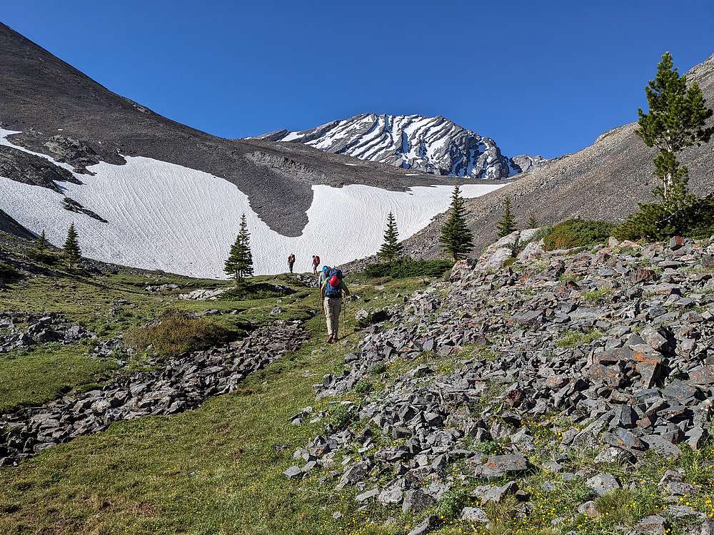
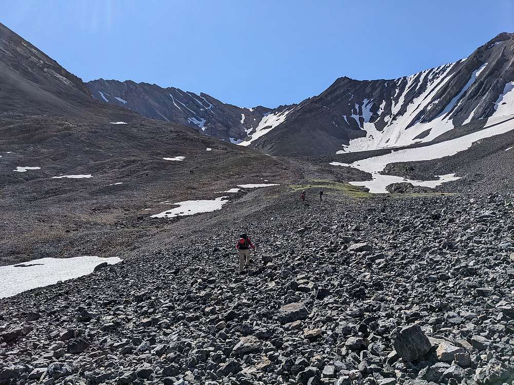
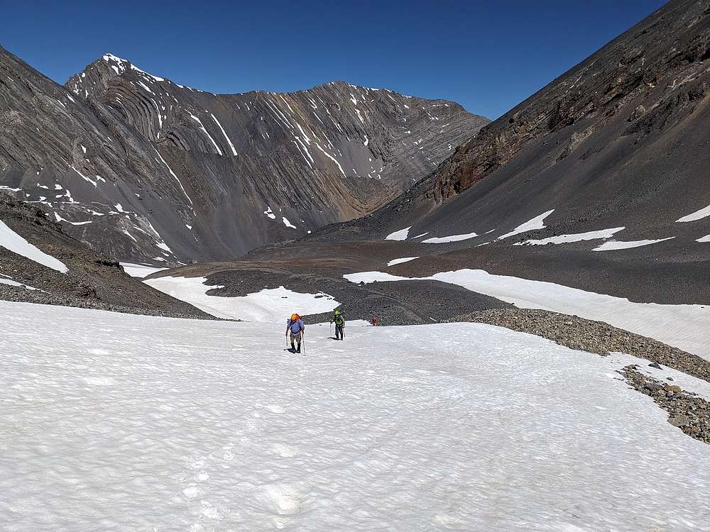
No Regret Peak came into better view as we continued above the lake. Our plan was to climb the snowfield leading to the saddle on the west ridge of No Regret.
|
|
|
Here's the west face of No Regret Peak, with no obvious route visible.
|
|
|
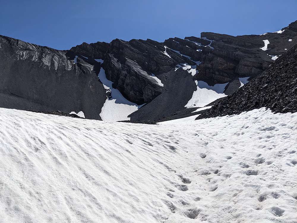
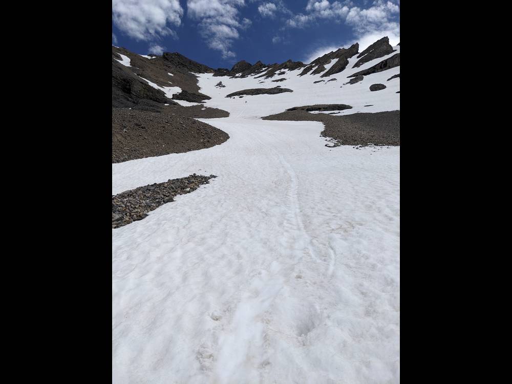
As we got higher, the full snowfield route came into view. This should work.
|
|
|
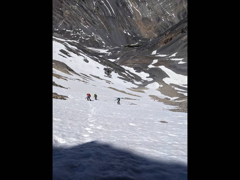
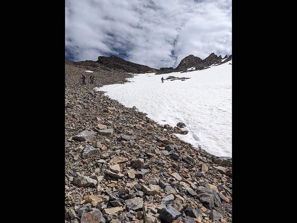
We donned crampons and started heading up the snowfield. Leatherman Peak in the background.
|
|
|
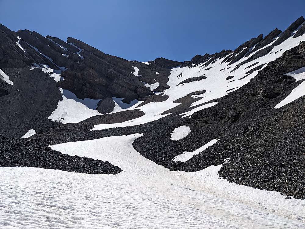
The snowfield got steeper at the top, probably just over 45 degree angle.
|
|
|
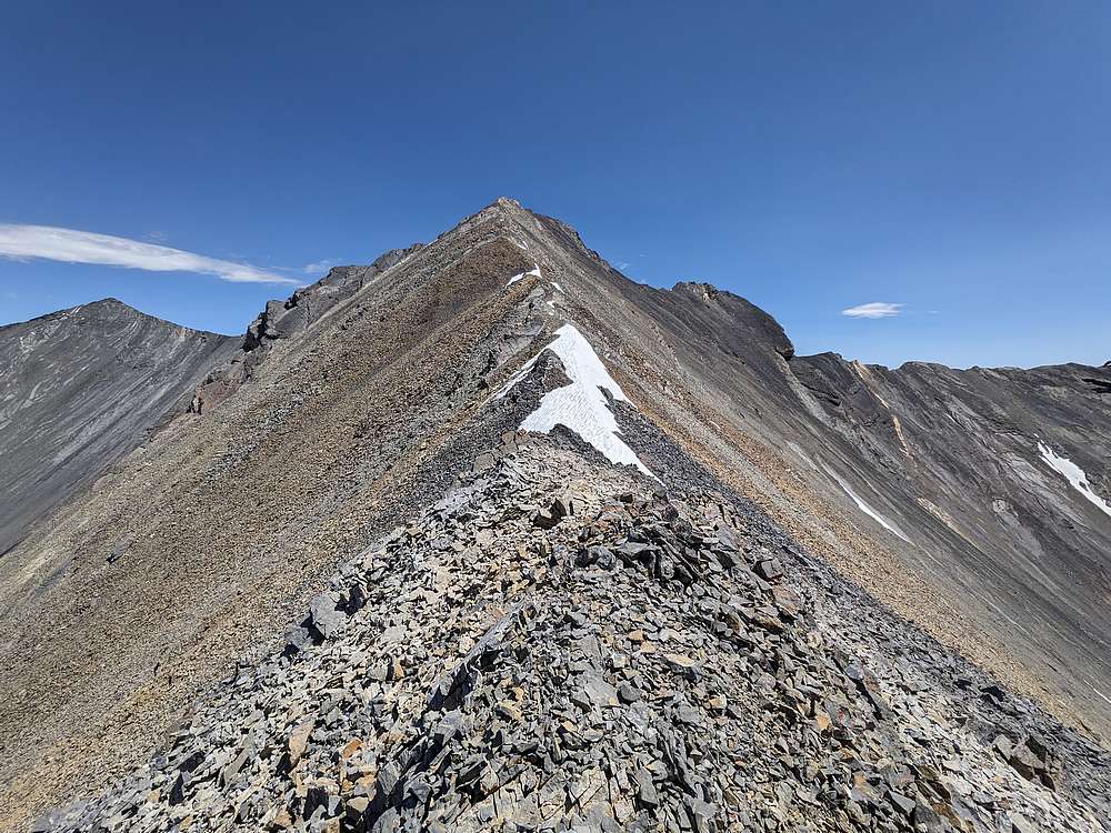
Once above the snowfield, and on the west ridge, we appeared to have a pretty easy route to the summit.
|
|
|
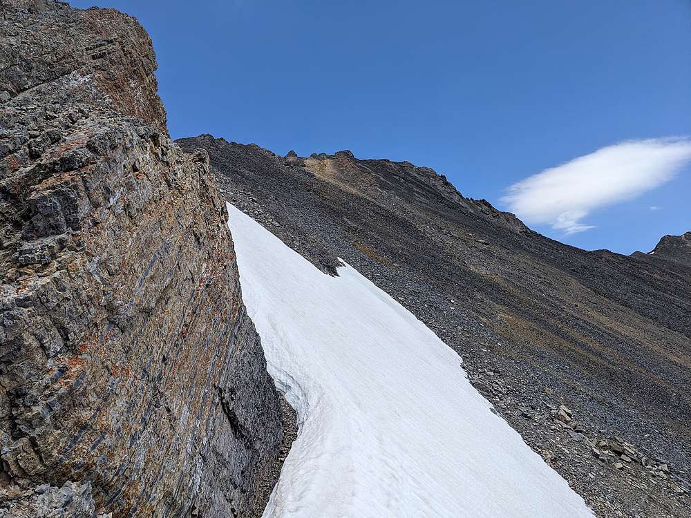
But on the way up, we got stopped by a sizeable cliff. The summit is visible in the distance, but we'd need to find a way around the cliff.
|
|
|
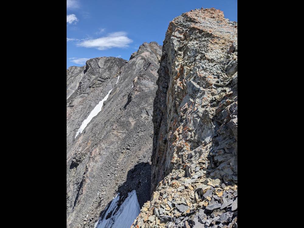
After down climbing a couple hundred feet, we found a way around the cliff, on the south side of the ridge.
|
|
|
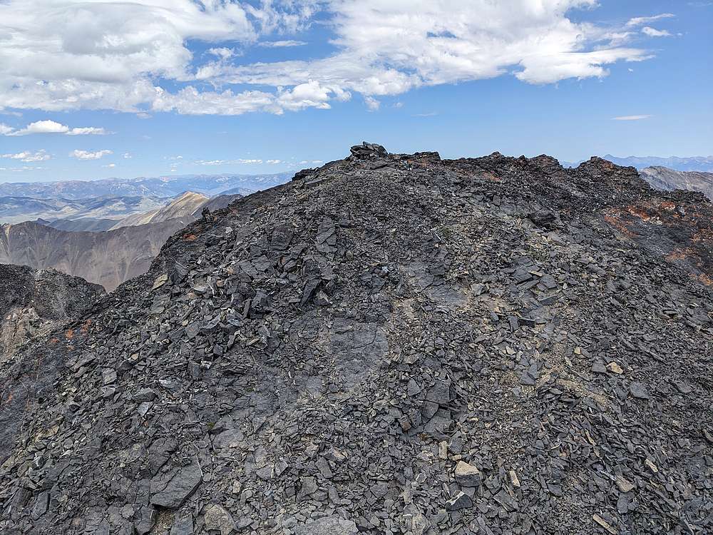
Nearing the summit, finally.
|
|
|
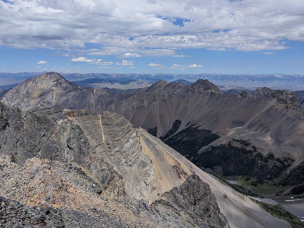
Mount Breitenbach, from the summit of No Regret Peak.
|
|
|
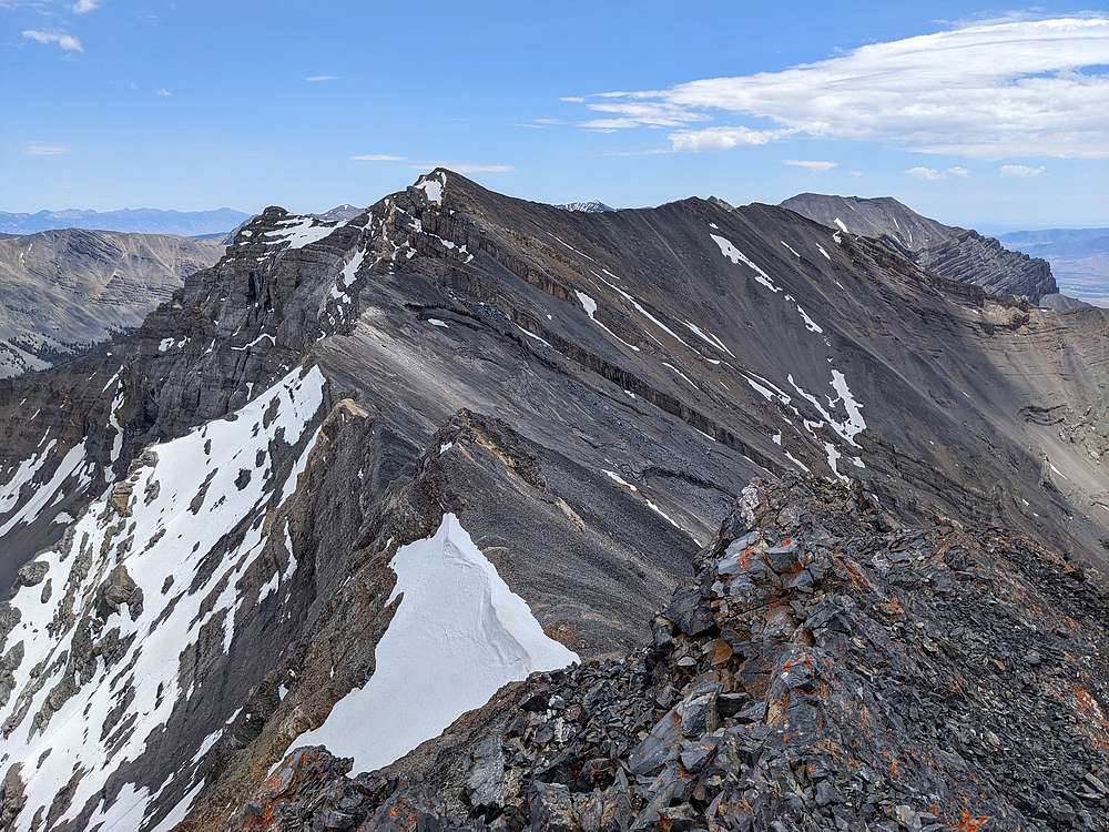
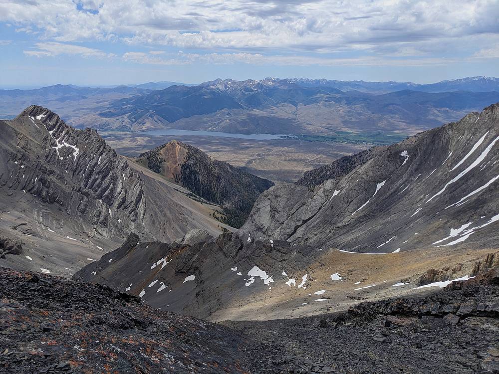
From the summit, looking back down the valley we ascended, the lake is just visible. Above are Mount Church, Badrock Peak, Leatherman Peak, and Mount Idaho.
|
|
|
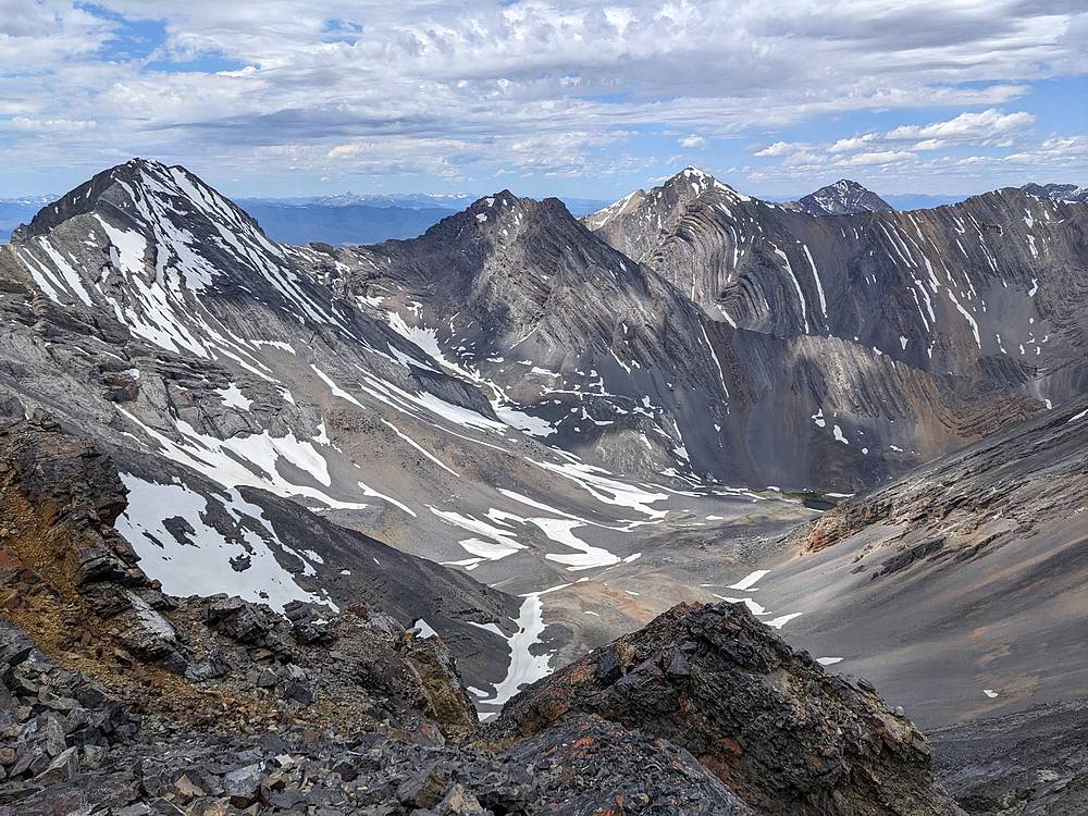
The view northeast from No Regret includes Mount Corruption, Cleft Peak, and Triple Peak.
|
|
|
Mackay Reservoir is to the south, with the White Knobs in the distance.
|
|
|
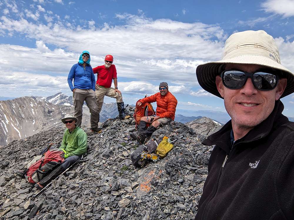
Group shot on the summit of No Regret Peak. Smiles on our faces, but a hint of apprehension given the late hour and thoughts of how to descend from the ridge.
|
|
|
The thought of down climbing steep snow wasn't appealing. Some of use did a talus descent instead, others did a tedious snow descent. Here we are, relieved to be past the steeper section.
|
|
|
The bottom half of the snowfield made for a great glissade! I bid the others farewell at this point, opting for a speedier hike back to the car, knowing I had a long drive home tonight…
|
|
|
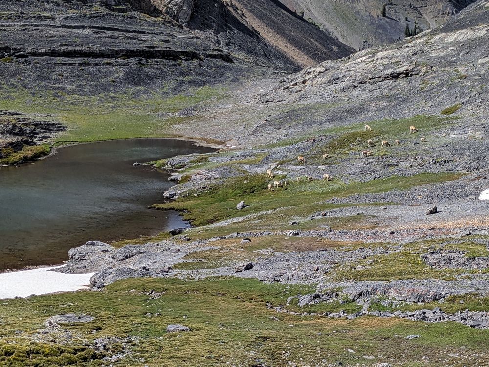
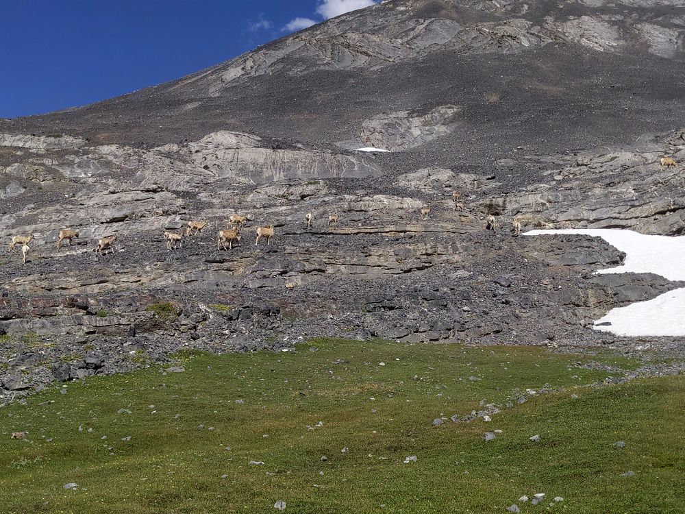
At the lake, I spotted this group of 20+ bighorn ewes and lambs.
|
|
|
These sheep obviously don't see many humans. They eventually moved a little higher above the lake to let me pass, but they were in no hurry.
|
|
|
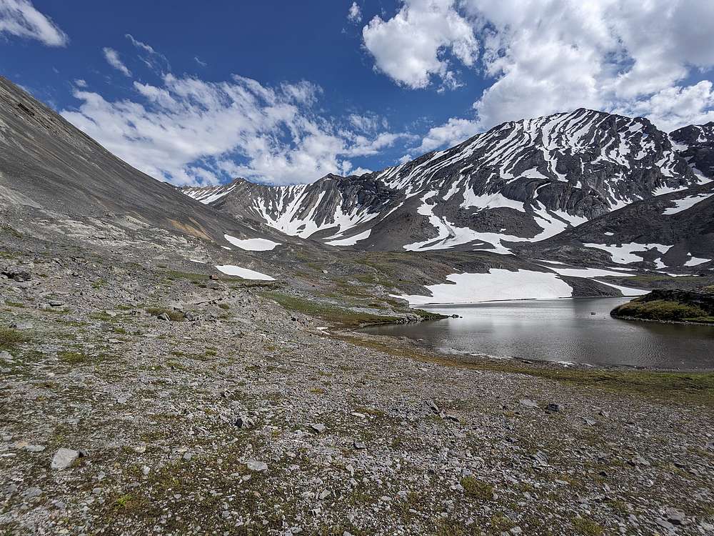
One last view of the lake. I climbed that face back in 2008. It looks steeper now than I remember!
|
|
|
A view looking down the valley. From here its about 3.5 miles back to the trailhead.
|
|
|
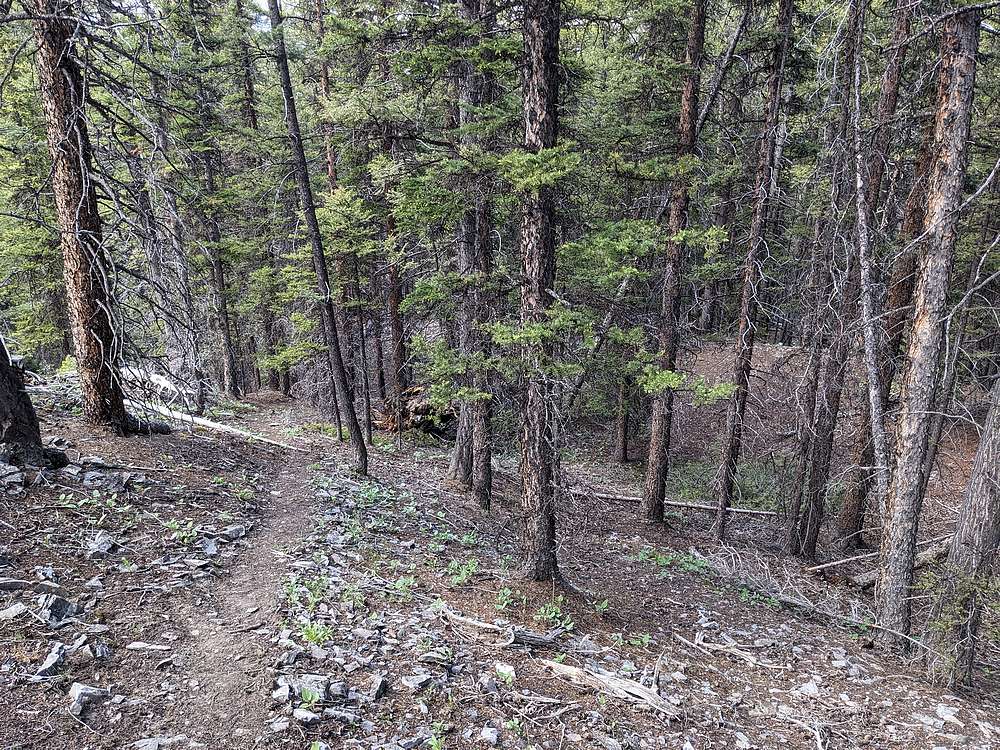
I made pretty good time on the way down, thanks to decent success connecting various game trails through the forest.
|
|
|
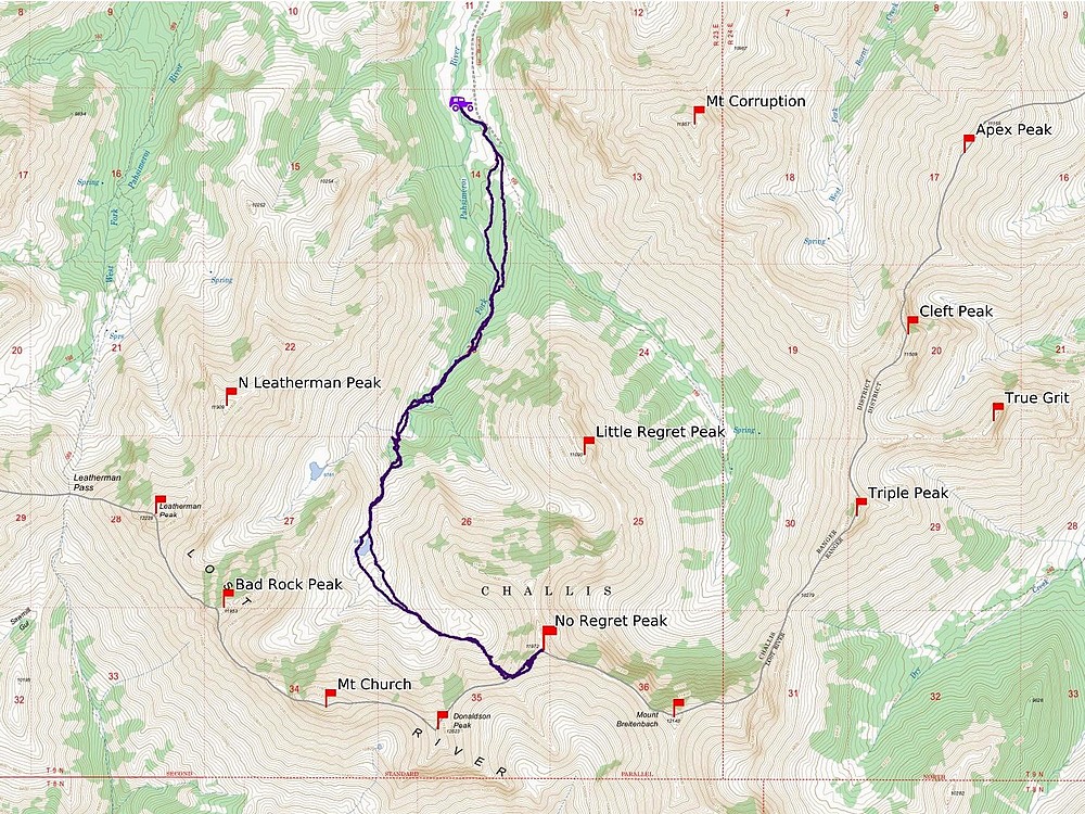
Map of our route. A total of 11 miles and 4100' elevation gain round trip, in about 11 hours of hiking.
|
Related Links
|