|
Alcyone Peak & Atlas Peak
Alcyone Peak and Atlas Peak are located in the Pioneer Mountains of east-central Idaho. These two 11ers form the highpoints of a ridge that separate Muldoon Canyon from the Lake Creek drainage, south of Copper Basin. The peaks are typically climbed separately, and each make for fairly short and straightforward climbs. But is also possible to combine them into a single outing, as described below.
|
|
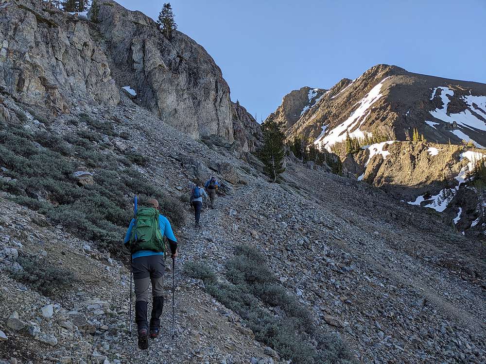
Jason, Bray and Sean were kind enough to let me tag along on one of their Thursday 11er adventures. I drove over the night before, and we met up in Muldoon Canyon, near the start of the Green Lake jeep trail. The jeep trail was in decent condition, but we got stopped by a fallen tree around 8800', so we started our hike from there.
After hiking the remainder of the jeep road, we soon found ourselves on the trail climbing to Green Lake, which provides access to our first objective, Alcyone Peak.
|
|
|
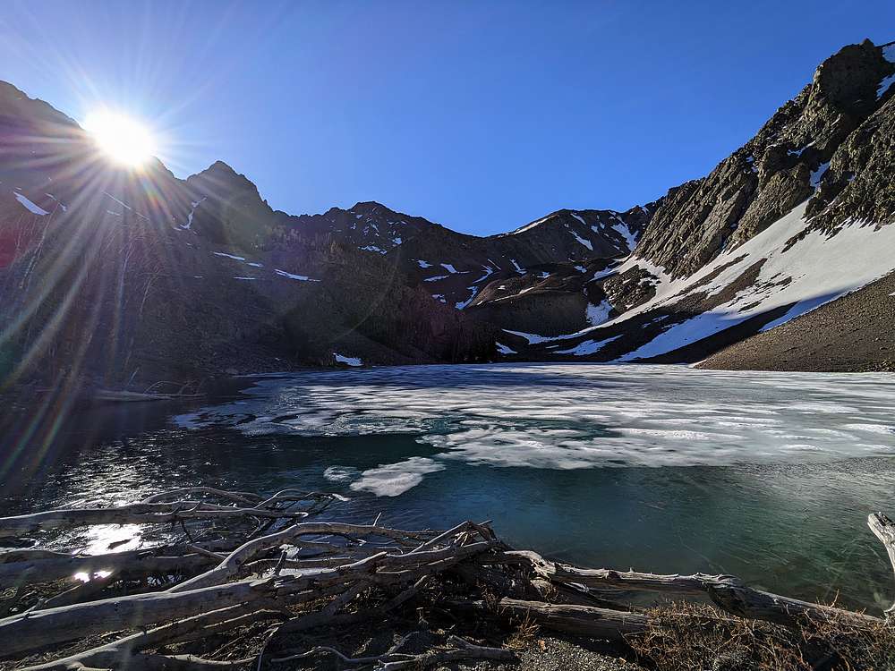
Not long after that, we arrived at the shores of Green Lake, still mostly frozen over.
|
|
|
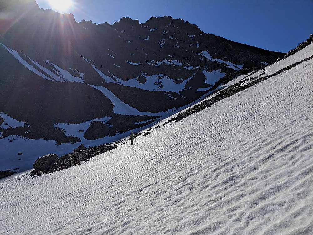
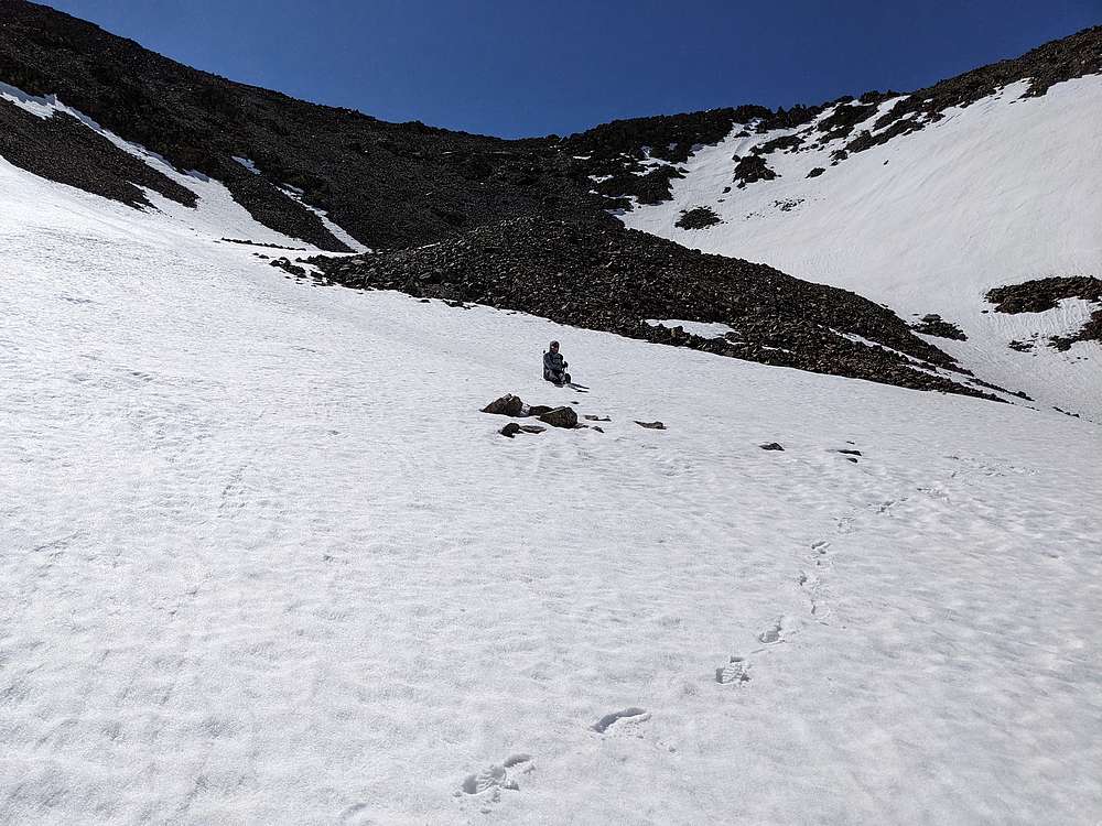
We continued up into the cirque above the lake, which included a few snowfields to cross.
|
|
|
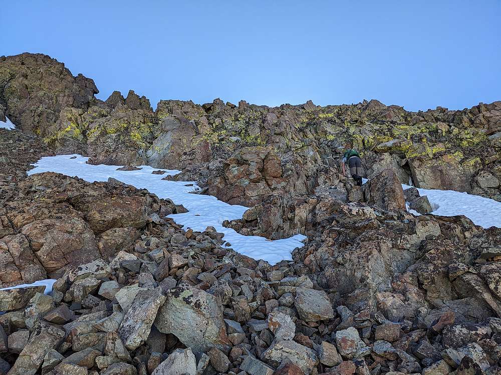
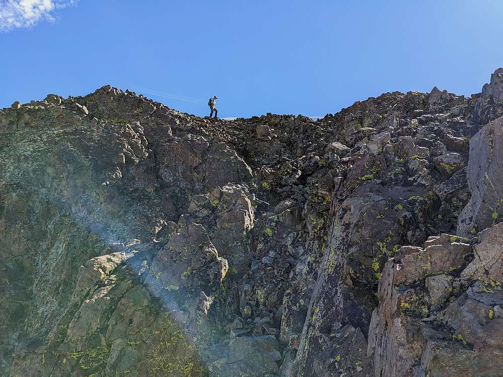
Once at around 10300', we had some decisions to make. Bray and Jason took the more standard route south toward the ridge. Sean and I hung a left, and took a more direct line toward the summit. Along the way, we enjoyed some easy scrambling.
|
|
|
Here's Sean, above the scramble section, nearing the summit of Alcyone Peak.
|
|
|
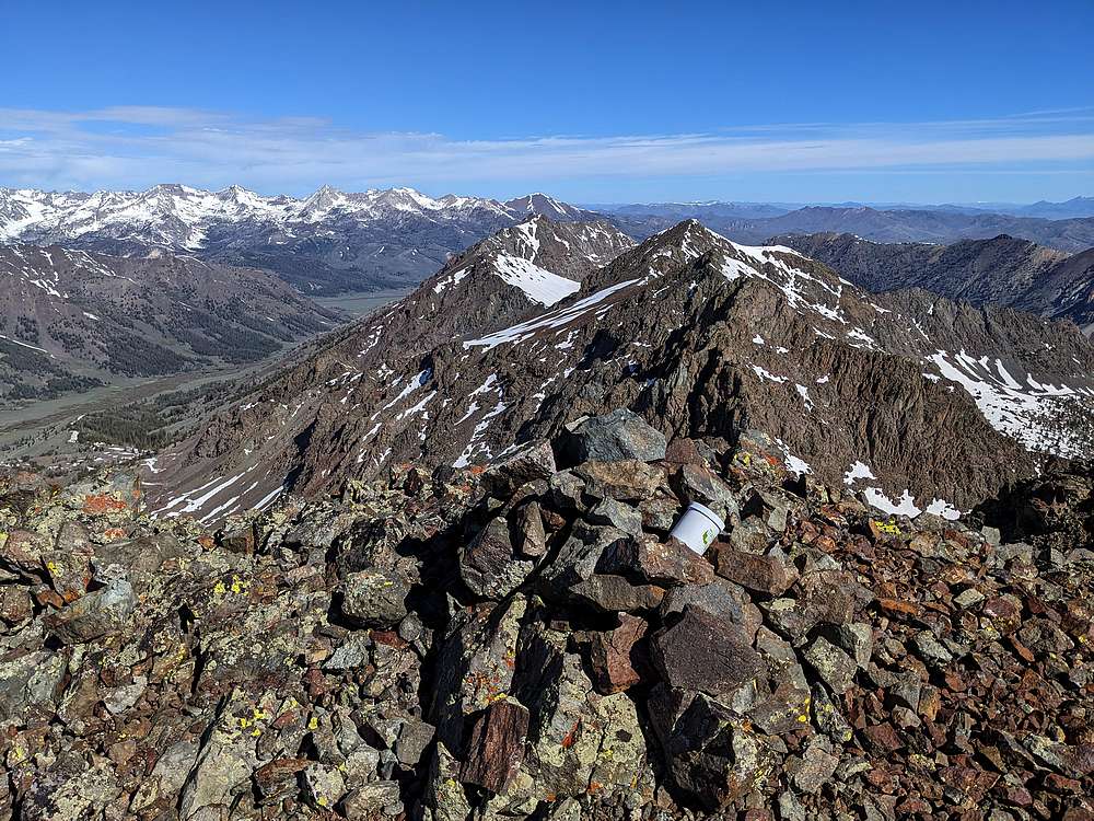
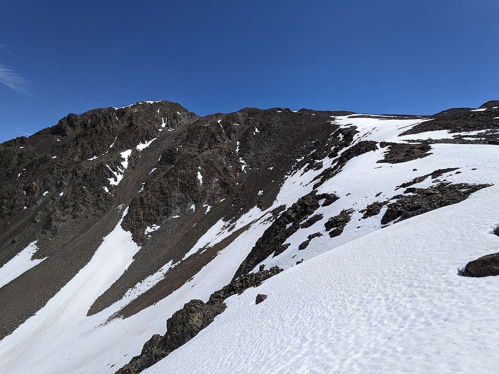
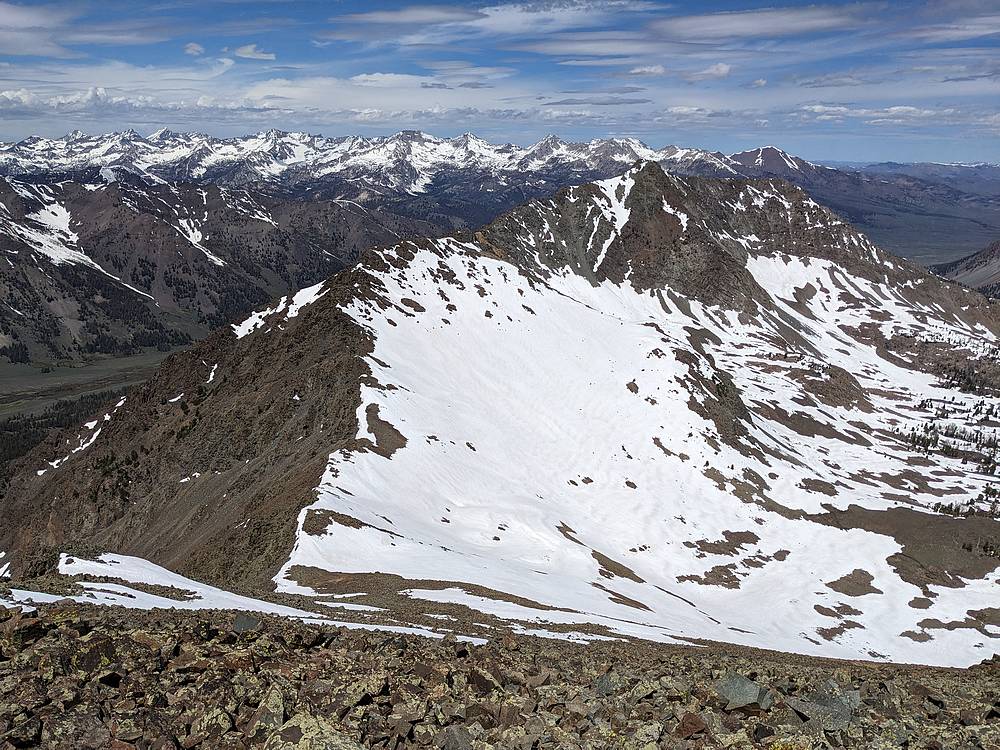
From the summit of Alcyone Peak, we had a good view along the ridge leading northwest toward Atlas Peak.
|
|
|
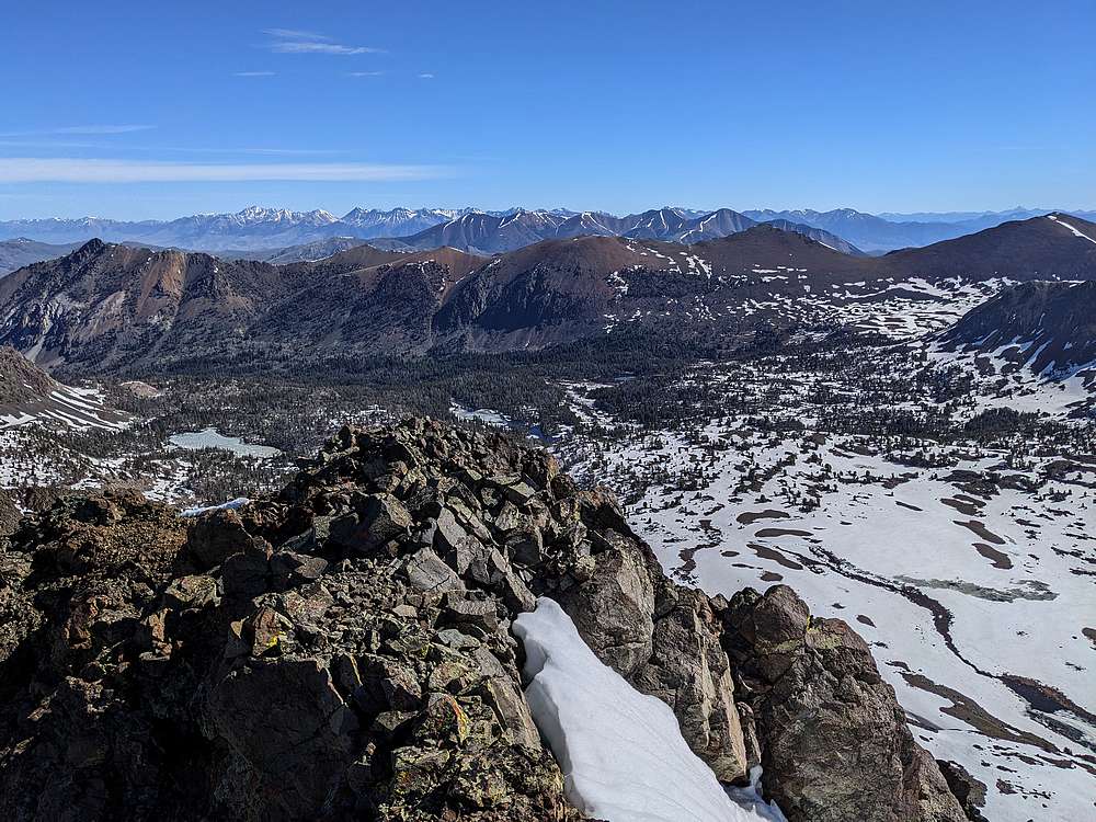
The summit view to the northeast includes the Lost River Range and White Knobs. Closer in are Double U Peak and The Ramp, rising above the upper Lake Creek basin.
|
|
|
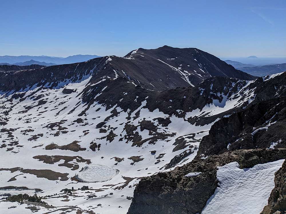
Smiley Mountain from the summit of Alcyone Peak.
|
|
|
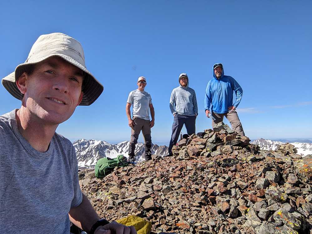
Group shot on the summit of Alcyone Peak.
Jason had climbed Atlas Peak previously, and decided to stay on Alcyone to enjoy the views. The rest of us began discussing plans. Bray stuck with the original plan to retrace the route back to the vehicles, then drive down to Muldoon Canyon, and over to the base of Atlas Peak. And Sean I decided to stay higher up. We ended up getting split up, with me heading back up toward the ridge, and Sean contouring around the side of the ridge before taking a more direct route up Atlas.
|
|
|
But first, we all enjoyed some good glissading comging down Alcyone!
|
|
|
Once back down to around 10k, Sean and I contoured around to the northwest. Then I took the first decent looking gully back up to the ridge. Here's a view from ~10500', looking up toward the blue pin peak shown on the map.
|
|
|
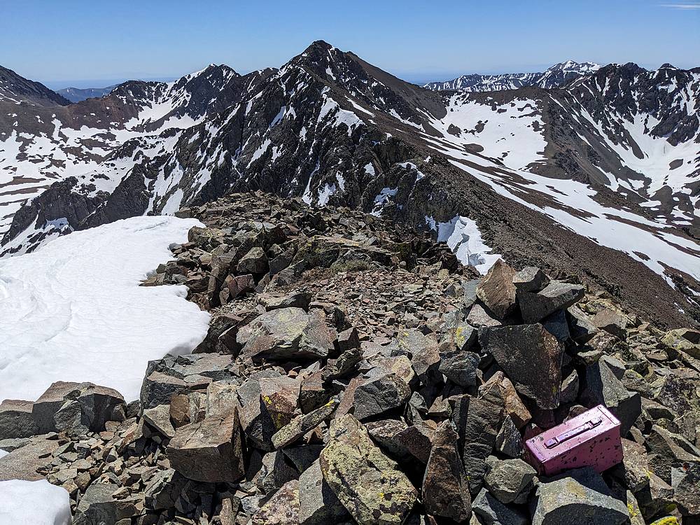
Along the ridge I summited Point 11100', a "blue pin" which Rick Baugher calls 'Pleione'. There is also a register which describes it as home to the "Pink Monster Geocache", and the log surprisingly had several entries for a highpoint lacking just enough prominence to be considered a peak. Here's a view looking back toward Alcyone.
|
|
|
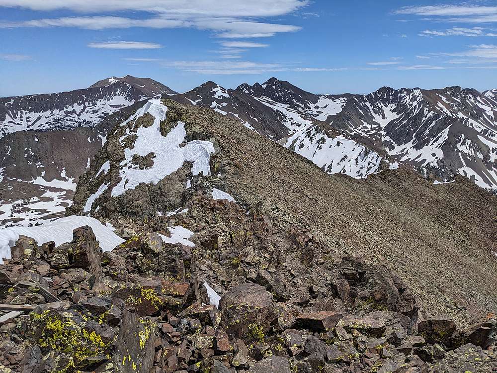
From the blue pin, I had a good view of the route leading to Atlas. Still some work to do….
|
|

|
Plenty of route-finding as I weaved along the ridge, and here's a shot of the summit of Atlas finally coming into view.
|
|
|
Here's a view of Smiley Mountain, and Alcyone, from the summit of Atlas Peak. Bray and I had been texting via our garmins, and met here. No sign of Sean though, but we later found he had climbed Atlas then descended back to the parking spot.
|
|
|
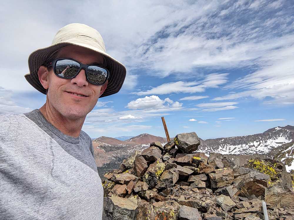
Here I am on the summit of Atlas Peak.
|
|
|
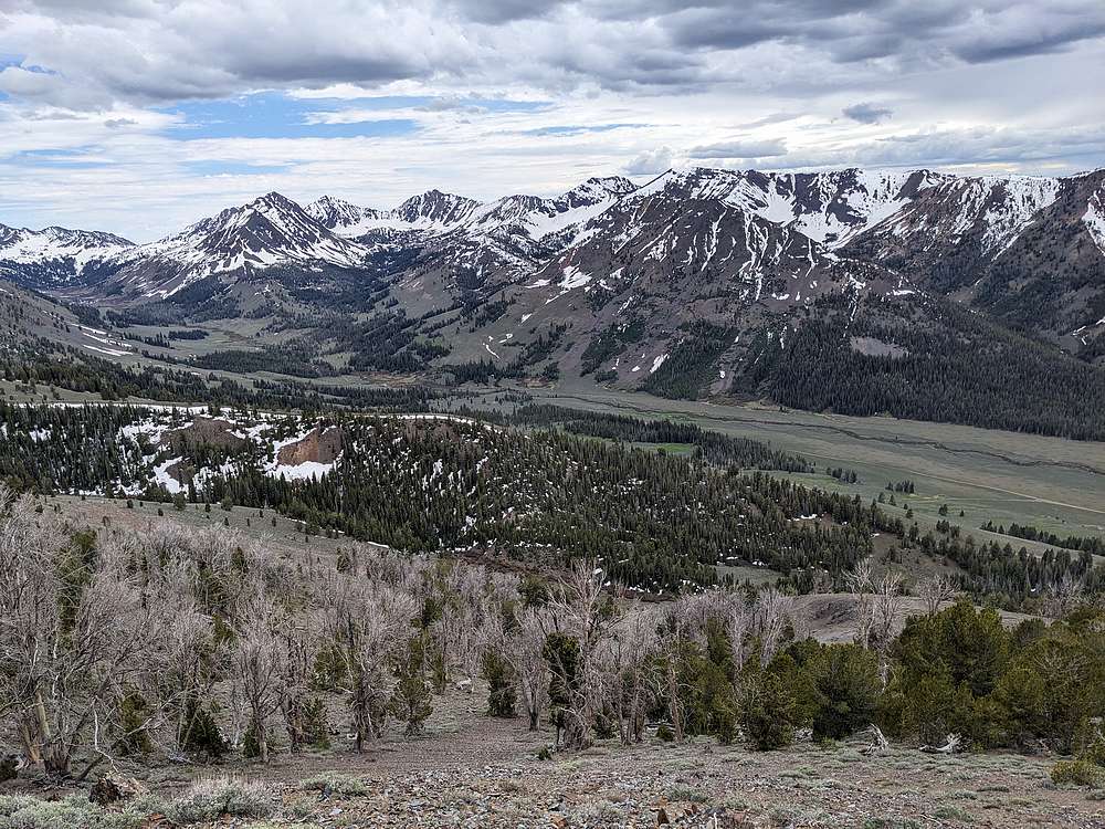
From Atlas, I descended to the southwest, and back toward our parking spot, somewhere down in those trees below.
|
|
|
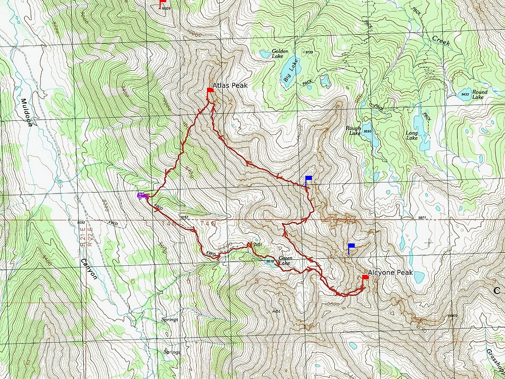
Map of my route. Round trip was just over 7 miles and 4300' of elevation gain in just under 9 hours. A fun adventure on a beautiful day.
|
Related Links
|