|
Mount Bierstadt
Elevation 14066'
Mount Bierstadt is located in Colorado’s Front Range, an hour or so from Denver. It is the 37th tallest peak in Colorado, and the 47th tallest in the lower 48 stats. In the summer, the route up the western slopes from Guanella Pass is one of the easier routes up a 14er. The easy route, and close proximity to Denver, make it a very popular hike. But doing it earlier in the year, on snow, makes for a more challenging climb, less crowds, and a longer hike from the lower winter trailhead, 1.5 miles below Guanella Pass.
|
|
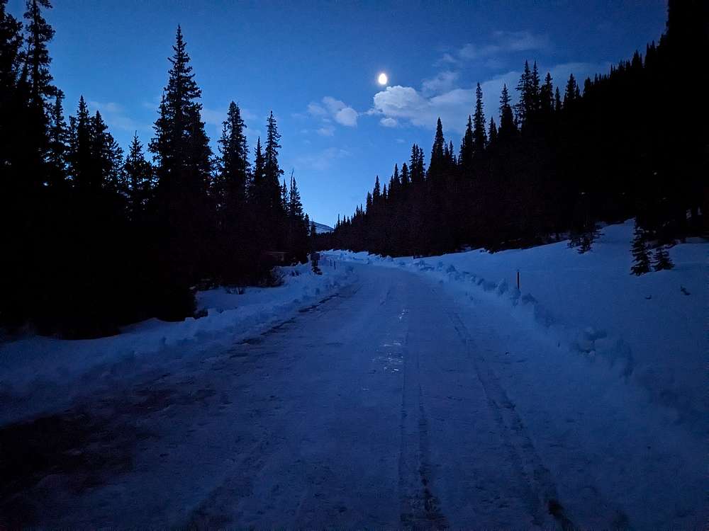
I was in Denver on a work trip, and added a day to tackle Bierstadt. But I had to catch a 7:30pm flight home, so an early start was in order. At just after 5am, I started hiking from the winter trailhead, heading up the highway in the moonlight. Road clearing in progress, but still gated.
|
|
|
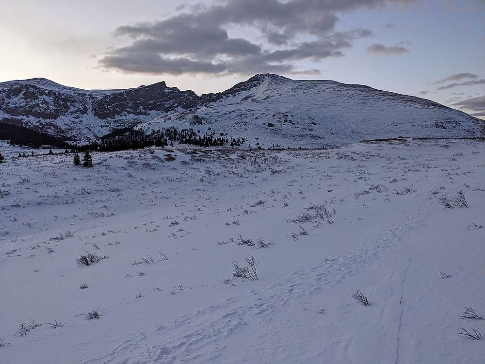
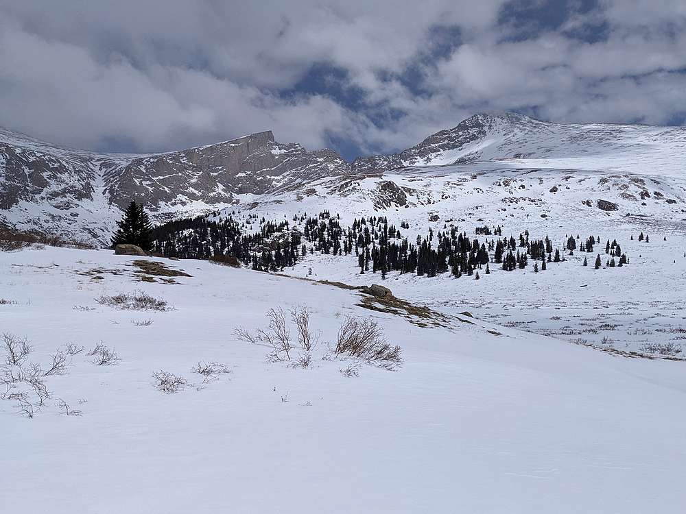
Here's Guanella Pass, after about 40 minutes of hiking. Bierstadt and Sawtooth Ridge in full view.
|
|
|
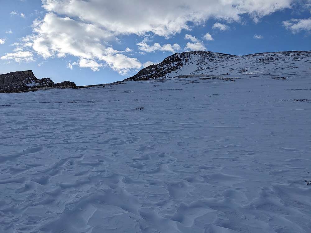
The snow was supportive for the most part as I climbed the west slopes of Mount Bierstadt. This helped me make pretty good time.
|
|
|
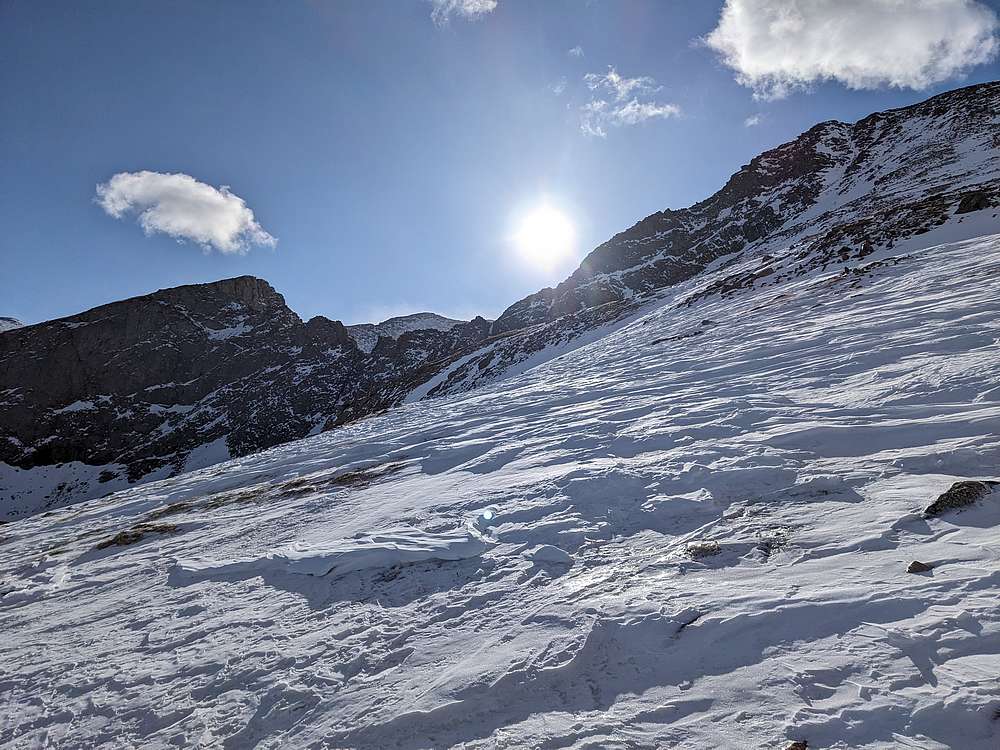
The sun was a welcome sight as I climbed Bierstadt.
|
|
|
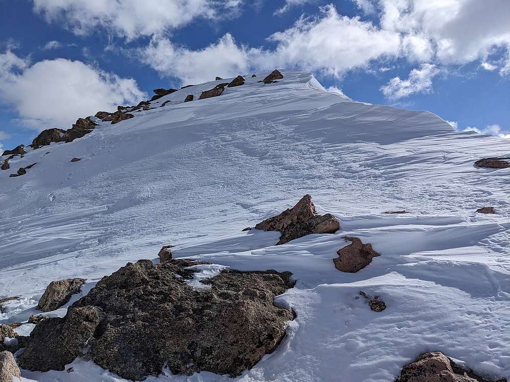
Nearing the summit of Mount Bierstadt.
|
|
|
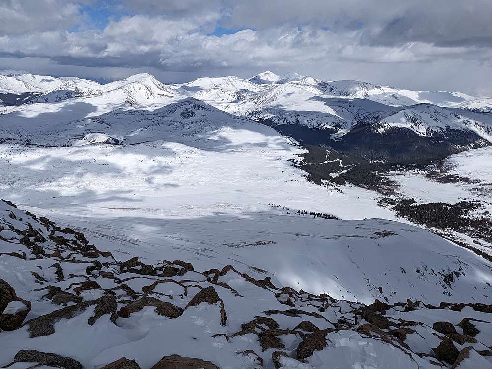
Looking back down the west slopes route. Guanella Pass below, with Grays and Torreys in the background.
|
|
|
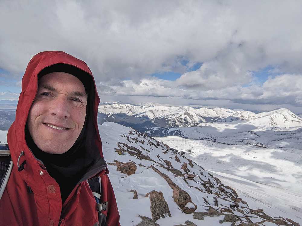
Bierstadt summit shot. About 4 hours to reach the summit, so I decided I had enough time to attempt the Sawtooth Ridge traverse, and maybe even climb Mount Blue Sky if I had time.
|
|
|
Descending Bierstadt's north ridge toward The Sawtooth.
|
|
|
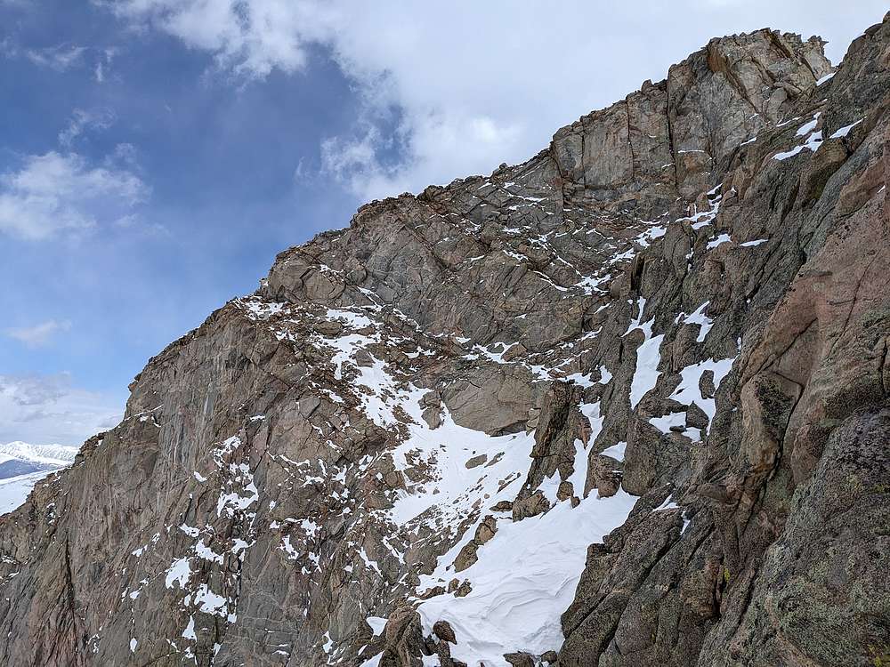
I took my time descending to the saddle, and arrived at what is normally the crux. It ended up being easier than the descent (kicking steps down firm snow), and easier than the snowfields that followed.
|
|
|
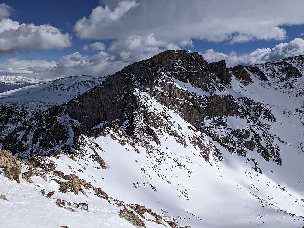
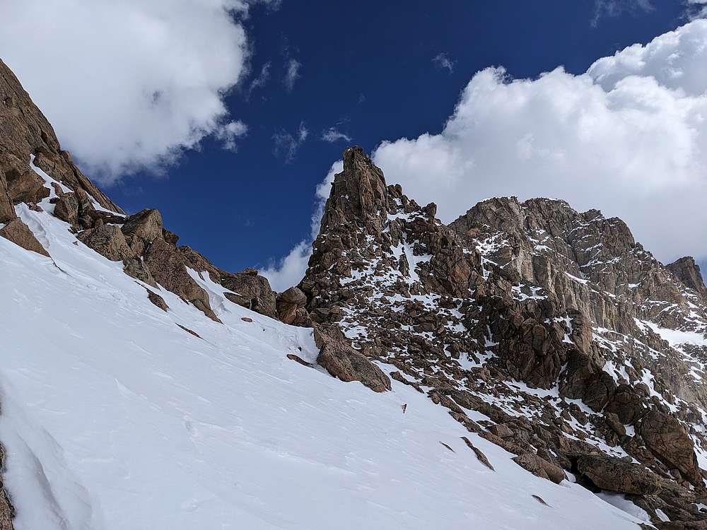
After the crux, I continued toward the ledge system. This ended up being kinda spicy since the ledges were partially full of snow, with plenty of exposure below.
|
|
|
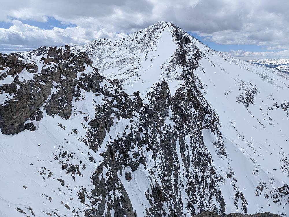
Looking back at Bierstadt, and the snowy ledges I crossed. Steep drop!
|
|
|
This is a shot from near Guanella Pass. Long story short, the ridge traverse was time consuming! I did make it part way along the ridge to Mount Blue Sky, but fatigue and heavy wind made for slow progress. I went 30 minutes past my turn around time, and eventually had to stop short of the summit and head down. After descending the prominent gully (left side of this photo), I was thankful for the snowshoes I'd rented, which helped minimize post holing through the willows. I hustled back down to the lower trailhead, and eventually made it to the airport, just in time to catch my flight home!
|
|
|
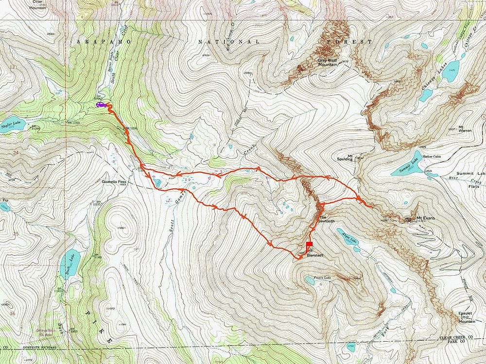
Map of my route. Round trip was around 10 miles and 4200' of elevation gain in about 10 hours. A great adventure, just wish I had a little more time.
|
Related Links
|