|
Grandeur Peak & Church Fork Peak
Grandeur Peak is located in the central Wasatch Range near Salt Lake City. It is a popular hike, with the well maintained Church Fork trail being the most common route up. The peak is climbed year round, featuring a well used trail even in winter. Grandeur Peak can also be combined with other nearby peaks to create a longer day. In my case, I added in Church Fork Peak for some extra adventure.
|
|
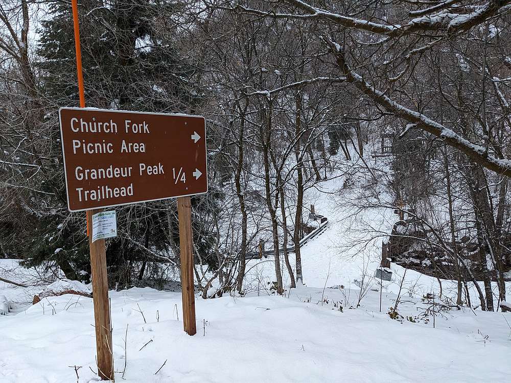
I parked at the winter parking spot on the side of the road leading up Mill Creek Canyon.
|
|
|
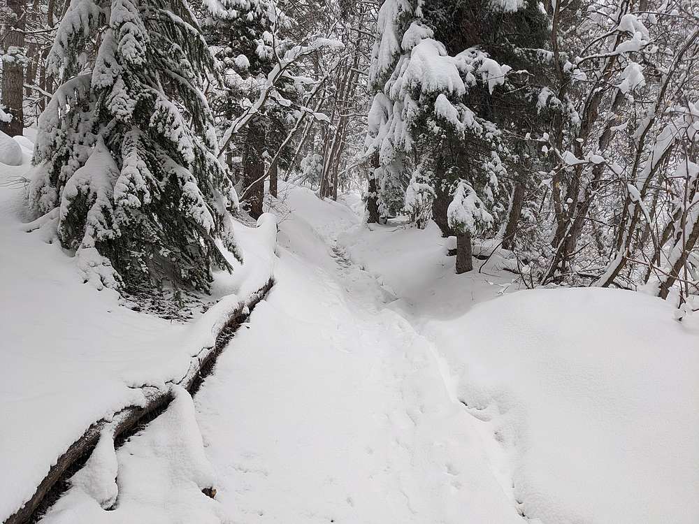
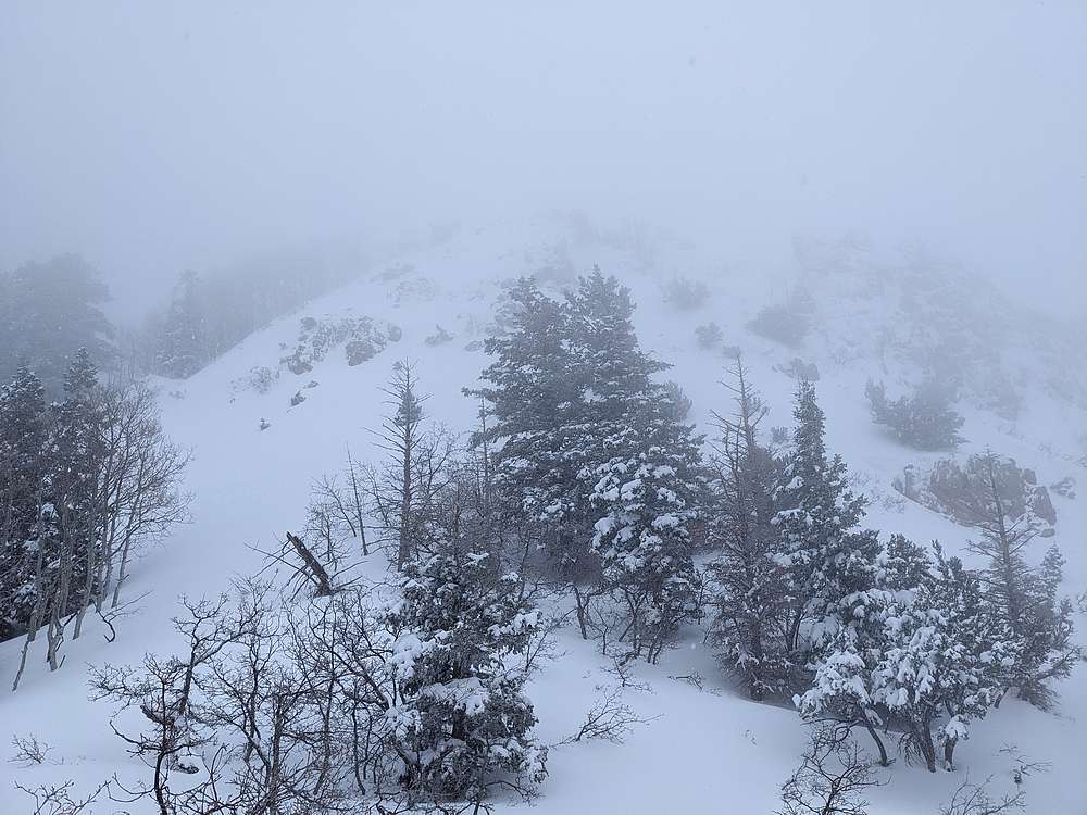
The trail was quite scenic, featuring fresh snow from the night before.
|
|
|
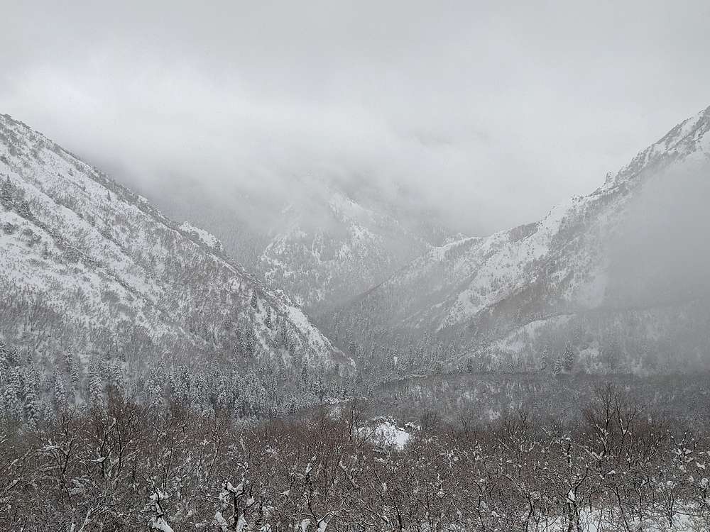
It snowed most of the day, with low cloud cover blocking the views. But here's a shot looking down the Church Fork.
|
|
|
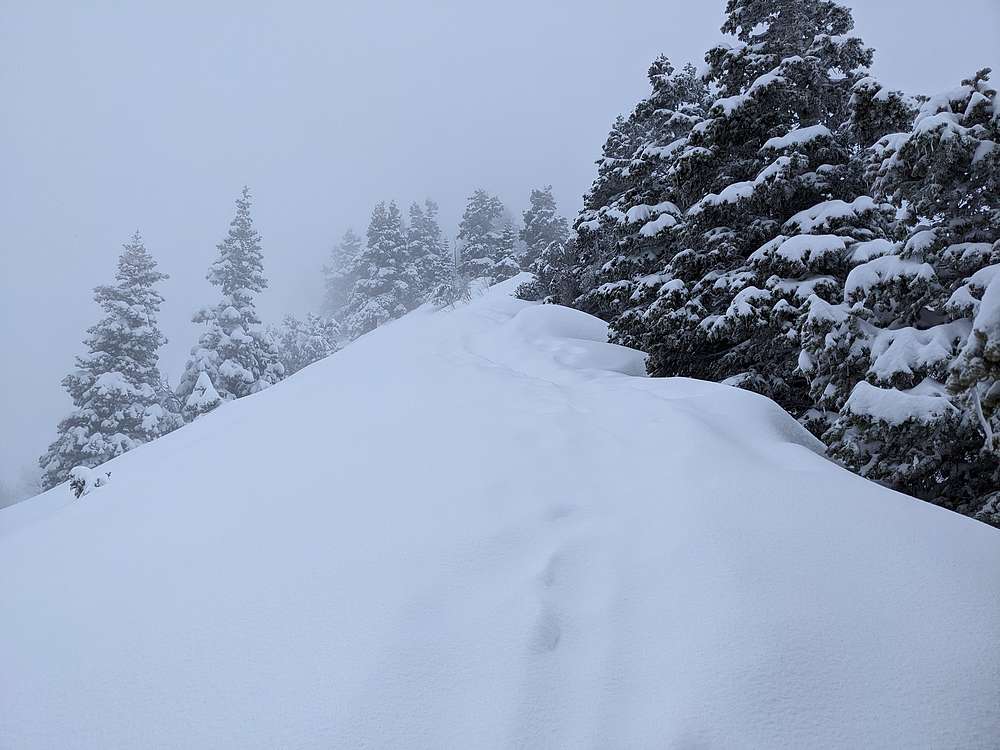
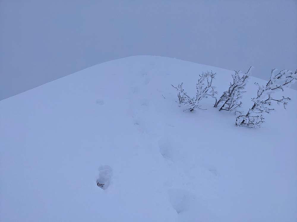
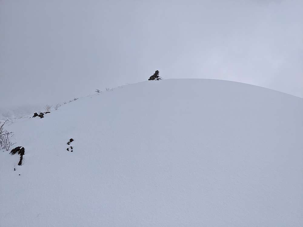
Once on the upper ridge to Grandeur Peak, I was breaking trail through ankle deep snow. But it wasn’t too bad thanks to a packed trail under the fresh powder.
|
|
|
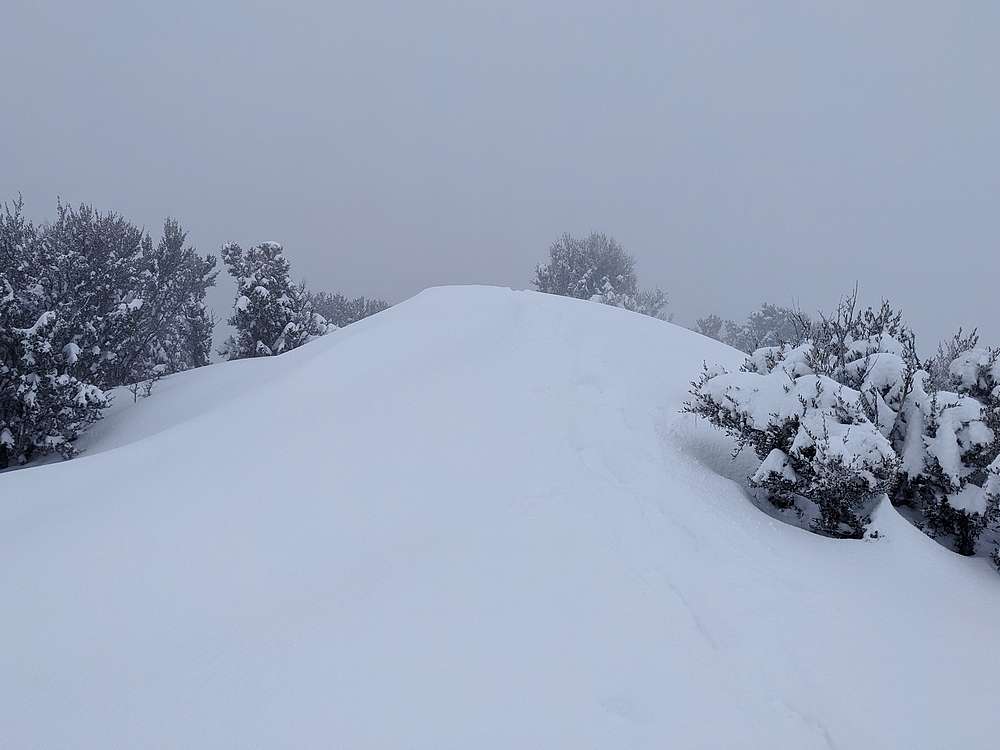
Not much in the way of views from the summit of Grandeur Peak, so I didn't linger long before making my way back down the trail to the saddle. I had plans to tackle nearby Church Fork Peak, but it was snowing heavily at the saddle, so I debated for awhile before finally donning snowshoes to head up the ridge.
|
|
|
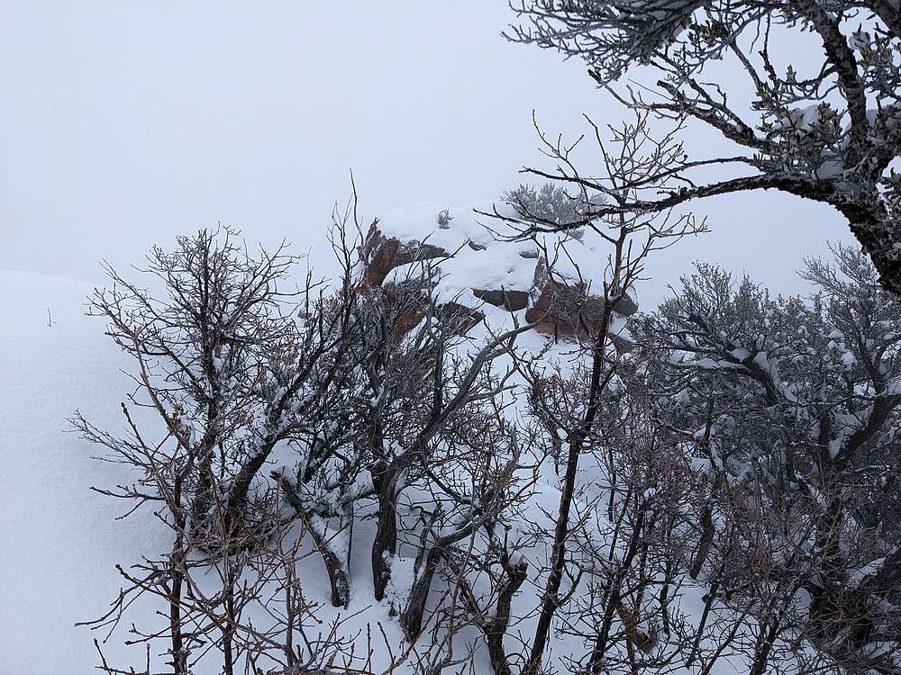
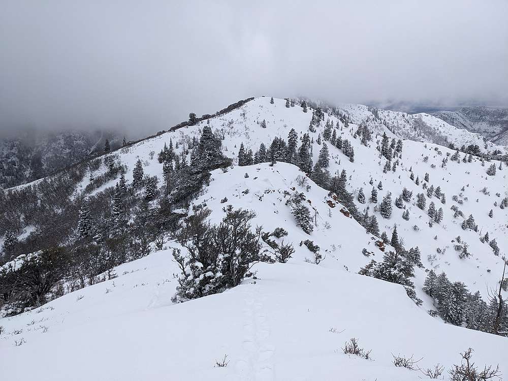
Shown here is Point 7868', still no views. But that actually added to the adventure.
|
|
|
I tried to stay to the ridge along the way, but there were a few rocky sections to negotiate.
|
|
|
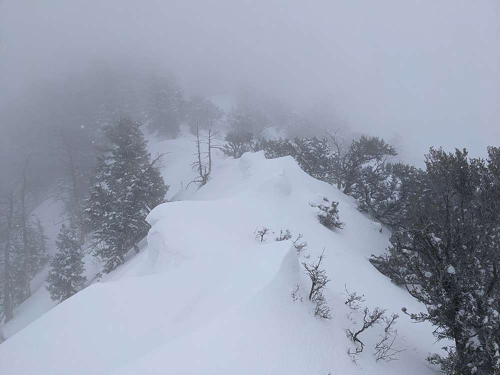
It gets windy up here. Check out this section of ridge with opposing corniced sections.
|
|
|
After awhile I made it to the steepest section of the day, at the base of Church Fork Peak. The best way from here leads left, then up the left-hand ridge.
|
|
|
Summit cairn on top of Church Fork Peak, and some signs of sun. Although muted. I had a quick snack on the summit, before heading back down along the ridge.
|
|
|
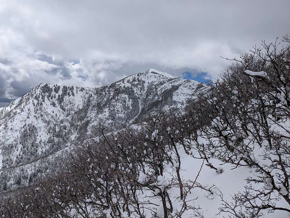
On the way down from Church Fork Peak, the clouds began to lift a bit, allowing at least partial views.
|
|
|
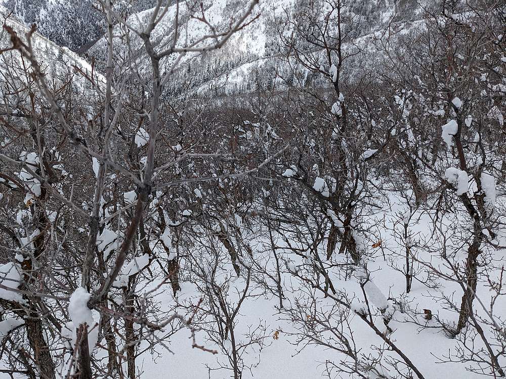
I backtracked along the ridge for awhile, until directly above the trail ~600' below me. This would be a shortcut, but some horrible bushwhacking to contend with. Here's a view of Grandeur Peak during the bushwhack.
|
|
|
Can't say I'd recommend this route, especially in snowshoes. It might have been faster to follow the ridge all the way back to the saddle instead.
|
|
|
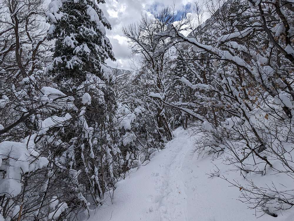
The trail was a welcome sight after the bushwhacking! From here, it was just a couple mile stroll back to the trailhead.
|
|
|
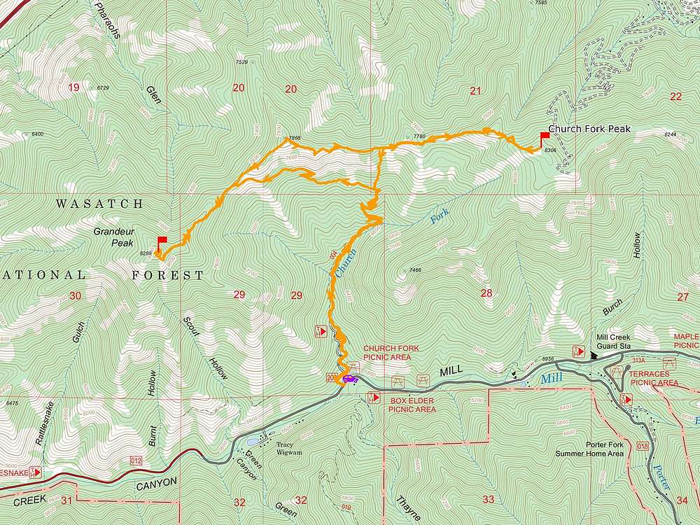
Map of my route. Round trip was around 9 miles and 3800' of elevation gain in about 7.5 hours. A fun adventure in an area new to me.
|
Related Links
|