|
Smiley Mountain
Elevation 11508'
Smiley Mountain is located in the Pioneer Mountains of central Idaho. It anchors the southern end of the range, and has the distinction of being the southernmost 11,000 foot mountain in Idaho. It’s a fairly popular mountain to climb, and offers up some outstanding views thanks to over 2600’ of prominence. It is most often climbed from the south, from Iron Bog Creek.
|
|
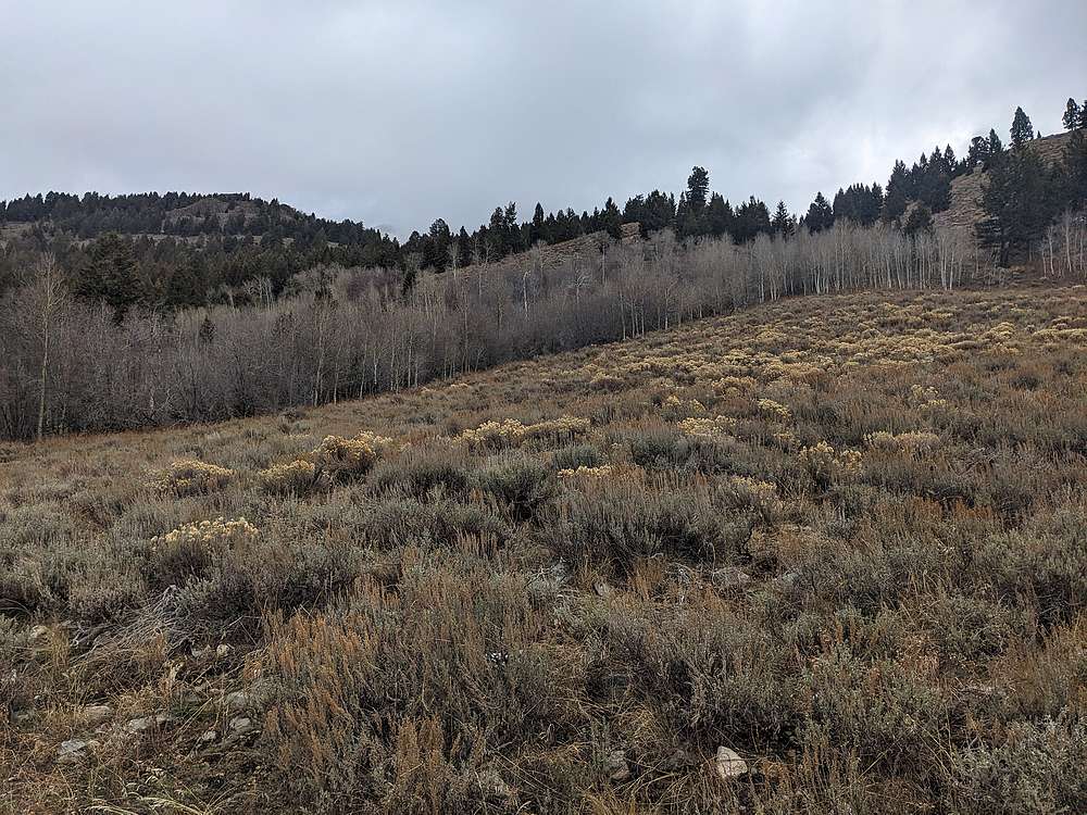
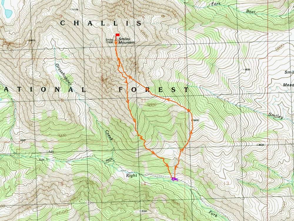
With good weather holding into November, it was a great opportunity to attempt one more high peak before the snow hit. So I decided to make the 4.5 hour drive from Boise to the high clearance "trailhead" on the Right Fork Iron Bog Creek. Several trip reports mentioned bushwhacking at the start of the hike, so I veered a bit east to try and avoid that.
|
|
|
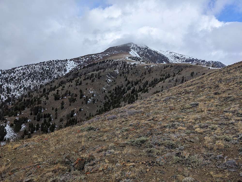
My route worked well, and avoided the bushwhacking. Soon enough, I was nearing the ridge, and Smiley came into view. Only the summit was hid in clouds.
|
|
|
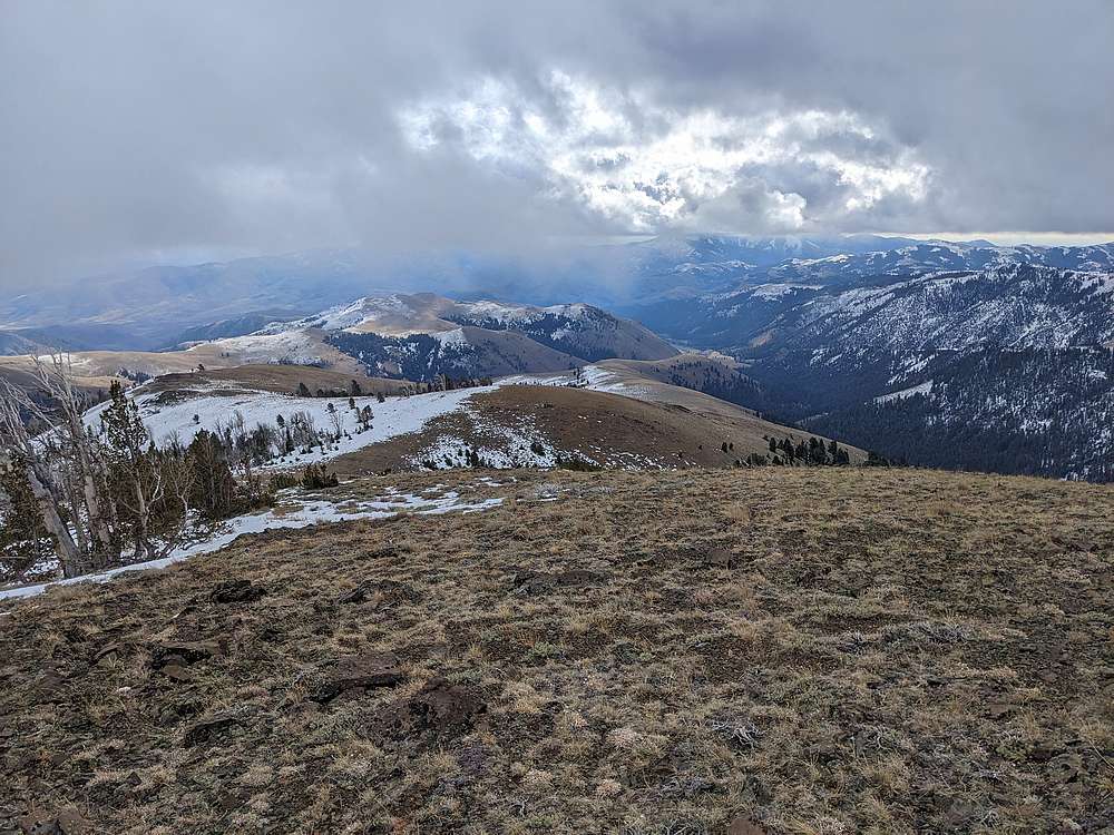
Looking back to the southeast, I could see the Splattski/Zach route, which looks like a great option.
|
|
|
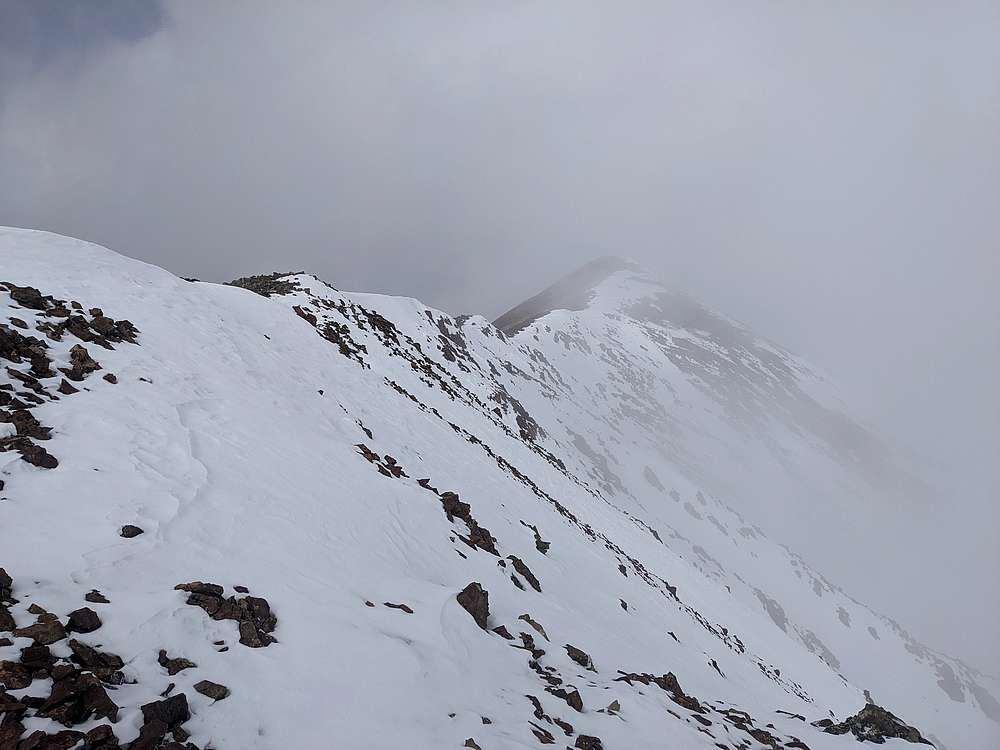
Once on the ridge, it was another 2000' of talus climbing to reach the false summit. Here's a view toward the highpoint, back in the clouds. It look me just under 3 hours to reach the summit.
|
|
|
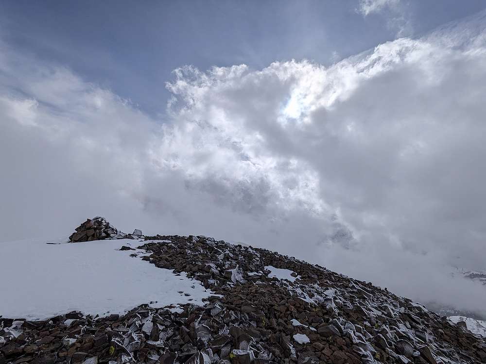
I'd heard Smiley has great summit views, but too many clouds to enjoy any views today. But I did enjoy a PBJ, just appreciating being on the summit of an 11er in mid November.
|
|
|
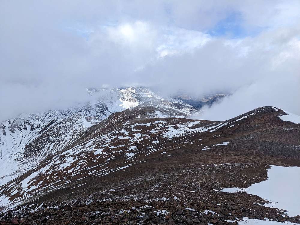
Here's a view looking north from the summit.
|
|
|
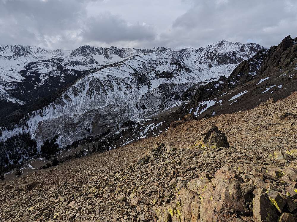
I'd come up the southeast ridge, but decided to make a little loop, and go down the south ridge. Along the way, I had some good views looking west. Alcyone Peak is back there somewhere.
|
|
|
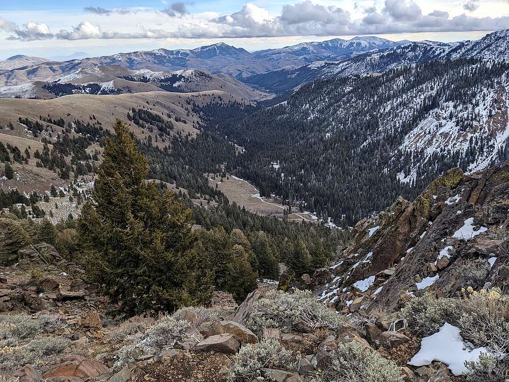
Other than scaring up a couple grouse, the descent was uneventful. This is the view looking down into Iron Bog Creek. My truck is down there somewhere.
|
|
|
Map of my route. Round trip was about 5 miles and 3600' of elevation gain in 5 hours of hiking.
|
Related Links
|


