|
Lost Basin Peak
Elevation 7129'
Unofficially named Lost Basin Peak is located in the Lick Creek Range of western Idaho. Reaching the summit is a short hike, with a fun final scramble to reach the summit. To access the peak, head up Warm Lake Road from Cascade, and take the turnoff to Horsethief Reservoir. Just before the reservoir, turn left on FS road 433. Follow road 433 to Lost Basin, with the hike starting at an overgrown road shown on the maps as 433C. A high clearance vehicle is recommended to reach the trailhead.
|
|
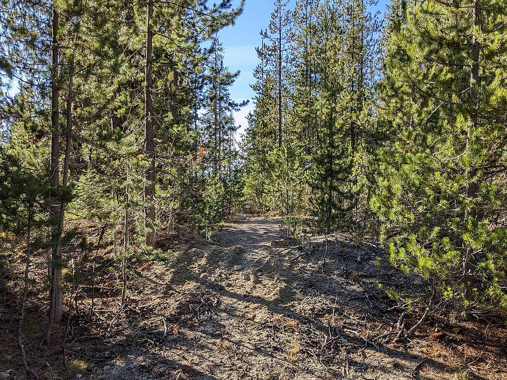
The hike starts on an overgrown road labeled 433C on the maps. Its burmed at the start, and not accessible to motorized traffic.
|
|
|
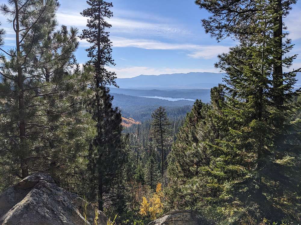
I hiked the old road for about mile, with occasional views along the way. This is looking down at Horsethief Reservoir, and some larches in fall color.
|
|
|
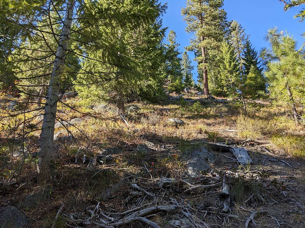
After a mile of flat hiking, I left the road and headed uphill toward Pt 7114'. The hillside was steep enough to get the blood pumping.
|
|
|
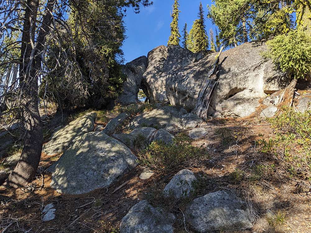
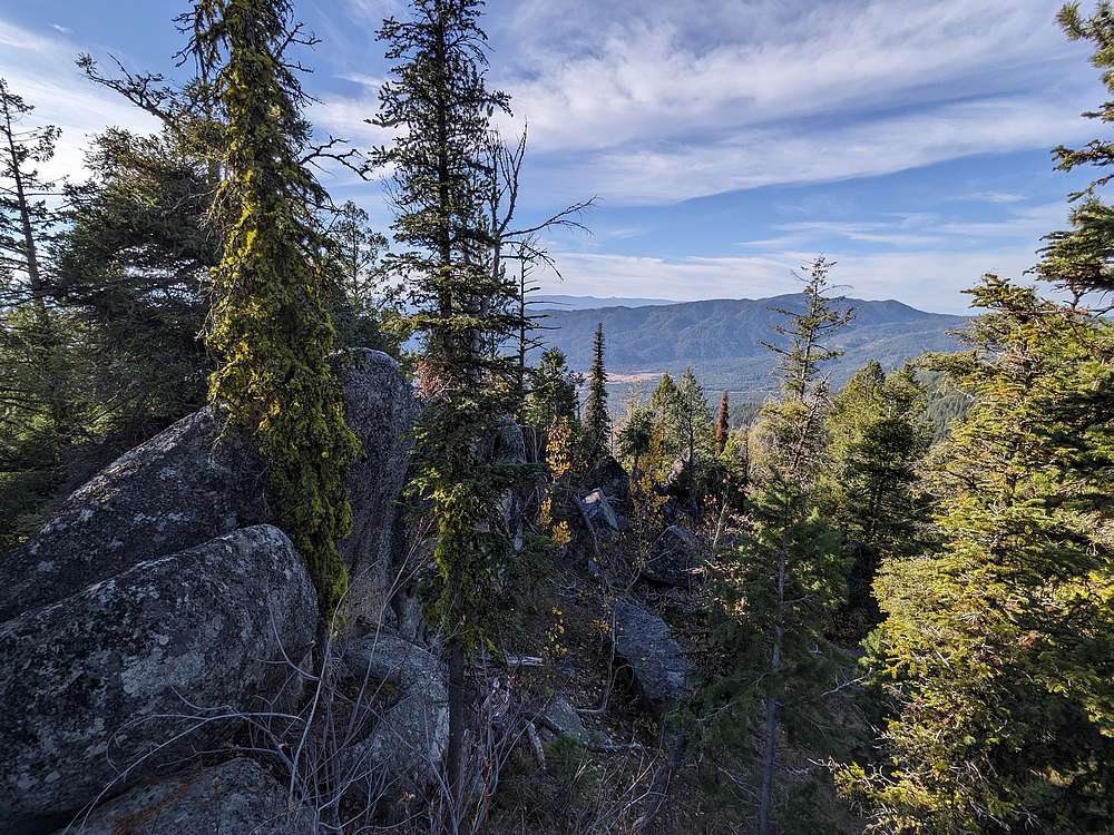
From Pt 7114', I wandered northeast toward the summit, shown here. It was a cool granite outcropping, and included a cool keyhole through the bottom.
|
|
|
Here's the highpoint, with Eagles Nest in the distance to the northwest. The lichen on the summit rock made the last couple of exposed moves a little unnerving.
|
|
|
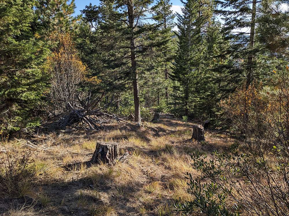
On the way down, I took a more direct route back to the road. I followed an old trail most of the way. It could have been an old logging skid road based on the stumps.
|
|
|
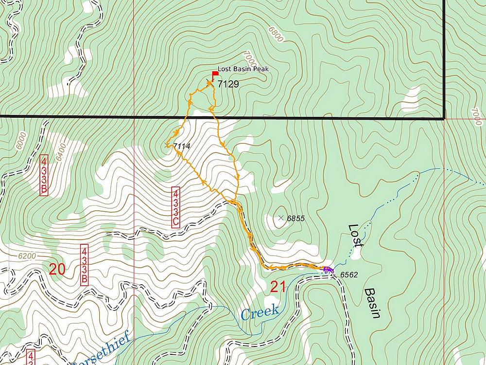
Map of my route. Round trip was about 2 miles and 700' of elevation gain. The hike took just over an hour.
|
Related Links
|
 |
IdahoAlpineZone is unofficially sponsored by Skippy Peanut Butter.