|
Curtis Peak & Kline Mountain
|
Related Links:
Curtis Peak
Kline Mountain
|
Curtis Peak and Kline Mountain are located in the Salmon River Range of central Idaho. The peak are found on either side of the South Fork Salmon River, near Warm Lake. The peaks themselves aren’t particularly interesting, but they do offer up some pretty good views of the surrounding terrain. Also not sure if they would be very appealing in summer, but plowed roads do provide winter access and allow for snowshoe approaches.
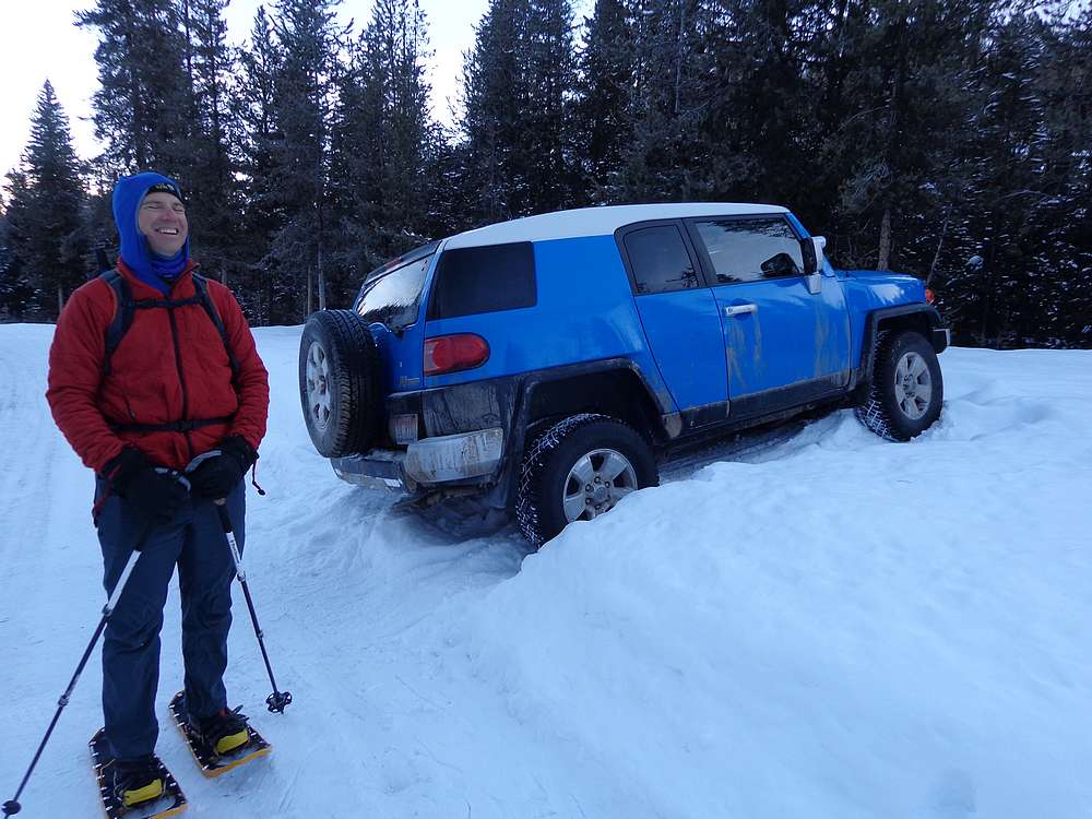
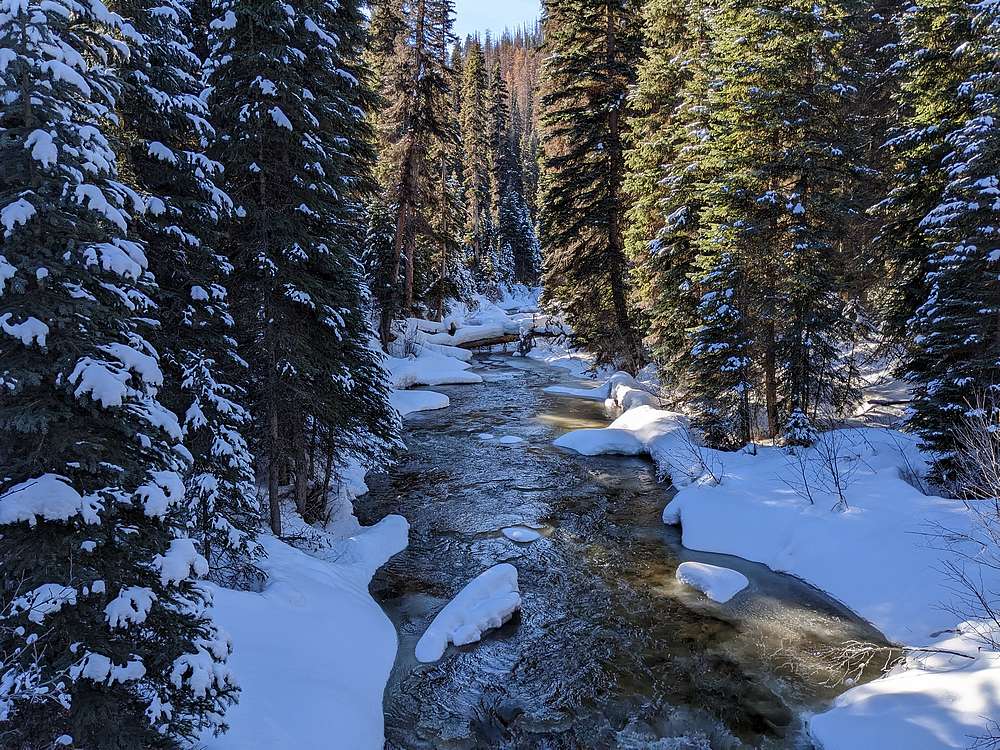
After we scrapped other plans in favor of something closer to home, Michael and I made the 2 hour drive from Boise to the Warm Lake area. Splattki’s trip report mentioned a bridge to get us across the creek to access Curtis Peak. We found the starting point, and after some creative parking, we hit the trail in cool/crisp single digit temperatures.
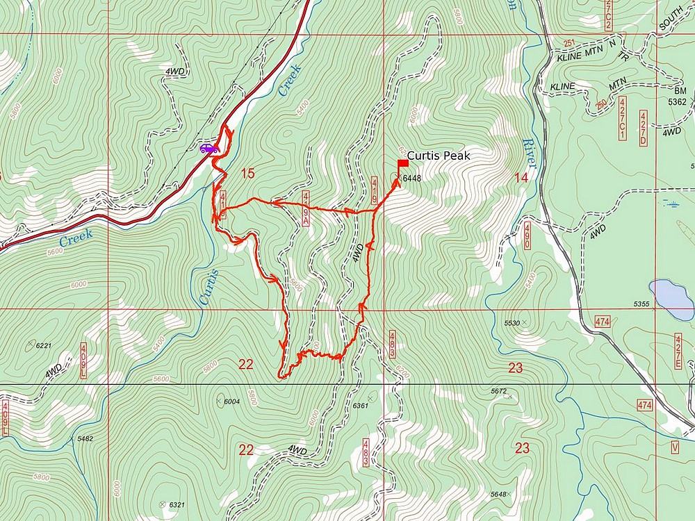
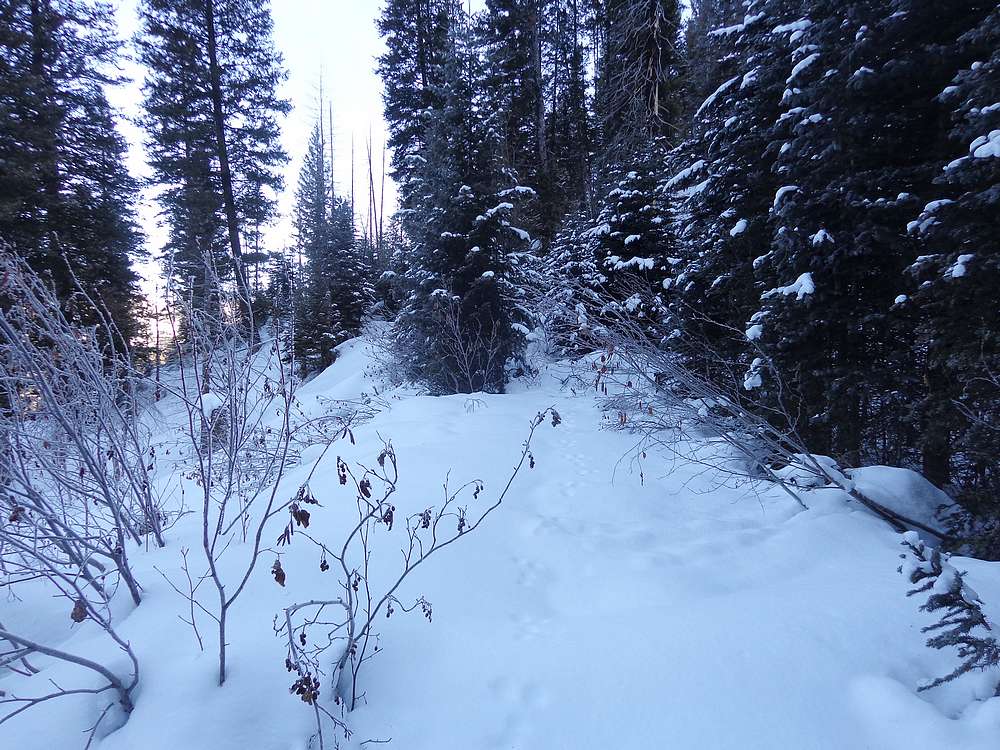
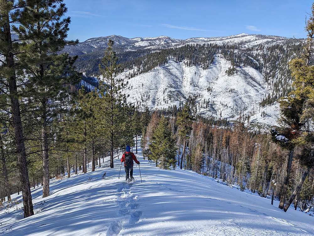
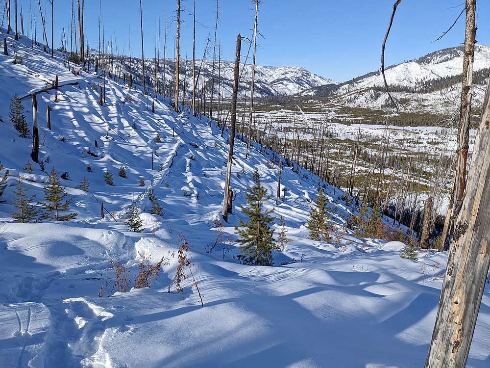
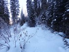
The start of the hike follows an old road across the creek and up the hillside. We followed the overgrown road for a mile and a half, but it became choked with brush, so we had to improvise. When in doubt, head up! Snow conditions were good, with powder less than shin deep, so we switch-backed straight up the hillside until reaching the ridge south of the summit.
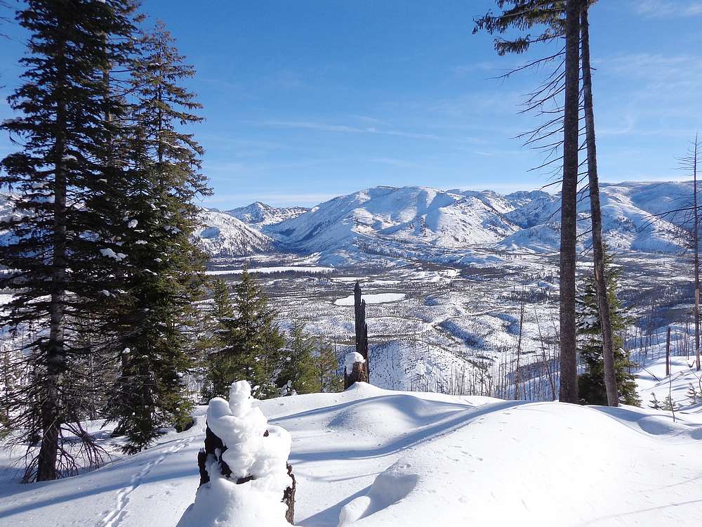
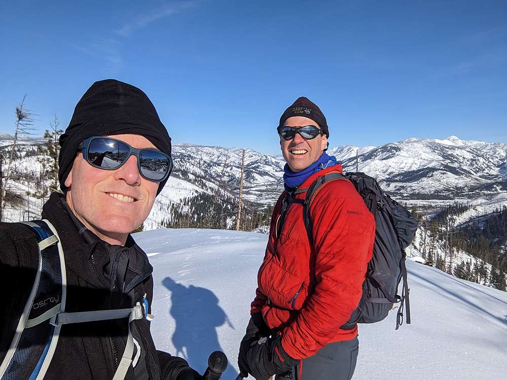
Great views of the Warm Lake area greeted us on the ridge, which made for a scenic final half mile to the summit of Curtis Peak. The sun was out, and wind was minimal, so we took some extra time enjoying the views, and of course a PBJ!
On the way down, we decided on a more direct route. That worked out very well, and led us back to our tracks not too far from the bridge. Stats for the hike were just under 4 miles and 1300’ elevation gain in 3.5 hours round trip.
It was still early, so we decided to head up the road a little further and try our luck on Kline Mountain. We parked at the north side of the peak, near the road to Stolle Meadows. From the start, we could see ample snow coverage, but still plenty of forest fire deadfall in our future. But the weather was great, and the summit was only about a mile away, so off we went.
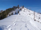
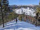
We wound through little trees for a bit, then started heading up the north slopes of Kline. As we climbed, the deadfall was plentiful, and the best path wasn’t always obvious, but up we went. We zigged and zagged around snow covered logs, weaved between them, and eventually made our way to the top.
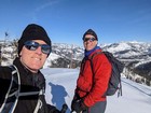
Views and weather conditions were both good from the flattish highpoint. We had a snack and then decided to head back down. We stopped to chuckle a few times during the descent, marveling at the unlikely route that had lead up us up. Stats for the hike were just over 2 miles and 700’ of elevation gain in 2 hours round trip.
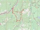
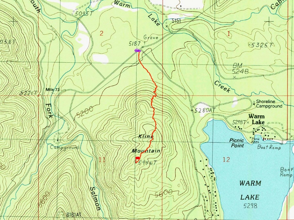
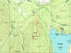
Map of the route up Curtis, 4 miles and 1300' gain round trip. |
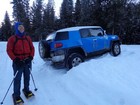
Creative parking for Curtis Peak! |
The road got brushy after a while… |
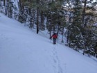
Heading up toward the ridge. |
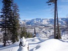
First view of Warm Lake from the ridge. |
Final stretch to the summit of Curtis Peak. |
Curtis Peak summit selfie. |
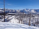
Warm Lake from Curtis Peak. |
We took the easy way down. |
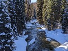
Beautiful creek crossing. |
Map of the route up Kline, 2 miles and 700' gain round trip. |
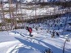
Climbing the lower slopes of Kline Mountain. |
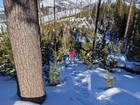
Nearing the summit of Kline. |
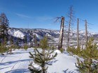
Kline Mountain summit view. |

Retracing our path down Kline. |
|
|
|