|
Danny Benchmark
Elevation 3197'
Danny Benchmark is a small butte located on the northern fringe of the Owyhee Mountains. It is found in eastern Oregon, just over the Idaho border from the town of Homedale. The summit offers good views, both looking into the Owyhees, as well as across the Snake River Plain. It’s a short hike of just under 2 miles round trip from Succor Creek Road, with a jeep trail leading most of the way to the highpoint.
I was looking for a quick hike close to home to help burn off Christmas cookie calories. A rainy forecast east of Boise pushed me west, and I decided to make the hour drive to Danny Benchmark. I parked just off the side of the road, and started hiking up the jeep trail. Other than some cows about halfway up, the hike to the crest of the ridge was uneventful. I then make the traverse south to the highpoint, dodging a few basalt boulders along the way.
Partly clouds skies made for good summit views. I had a quick snack, and retraced my path along the ridge, and then down the jeep trail. The crux of the day was getting my car out of the mud and back on the main road. Round trip was just under 2 miles round trip, with 450 feet of elevation gain in 45 minutes of hiking. Not too exciting, but just what I needed given time constraints.
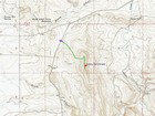
Map of the route, 2 miles and 450' gain round trip. |
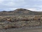
Danny Benchmark from the drive. |
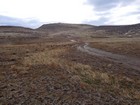
Start of the hike, beware of mud. |
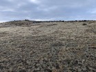
Cows on the way up. |
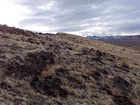
View south to the highpoint. |
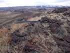
Danny Benchmark summit. |

Summit marker. |
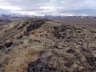
Northern Owyhees. |
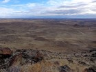
Snake River Plain, Boise Mountains in the distance. |
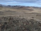
Looking back down toward the trialhead. |
|
|
|
