|
Smith Butte Loop
The Owyhee Mountains of Eastern Oregon are great a great place for solitude. The high-desert terrain is pretty wide open, which makes for great views. But it also makes for zero shade, so the area is best visited best visited during the shoulder seasons when the temperatures are mild. Smith Butte is located not far from the Idaho border, near Succor Creek Road. The road is usually open, even in winter months. As a bonus, a loop hike can be done to include hikes up three buttes in a nine mile hike.
With not a lot of time for planning, I turned my attention to some peaks near Succor Creek Road. I figured at least one butte would be climbable, and possibly up to three depending on snow conditions. The drive took just under 2 hours, and it was a chilly 15 degrees where I parked, north of Smith Butte.
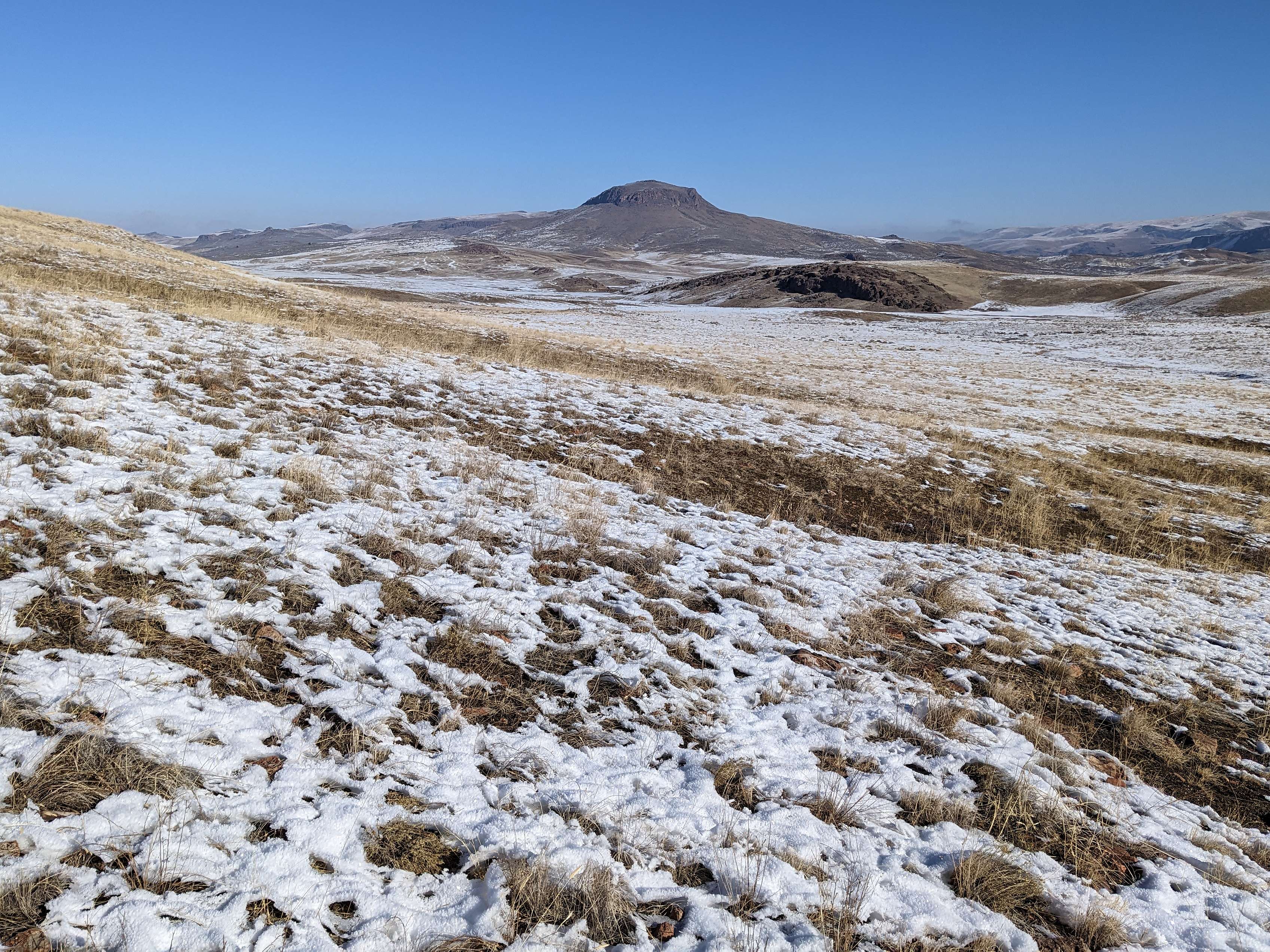
The north facing slopes of Smith Butted held a couple inches of lingering snow, but not too bad, and I made a steady pace up to the summit, passing a group of horses along the way, and listening to coyotes calling back and forth across the valley.
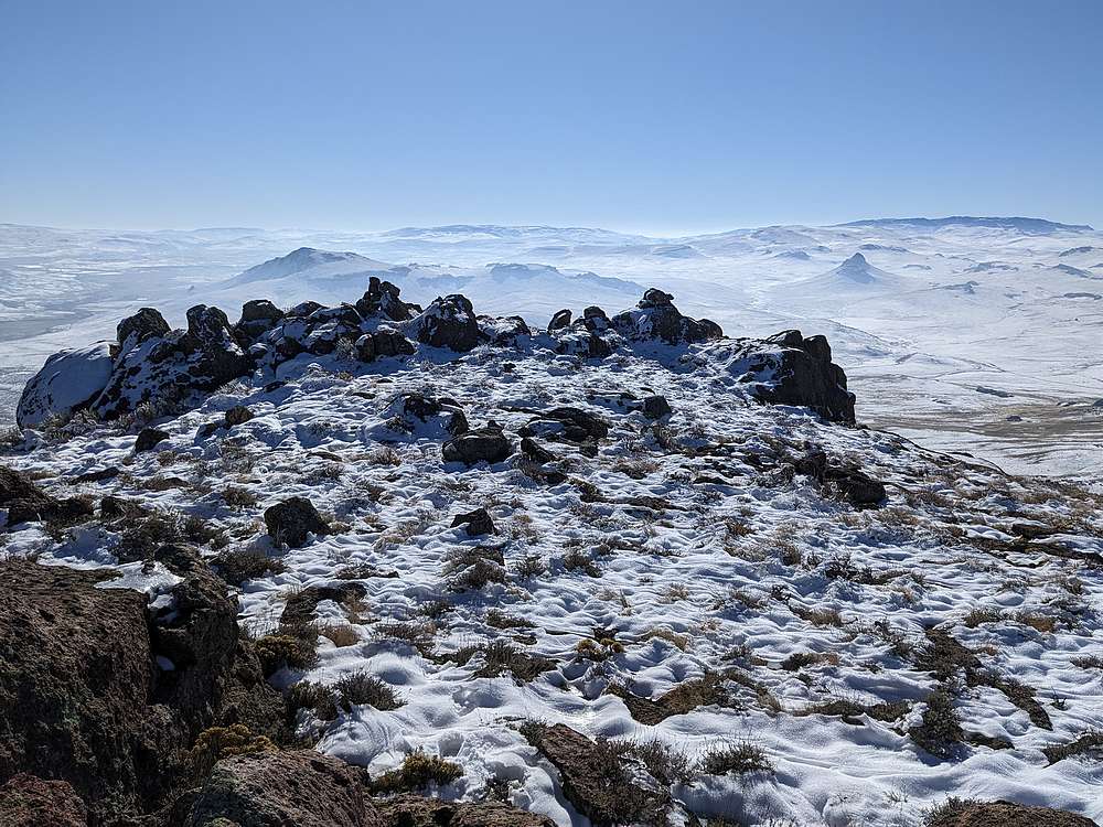
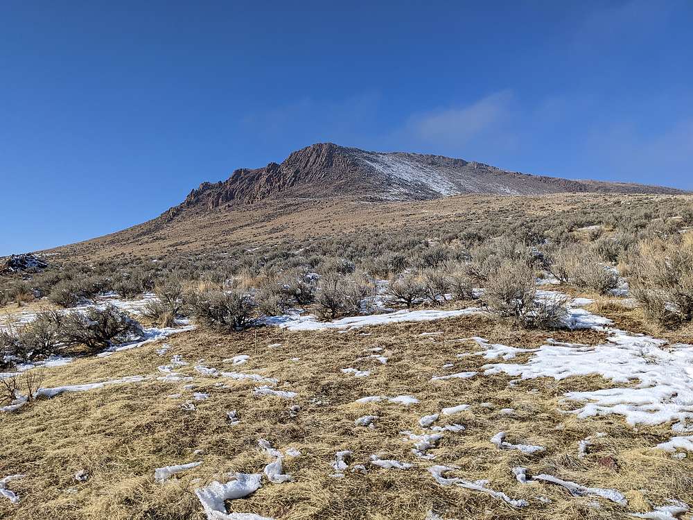
From Smith Butte, I then headed west toward Saddle Butte, which wasn’t as tall, but looked more interesting. After hiking across the flats, then up to the namesake saddle, it was time for some scrambling. With a dusting of snow on the basalt blacks, it made for an interesting and fun scramble up the north ridge to the summit. After taking some photos and enjoying the views, I very carefully down climbed the snowy rocks back to the saddle.
It was a beautiful day out in the desert. Cold, but not windy, as I made the hike north past Saddle Butte Reservoir, to the base of Round Mountain. The slopes were south facing, so no snow in this section, which made the scramble up to the summit a little easier.
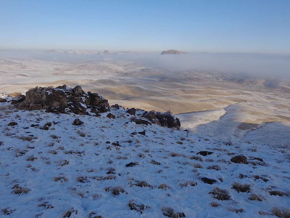
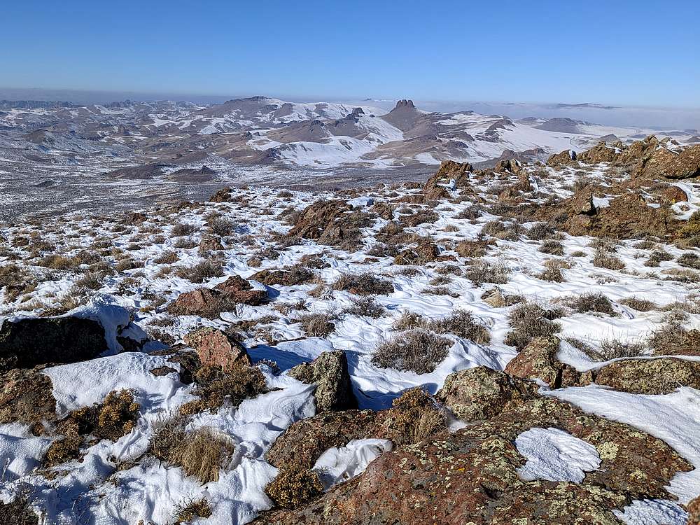
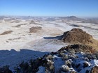
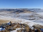
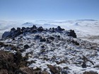
I enjoyed some lunch on the summit of Round Mountain, taking in the views south of the two buttes I’d visited earlier. It was also a good vantage point to check out Three Fingers Rock to the west. After lunch, I descended off the east side of the butte, and down to Succor Creek Road, which I hiked back to my starting point.
Round trip was 9 miles and 2500’ of elevation gain in 5 hours of hiking for this three butte loop. Nice hike on a beautiful day, and great time of year to explore the desert.
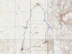
Map of the route, 9 miles and 2500' gain round trip. |
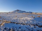
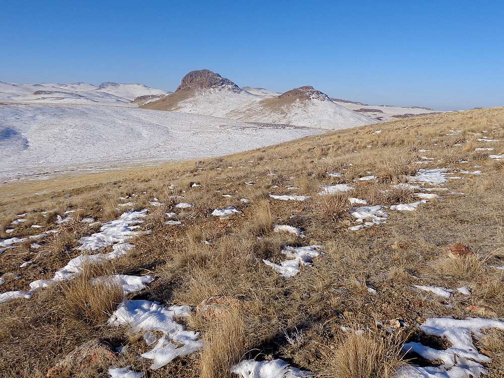
View up the north slopes of Smith Butte from the start of the hike. |

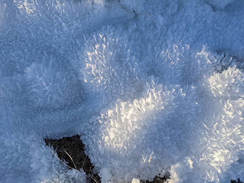
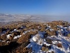
Lots of hoar frost on the lingering snow. |
Heading up Smith Butte. |
Looking back on Three Fingers Rock and Round Mountain. |
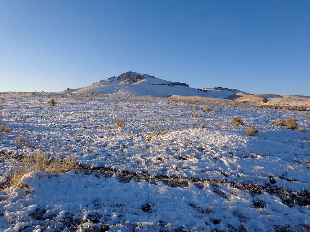
Smith Butte summit view. |

On the way to Saddle Butte. |
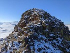
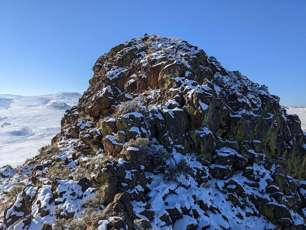
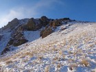
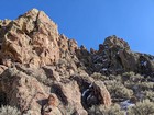
Scrambling up Saddle Butte. |
Three Fingers Rock and Round Mountain from Saddle Butte. |
Smith Butte from Saddle Butte. |
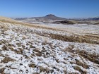
Heading north to Round Mountain. |
Scramble section on the way up Round Mountain. |
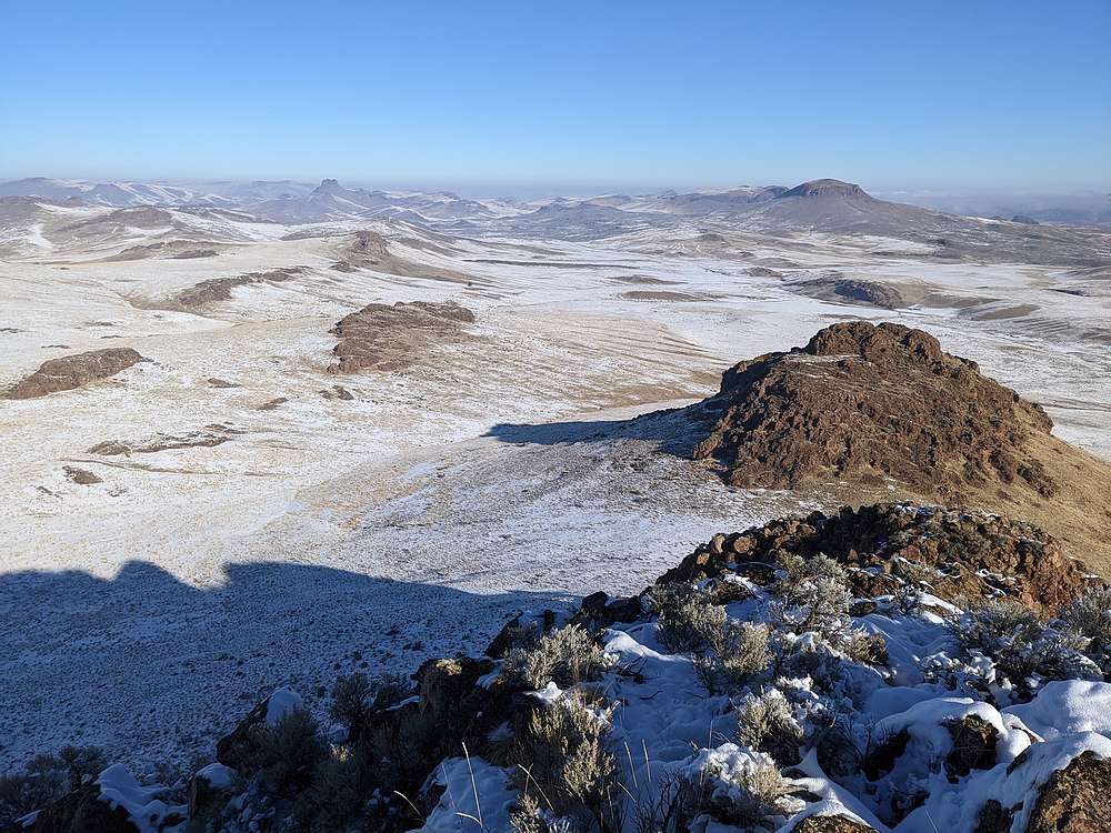
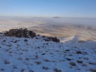
Smith Butte and Saddle Butte from Round Mountain. |
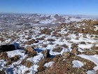
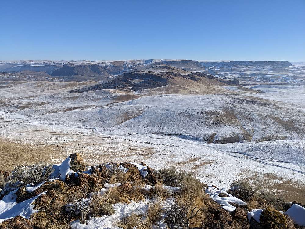
Three Fingers Rock from Round Mountain. |
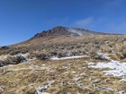
Looking back at Round Mountain. |
|
|
|