|
Stack Rock
Elevation 5895'
Stack Rock is a cool looking granite spire located in the Boise Mountains, not far from Bogus Basin. If you’re in the right spot, and know where to look, Stack Rock is visible from Boise. Following trail reconstruction in 2019, there’s now a well-marked trail to get you there. This is considered an intermediate level hike due to the ~11 miles of hiking required to get you there and back. But the trail is pretty mellow, not too much uphill, and quite a bit of shade along the way. Whether or not you choose to do the final class IV spicy climb to the summit, the area is still well worth a visit.
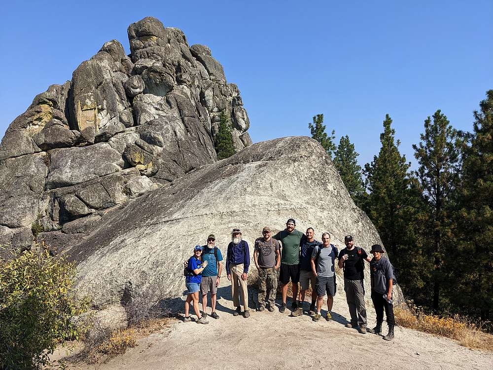
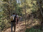
After much anticipation, a group of 10 of us from church tackled the Stack Rock hike on a somewhat smoky Saturday. Since there was enough parking spots available, we decided to start at the lower trailhead to save some mileage. By about 9:15am, we hit the trail, full of expectation.
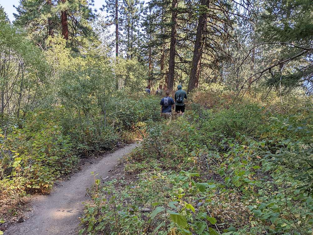
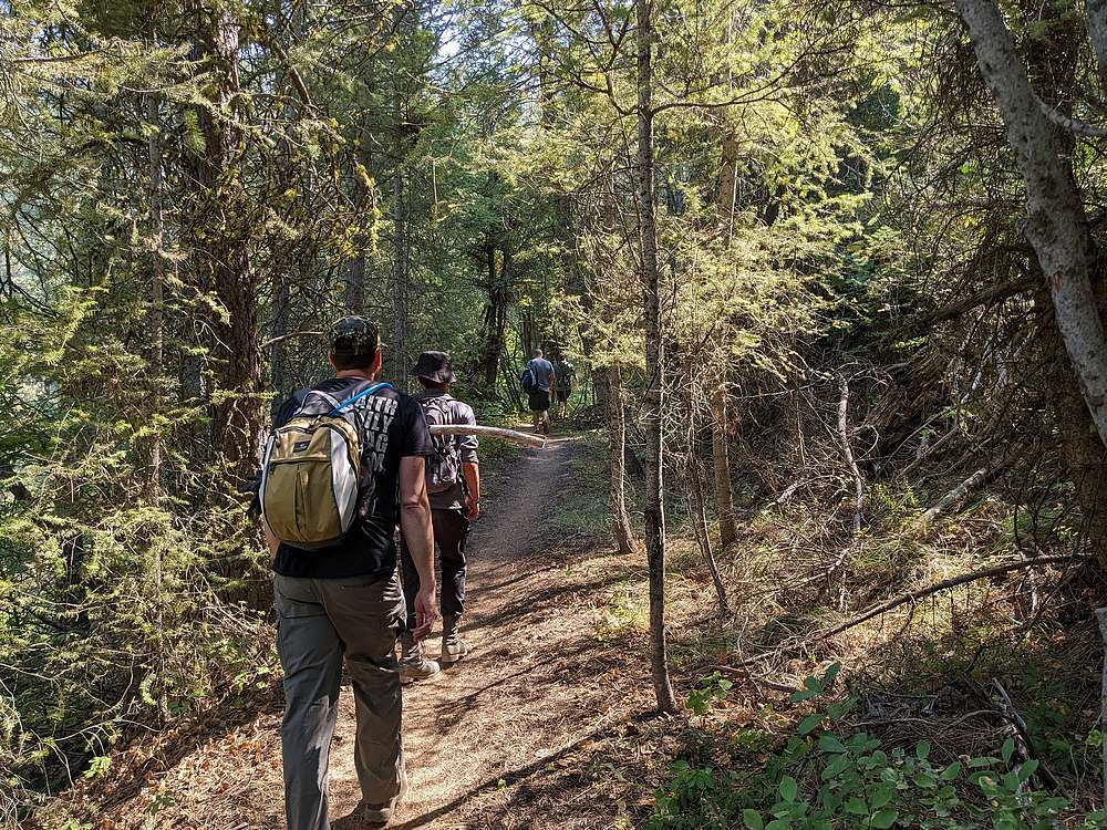
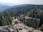
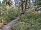
The undulating trail lead us along the hillside, through various sections of forest and rock outcroppings along the way. After ~2.5 miles of nice hiking, we paused for a snack break at the 5-way intersection with the Sweet Connie trail. Following our break, we continued on Trail 125, which leads you from the trailhead all the way to Stack Rock. Soon enough, we encountered the only significant uphill section, 500’ of gain in a half-mile just before reaching our destination.
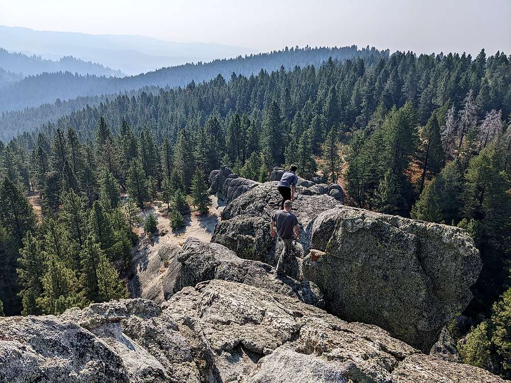
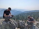
Stack Rock looked impressive. After taking some photos, a few of us decided to see if we could find our way up. I won’t try and describe all the twists and turns (Tom Lopez’s website does this well), but we had a lot of fun trying to find our way up, slipping through gaps, sneaking under boulders, traversing along edges, and of course the infamous mantle-move not far below the summit.
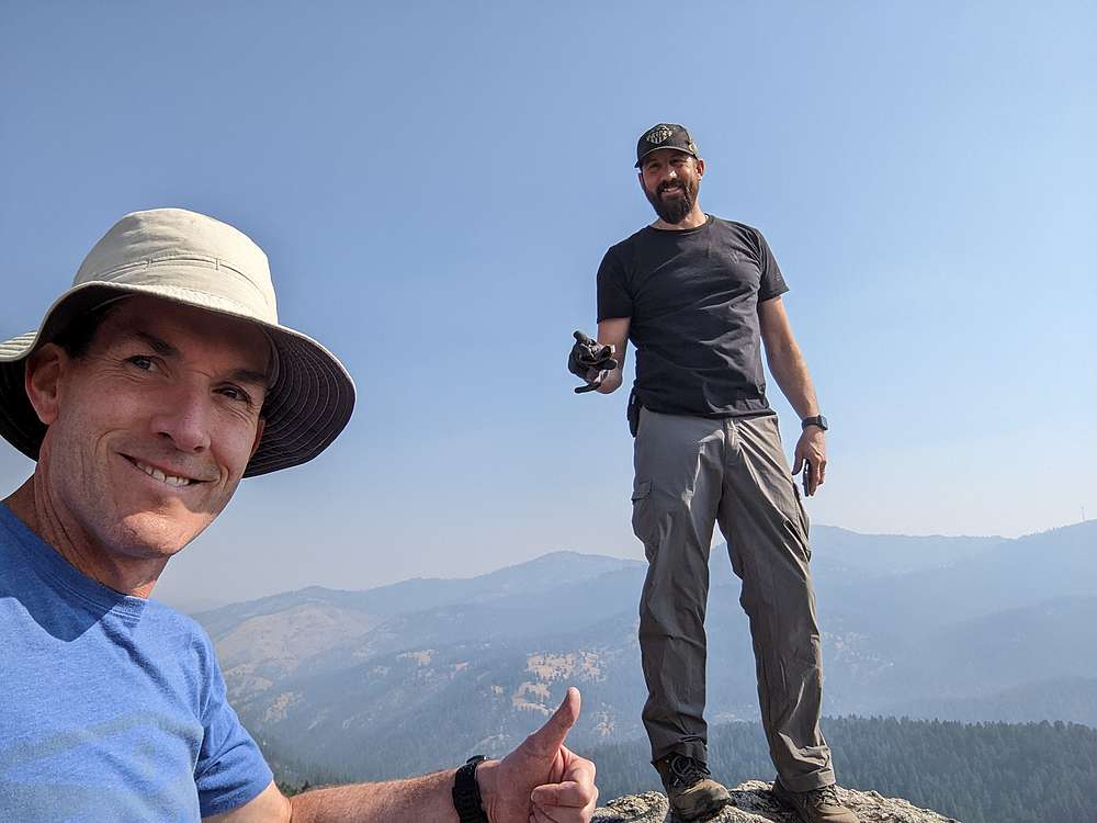
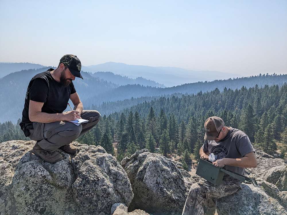
There was enough exposure along the way to keep our blood pumping and adrenaline flowing. Definitely class IV scrambling if you ask me. The summit was a welcome sight, and we all signed the register log. But we still had to climb back down this thing! Fortunately, we all made it down without incident. We joined the rest of our group at the base of the rock, and enjoyed some lunch. Good place for a PB&J!
For the hike back, we decided to go “the long way”, following the trail around the north side of Stack Rock. We all enjoyed this section, and even decided to extend the hike a little, and ended up taking the “Mr. Big” trail to get us back to the 5-way intersection. From there, we retraced the main trail back to the trailhead. Although the afternoon sun made it a little warmer than our morning hike in.
What a great trail, and only a half hour from Boise! We covered just under 11 miles and 1300’ of elevation gain in 5.5 hours of hiking. A nice day of hiking, and fun to get to know some new friends.
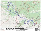
Map of the route, just under 11 miles and 1300' gain round trip. |

Hiking through some rock outcroppings on the trail. |
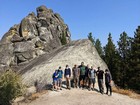
Group shot at the base of Stack Rock. |
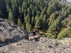
Making our way up the rock. |
Checking out the false summit. |
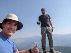
Me and Lucas at the highpoint. |
Signing the summit register. |
On our way back. |
Shady trail on the north side of Stack Rock. |
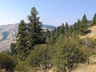
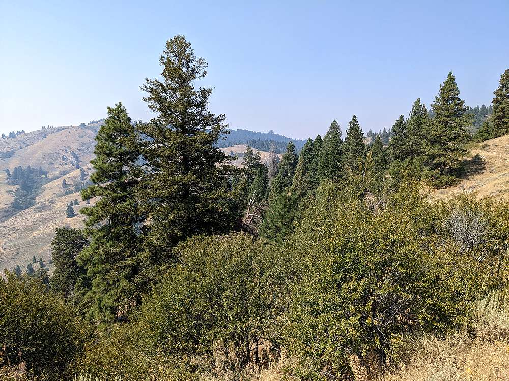
Looking back on Stack Rock, not far from the trailhead. |
|
|
|