|
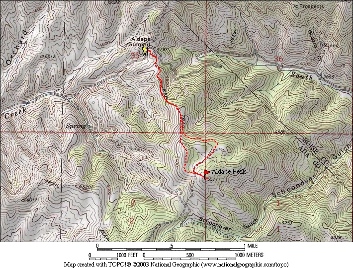
A short close to home hike on Father’s Day is becoming a fun family tradition. This year’s destination was Aldape Peak, located on the Boise ridge between Lucky Peak and Aldape Summit. After a quick drive up Rocky Canyon road, we parked just below Aldape Summit. There is some private property that you should skirt around, and then pick up an old overgrown jeep road that makes its way up the ridge heading south.
It wasn’t long before we were getting some good views of Boise, but there were enough trees around to give us some shade on the way up. After about three quarters of a mile, there was a trail that continued along the ridge, but we stayed on the road as it angled east across the forested hillside. Soon we made it to a very pretty meadow about a mile from the trailhead that would make a good campsite. After a little exploring, we continued onward and made it to the rounded summit, which had good views in all directions.
On the way back, we decided to take the ridgeline trail for some variety. It had great views, but was a little steep in places, so I was glad we’d used the old road on the way up. Lot’s of wildflower inspection and pinecone throwing as we made our way back to the car. Good times were had by all! Probably one of the more enjoyable local “peaks” I have done.
Map of our route, just under 3 miles and 800' of elevation gain round trip. |
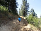
The trail early on.
|
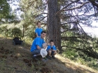
Water break. |

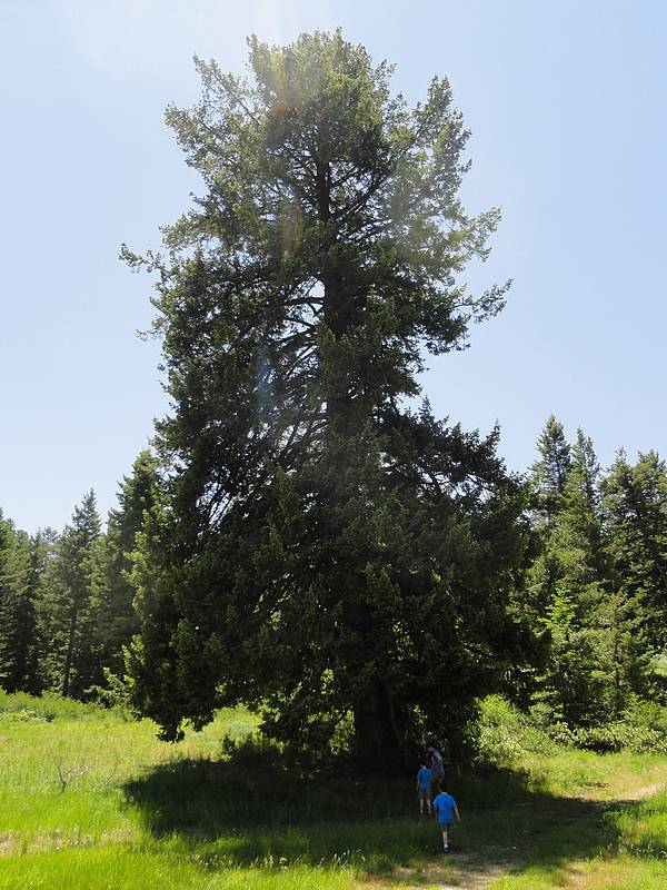
Huge fir tree! |
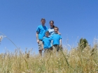
Family shot on the summit. |
|
 |
IdahoAlpineZone is unofficially sponsored by Skippy Peanut Butter.