|
Boulder Mountains Trilogy
|
Related Links:
- IdahoSummits Trip Report
- Splattski Trip Report
- Larry Prescott Trip Report
- Trailhead Location
- My GPS Tracks
- Boulder Peak: TL, SP, PB, LOJ, Map
- Boulder Basin Peak: TL, SP, PB, LOJ, Map
- Silver Peak: TL, SP, PB, LOJ, Map
|
Central Idaho’s Boulder Mountains are located just north of Ketchum, and are home to some rugged and beautiful peaks. The most often seen section of the Boulders is the main boulder front, visible north along highway 75. Even though it’s not the highest peak, Boulder Peak is the most striking mountain on the crest since it sits a little closer to the highway. The south ridge of Boulder Peak is steep and rugged, but is a straightforward climb with just a little route-finding.
I’d read Splattski’s “Boulder Talus Trilogy” trip report numerous times, but never mustered the courage to tackle what sounded like a grueling and tedious set of 3 peaks. Michael suggested Boulder Peak, and I got to wondering if maybe doing the loop counter clockwise, with a little snow, may make the trilogy more enjoyable.
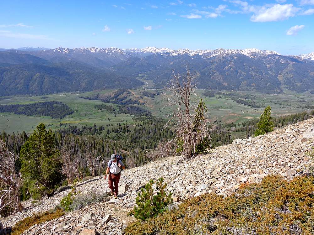
We left Boise at 6am, made it to the end of the high clearance road at 8300’, and were hiking by 9:30. After crossing the creek, there was no warm up period, and the steep grade commenced immediately as we climbed Boulder Peak’s southern slopes. Up we went, through thin forest, and thankfully not too much talus.
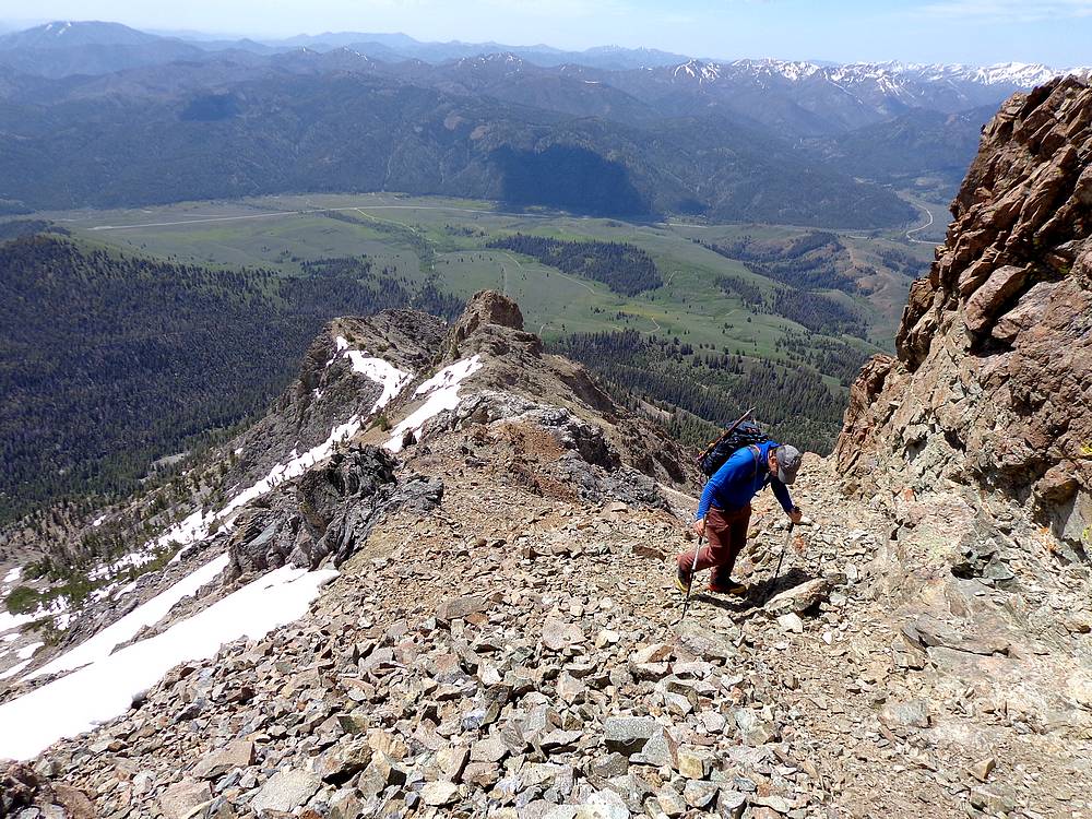
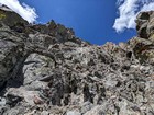
Once higher on the ridge, we followed the route-finding suggestions from Idaho A Climbing Guide. Basically follow the ridge to a prominent cliff, angle to the left (west) until we found a gully leading back up onto the ridge, briefly drop down off the ridge to the right (east), find another gully back up to the ridge, and follow it to the summit.
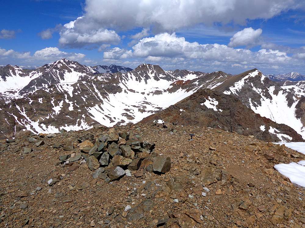
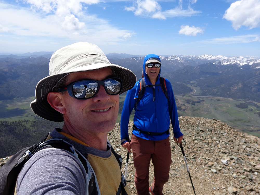
The summit of Boulder Peak offered up some great views, and some light wind helped blow off the ticks. (Seriously, one blew off my hat and landed on my phone screen while I was checking the map!) Then we found a spot out of the wind to enjoy a PBJ and whatever less impressive food Michael was eating.
From Boulder Peak, we descended north down the ridge. Michael had climbed the other two peaks previously, so he descended into the basin to the west, while I continued along the ridge. I was able to keep things at no harder than class 3 by dropping off the west side of the ridge. Soon, I was past the crux, and made my way up to the summit of Boulder Basin Peak. This gave me a good vantage point to study possible routes up Silver Peak. A mixture of steep rock and potentially soft snow on Silver Peak made it unclear which way would be best.
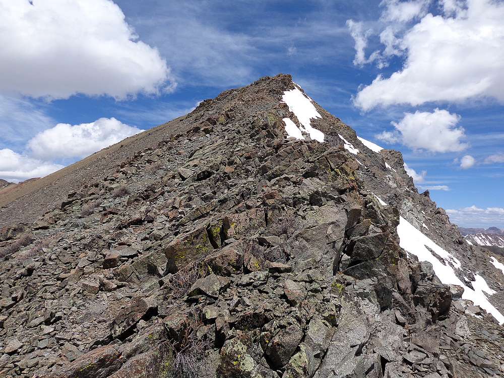
So I continued along the ridge heading northwest from Boulder Basin Peak. The ridge was a mixture class 2, class 3, and a little snow to traverse at times. I cheated down off the south side of the ridge when necessary.
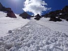
Soon enough, I arrived at the saddle at the head of the basin, still unclear on the best way to climb Silver. I decided to just contour around the snowfield at the head of the basin, and figured I would just gradually climb, and keep contouring around toward the south if necessary.
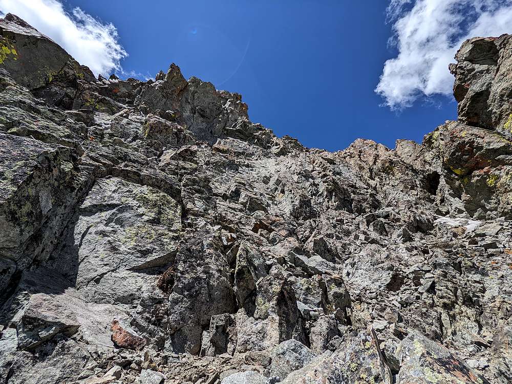
It wasn’t long before I left he snow and began a direct climb up the southeast face. The rock was steep, but stable as I climbed. Only one very committing class 4 move, just before reaching the ridge. I’d expected to crest the ridge near the summit, but ended up a couple hundred yards east. This resulted in a somewhat exposed, but very fun traverse over to the highpoint.
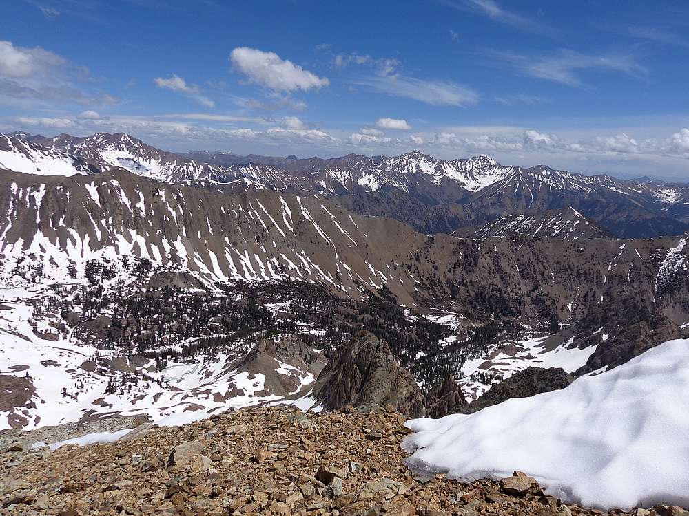
The summit of Silver Peak was a great position to check out Castle Peak in the White Clouds, and Lorenzo Peak just to the west. I had a snack, and then headed south along the ridge for a while until reaching a minor saddle with a snowfield connecting to the basin below. From my earlier views from Boulder Basin Peak, I knew this should be the best descent route.
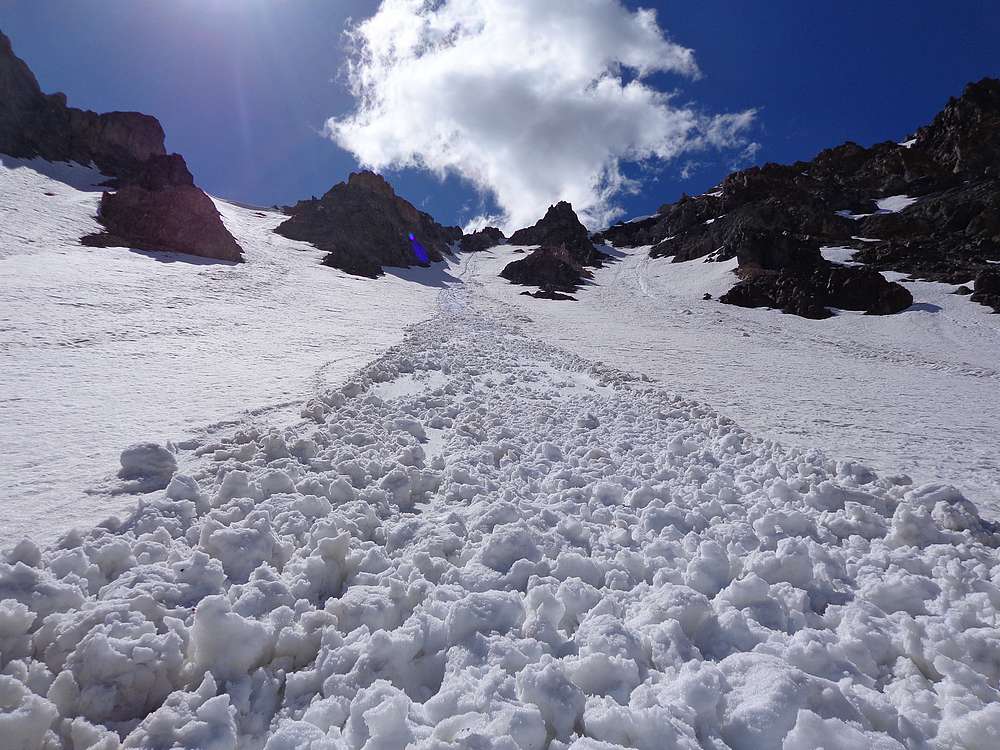
The snow seemed pretty soft next to the rocks, so I scrambled down for a while until I had a clear/straight snow path below me. At this I hopped out onto the snow, and landed in glissade position. The snow was just firm enough for glissading and I gradually built up a slushy magic carpet of snow that rode down the mountain with me. I’d triggered a small wet slide, not big enough to create any real danger (I was lucky), but still eerie and I knew I needed to stay on top of it to avoid any risk of getting buried. Once it all ended, the slide was about 15 feet wide, and maybe 6 inches deep.
Once down in the basin, it was just a matter of hiking back down to the car. The basin was very scenic, and snow in the upper section was firm enough to walk on. It became talus after the snow, and I happened across the remains of ancient cabin, and then a long abandoned and intermittent trail that I followed back to the trailhead, where I found Michael killing time doing some birdwatching while he waited.
Round trip was just under 6 miles and 4000’ of elevation gain for 3 peaks in 8 hours. (Michael had to wait around 2 hours for me.) It was a beautiful day in the mountains, and an excellent adventure working through some of the unknowns along the way. Thanks for the inspiration Splattski!
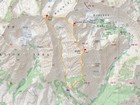
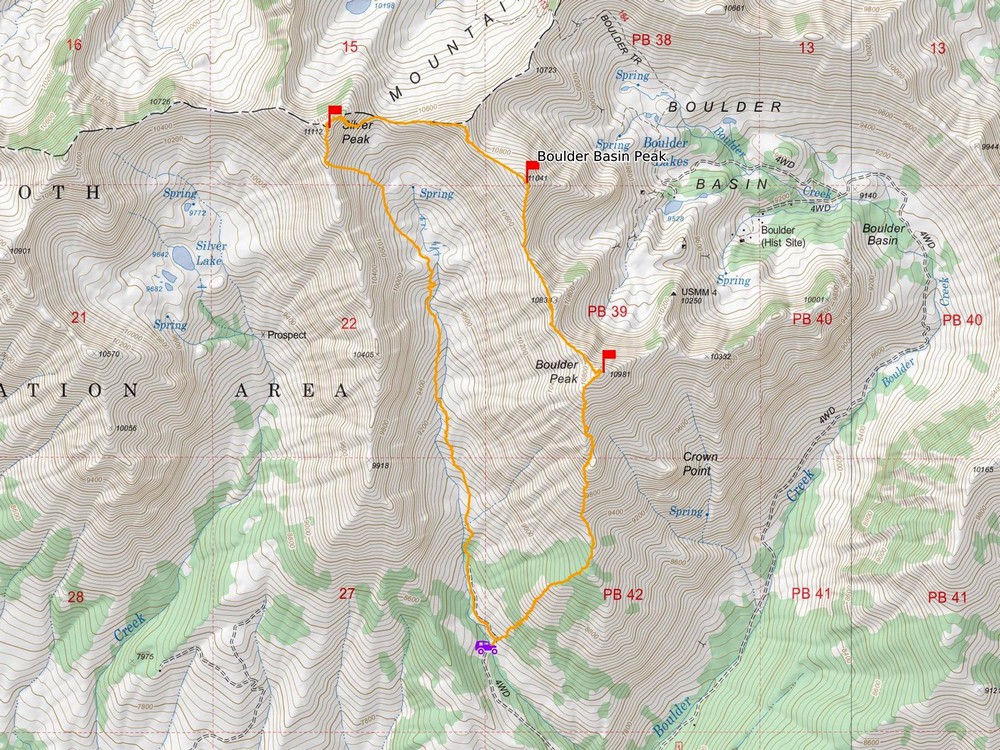
Map of the route, around 6 miles and 4000' gain round trip. |
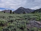
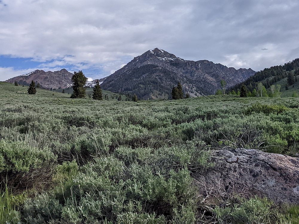
Boulder peak from the approach drive. |
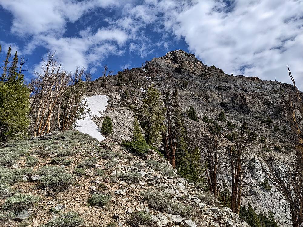
Making our way up the southern slopes of Boulder Peak. |
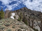
The south ridge of Boulder Peak getting steeper. |
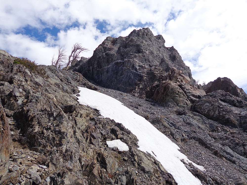
The route hangs a left at this cliff on Boulder Peak's south ridge. |

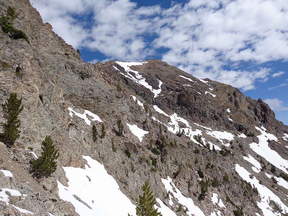
First view of the summit of Boulder Peak. Descend briefly from here, and find a gully leading back to the ridge. |
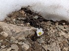
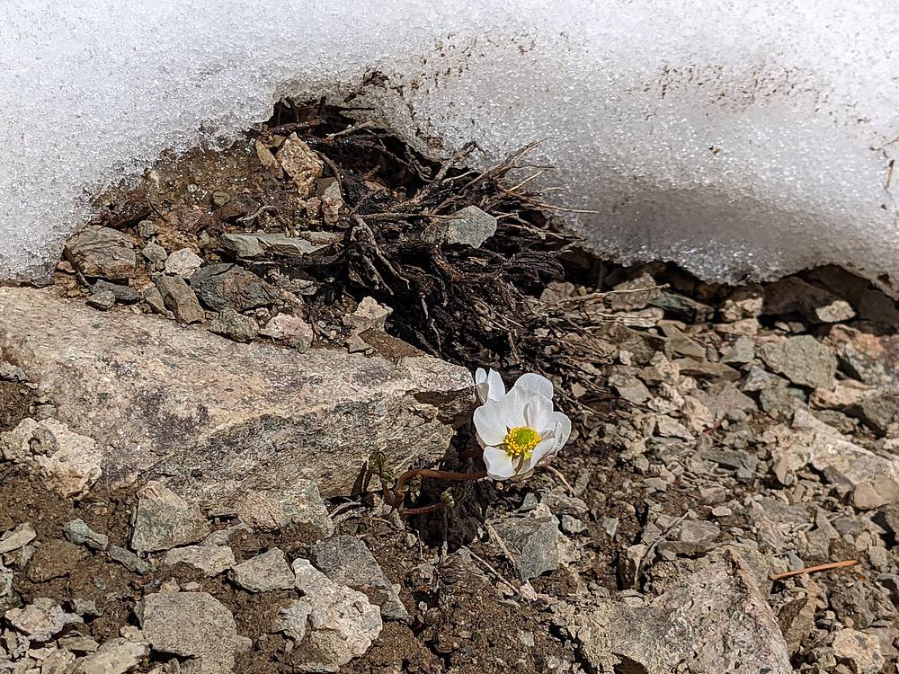
Alpine Anemone flower emerging just after the snow melts. |
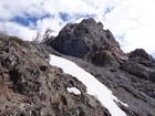
Heading up the south ridge of Boulder Peak, above the cliffy section. |
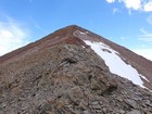
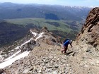
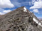
Nearing the summit of Boulder Peak. |
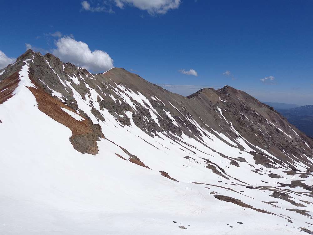
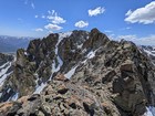
Boulder Peak summit view. Lorenzo, Silver, and Boulder Basin Peaks. |

Boulder Peak summit shot. |
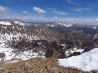
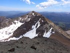
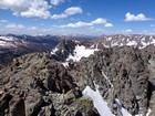
Boulder Basin from Boulder Peak. |
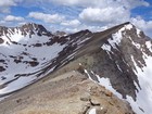
Silver Peak and Boulder Basin Peak from the ridge. |
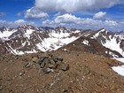
Nearing the summit of Boulder Basin Peak. |
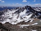
Boulder Peak from the north. |
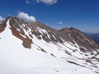
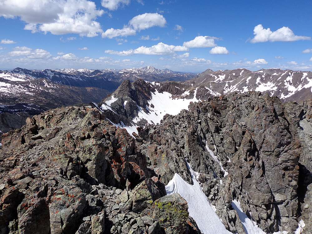
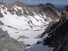
From the head of the valley, looking back on Boulder Basin Peak and Boulder Peak. |
Very steep headwall leading up the southeast face of Silver Peak. |
Northeast ridge of Silver Peak. |
Castle Peak in the White Clouds, from Silver Peak. |
Lorenzo Peak from Silver Peak. |
I used this snow gully to descend into the basin from Silver Peak. |
Magic carpet ride I took down from Silver Peak's south ridge. |
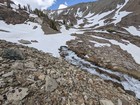
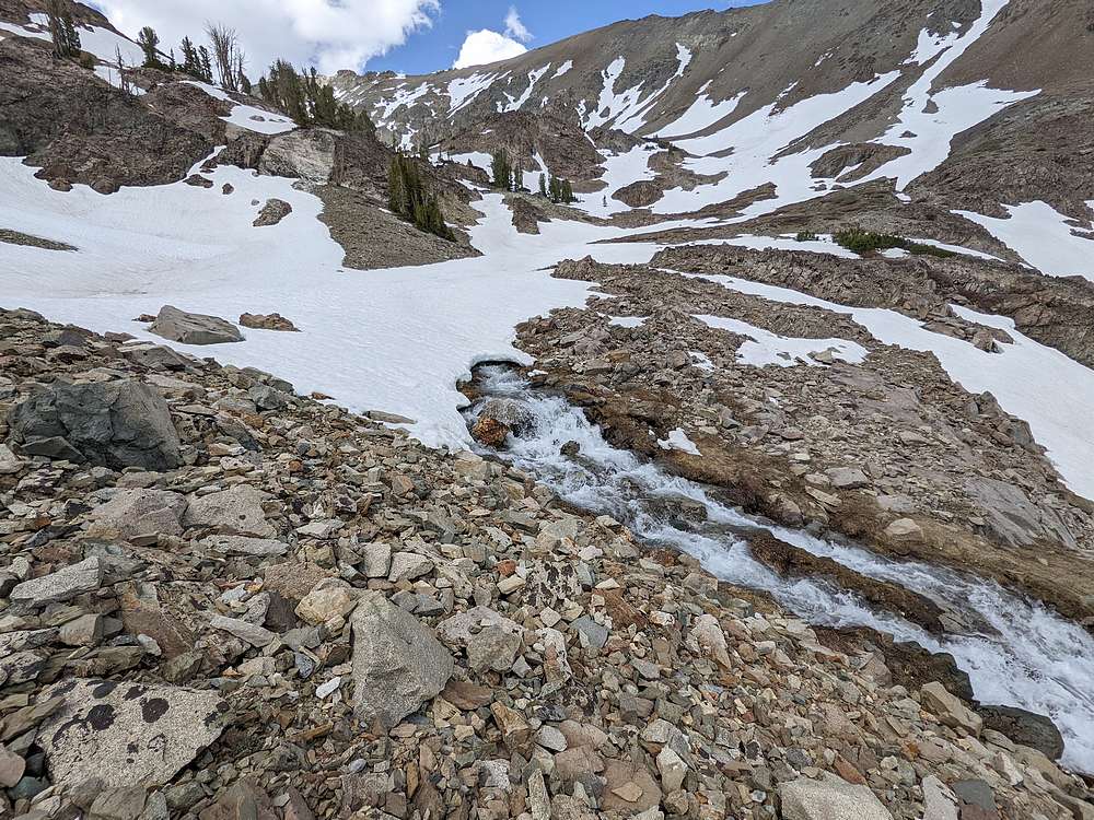
Creek emerging from a snowfield. |
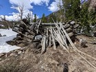
Remains of an old cabin in the basin. |
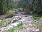
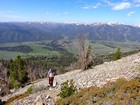
Back to the trailhead on the west fork of Boulder Creek. |
|
|
|