|
Pigtail Peak
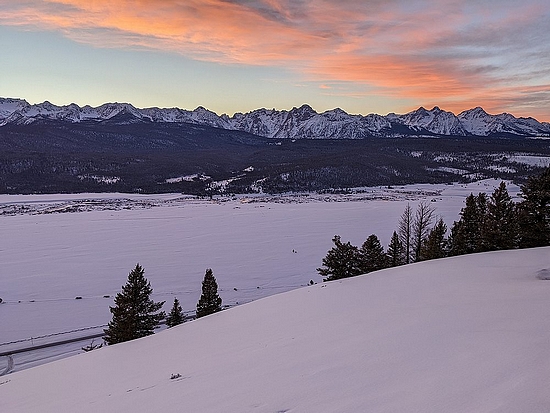
Pigtail Peak is located on the western edge of central Idaho’s White Cloud Mountains. It’s the highpoint of the ridge that divides Pigtail Creek and Martin Creek. Pigtail Peak itself doesn’t stand out much, but it does provide fantastic views into the center of the White Clouds to the east. It’s also a great vantage point to view the Sawtooth Mountains across the valley to the west.
The closest trailhead to access Pigtail Peak is Williams Creek near Obsidian. Unfortunately, there was no plowed parking there for our planned snowshoe outing. So we ended up parking at the head of a driveway a half mile to the south, and crossed our fingers our vehicles wouldn’t be towed before we retuned. (We were careful to park on the edges and not block access to the driveway.)
We had a great group with Brett, Jason, George, Haylee, and me. After the half mile highway hike, then fiddling around in subzero temperatures to get our snowshoes tied on, we were finally up and running. We made our way through the trees, over a low saddle, descended into Williams Creek, and eventually made it to the base of Pigtail Peak’s southwest ridge. A roundabout route to avoid private property.
Now it was time to go up! Brett led the way, in his usual direct climbing style. The rest of us followed him up to the ridge, where we paused for a break. Jason decided a little slower pace would be better for him, so he was more leisurely, with the rest of us racing the clock as we headed up the ridge.
The sun was shining, and the views of the Sawtooths behind us were amazing in the crisp and clear winter air. Our spirits were high, and the scenery was great. Definitely a good workout as we climbed the steeper part of the ridge, so a bit of a relief when the grade relaxed for the final mile to the summit. Once at the highpoint, we hung out for a while enjoying the views of Castle Peak and the rest of the big White Cloud Peaks. A great place for a PB&J!
Soon enough, we started getting cold and it was time to head back. We’d need to hustle to get back before dark, given the short winter day. Our spirits stayed high thanks to in-your-face views of the Sawtooths on the way down. This was in spite of occasional struggles to stay on top of the crust in places, especially on the steeper sections.
After descending the ridge, and re-climbing to the low saddle above Williams Creek, I gave my best sales pitch to talk the others into a more direct route back to the trailhead. Up and over “Obsidian Point” (Peak 7392’). George decided against it, and took the trail back. But Haylee and Brett didn’t take too much convincing.
We made the 400’ climb and arrived on the summit ridge in time for a spectacular sunset. The White Clouds Peaks reflected a beautiful purple, and the cloud streaked skies above the Sawtooths were aglow in amazing orange and blue. Very memorable.
On the way down, we carefully navigated our way down the west face of the peak, arriving back at Williams Creek right at dark. The highway walk didn’t take too long, and it was nice to have a pre-warmed car to get back to!
What a fantastic day in the mountains! Amazing scenery, almost perfect weather, and a great group of folks. Round trip was just under 12 miles and 4000’ of elevation gain in 9.5 hours of snowshoeing.
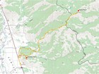
Map of the route, just under 12 miles and 4000' gain round trip. |
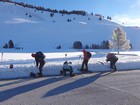
Starting from the highway. |
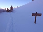
We had our eyes peeled all day… |
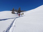
A colorful group! |
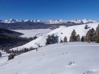
Early view of the Sawtooths. |
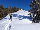
Heading up the ridge. |
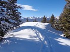
Crossing a wind loaded area. |
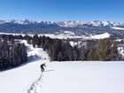
Pausing for a breather. |
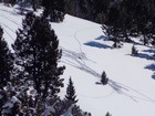
Elk carcass surrounded by tracks. |
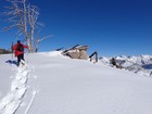
Brett nearing the summit. |
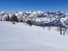
White Cloud Peaks from Pigtail Peak. Castle Peak on the right. |
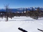
Sawtooths from Pigtail Peak. |

Group shot on the summit. |
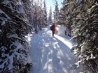
Heading back down through the trees. |
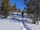
On our way down. |
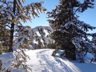
Sun shining through icicles on the trees. |
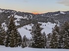
Alpenglow on DO Lee Peak. |
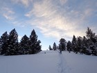
Haylee pausing for photos. |
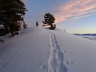
Obsidian Point summit. |
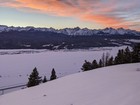
Sawtooth sunset from Obsidian Point. |
|
|
|

