|
Mineral Mountain
An Excellent Snowshoe Adventure in the Boise Mountains
Mineral Mountain is located in the Boise National Forest of central Idaho. It rises above the South Fork Payette River, and is the highpoint on the ridge between Alder Summit and Grimes Pass, just north of the historic town of Placerville. It’s possible to hike up Mineral Mountain all year round, since Boise County keeps the road plowed to Alder Creek Summit from both the north and south.
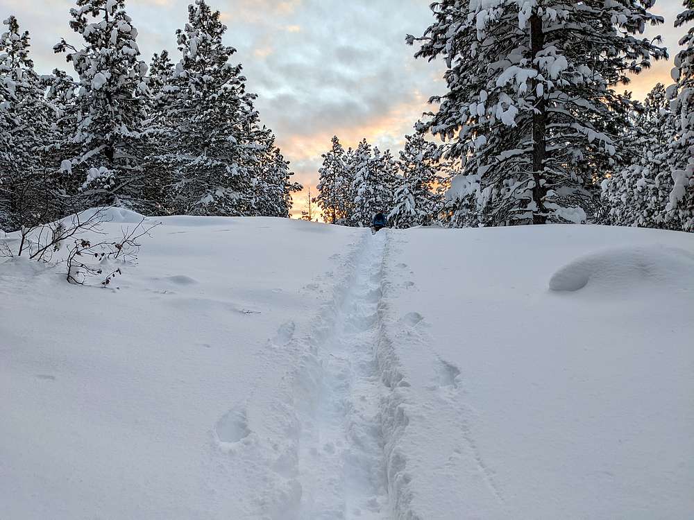
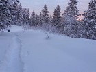
I was looking for a good snowshoe outing to ring in the New Year, so Brett and I set our sights on Mineral Mountain. We made the 90 minute drive from Boise to Alder Creek Summit via Garden Valley, and it was -5’F when we started snowshoeing at 10am. We headed east from the plowed parking log on gated Forest Service 395C. We were pretty cold at first, but it didn’t take long to get the blood pumping as we labored through knee deep powder. We could tell it would be a lot of work to cover the 5 miles to Mineral Mountain.
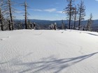
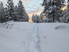
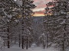
The first mile took us an hour, so no speed records would be set today. But the scenery was beautiful, with snowy trees all around us. This kept our spirits high, even if our pace was slow. Brett did most of the trail breaking as we eventually made our way to the saddle west of Mineral Mountain. We left the road here, and headed up the slopes. It was slow going, but we eventually made it to the summit area. We toured around, tagging all potential high points, and then stopped for a snack.
It was 2:30 by the time we started heading back. We hoped to tag a second summit on the way, but we were behind schedule due to the trail breaking. Our pace was of course faster on the way back, so we decided a quick detour up Peak 5740’ (I’m nicknaming it “Mineral Point”) was doable.
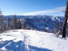
There was some serious snow wallowing involved as we made our way up Mineral Point. We laughed at ourselves and the ridiculous things us peak baggers do for obscure summits. But it was all worth it (mostly) when we arrived at the summit to enjoy some views.
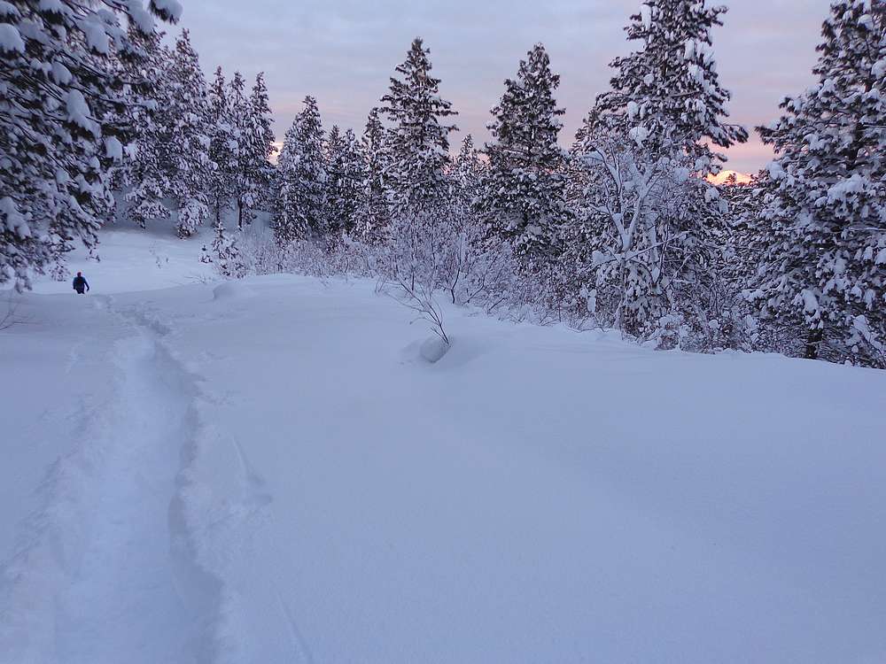
We then made our way back down to our trail, and did or best to move quickly to cover the last 3 miles before dark. It wasn’t our plan to still be out at sunset, but it was certainly beautiful. Fortunately, we made it back to the car just before dark. Round trip was just under 10 miles and 2000’ of elevation gain in 7.5 hours. What a great start to the New Year!
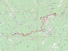
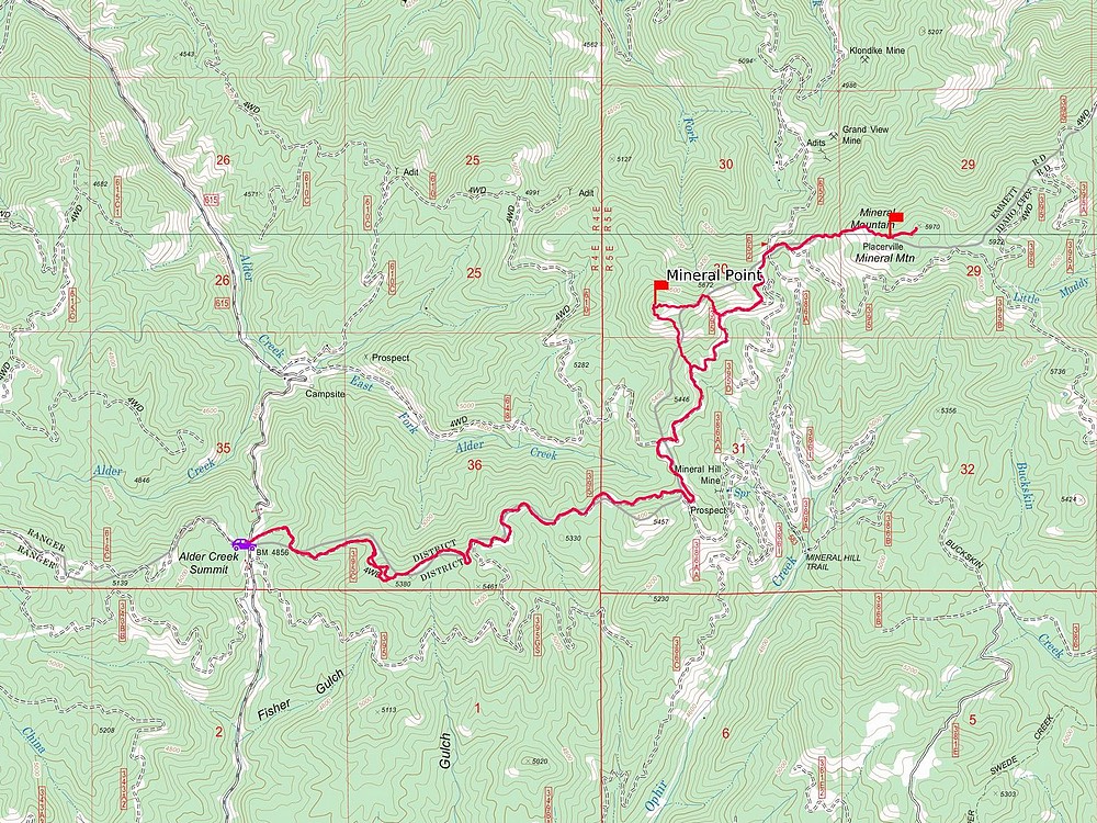
Map of the route, 10 miles and 2000' gain round trip. |
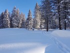
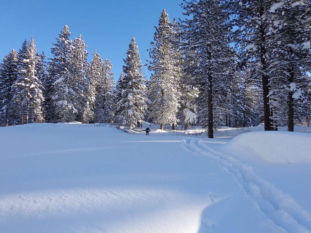
Leaving the trailhead. |
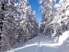
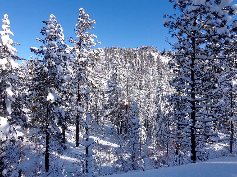
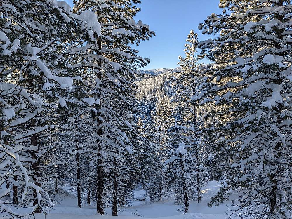
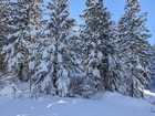
Snowy trees lining the side of the trail we broke. |
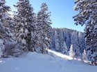
More snowy trees. |
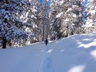
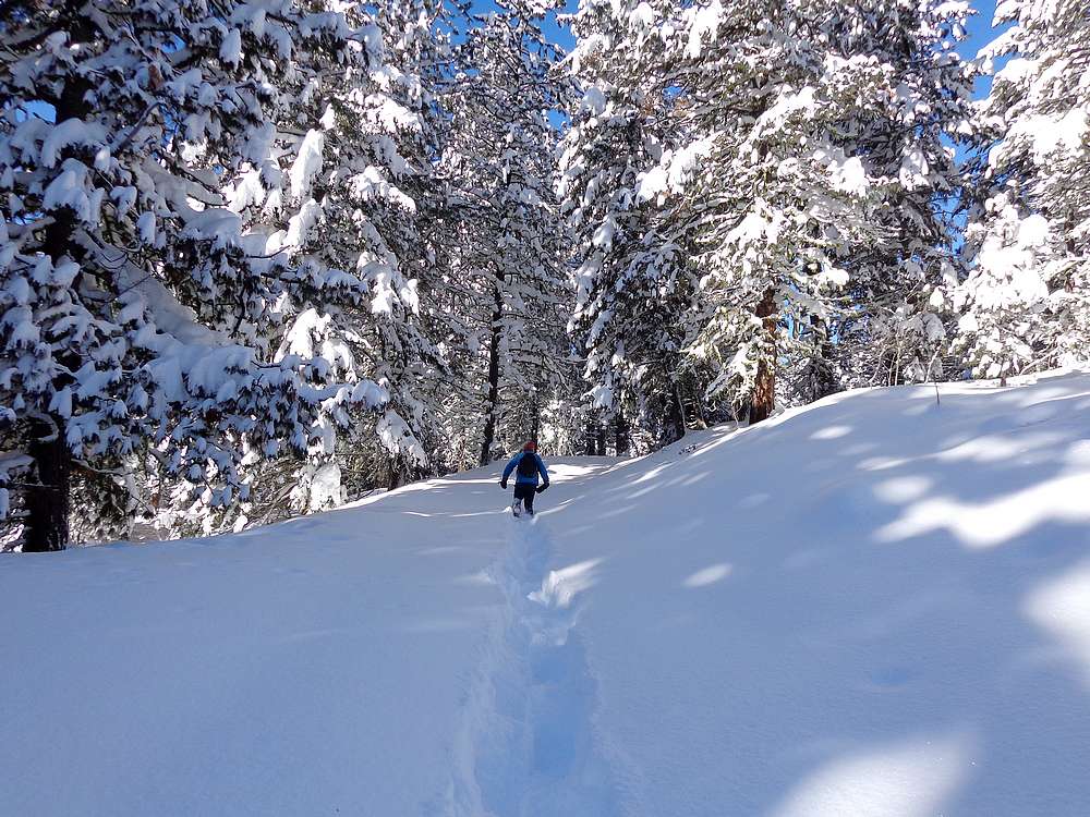
Brett breaking trail was a theme. |
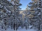
Even more snowy trees. |
And even more snowy trees. |
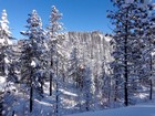
Mineral Mountain comes into view. |
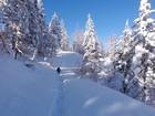
Brett still breaking trail. |
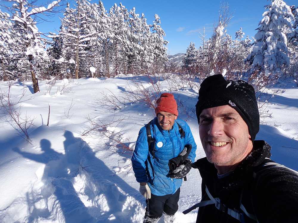
On the summit of Mineral Mountain. |
Open views during the descent from Mineral Mountain. |
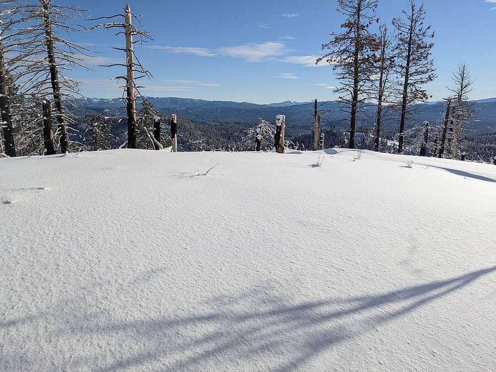
Mineral Point summit views. |
Heading back. |
Final uphill section on the way back. |
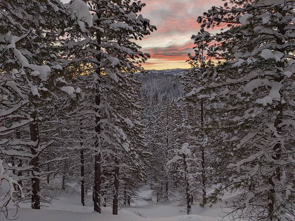
Amazing sunset, just before getting back to the trailhead. |
|
|
|