|
Scott Peak
Elevation 11,393'
Scott Peak is located in the Beaverhead Mountains of eastern Idaho, not far from the Montana boarder. Scott is the highest peak in the Beaverheads, and boasts over 4000 feet of prominence! Thanks to an abundance of loose talus on its lower slopes, it is a challenging mountain to climb. And the challenge is further increased if combining Scott with nearby 11er Huhs Horn, and unranked 11er Webber Peak.
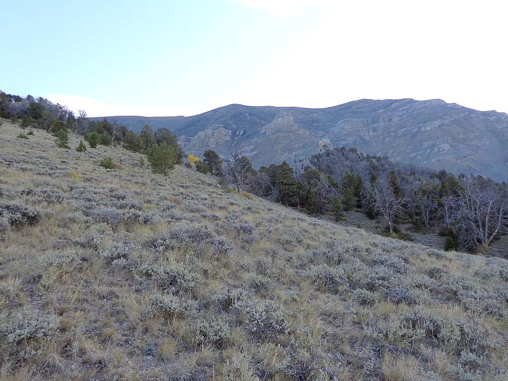
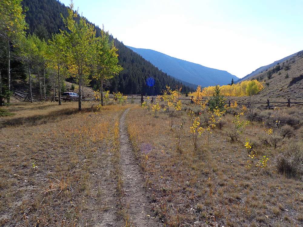
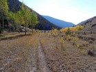
I made the long drive from Boise and slept in the back of my SUV at the Scott Canyon trailhead. The next morning was pretty chilly in the canyon as I hiked up the good trail through nice golden aspen trees. Once at the head of the canyon, the trail climbed steeply to the saddle above Crooked Creek. I left the trail at Pt 8975’, and headed cross country up toward Scott Peak’s southwest face.
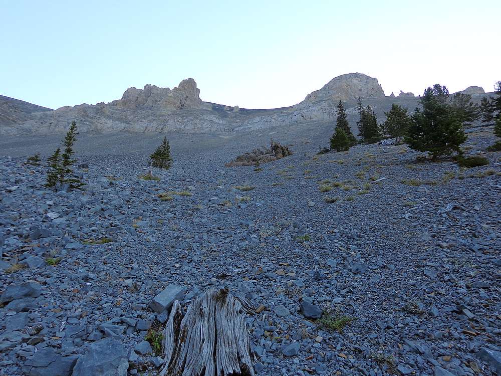
The talus around me looked lousy in all directions. I eventually picked what I hoped with be the path of least resistance, and began angling up toward a flat-ish area ridge just above Pt 10249’. The going was tedious, but not horrible, and I was relieved the reach my target and stop for a snack break.
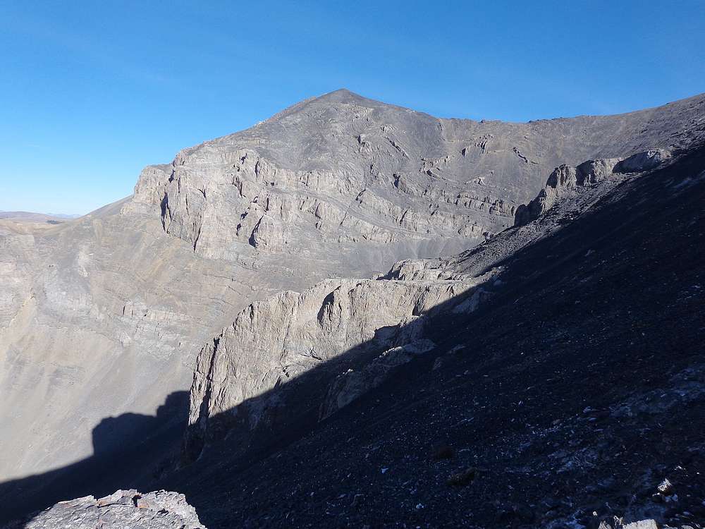
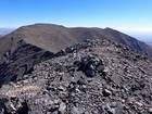
The rest of the way up was much easier. Mostly a walkup with a couple short scramble moves. I started angling east toward Webber Peak as I neared the upper ridgeline, and made it to Webber just in time to see a mountain goat making its way toward Webber from the east. Once the unsuspecting goat saw me, it quickly turned around and hightailed it back the other direction.
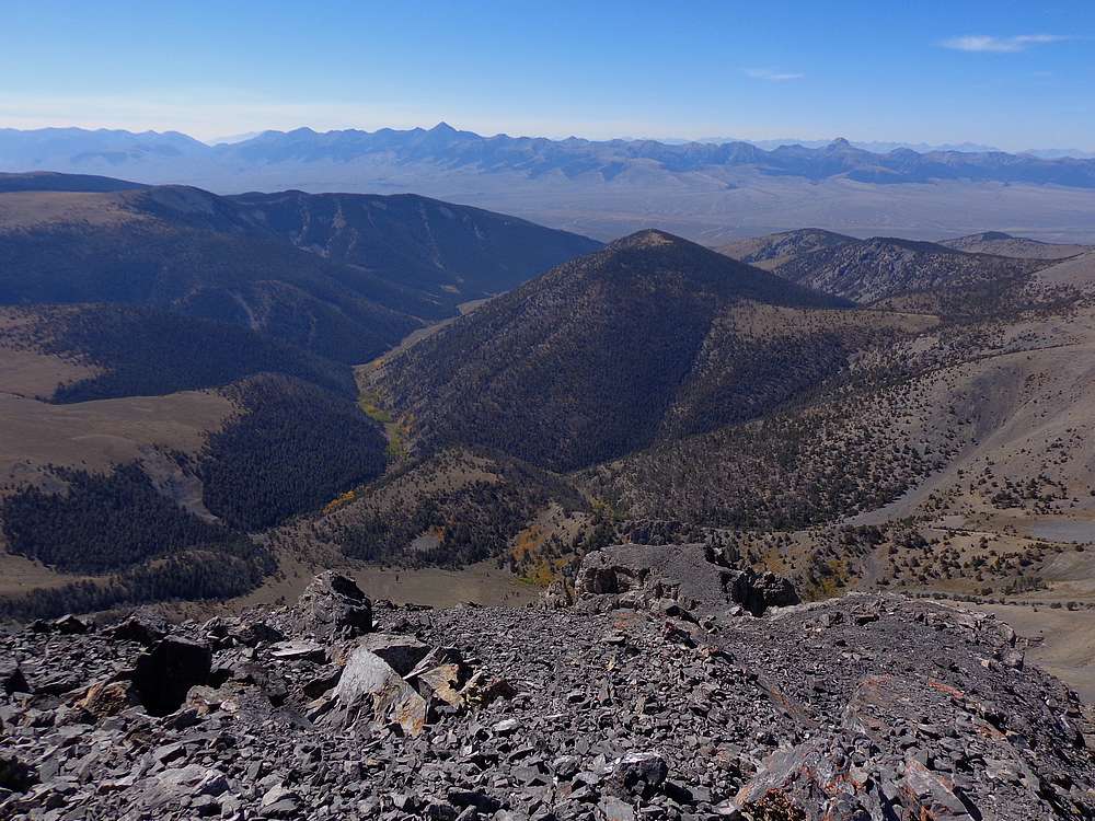
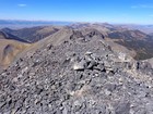
From Webber, I made the fun ridge-walk to the Clark County High Point, then backtracked to Webber. Next I followed the broad ridge up to Scott Peak. Here, I had a lengthy PB&J break on the summit, enjoying the views into Montana, and the Lemhi Range in the other direction.
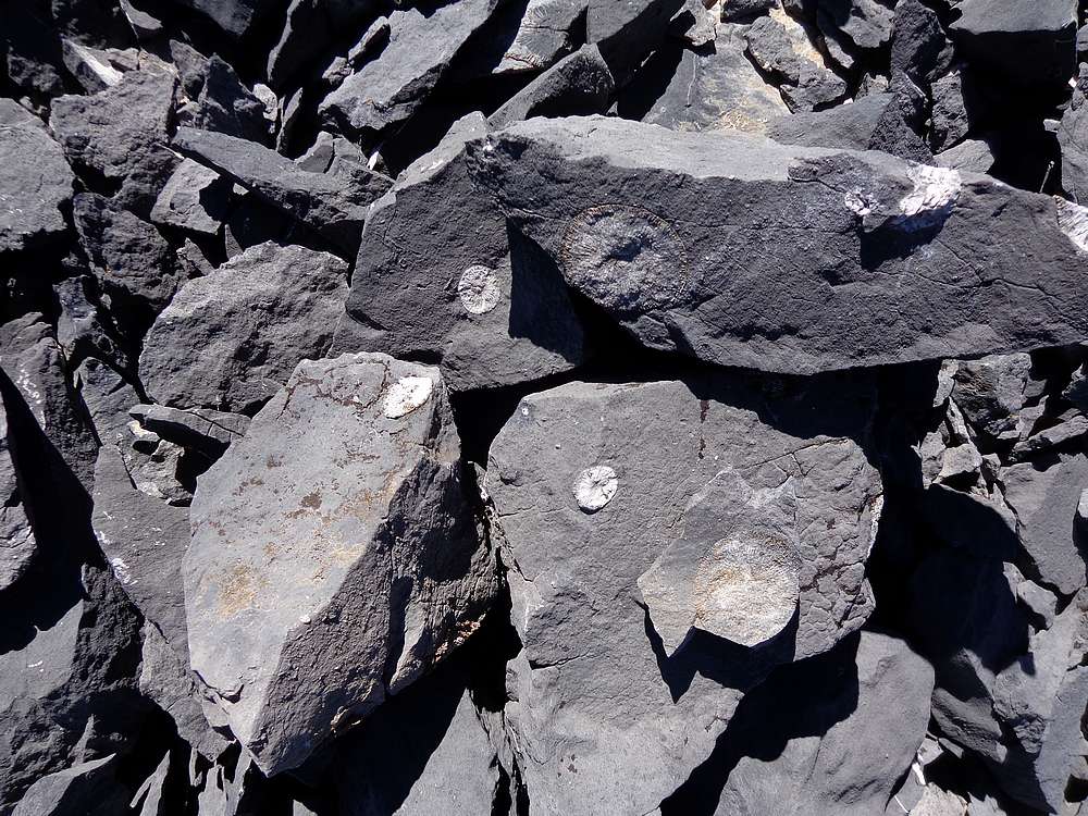
After a lunch break, I started making my way to Huhs Horn, the most attractive peak of the day. I descended broad talus slopes down to the saddle west of Scott Peak, and then up the ridge to Huhs Horn. The climbing was straightforward and fun, and I saw numerous fossils along the way.
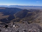
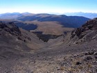
The summit of Huhs Horn offered up the best views of the day. I was impressed with the looks of the Italian Peak area to the west, and had great clear views of the Lemhis. Now it was time to head down. Once back at the saddle, I had a decision. Either re-climb Scott and descend the way I’d come up, or try a more direct descent back to the trail.
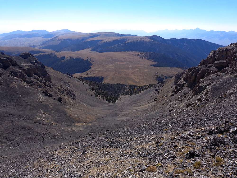
I decided on a more direct ascent. The top section was steep talus, but no issues. But in the middle, there were some cliff bands to deal with. The route-finding to search for a safe way down was time consuming, but I eventually found a way down after crisscrossing back and forth a few times. In hindsight, re-climbing Scott would have been faster and safer.
After the cliff bands, I had a long talus walk back to the trail, and then a nice hike back to the trailhead. Round trip was just over 10 miles and 4500’ elevation gain in 8.5 hours of hiking. Even with the talus, I really enjoyed this one, and it’s always fun to explore a new area.
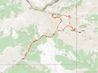
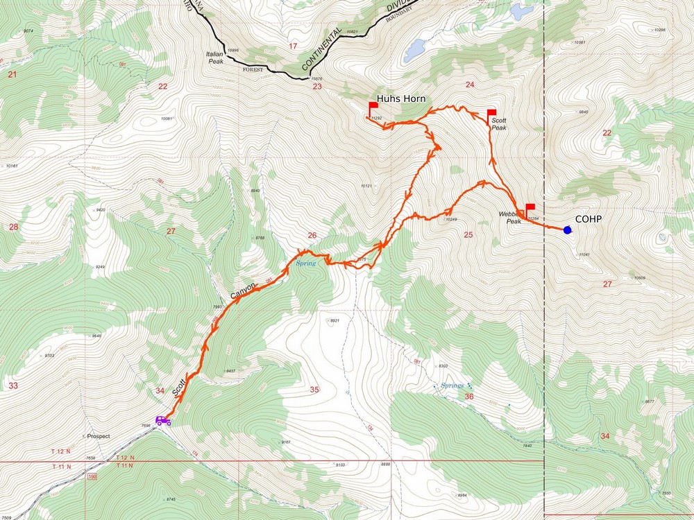
Map of the route, 10 miles and 4500' gain round trip. |
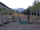
Start of the hike in Scott Canyon. |

Webber Peak from where I left the trail. |
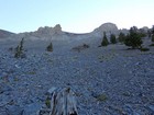
Start of the talus slog. |
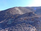
Finally above the talus, on the way up Webber Peak. |
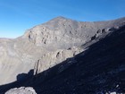
Huhs Horn from the southeast. |
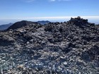
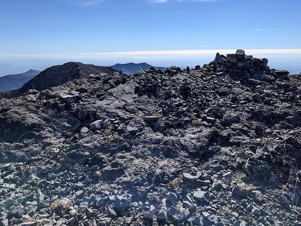
Summit of Webber Peak. |
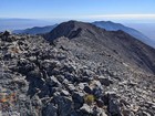
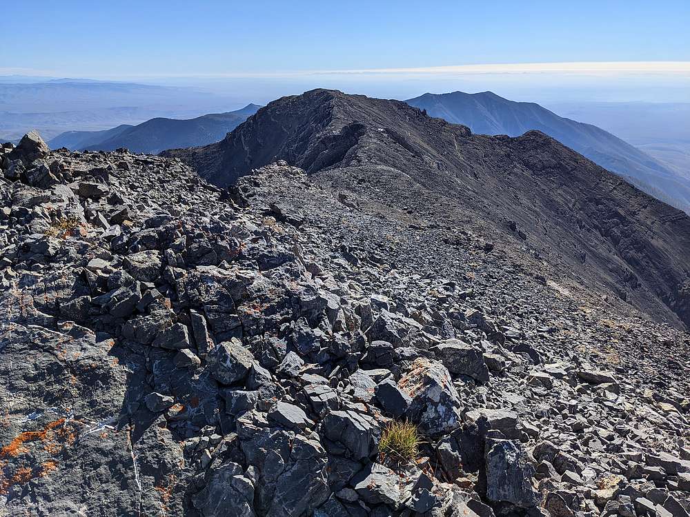
View to the Clark County High Point from Webber. |
Huhs Horn from Scott Peak. |
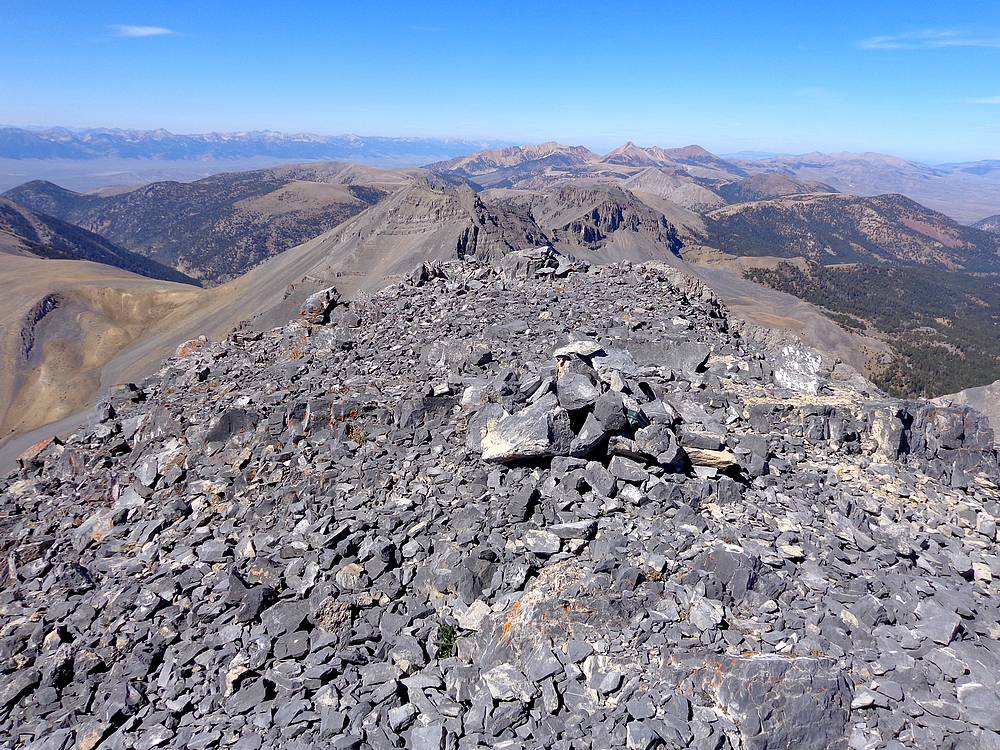
Northern Beaverheads from Huhs Horn. |
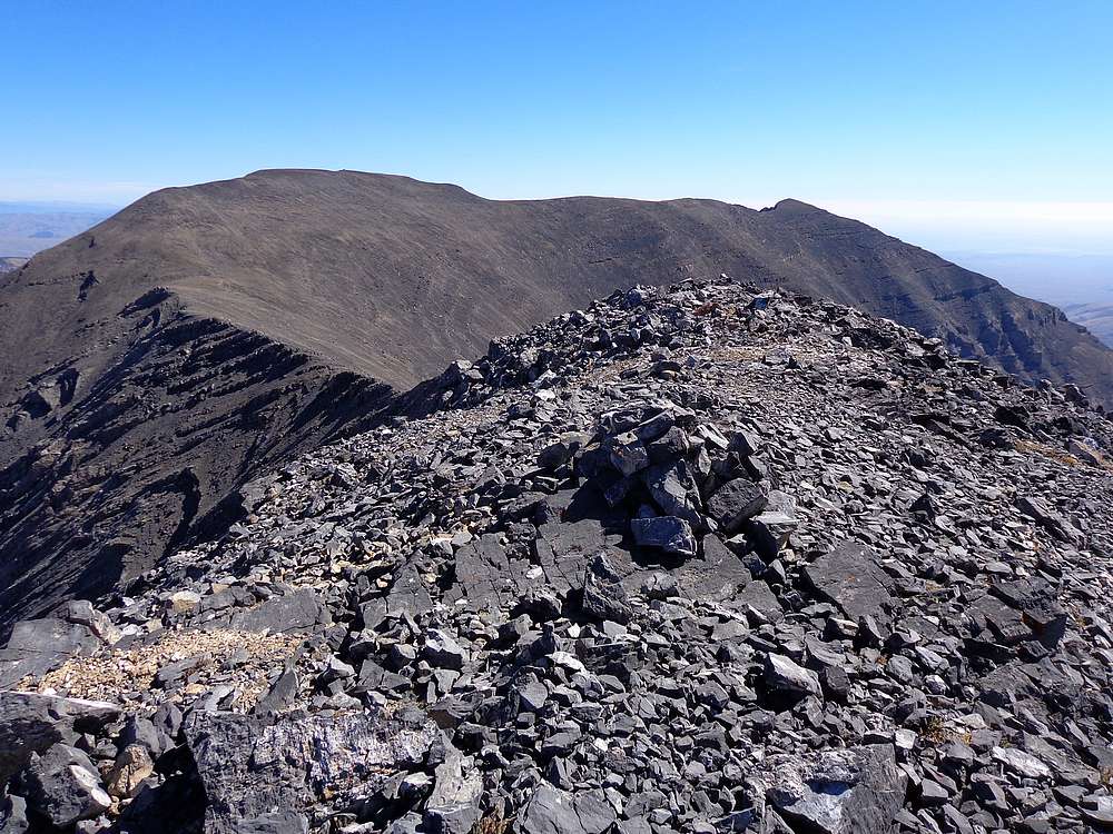
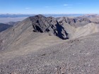
Scott and Webber from Huhs Horn. |
Diamond Peak and Bell Mountain in the Lemhis, from Huhs Horn. |
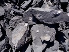
Numerous fossils on Huhs Horn. |
The cliff bands in the descent valley are hard to see from above. |
Back at the Scott Canyon trailhead. |
|
|
|