|
Lower Valley Creek Peaks
Valley Creek is located in central Idaho, and dumps into the Salmon River at Stanley. Upstream from there, it meanders to the northwest along Highway 21, before veering north. At this point, the creek can be traced up into the Salmon River Mountains. The first two obscure peaks it passes by I am going to refer to as the “Lower Valley Creek Peaks”. They are located on the board of the Sawtooth National Recreation Area. Nothing particularly noteworthy about the peaks other than they are fairly close to the highway and made for a good quick hike on my way to Stanley after work one Friday afternoon.
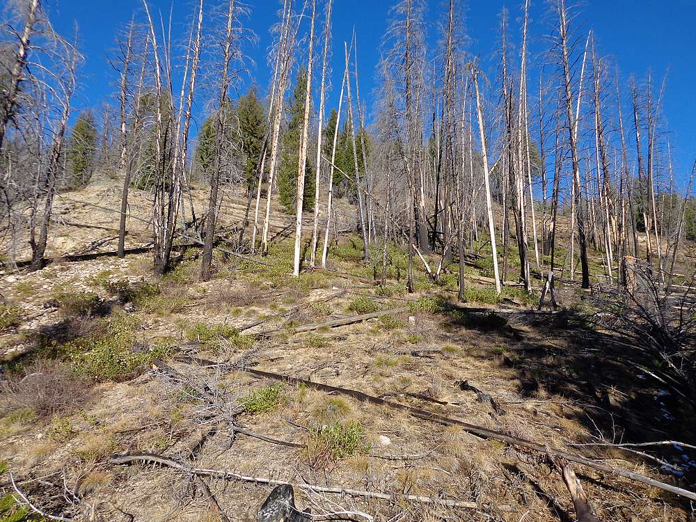
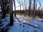
I followed the dirt road off the highway a couple miles and parked near the start of the road leading to the Valley Creek Mine. Since it was already late afternoon, I did my best to hustle up the southwest slopes of “East Lower Valley Creek Peak” (8267’). Occasional game trails helped, and only the steep slopes and occasional deadfall slowed my progress.
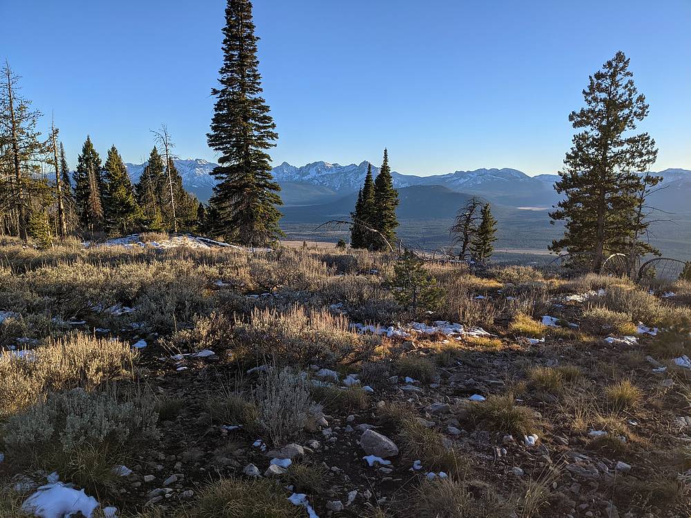
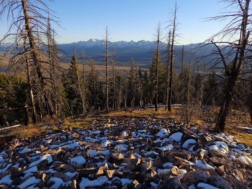
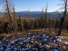
Views from the summit were quite good. The northern Sawtooths were impressive, as were the bigger peaks in the southern Salmon Rivers, Cabin Creek Peak in particular. After snapping a few photos, it was time to head down. Other than pausing to check out a couple elk along the way, I made pretty good time back down to the road.
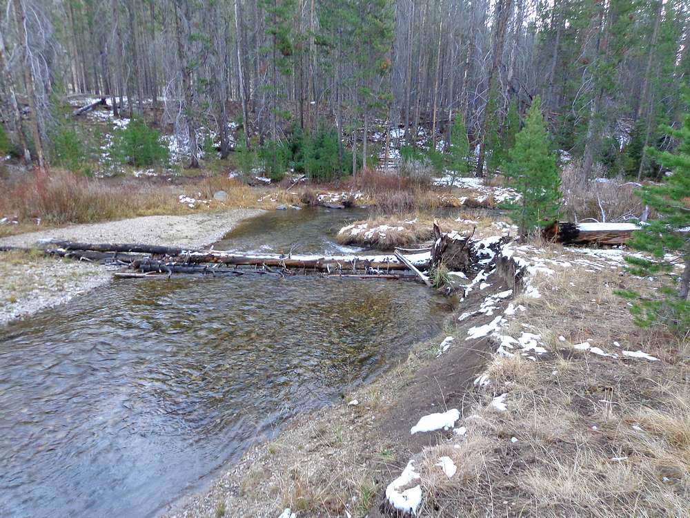
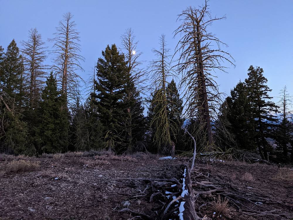
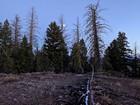
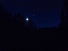
It was now dusk, but the other peak was so close, I figured I’d at least give it a shot. So after locating a tree to cross the creek, I headed up. Light was fading, so I did my best to hustle. The sun was down by the time I reached the summit of “West Lower Valley Creek Peak” (7549’). But the moon was up so it was actually pretty nice. But I did use the light from my phone part of the way down since I was too lazy to dig out my headlamp.
I managed to find the log crossing of the creek, then plow through the brush back to the road leading back to my rig. Round trip was 3.5 miles, 2100’ elevation gain, in 2.5 hours round trip. Now on to Stanley for a gas station sandwich, and on to Fisher Creek Trailhead for tomorrow’s adventures.
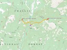
Map of the route, 3.5 miles and 2100' gain round trip. |
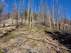
Lower slopes of the east peak. |
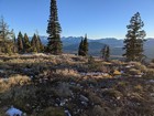
Northern Sawtooths from the east peak. |
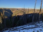
Cabin Creek Peak in the Salmon River Range, from the east peak. |
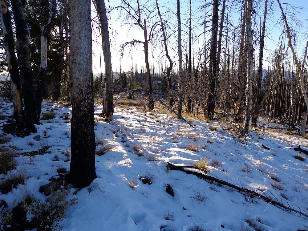
A little snow on the summit. |
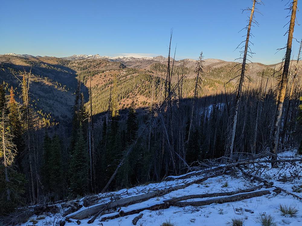
Another view of the Sawtooths on the way down the east peak. |
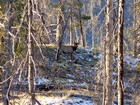
Zoom in shot of an elk through the trees. |
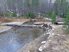
Log I used to cross Valley Creek before heading up the west peak. |
Moon from the summit of the west peak. |
A little dark by the time I got back to the truck. |
|
|
|